
 Worksheets
Landforms, Water forms and using coordinate system
Total questions: 27
Worksheet time: 20mins


What map feature is shown in the picture?
equator
lines of latitude
lines of longitude
prime meridian

What Water form is this?
Stream
River
Sea
Lake
A Canyon is a deep valley with very _____ sides
steep
smooth
rough

The Philippines is an ______________ composed of more or less 7, 641 big and small islands.
continent
peninsula
region
archipelago
How many regions does the Philippines have?
14
16
17
18
The examples of mountains in the Philippines are _________________
Mount Apo
Taal Volcano
Mount Makiling
Lake Lanao
Which one is a mountain?


What image shows a volcano?


Which is an image of a straight?


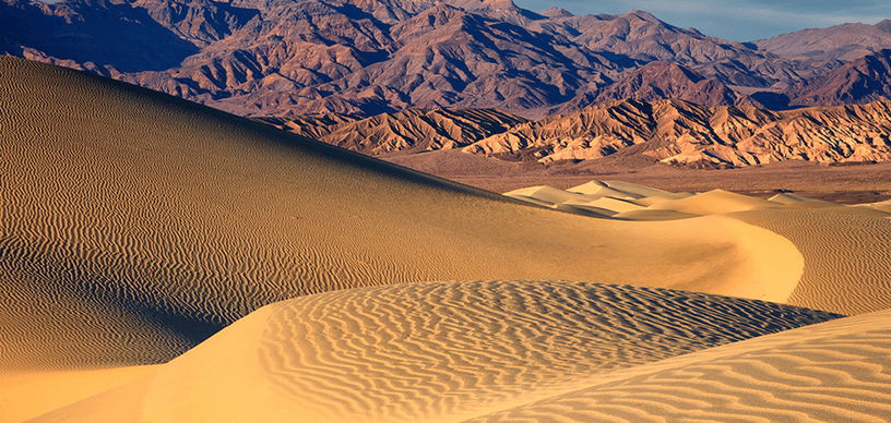
What is this?
canyon
desert
volcano
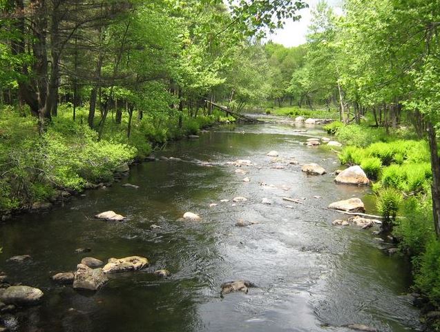
A low area on Earth's surface, usually between mountains or hills
valley
river
delta
mountain range

What landform is shown in the image above?
River Delta
Mountain
Canyon
Island
Check all the ways you use fresh water
Cooking
Drinking
Cleaning
All of the above
Name the landform that is at least 2000 feet hight and its tops are covered with snow.
Mountain
Hill
Canyon
Cave
An area of land next to a stream or river that often floods is called a...
Floodplain
River
Delta
Canyon

What is the land form?
lake
glacier
island
plateau

This water comes from the mountain that falls down and flows to the river.
sea
spring
waterfall
Which of the following reasons makes river different from other bodies of water?
carry water and nutrients to areas all around Earth
produce mineral like salt
can be a habitat to freshwater fishes
it is the cleanest water form

Prime meridian runs through places like UK, is at ___ degree longitude?
0 degree
10 degree
40 degree
What is the equator?
The line that divides the earth into 4 equal parts.
The line that runs diagonally across the earth.
The imaginary line that splits the earth into two parts.
What is the coordinates of Tokyo, Japan?
(a)
What is the name of the place at 13° N, 100° E?
(a)
Coordinates of Dubai
25° N, 55° E
13° N, 100° E
35° N, 139° E
7° N, 98° E
Coordinates of Malaysia
4° N, 101° E
35° N, 139° E

