
 Worksheets
Georgia Geography
Total questions: 35
Worksheet time: 18mins
Piedmont is known for...
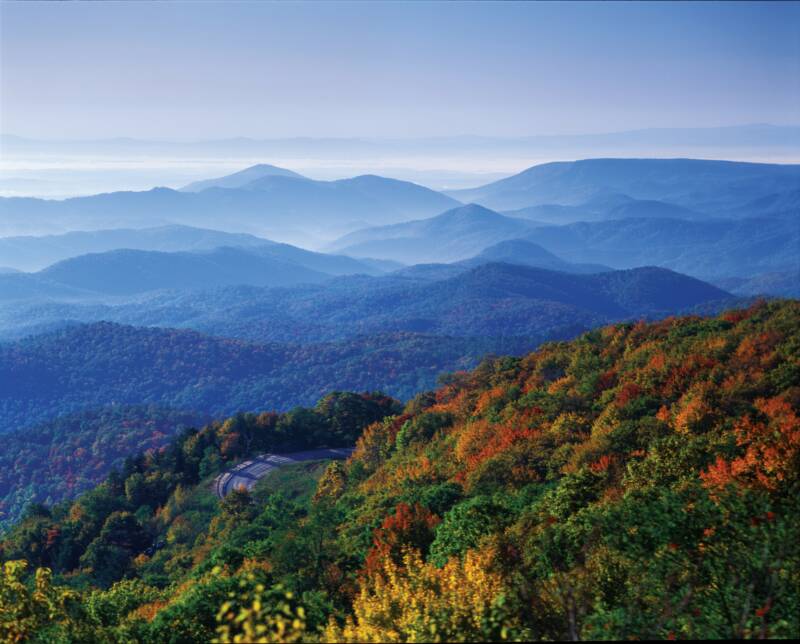
North of the Fall Line, largest city is Atlanta, most populated region of the state, red clay
Home to Lookout Mountain, mild climate, only region with coal
Tourism in the primary industry, home to Brasstown Bald, most precipitation
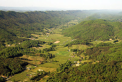
Longest growing season, agriculture in the main industry, only navigable region
Coastal Plain is known for...
North of the Fall Line, largest city is Atlanta, most populated region of the state, red clay
Home to Lookout Mountain, mild climate, only region with coal
Tourism in the primary industry, home to Brasstown Bald, most precipitation
Longest growing season, agriculture in the main industry, only navigable region
Georgia is located in the following hemispheres
Southern and Western
Northern and Western
Southern and Eastern
Northern and Eastern
Which region of Georgia produces the most agriculture in the state, including peanuts, peaches, and cotton?
Appalachian Plateau
Blue Ridge
Coastal Plain
Valley and Ridge
Which of the following best defines Brasstown Bald?
Georgia's highest mountain, at 4,784-foot-high. located in the Blue Ridge region
The point at which hilly or mountainous lands meet the coastal plain. This was once the shoreline of an ancient ocean.
The third largest physiographic region located in northeast Georgia has Georgia's highest point and the start of the Appalachian Trail.
Textile and carpet industries dominate which region?
Piedmont
Blue Ridge
Ridge & Valley
Appalachian Plateau
Coastal Plains

Based on the map, answer the following question.
What region of the United States is Georgia located?
Northeastern
Northwestern
Southeastern
Southwestern

Based on the map above, answer the following question.
What hemispheres is Georgia located in?
Southeastern
Northeastern
Southwestern
Northwestern
What region is the business/industry center of Georgia located in?
Coastal Plains
Piedmont
Appalachian Plateau
Ridge and Valley
Blue Ridge
Which area of Georgia receives the most rainfall annually?
Blue Ridge
Appalachian Plateau
Coastal Plains
Piedmont
Which of the following regions is the smallest and located in the northwest corner of Georgia?
Appalachian Plateau
Blue Ridge
Ridge and Valley
Piedmont
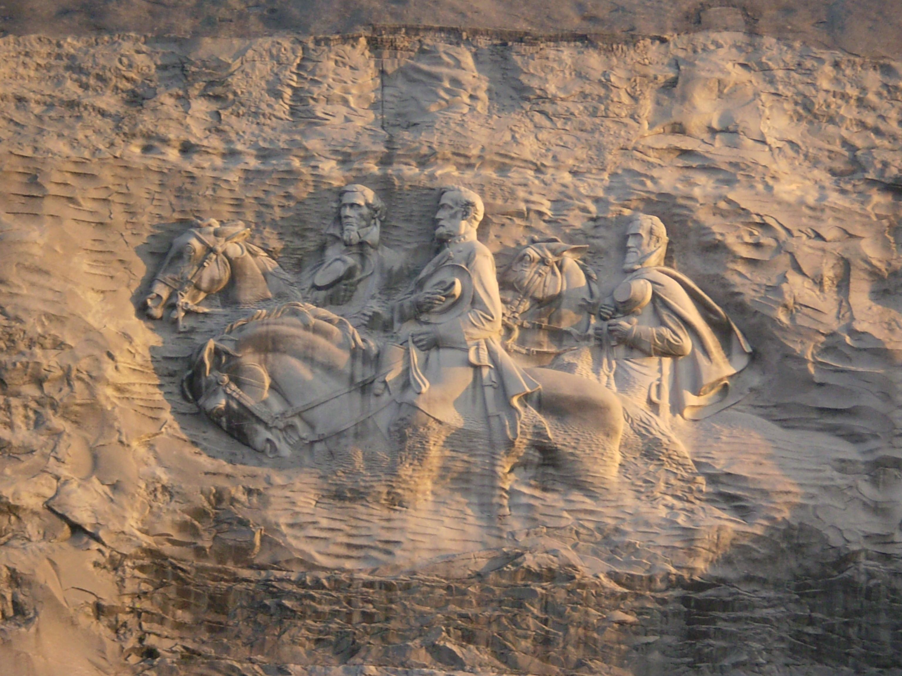
This Georgia region is made up of rolling hills and is home to Stone Mountain and Atlanta
Appalachian Plateau
Piedmont
Coastal Plain
Valley and Ridge
Boundary that separates the Piedmont and the Coastal Plain
Mason-Dixon Line
Appalachian Mts
Barrier Islands
Fall Line
Fresh water wetland in South Georgia that provides habitats for endangered wildlife
Okefenokee Swamp
Alligator Alley
Southern Marsh
Sea Island
Located off the coast of Georgia, they provide protection for the mainland from wind, waves, and storms
Continental Shelf
Barrier Islands
Okefenokee Swamp
Gulf Stream
Continent on which Georgia is located
South America
North America
Latin America
Native America
A major river in Georgia beginning in the Blue Ridge region (NE Georgia) and flowing through Atlanta, finally forming the border between Alabama and Georgia
Chattahoochee River
Savannah River
Altamaha River
Oconee River
A major river in Georgia that serves as the Georgia-South Carolina border, is important to shipping, and along which the first English settlements in Georgia were established
Oconee River
Mississippi River
Savannah River
Alcovy River
Mountain range beginning in North Georgia and stretching all the way North to the Canadian border
Canadian Shield
Appalachian Mts
Rocky Mts
Andes Mts
Georgia city owing much of its economic success to its location along the Atlantic Ocean
Bainbridge
Atlanta
Savannah
Columbus
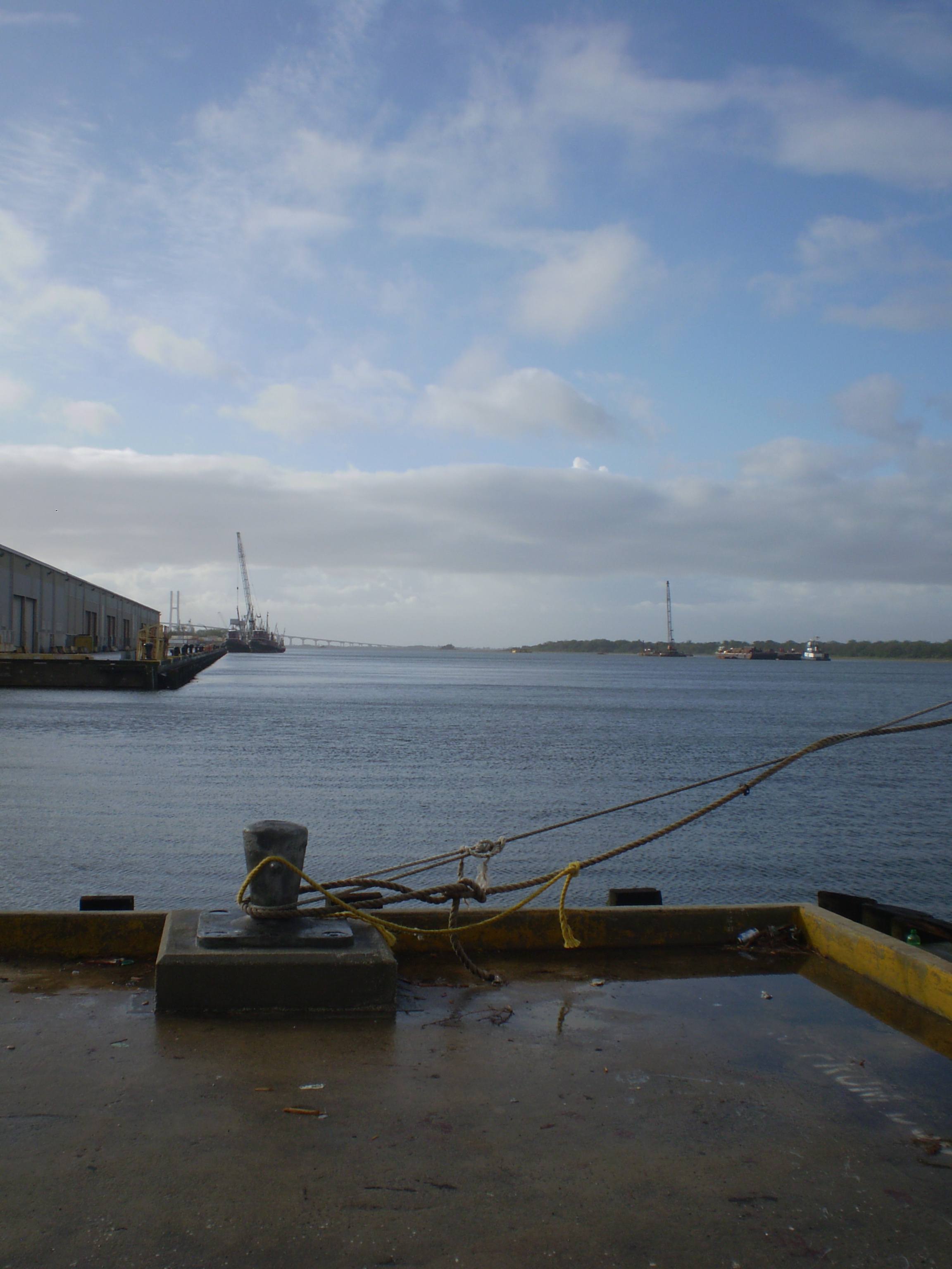
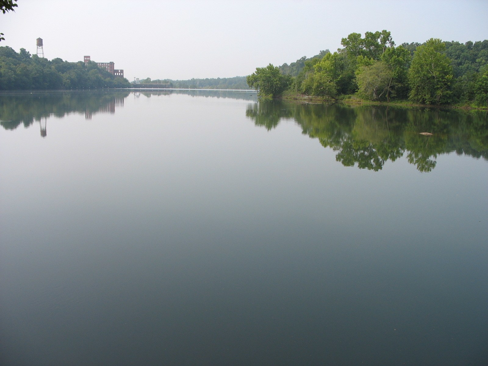
The Chattahoochee River starts in the Blue Ridge Region and travels through the Piedmont to the border of
Alabama and Georgia
Georgia and Florida
Tennessee and Florida
Florida and Alabama
The Appalachian Trail is located in the ____________ Region of Georgia
Appalachian Plateau
Blue Ridge
Valley and Ridge
Piedmont
The Georgia Barrier Islands protect the mainland of Georgia from
Hurricanes and Tornadoes
Storms and Erosion
Ice and Rain
Pirates
__________________________is classified as a wetland and designated as a National Wildlife Refuge and National Wilderness Area.
Savannah River
Chattahoochee River
Okefenokee Swamp
West Point Lake
The _______________________ in the state of Georgia is the boundary/divide between the Piedmont and Coastal Plain Regions.
Line of Dem
45th Parallel
Fall Line
DMZ
Which river in Georgia is primarily used for transportation and hydroelectricity?
Savannah
Suwanee
Chattahoochee
St. Mary
Which river in Georgia is primarily used for drinking water & recreation?
Suwanee
Savannah
St. Mary
Chattahoochee
Which Georgia physical feature is known as the "Land of the Trembling Earth"?
Okefenokee Swamp
Appalachian Plateau
Appalachian Mountains
Stone Mountain

