
 Worksheets
Latin America Map Review
Total questions: 46
Worksheet time: 38mins
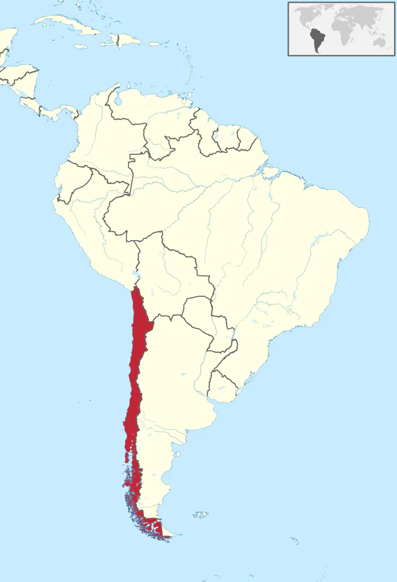
Chile
Bolivia
Argentina
Uruguay
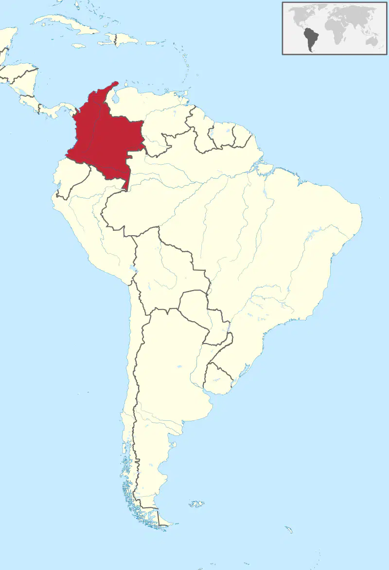
Colombia
Venezuela
Paraguay
Honduras

What is the country in red?
Peru
Brazil
Suriname
Venezuela

What is the country in red?
Brazil
Spain
Ecuador
Argentina

What is the country in red?
Ecuador
Chile
Argentina
Paraguay

What is the country in red?
Paraguay
Colombia
French Guiana
Peru

What is the country in red?
Haiti
Suriname
Brazil
Peru

What is the country in red?
Paraguay
Uruguay
Bolivia
Venezuela

What is the country in red?
Ecuador
Guyana
Argentina
Belize
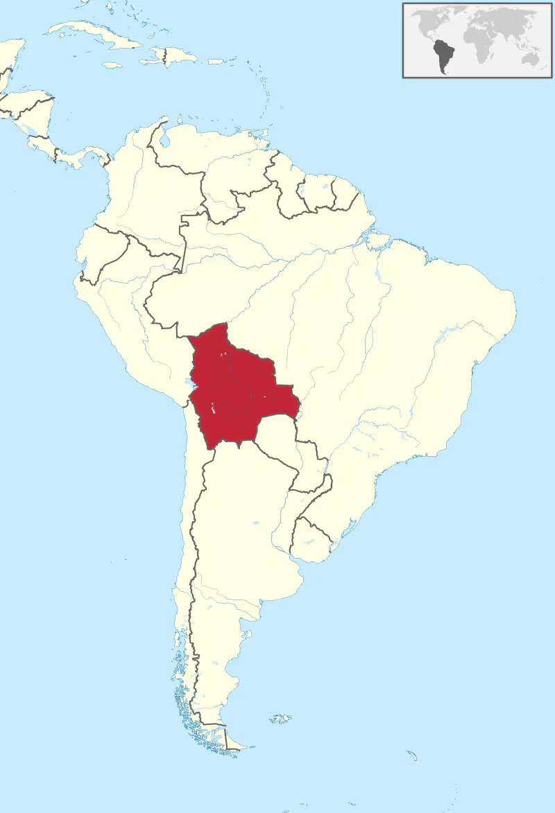
What is the country in red?
Chile
French Guiana
Brazil
Bolivia

Name this country
Mexico
Cuba
Puerto Rico
Costa Rica

Name this country
Guatemala
Cuba
Mexico
Costa Rica

Name this country
Honduras
Bahamas
Nicaragua
Dominican Republic

Name this country
Nicaragua
Panama
Honduras
Dominican Republic
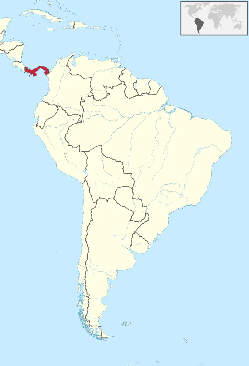
Name this country
Panama
Mexico
Nicaragua
Dominican Republic

Name this country
Cuba
Bahamas
Haiti
Dominican Republic

Name this country
Dominican Republic
Puerto Rico
Haiti
Cuba
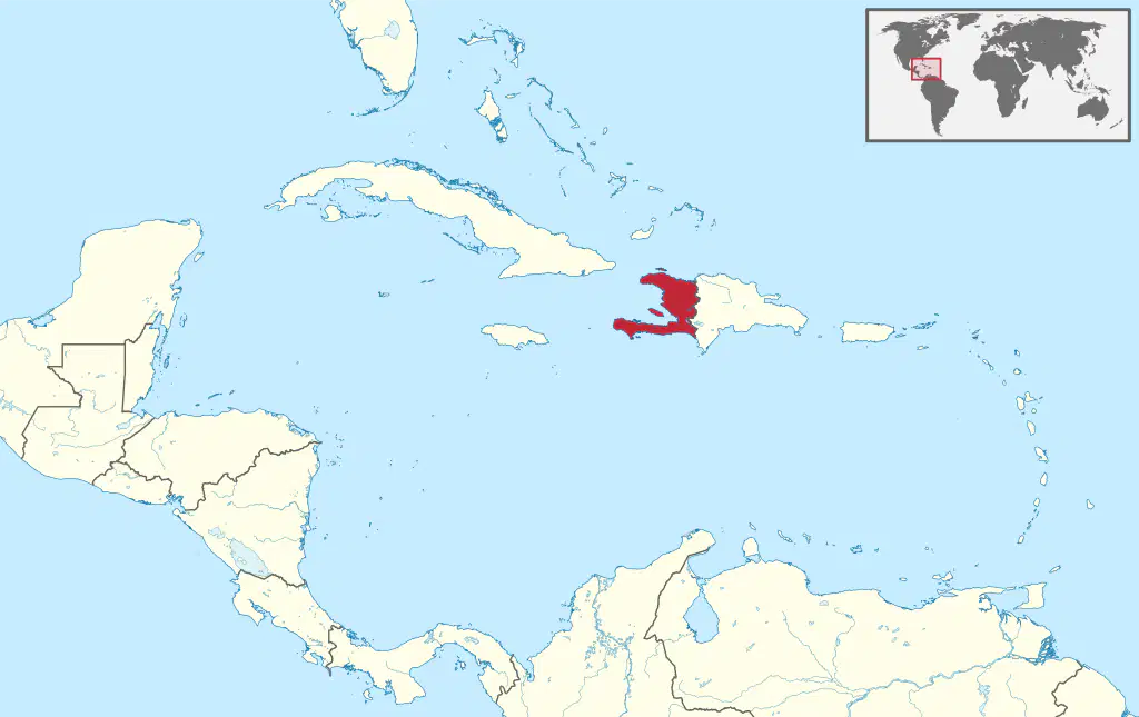
Name this country
Haiti
Puerto Rico
Dominican Republic
Cuba


Which number marks the approximate location of the Amazon Rainforest?
1
2
3
4


Which mountain range located in Mexico?
Sierra Madre Mountains
The Pyrenees Mountains
The Ural Mountains
The Andes Mountains
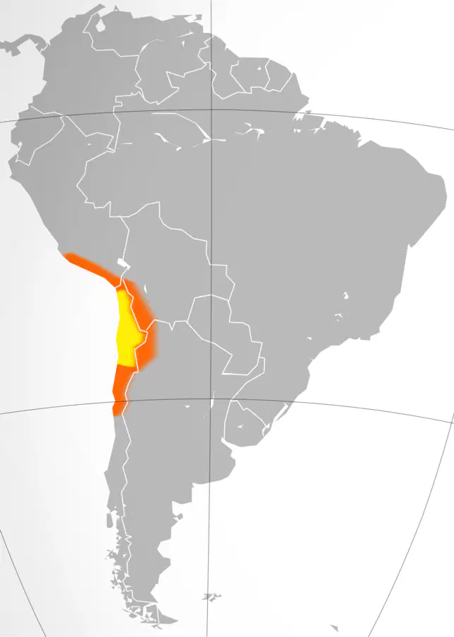
Which physical feature is located in Chile between the Pacific Ocean and the Andes Mountains?
The Amazon Rainforest
The Atacama Desert
The Panama Canal
The VIctorian Desert

Identify the physical feature the yellow box is circling.
Amazon River
Gulf of Mexico
Atlantic Ocean
Caribbean Sea

What is this landform located in Mexico?
Sierra Madres

The southernmost point of land on the continent of South America
Cape Horn
Strait of Magellan
Patagonia
Falklands

What Is The Yellow Box Surrounding?
Caribbean Sea
Amazon River
Atlantic Ocean
Pacific Ocean

Identify the narrow body of water that separates Tierra del Fuego from mainland South America.
The Strait of Magellan
The Andes Mountains
The Atacama Desert
The Amazon Rainforest

Which 2 oceans does the Panama Canal connect, creating a short cut for transportation routes and saving travel costs for all countries around the world?
Pacific and Atlantic
Atlantic and Indian
Pacfic and Indian
Arctic and Pacific

Using the map answer the following question. In what part of South America is the Tropical Rain Forest found?
Southern part of South America
Western part of South America
Eastern part of South America
Northern part of South America


Which North American country is this?
Costa Rica
Panama
Guatemala
Belize

Which North American country is this?
Belize
El Salvador
Guatemala
Panama

Name this country
Costa Rica
Panama
Nicaragua
Dominican Republic
Click on CARACAS, the capital of Venezuela.
Click on BOGOTA, the capital of Colombia.
Click on QUITO, the capital of Ecuador.
Click on LIMA, the capital of Peru.
Click on SUCRE, the capital of Bolivia.
Click on BRASÍLIA, the capital of Brazil.
Click on SANTIAGO, the capital of Chile.
Click on BUENOS AIRES, the capital of Argentina.
Click on MEXICO CITY, the capital of Mexico.
Click on HAVANA, the capital of Cuba.
Label the following physical features.

