
 Worksheets
Practice Geo-Final (40?s need cut)
Total questions: 81
Worksheet time: 52mins
The earth's crust, excluding bodies of water, is called what?
lithosphere
hydrosphere
biosphere
atmosphere
The bodies of water on the earth's surface are called what?
hydrosphere
lithosphere
atmosphere
biosphere
Chemical of physical process that breaks down rocks into smaller pieces is called?
erosion
plate tectonics
weathering
deposition
The wearing away of soil by water, glaciers, and wind is called what?
deposition
weathering
plate tectonics
erosion
The structure of the earth's crust, mountains, volcanoes, and rifts are caused by what phenomenon?
weathering
plate tectonics
erosion
deposition
What part of the rain cycle describes the formation of clouds?
evaporation
condensation
transpiration
precipitation
What part of the rain cycle describes the return of water back to the earth?
evaporation
transpiration
precipitation
condensation
What are weather patterns typical over a long period of time called?
weather
climate
biome
environment
What is cultural diffusion?
spreading of a cultural element to a different group
the coming together of two cultures and religion groups
spreading of religious gospels
sharing elements of one cultural group with members of your family
What major river flows some 2,350 miles (3,782 km) from its source in Minnesota to the Gulf of Mexico, making it an important route for trade?
the Colorado River
the Allegheny River
the St. Lawrence River
the Mississippi River
How did the Great Lakes form?
by the collision of tectonic plates
by runoff from the Appalachian Mountains
by water rising from underground springs
by glacier basins filling with water
Steep-walled inlets, reaching like fingers of water from the sea into coastal mountains, are called
fjords.
hot springs.
glaciers.
geysers.
The remaining forest in Northern Europe that has not been deforested is the ________, or taiga, of Scandinavia and Russia.
peat bog
wetland
ecosystem
boreal forest
The major mountain chains of Southern Europe include the
Apennines, Adriatic, and Ionian.
Alps, Pyrenees, and Apennines.
Black, Pyrenees, and Alpines.
Tiber, Po, and Mediterranean.
The economy of Libya is based on
oil.
tourism.
the service industry.
agriculture.
Two deserts of the Eastern Mediterranean include
Euphrates and Jordan.
Dead and Anti-Lebanon.
Negev and Syrian.
Golan and Galilee.
The most important resources on the Arabian Peninsula are
freshwater and gold.
gold and diamonds.
oil and freshwater.
diamonds and oil.
The Tigris and Euphrates rivers gradually converge in _______, almost touching near Baghdad.
the Taurus Mountains
Turkey
Iraq
Iran
Lake _______, located along the Great Rift Valley, is the second-largest freshwater lake in the world.
Victoria
Tanganyika
Congo
Turkana
Desertification is
the natural expansion of the Sahara.
caused by both human activities and variations in climate.
caused primarily by climate change.
easy to manage and reverse.
What is map scale?
distance between objects or places on a map
distance between landmasses and water on a map
distance between latitude and longitude lines on a map
distance on a map in relation to actual distance on Earth
Why is the United States one of the most ethnically diverse countries in the world?
The lands which Europeans colonized contained powerful kingdoms of many nationalities.
The earliest inhabitants arrived some 15,000 years ago.
Over centuries, immigrants have arrived from many different countries.
The British founded the thirteen colonies along the Atlantic coast.
Because Earth is tilted on its axis,
ocean currents move in predictable patterns.
the seasons occur at the same time in all parts of the world.
different places on Earth receive different amounts of sunlight.
it is never dark at the North and South Poles.
Longitude lines indicate
distance north and south of the Equator
distance north and south of the Prime Meridian.
distances east and west of the Equator.
distances east and west of the Prime Meridian.
This ancient civilization was located in Peru, created a huge empire, and built roads and bridges that linked their empire
Mayans
Aztecs
Incas
Toltecs
One of the most important geographical features in South America stretches 4,500 miles along the west coast
Amazon Rainforest
Amazon River
Atacama Desert
Andes Mountains
Which river’s basin is home to the world’s largest rain forest?
The Amazon
The Rio de la Plata
The Parana
The Uruguay
A rift valley is formed by
erosion by rivers.
the separation of tectonic plates.
unique conditions posed by the absence of fault lines.
erosion following deforestation and desertification.
Which two European groups were the first to colonize South America?
British and Portuguese
British and Spanish
Spanish and Portuguese
French and Spanish


The _______ stretch more than 3,000 miles from New Mexico to Alaska.
Appalachian Mountains
Rocky Mountains
Pacific Ranges
Great Plains
________ refers to the movement of people from rural areas to cities.
Suburbanization
Modernization
Destabilization
Urbanization
What is the world's tallest mountain?
Mt. Everest
Mt. McKinley
Andes Mountains
Rocky Mountains

What country is this?
Russia
Korea
India
Japan
Which mountain range borders India in the North?
Rocky Mountains
Himalaya Mountains
Ural Mountains

How were the great lakes formed?
They are the remains of the bathwater of dinosaurs.
They were formed due to cracks in the earth.
They were formed from the remains of glaciers from the last ice age.
They were formed as a result of global warming.

Which number on the map indicates the location of South Africa?
1
2
3
4
What is the trapping of heat close to the earth because of an increase of certain gases in the atmosphere?
elevation
greenhouse effect
topography
convection
A version of a language that includes changes related to class, region, or other cultural changes is called…
a dialect.
a diatribe.
an acculturation.
a migration
Which of the following statements accurately describes the relationship between the Tropic of Cancer and the Tropic of Capricorn?
The Tropic of Cancer is north of the Tropic of Capricorn
The Tropic of Cancer is south of the Tropic of Capricorn
The Tropic of Cancer is east of the Tropic of Capricorn
The Tropic of Cancer is west of the Tropic of Capricorn
Which of the following is the definition of standard of living?
a geographical boundary between two different cultures
the level of wealth, goods, and necessities available for people to live
division of the Earth in which people share a similar way of life, including language, religion, economic systems, and values
the expansion of economic, political, and cultural processes to the point that they become global in scale and impact
Tierra helada, tierra fria, tierra templada, and tierra caliente are examples of:
Tropical storms
Regional biomes
Seasonal winds
Vertical climate zones
Who has been forced to live in the West Bank and Gaza strip since the creation of Israel in 1948?
Jews
Christians
Palestinians
Sunni Muslims
What body of water is to the west of the United States?
Pacific Ocean
Atlantic Ocean
Gulf of Mexico
Mediterranean Sea
Which of the following terms refers to a farmer using almost all of the food they produce to feed their own families?
Commercial Farming
Green Revolution
Agrarian Complex
Subsistence Farming

What country is highlighted on the map?
France
The United Kingdom
Spain
Germany
Sudan, Ethiopia, and Somalia are all located on the continent of
Africa
Asia
Europe
South America
The Atlas Mountains are found on which continent?
Europe
Asia
Antarctica
Africa
These 2 countries both have populations of over 1 billion people
Europe & China
China &
United States
Asia & Africa
China & India

What is the country at the center of this picture
China
Afghanistan
India
Russia

What growth rate does this population pyramid represent?
Rapid Growth
Slow Growth
Negative Growth
Zero Growth
The United States is an example of a(n)
developed country
newly industrialized country
developing country
Another term for conflict diamonds is ________ diamonds
war
rebel
strife
blood
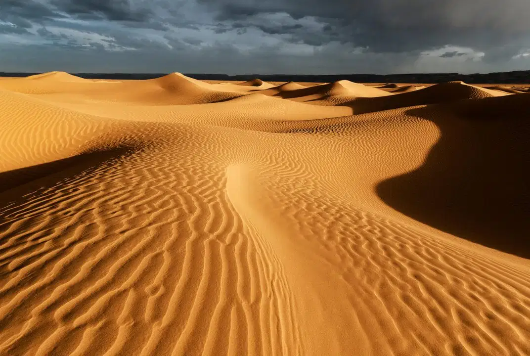
This is the biggest desert in the world, bigger than the continental United States.
Gobi
Atacama
Sahel
Sahara

This was a meeting in which European nations came together to divide Africa between themselves.
Paris Conference
London Conference
Belgium Conference
Berlin Conference


This is home to volcanoes and earthquakes.
Ring of Fire
Juan de Rica Plate
Australian Plate


Which country is highlighted on the map?
Israel
Iraq
Iran
Syria

Which country is highlighted on the map?
Uzbekistan
Nepal
Turkey
Pakistan

Which continent is identified by the red dot?
North America
Europe
Asia
Antarctica

Which continent is identified by the red dot?
South America
Australia
Antarctica
Africa

