
 Worksheets
Geography GrST08
Total questions: 70
Worksheet time: 1hrs 10mins
Line of Longitude
imaginary lines that run vertically on a map or globe. Also called Meridians
imaginary lines that run horizontally on a map or globe. Also called Parallels
A flat diagram of part or all of the earth
A directional symbol that shows which way is north, south, east, and west
Which of the following is the list of the continents?
America, Mexico, Iceland, Greenland, Canada,
Arctic, Antarctic, Atlantic, Pacific, Indian
N. America, S. America, Europe, Africa, Asia, Australia, Antarctica
(a) is the name of the longitude at 0 degrees.
A directional symbol that shows which way is north, south, east, and west is known as a ________ _______.
(a)
A (a) is a flat diagram of part or all of the earth
The Parallel (latitude) that runs at 0 degrees is called the (a)
Mapmakers use (a) to represent the distances between points on a map.
(a) is the study of the world, its people, and the landscapes they create.

Which number is Europe?
3
4
7
5

Which letter is The Arctic Ocean?
A
B
C
D
E

What coordinates are closest to Denver, Colorado?
40N, 105W
35N, 100W
35N, 120W
30N, 90W

What type of plate movement occurs in seafloor spreading?
(a)


Area that shares a large number of cultural traits.
Cultural diffusion/Culture borrowing
Culture Region
Fine Arts
Economy

What is a culture trait?
Items that all social organizations have.
Hair color
Items that are specific to a group of people.
Eye color
Basic human needs such as food, clothing, sports, education, festivals etc. passed down from one generation to the next.
Customs and traditions
Government
Language
Social Organizations
a collection of maps, usually in book form
(a)
a region that is devoid or almost devoid of vegetation, esp because of low rainfall
(a)
a sudden release of energy in the earth's crust or upper mantle, usually caused by movement along a fault plane or by volcanic activity and resulting in the generation of seismic waves which can be destructive
(a)
The process of water's movement from the Earth to the atmosphere and back again is called
Rain
The Water Cycle
Flooding
The Circle of Life

What type of community is shown in the picture?
(a)

Which number is Asia?
(a)
Which letter is The Tropic of Capricorn?
(a)

What country is shown?
(a)

What country is shown?
(a)

What country is shown?
(a)

What country is shown?
(a)

What country is shown?
(a)

What Country is Showen Here?
(a)

What Country Is This?
(a)
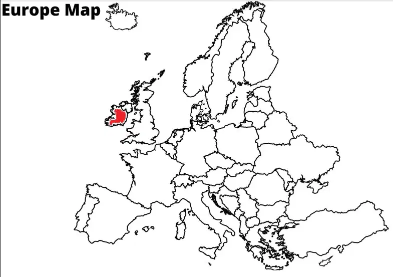
Name the country in red.
(a)
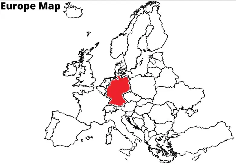
Name the country in red.
(a)
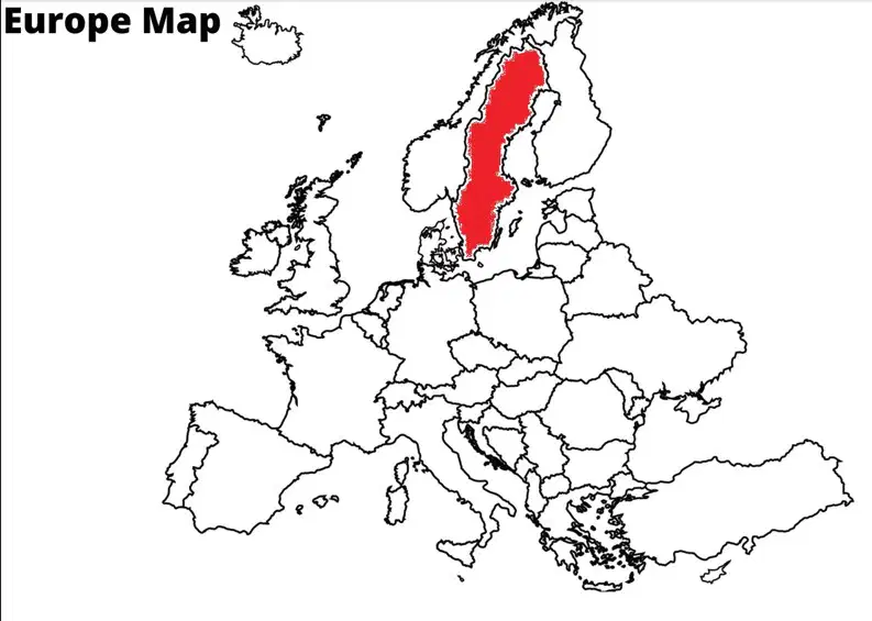
Name the country in red.
(a)
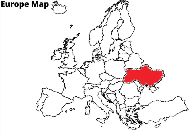
Name the country in red.
(a)
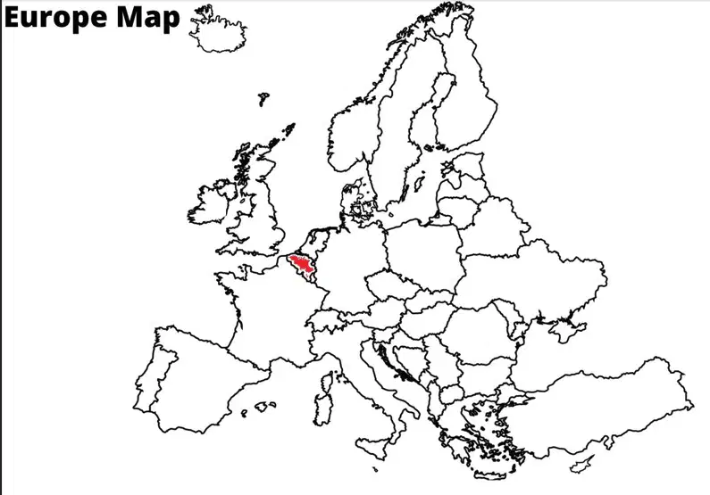
Name the country in red.
(a)
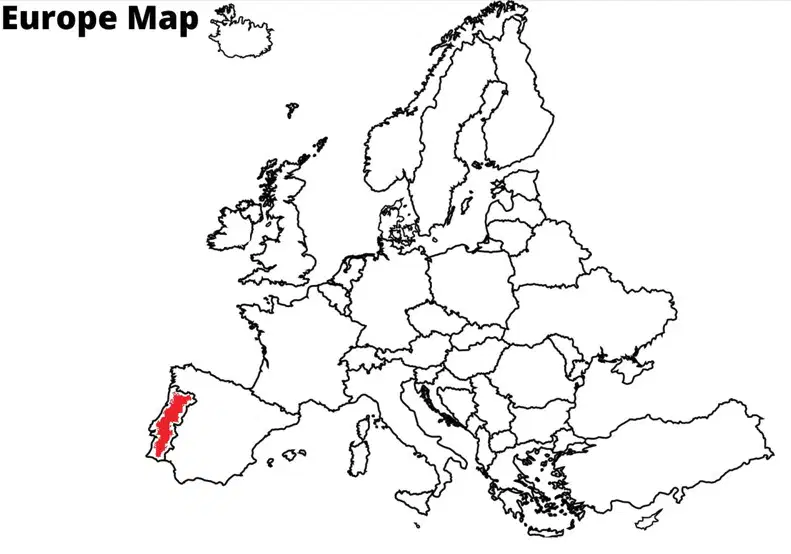
Name the country in red.
(a)
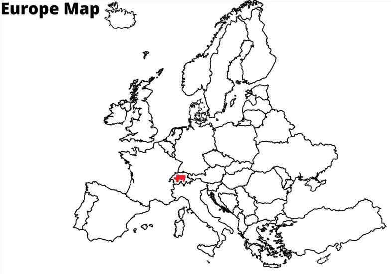
Name the country in red.
(a)
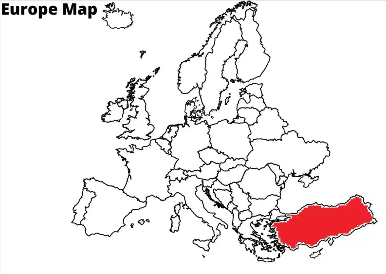
Name the country in red.
(a)
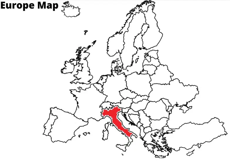
Name the country in red.
(a)
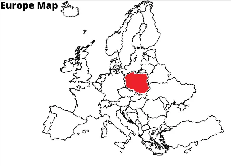
Name the country in red.
(a)

(a)
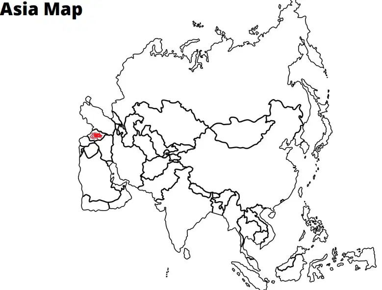
Name the country in red.
(a)
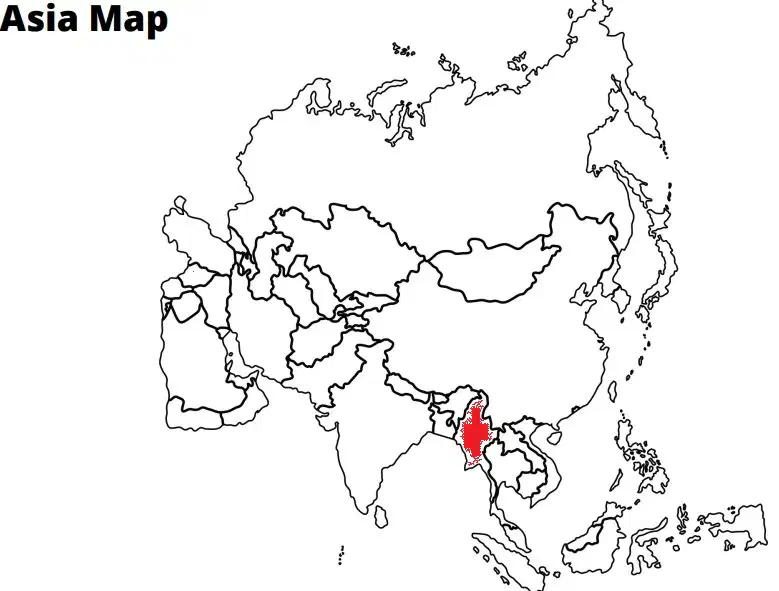
Name the country in red.
(a)
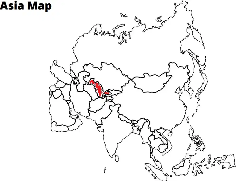
Name the country in red.
(a)
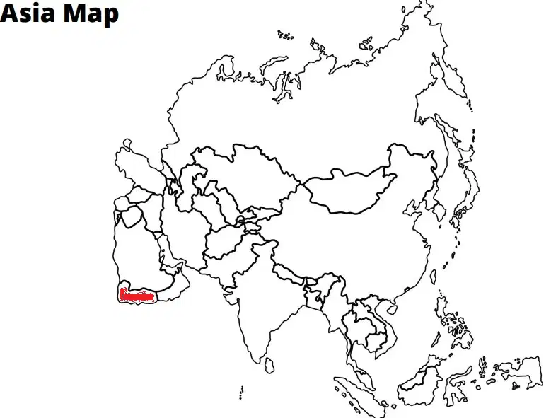
Name the country in red.
(a)
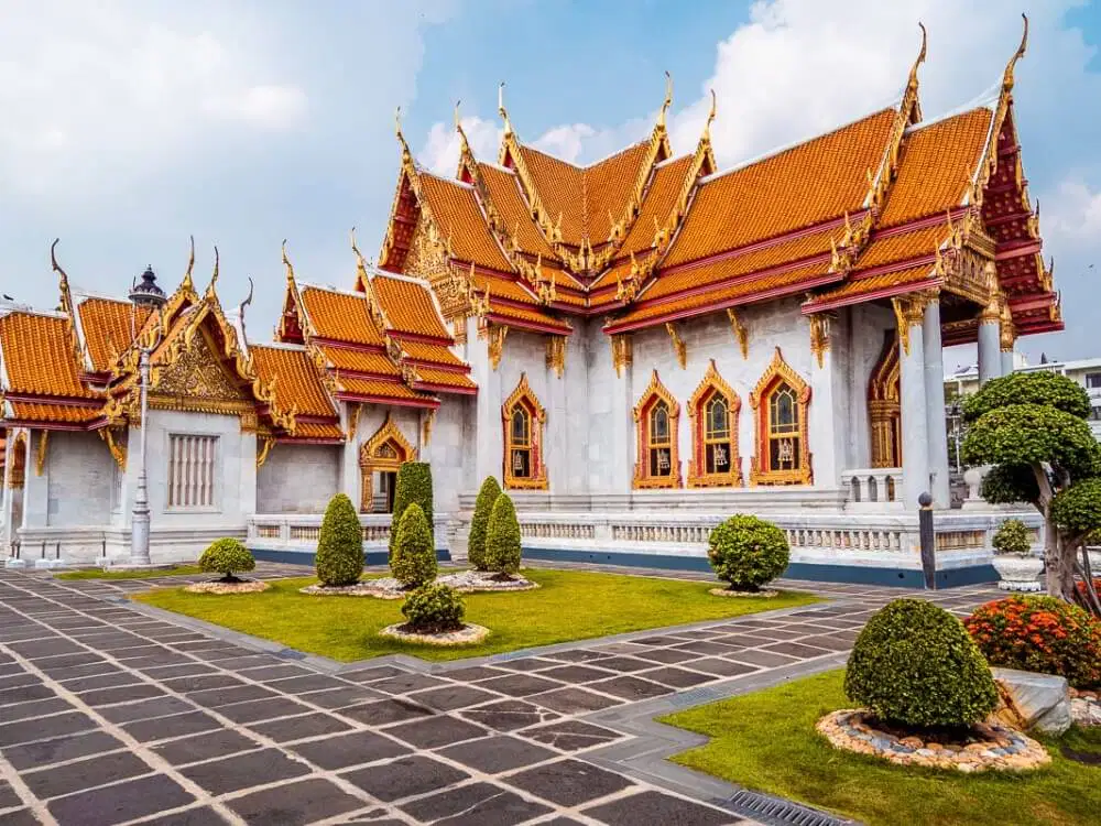
Name the capital of Thailand
(a)

Name the capital of Poland
(a)
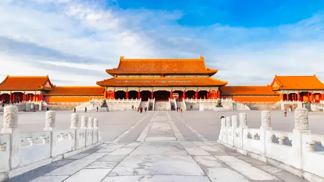
Name the capital of China
(a)
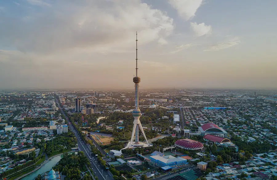
Name the capital of Uzbekistan
(a)

A map of the world is always distorted because earth is a (a) , and reproducing it on a flat surface creates this distortion.
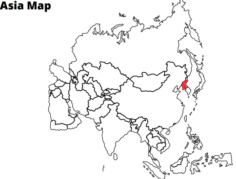
Name the country in red
(a)
1. Which of the following are water problems?
Choose the three correct answers.
Floods
pollution
runoff
drought
conservation
What is it called when the sun heats the ocean and water vapor rises into the air?
(a)
Which of the following is NOT true of an equinox?
The sun shines directly on the equator.
Earth receives the longest amount of sunlight in a single day.
Daytime and nighttime are of equal length.
They occur in autumn and spring.

What layer of the Earth is represented by letter D?
Inner Core
Outer Core
Mantle
Crust
What occurs on June 20 or 21 in the Southern Hemisphere?
summer solstice
autumn equinox
spring equinox
winter solstice

What layer of the Earth does letter C represent?
Crust
Outer Core
Mantle
Crust
Which of the following is NOT a common source of surface water?
lakes
rivers
streems
gulfs/oceans
Mesopotamians were able to spread the work among the people and do more. Some were farmers, craftsmen, government officials, priests, laborers, etc. . This is
organization
division of labor
king's orders
Heaven's Mandate

a drawing on a map that shows directions is a (a)

What is the area where the water meets the land called?
Coast
Island
Plain
Desert
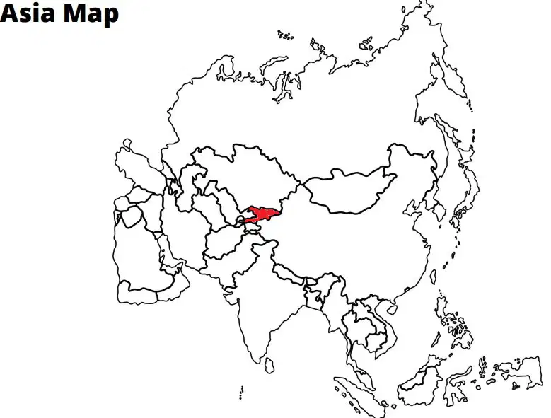
Name the country in red.
(a)
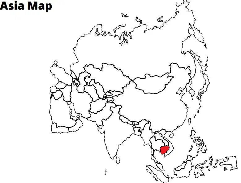
Name the country in red
(a)

Name the country in red
(a)
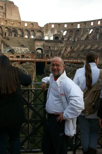
Your geography teacher is in which famous Italian landmark in Rome in the picture you see.
(a)
What three actions cause erosion?
Wind
Water
Ice
Weathering

According to Wegener's hypothesis of continental drift,
Earth's surface is made up of seven major landmasses
the continents DO NOT move
Earth is slowly cooling and shrinking
the continents were once joined together in a single landmass

A large area of flat unforested grassland in southeastern Europe or Siberia.
steppe
marsh
Great plains
plateau

The Nile has the most notable of this landform, a flat, low-lying land built up from soil carried downstream by a river and deposited at its mouth.
Delta
Gulf
Harbor
Bay

The area between 23 N and 23 S is a region characterized by warm, humid weather and average to heavy rainfall
The Tropics
The Arctic Circle
The Himalayas
The Great Plains

