
 Worksheets
review geo 8
Total questions: 61
Worksheet time: 2hrs 55mins
Indonesia is located between two oceans which are …
Pacific Ocean & Indian Ocean
Atlantic Ocean & Pacific Ocean
Pacific Ocean & Atlantic Ocean
South China Sea & Pacific Ocean
A country which the northern border of Indonesia is ...
Timor Leste
Australia
Malaysia
Borneo
Indonesia is known as … country since most of the Indonesian do planting activities.
A maritime
An agricultural
An archipelago
A developed

The picture shows the result of … activity
An agricultural
Land
fishing
Farming
An activity of breeding and cultivating livestock in order to get the benefits is called ...
Farming
Mining
Fishery
Industry
The activity of selling and buying goods or services for the purpose of gaining profits is called …
Agriculture
Mining
Trading
Industry
What is the impact that Indonesia lying in the Equator
it has four seasons
it has two seasons
humanities 20 %
more dry season than wet season
Indonesian is an archipelago because it has lots of . . .
islands
provinces
people
flora & fauna
The largest religion in Indonesia is . . .
Christianity
Hinduism
Islam
Buddhism
Indonesia has many volcanoes because it is located in the area that called...
Ring of fire
Ring of elysium
Ring of Brodgar
Ring of power
Indonesia is part of ...
Europe
South East Asia
India
Africa

What is geography?
the study of Earth
the study of fossils
the study of people
the study of history

What continent is colored in yellow in the picture?
South America
Asia
Europe
Africa
Tsunami is caused due to: (There can be more than 1 option)
Underwater earthquake
Volcanic eruption
Flood
Forest fire
Indonesia has ....time zones differences
3
4
5
6
Indonesia located in the"ring of fire" what's the effect of this?
make Indonesia as one of tropical Island
Indonesia has 2 season
many active volcanoes
Indonesia has beautiful scenary
What is the correct fact about Latitude and Longitude?
Latitude is imaginary vertical lines accross the globe while longitude vertical
0 degrees of latitude is the equator while for longitude is Prime Meridian
Latitude is long, while longitude is short
Latitude has 360 meridians while longitude has 180 parallels
What is astronomic position of Indonesia?
6°N-11°S and 95°-141°E
6°N-11°N and 95°-141°E
11°N-6°N and 95°-141°E
11°N-6°S and 95°-141°E
Why does Indonesia have 3 Time Zones?
Because Indonesia needs to have it that way
Because Indonesia region's length covers more than 46o long of the longitude while 15o means 1 hour, so Indonesia has 3 different hour at once
Because Indonesia government follows the Dutch Indie policy
Because sun rises from the west of Indonesia






If you started travel by plane to Surabaya from Denpasar at 08.00 WITA and it took an hour to get there. What time will you arrive in Surabaya?
08.00 WIB
09.00 WIB
07.00 WIB
10.00 WIB
Sierra made a call to her friend, Junior, who live in Rio de Janeiro, Brazil from Jakarta at 10.00 WIB in the morning, but he did not pick up. What might be the reason?
Junior was on the gym because it was his afternoon routine
Junior was at school, it was 11.00 a.m there
Junior was sleeping because it was about midnight at that time
Junior was jogging, the sun just rises there
Astronomical location is a location based on latitude and longitude. In addition to indicating the location of a region, latitude can also indicate differences in .......
climate
Weather
boundary
landscape

Which province is included in WITA?
Central Kalimantan
North Maluku
West Nusa Tenggara
Central Java
Geographically, Indonesia's location is strategic, which has a positive impact on Indonesia, namely .......
Indonesia becomes a route for world shipping and trade traffic
Indonesia receives foreign cultural influences that are not in line with Indonesian culture
the division of 3 time zones in Indonesia
Indonesia is spared from earthquake danger

Observe the image. The west monsoon wind causes Indonesia to experience ......
rain
dry season
snow
transition
Indonesia is located at the convergence of 3 tectonic plates in the world as follows, except ....
plate Eurasia
plate Indo-Australia
plate Pacific
plate Mediterranean

The cross line on the map indicates ...
the geographical location of Indonesia
the astronomical location of Indonesia
the geological location of Indonesia
the climatic location of Indonesia

The image shows that seasons in Indonesia are influenced by the wind of .....
hurricane
tornado
monsoon
beach

According to the map of Indonesia's time zone, the Papua region falls into ....
WITA
WIT
WIB
WIBA

According to the map, Indonesia has a lot of active volcanoes as an impact of its ...
geological location
astronomical location
geographical location
structural patterns
The position of a region as seen from the Earth's surface is called ...
earth location
geographic location
territorial location
astronomical location
Indonesia is located between 2 continents, ... and ...
America and Australia
Asia and Africa
America and Africa
Asia and Australia
Impact of Indonesia's astronomical position, except ...
has a tropical climate
high humility
have 3 time zones
plural society
The western boundary of Indonesia is ...
Indian Ocean
Pacific Ocean
East Malaysia
Timor Leste
What is the eastern boundary of Indonesia?
Indian Ocean
South China Sea
Australia
Pacific Ocean

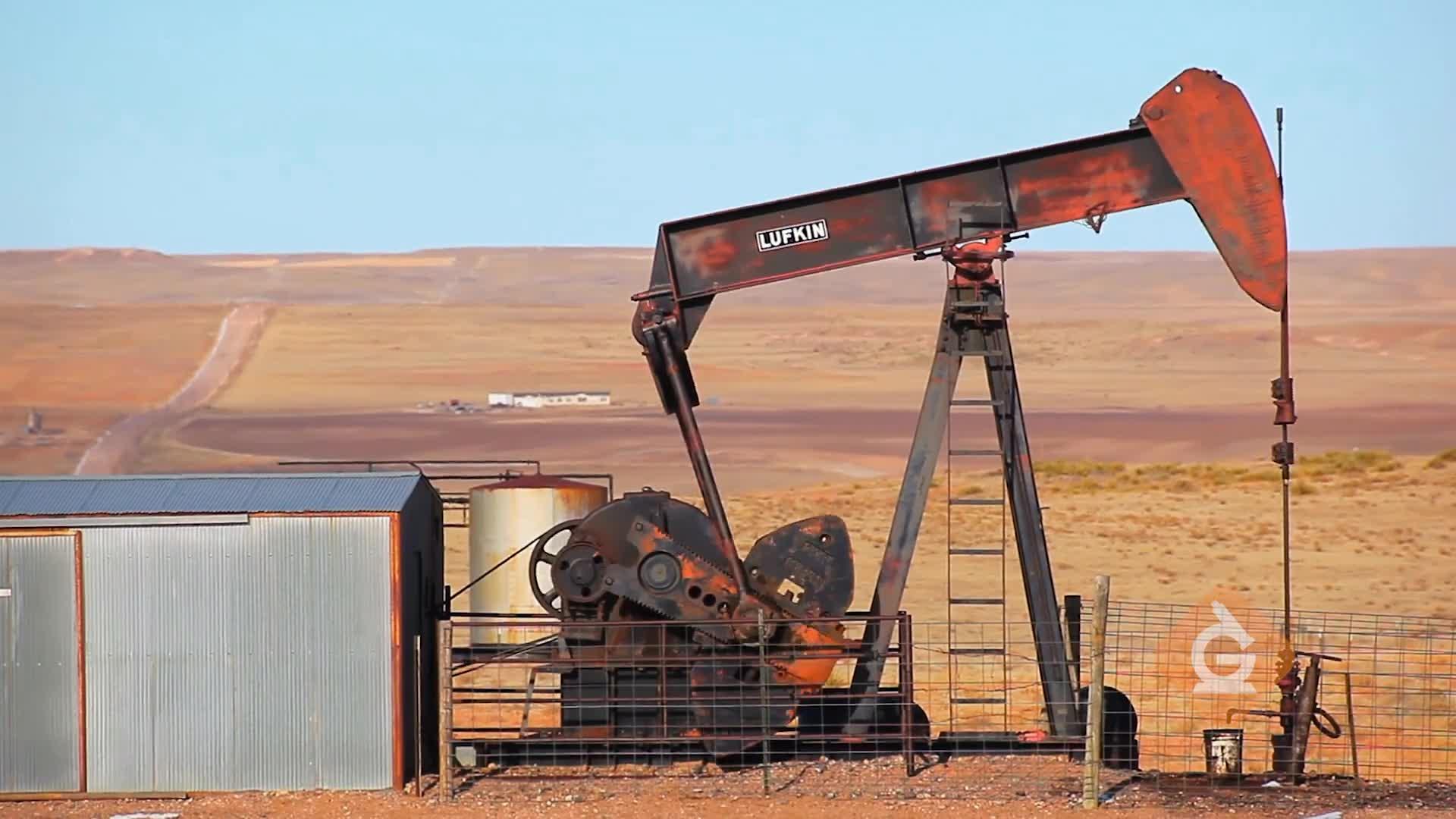
Which are ways we use fossil fuels?
eating and drinking
arts and crafts
paper and building
cars and heat
Resources that are not able to be reproduced as quickly as they are used are called _____.
renewable resources
replaceable resources
non renewable resources
non replaceable resources
Geothermal energy uses heat from ____ to produce electricity.
the earth
coal
oil
natural gas
Renewable resources ...
are not replaceable
are used more frequently than non renewables
are never going to run out
going to run out
What are fossil fuels?
coal, oil, uranium
oil, natural gas, uranium
coal, oil, natural gas
geothemals, coal, natural gas
Which of the following energy sources has the drawback of generating radioactive waste.
fossil fuels
nuclear
geothermal
hydroelectric
Which of the following can be a disadvantage of renewable resources?
They can be intermittent (only available at certain times or in certain places).
They release a lot of CO2 and have a large carbon footprint.
They are renewable and will always be available.
Renewable resources have no disadvantages.

Fossil fuels are considered nonrenewable resources because of -
Where they are found
How they are collected
How useful they are
How long they take to form
Coal is formed from...
The remains of ancient plants from swamps
The remains of ancient ocean life
The remains of dead dinosaurs
Erupting volcanoes
Which of the following is a renewable resource?
coal
animals
oil
diamonds



