
 Worksheets
Unit 1 Practive
Total questions: 50
Worksheet time: 2hrs 48mins

Where is Africa?
Pink
Green
Yellow
Orange
How many continents are there in the world?
3
5
7
9
Where is Australia?
Orange
Yellow
Green
Purple
Where is Asia?
Pink
Green
Blue
Orange
Where is Europe?
Red
Green
Yellow
Orange
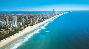


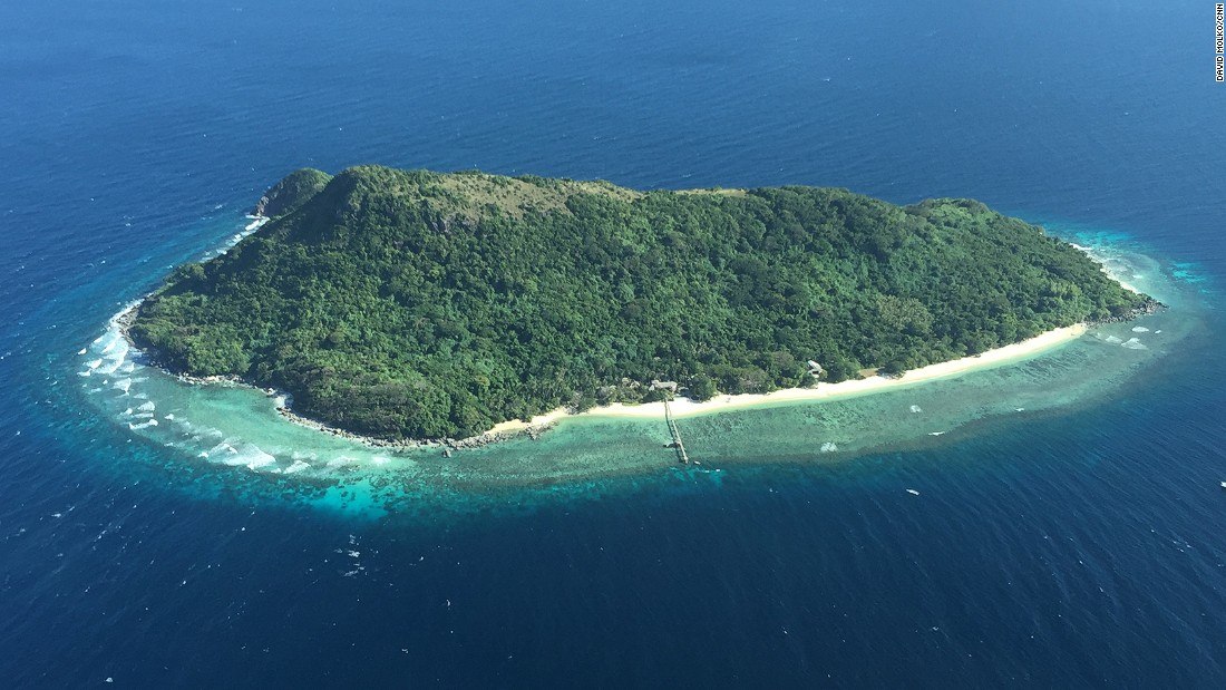

What is the focus of physical geography?
The study of people and their environment
The study of the number of people who live in a place
The earth's land, water, plants, and animals
The comparison of different groups
What does human geography study?
The earth's land, water, plants, and animals
The formation of continents and erosion
How people change and are influenced by their environment
The comparison of different continents

Is the Eiffel Tower an example of human or physical geography?
Human
Physical

Is Mt. Fuji an example of human or physical geography?
Human
Physical

Are the Pyramids of Giza an example of human or physical geography?
Human
Physical
Which is a human feature in New York City?
Hudson River
The Empire State Building
Snow in February
East River
Which is a human feature in New York City?
Hudson River
The Empire State Building
Snow in February
East River

Countries with high levels of literacy and higher education are in which level of economic development?
More Developed
Newly Industrialized
Less Developed

Countries with strong infrastructure [transportation/ communication/ healthcare/ education systems] would be which level of economic development?
More Developed
Newly Industrialized
Less Developed
Country with very low literacy rate, low life expectancy, high unemployment.
Developed
Developing
Least Developed
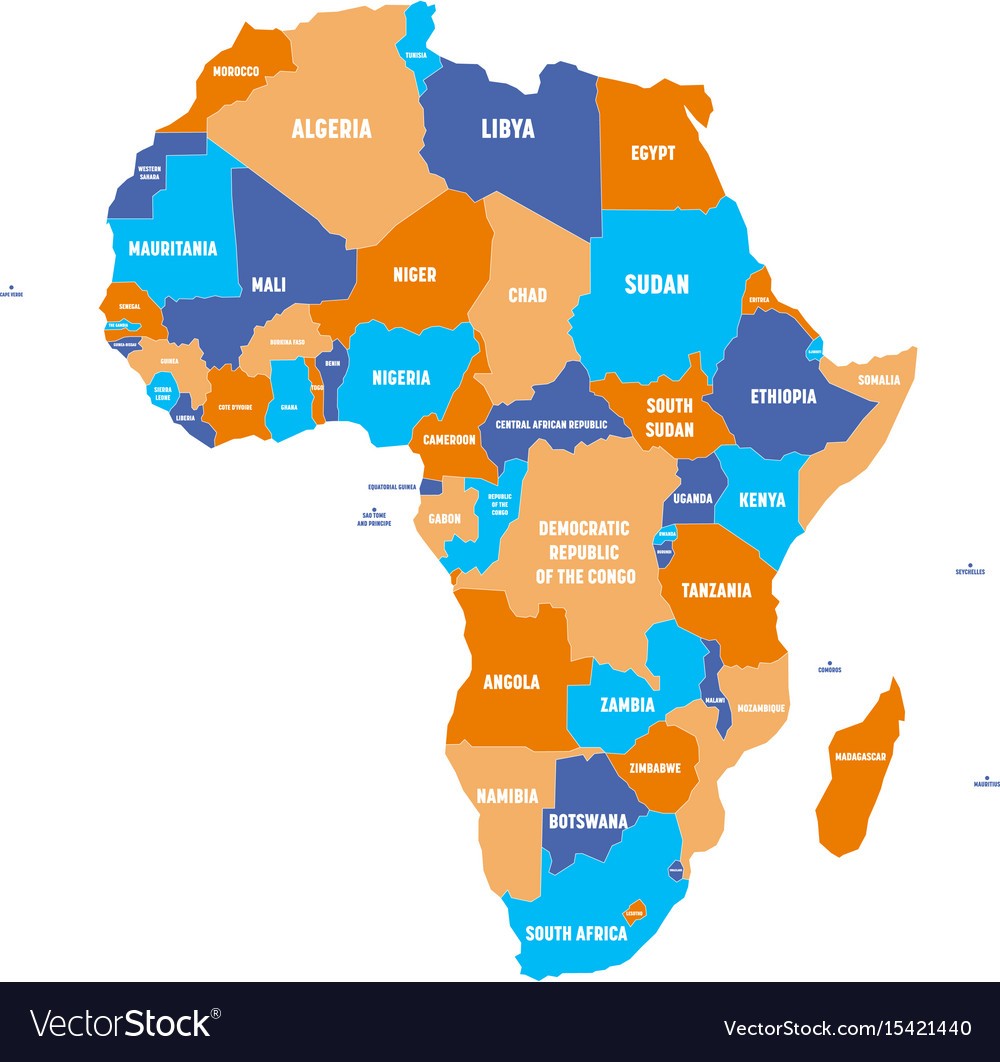
What type of map is this?
climate map
economic resource map
physical map
political map
topographic map

What type of map is this?
climate map
economic resource map
physical map
political map
topographic map
A map showing the climate zones of North America is which type of map?
Political
Physical
Special Purpose
Nothing

This part of a map tells us direction.
Scale
Key/Legend
Title
Compass Rose
This part of a map tells us the subject or content of the map.
Title
Latitude/Longitude Lines
Scale
Date
This part of a map helps us determine distance.
Key/Legend
Compass Rose
Scale
Title
Latitude line are ____________ lines in our global grid system.
Vertical
Horizontal
Curved
Squiggly
Longitude lines are the _________________ lines in our global grid system.
Vertical
Horizontal
Curved
Squiggly
This part of a map tells us what each symbol on the map means.
Compass Rose
Title
Scale
Key/Legend
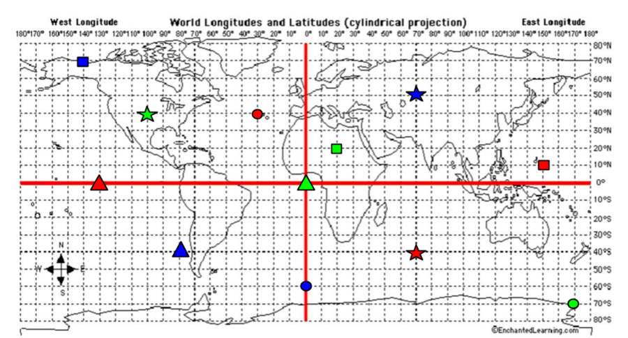
What are the coordinates for the RED star?
40*S, 70*E
40*N, 30*W
0*, 130*W
10*N, 150*E
What are the coordinates for the RED Square?
40*S, 70*E
40*N, 30*W
0*, 130*W
10*N, 150*E

The address, 504 Dunn Ave. is an example of -
Human-Environment Interaction
Location
Region
Movement

When turbines provide energy for people this is an example of -
Location
Place
Region
Human-Environment Interaction

The Pacific Northwest is an example of -
Region
Movement
Human-Environment Interaction
Location

Immigrants going from Europe to North America is an example of -
Location
Movement
Human-Environment Interaction
Region

New York is an example of -
Movement
Place
Human-Environment Interaction
Region


All of the following are nonrenewable resources EXCEPT
coal
animals
petroleum (oil)
natural gas
A resource that is not easily replaced...
Renewable
Nonrenewable
Plants
Animals
Any useful material that is found in nature:
Natural Resource
Human Resource
Plants
Fossil fuels
If a person is describing the daily changes in temperature and precipitation, they are referring to an area's —
Geology
Climate
Geography
Weather
What do tornadoes and hurricanes have in common?
They both form over the ocean.
They both involve strong winds.
They are both types of tropical storms.
They both include funnel-shaped clouds.

Name the natural disaster shown in the image.
earthquake
flood
volcano
avalanche
A period of time where there is little to no rainfall is called
desert
drought
dust
none of the above
Which disaster is caused by movement along fault lines?
earthquakes
volcanoes
floods
tornadoes

