
 Worksheets
Unit 1 - Review Questions
Total questions: 176
Worksheet time: 2hrs 9mins
If you were planning a lesson to help students avoid confusing “Southern State” with “Southern Hemisphere,” which activity would be most effective?
Have students label Georgia on a map showing hemispheres and U.S. regions.
Have students memorize the names of all U.S. states.
Have students write an essay about Georgia’s history.
Have students draw the state flag.
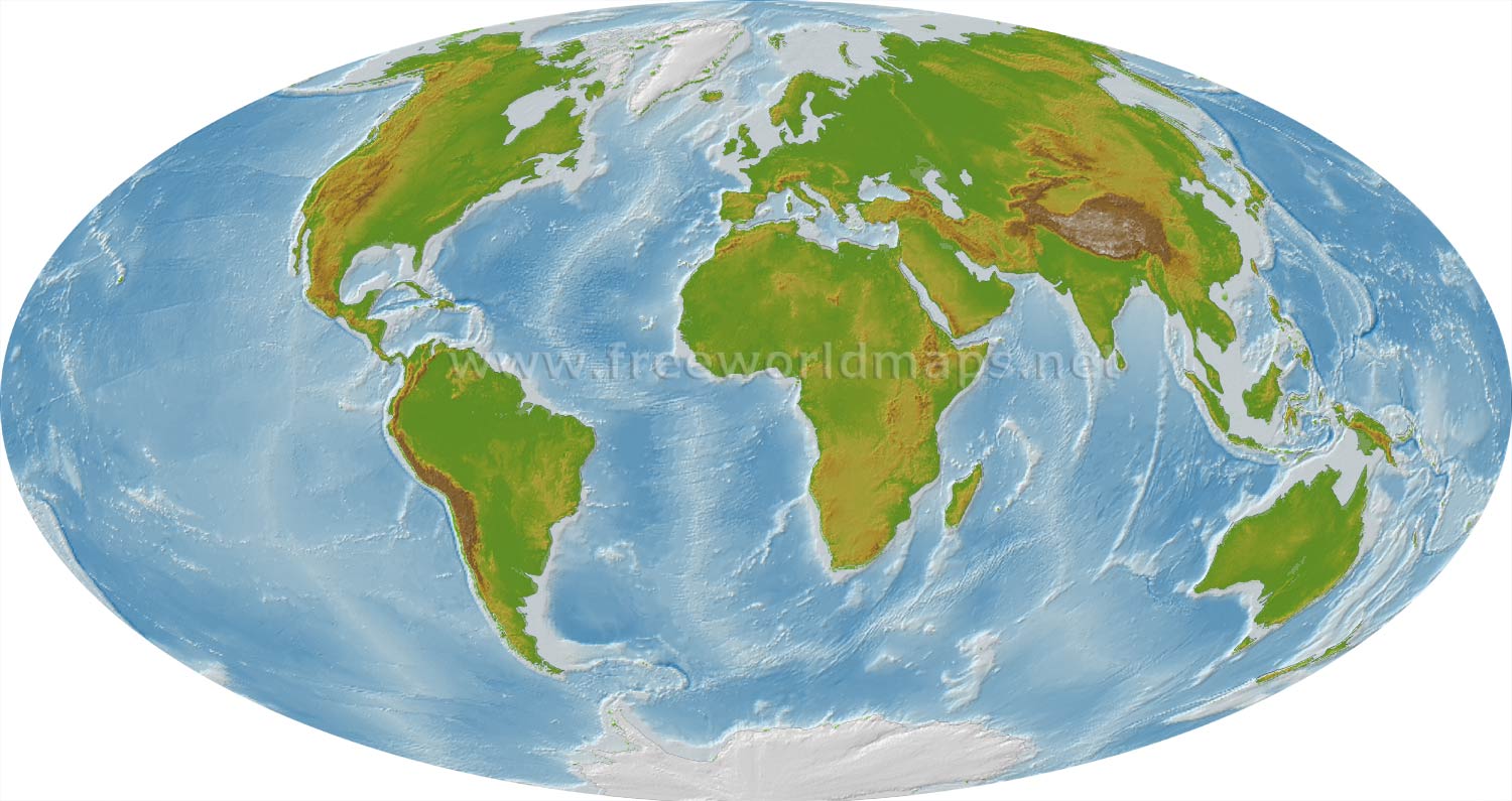
Suppose you are given a map of the world. Which steps would you take to locate Georgia?
Look for the continent of North America, then find the southeastern United States.
Look for the continent of Africa, then find the southern region.
Look for the continent of Asia, then find the eastern region.
Look for the continent of Europe, then find the western region.
A student is confused about Georgia’s location. Which question would help them clarify whether Georgia is in the Northern or Southern Hemisphere?
Is Georgia north or south of the equator?
Is Georgia east or west of the prime meridian?
Is Georgia in the United States?
Is Georgia a coastal state?
How does the term “Southern State” differ from the term “Southern Hemisphere” when describing Georgia?
“Southern State” refers to its position in the U.S., while “Southern Hemisphere” refers to its position relative to the equator.
Both terms mean the same thing.
“Southern State” refers to its climate, while “Southern Hemisphere” refers to its government.
“Southern State” refers to its continent, while “Southern Hemisphere” refers to its region.
If a student says Georgia is in the Southern Hemisphere, which fact would best correct their mistake?
Georgia is located in the southeastern United States.
Georgia is on the continent of North America.
Georgia is north of the equator, placing it in the Northern Hemisphere.
Georgia is west of the prime meridian.
Why might some students mistakenly believe Georgia is in the Southern Hemisphere?
Because Georgia is south of the equator
Because Georgia is often called a “Southern State”
Because Georgia is in South America
Because Georgia is east of the prime meridian
If you were to describe Georgia’s location to someone from another country, which of the following would be most accurate?
Georgia is in the Southern Hemisphere of South America.
Georgia is in the Northern and Western Hemispheres of North America.
Georgia is in the Eastern Hemisphere of Europe.
Georgia is in the Southern Hemisphere of Africa.
Which of the following best describes Georgia’s location within the United States?
Central
Pacific Coast
Southeastern
Northeastern
What is the longitude hemisphere of Georgia?
Northern
Southern
Eastern
Western
What is the latitude hemisphere of Georgia?
Northern
Southern
Eastern
Western
Which of the following is a common misconception about Georgia’s location?
It is in the Northern Hemisphere
It is in the Southern Hemisphere
It is in the Western Hemisphere
It is in North America
Georgia is located in which hemispheres?
Northern and Eastern
Southern and Western
Northern and Western
Southern and Eastern
On which continent is the state of Georgia found?
Europe
Asia
North America
South America
In which region of the United States is Georgia located?
Northwest
Southeast
Southwest
Northeast
What is the primary role of Georgia's transportation systems in the state's economy?
To increase tourism
To reduce pollution
To create job opportunities
To provide entertainment
What percentage of Georgia's total employment is supported by deepwater ports?
12.4%
5.4%
8.4%
10.4%
Which airport is referred to as 'the economic jewel' of Georgia?
Hartsfield-Jackson Atlanta International Airport
Savannah/Hilton Head International Airport
Columbus Metropolitan Airport
Augusta Regional Airport
Which industries in Georgia are completely dependent on the transportation infrastructure network?
Healthcare and Education
Tourism and Retail Sales
Finance and Real Estate
Technology and Energy
Which region is known as the 'TAG corner'?
Coastal Plain
Piedmont
Blue Ridge
Appalachian Plateau
Which region is known as the 'TAG corner'?
Coastal Plain
Piedmont
Blue Ridge
Appalachian Plateau
What is the primary economic contribution of the Appalachian Plateau region?
Gold mining
Textiles and carpets
Poultry processing
Tourism, forestry, & Coal
Which region is referred to as the 'carpet capital of the world'?
Appalachian Plateau
Valley and Ridge
Blue Ridge
Coastal Plain
What is the highest peak in Georgia?
Brasstown Bald
Lookout Mountain
Springer Mountain
Stone Mountain
Which region is characterized by red clay?
Blue Ridge
Appalachian Plateau
Piedmont
Coastal Plain
What is the main agricultural product of the Inner Coastal Plain?
Peanuts
Soybeans
Corn
Apples
Which region is the largest in Georgia?
Appalachian Plateau
Piedmont
Blue Ridge
Coastal Plain
Which region is known for its high precipitation rate?
Appalachian Plateau
Blue Ridge
Piedmont
Coastal Plain
What is the primary economic activity in the Coastal Plain's Outer region?
Gold mining
Coal mining
Textile production
Pine tree harvesting
Which region is home to Georgia's largest cities?
Blue Ridge
Piedmont
Coastal Plain
Appalachian Plateau
What is the main reason for cooler temperatures in the Appalachian Plateau?
Dense forests
Flat terrain
Higher elevation
Proximity to the ocean
Which region is known for its fertile valleys?
Appalachian Plateau
Valley and Ridge
Coastal Plain
Blue Ridge
What is a significant feature of the Piedmont region's rivers?
They are dry most of the year
They flow northward
They are deep and wide
They feature waterfalls or rapids
Which region is the starting point of the Appalachian Trail?
Coastal Plain
Appalachian Plateau
Valley and Ridge
Blue Ridge
What is the main agricultural product of the Blue Ridge region?
Cotton
Peaches
Apples
Soybeans
Which region is known for its tourism related to gold mining?
Coastal Plain
Blue Ridge
Valley and Ridge
Appalachian Plateau
What is the primary economic activity in the Piedmont region?
Fishing
Automobile manufacturing
Textile production
Coal mining
Which region is characterized by long, parallel ridges?
Appalachian Plateau
Valley and Ridge
Blue Ridge
Coastal Plain
What is the main reason for the high precipitation in the Blue Ridge region?
Dense forests
Flat terrain
Proximity to the ocean
High elevation
Which region is known for its commercial fishing industry?
Coastal Plain
Blue Ridge
Valley and Ridge
Appalachian Plateau
What is the main agricultural product of the Piedmont region?
Peanuts
Apples
Poultry/eggs
Cotton
Which region is home to the Okefenokee Swamp?
Valley and Ridge
Blue Ridge
Coastal Plain
Appalachian Plateau
What is the Fall Line?
A mountain range in Georgia
An island off the coast of Georgia
A natural boundary separating the Piedmont and Coastal Plain regions
A river in Georgia
Which city is NOT located on the Fall Line?
Augusta
Columbus
Macon
Savannah
What is the significance of the Okefenokee Swamp?
All of the above
It is a wildlife refuge
It is a major source of timber
It is the largest freshwater swamp in North America
Which American Indian tribe is most famous for living in the Okefenokee Swamp?
Cherokee
Seminole
Choctaw
Creek
What is the highest peak in Georgia?
Mount Yonah
Brasstown Bald
Lookout Mountain
Stone Mountain
Why are the Appalachian Mountains important to Georgia?
They are a source of timber
They affect the formation of Georgia’s major rivers
They are the tallest mountains in the world
They are located in the southern United States
Where does the Chattahoochee River begin?
In the Appalachian Mountains
In the Blue Ridge region
In the Okefenokee Swamp
In the Coastal Plain
What is a major use of the Chattahoochee River today?
Source of gold
Navigation for large ships
Source of drinking water
Source of timber
Which river forms the border between Georgia and South Carolina?
Ocmulgee River
Flint River
Savannah River
Chattahoochee River
What is the primary emphasis of the Okefenokee Swamp today?
Agriculture
Protection of wildlife and habitat
Tourism
Timber production
Which of the following is NOT a Barrier Island off the coast of Georgia?
Jekyll Island
Hilton Head Island
Tybee Island
St. Simons Island
What is the primary economic activity on the Barrier Islands today?
Tourism and recreation
Agriculture
Fishing
Timber production
What is the significance of the Fall Line in Georgia's history?
It was a major agricultural area
It was the last navigable upstream point for settlers
It was the site of major battles
It was a major trade route
Which of the following is a key physical feature of Georgia?
The Mississippi River
The Okefenokee Swamp
The Rocky Mountains
The Great Lakes
What role do the Barrier Islands play in protecting Georgia?
They are a major agricultural area
They are a major source of fresh water
They protect the mainland from wind and water erosion
They provide a habitat for endangered species
Which river is used to cool nuclear power plants in Georgia and South Carolina?
Chattahoochee River
Savannah River
Flint River
Ocmulgee River
What is the historical significance of the Savannah River?
It was the site of a major battle
It was crossed by Hernando De Soto
It was a major source of gold
It was the site of the first European settlement in Georgia
Which of the following is true about the Appalachian Mountains in Georgia?
They are located in the southern United States
They are the tallest mountains in the world
They are a major source of timber
They are called the Blue Ridge due to the blue haze

Match the following colored regions to the 5 Georgia Geographic Regions.
Purple Region
Appalachian Plateau Region
Red Region
Ridge and Valley Region
Blue Region
Blue Ridge Region
Green Region
Piedmont Region
Orange Region
Coastal Plain Region
This Georgia region is made up of rolling hills and is home to Stone Mountain and Atlanta
Appalachian Plateau
Piedmont
Coastal Plain
Valley and Ridge
Which river forms a natural boundary for Georgia?
Chattahoochee River
Mississippi River
Colorado River
Hudson River
What was the first staple crop in Georgia's southeastern Coastal Plains?
Cotton
Corn
Rice
Tobacco
What role did rivers play during the Civil War in Georgia?
They were used for fishing
They determined economic success or failure
They were irrelevant to the war
They were used only for recreational purposes
What is one benefit of man-made lakes in Georgia?
They are used for mining
They increase the state's land area
They serve as natural boundaries
They provide hydroelectricity
What is a current concern regarding water in Georgia?
Lack of recreational facilities
Water scarcity due to drought
Excessive rainfall
Overabundance of rivers
What is one legislative action taken to protect Georgia's waterways?
Banning all fishing activities
Passing laws to protect against pollution
Prohibiting recreational use
Restricting water usage to agriculture only
Select the Chattahoochee River on the map.

Where does the Savannah River begin?
Piedmont Region
Blue Ridge Mountains
Coastal Plains

If you were going to visit the source of the Chattahoochee River, which number would you visit?
1
2
3
4
What are the four transportation systems in Georgia?
Road, air, water, and space
Road, sea, space, and rail
Road, air, space, and rail
Road, air, water, and rail
Which transportation system is essential for Georgia's economic success?
Hartsfield-Jackson International Airport
Deepwater Ports
Interstate Highway System
Railroads
What percentage of Georgia's 2017 fiscal year budget was allocated to transportation systems?
6.6%
8.6%
5.6%
7.6%
Which airport is known as the world's busiest airport located in Georgia?
Hartsfield-Jackson International Airport
Augusta Regional Airport
Savannah/Hilton Head International Airport
Brunswick Golden Isles Airport
What is the primary function of Georgia's transportation systems?
Military transport
Local commuting
Trade
Tourism
Which port handles approximately 80% of the goods entering Georgia via ship?
Port of Bainbridge
Port of Savannah
Port of Columbus
Port of Brunswick
What is the expected value of truck shipments in Georgia by 2040?
$993.6 billion
$900 billion
$800 billion
$1 trillion
Which interstate highways pass near Hartsfield-Jackson Atlanta International Airport?
I-95, I-16
I-20, I-75, I-95
I-75, I-85, I-285
I-16, I-20, I-85
What is the role of the Georgia Foreign Trade Zone located at the airport?
To offer passenger services
To provide parking for cargo trucks
To increase tourism
To streamline low-cost international commerce
What percentage of freight shipments by Georgia businesses are carried via truck?
85%
80%
90%
75%
Which transportation system is described as a 'conduit for 100 million passengers per year'?
Georgia's interstate highways
Savannah's deepwater port
Hartsfield-Jackson International Airport
Georgia's railroads
What is the primary benefit of Georgia's interstate highway system for businesses?
More scenic routes
Reduced fuel costs
Faster shipping times
Increased tourism
Which city is home to Delta Airlines' headquarters?
Savannah
Atlanta
Augusta
Macon
What is the main function of the Perishables Complex at the airport?
To provide passenger amenities
To offer parking for cargo trucks
To expedite inspection of time-sensitive shipments
To store non-perishable goods
Which transportation system in Georgia is ranked #3 in the U.S. for rail accessibility?
Rail
Water
Air
Road
What is the role of the Georgia Ports Authority?
To manage air traffic
To operate and govern Georgia's ports
To oversee highway maintenance
To regulate rail transport
Which transportation system is described as having 'immediate access to interstates I-95 and I-16'?
Port of Brunswick
Port of Savannah
Hartsfield-Jackson International Airport
Georgia's railroads
What is the economic impact of Hartsfield-Jackson Atlanta International Airport on the regional economy?
$15.5 billion per year
$20.5 billion per year
$25.5 billion per year
$23.5 billion per year


What are Georgia's four transportation systems?
The interstate highway system, the railroad, the deepwater ports, the MARTA.
The interstate highway system, Hartsfield Jackson Airport, the railroads, and deepwater ports.
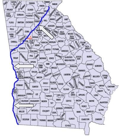

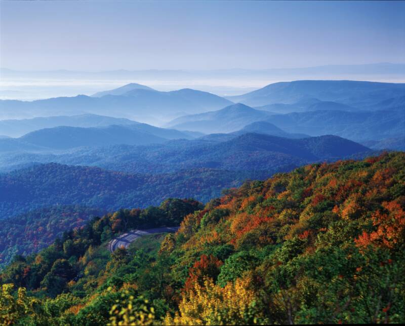
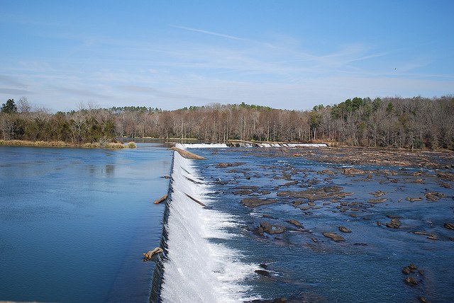
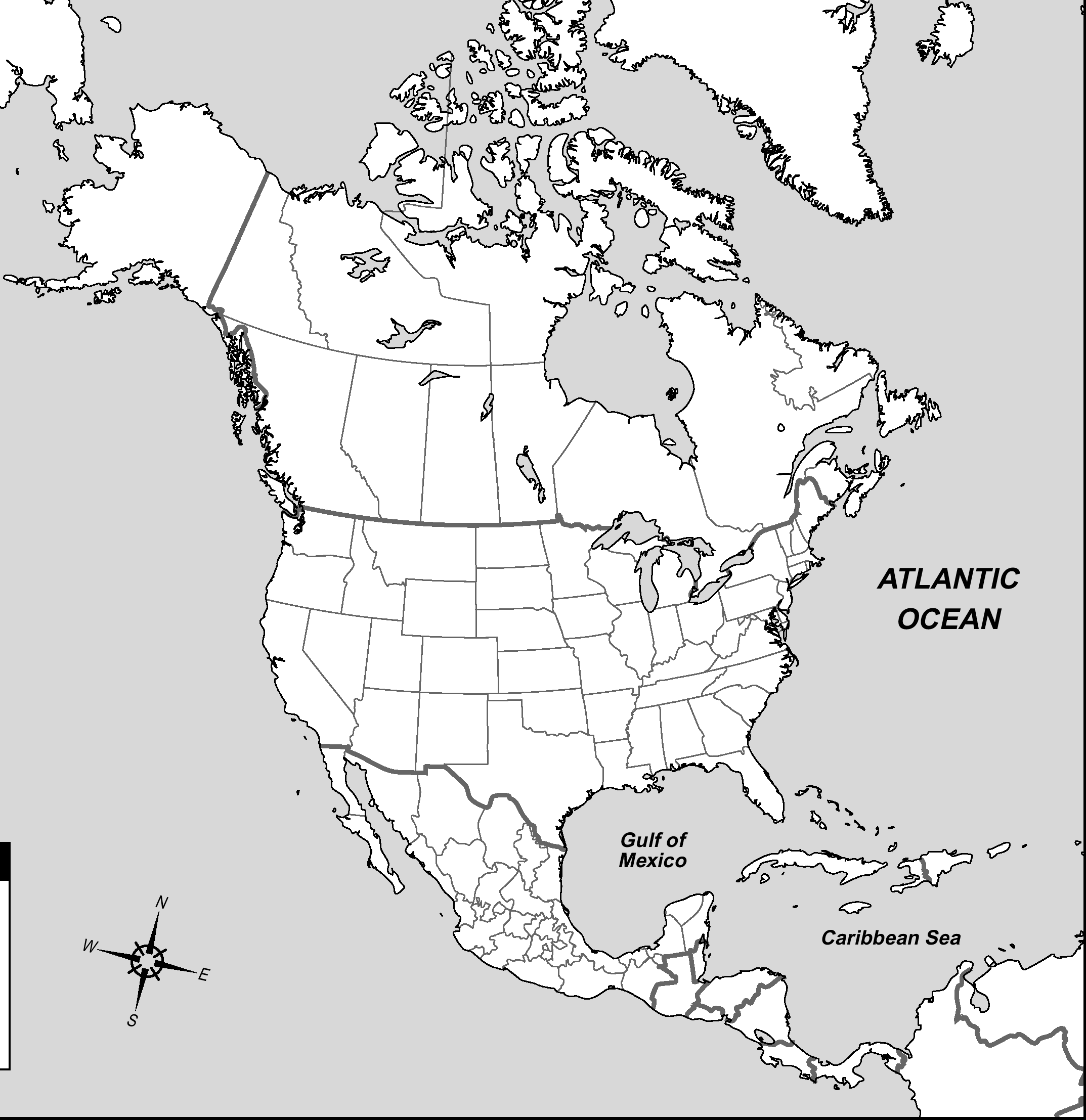
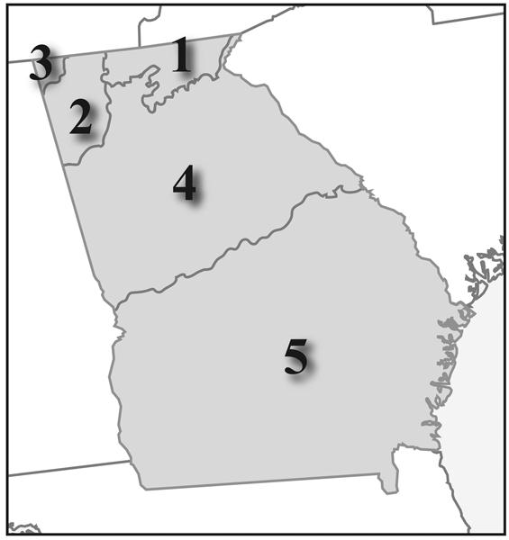
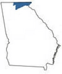
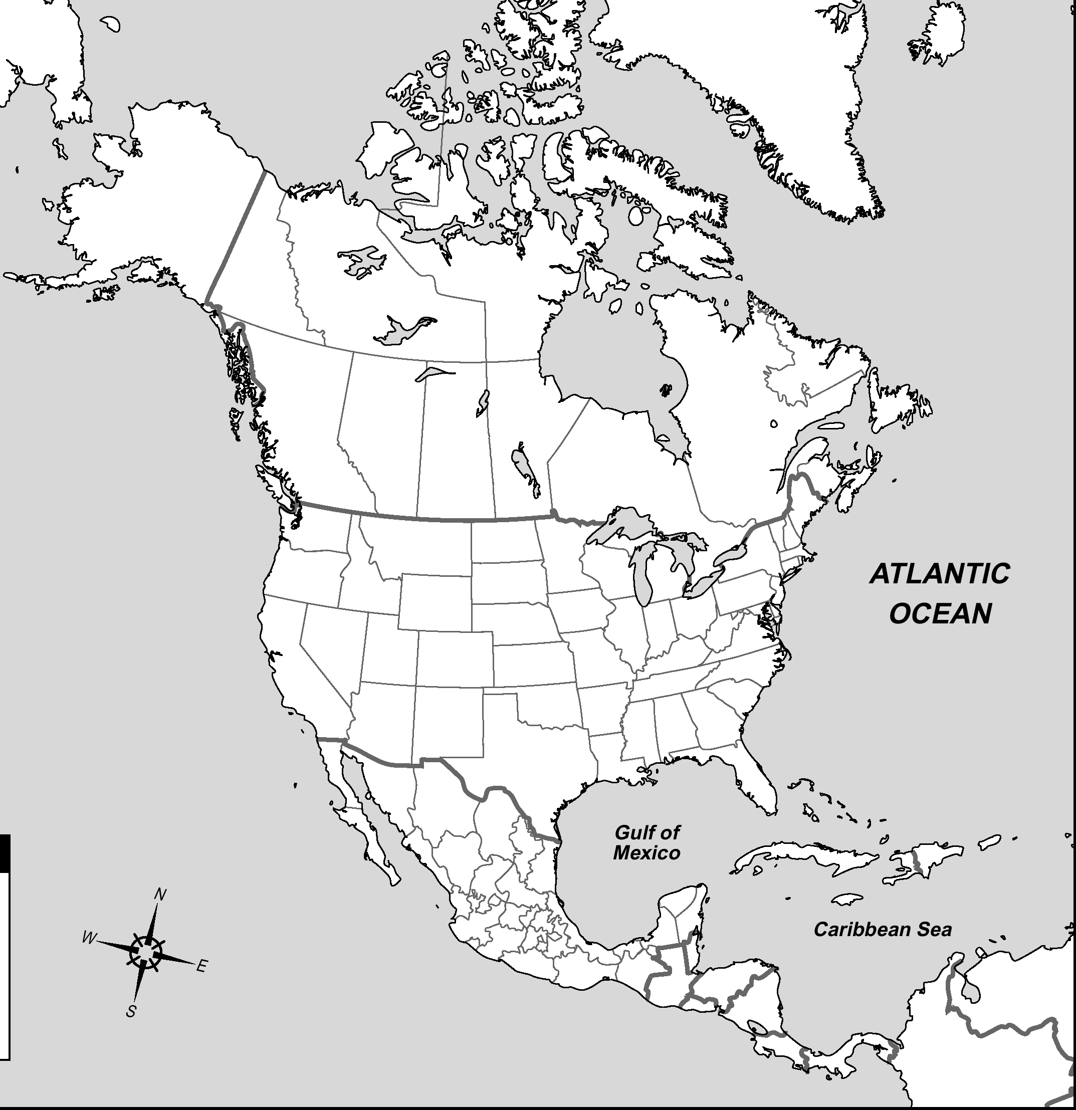
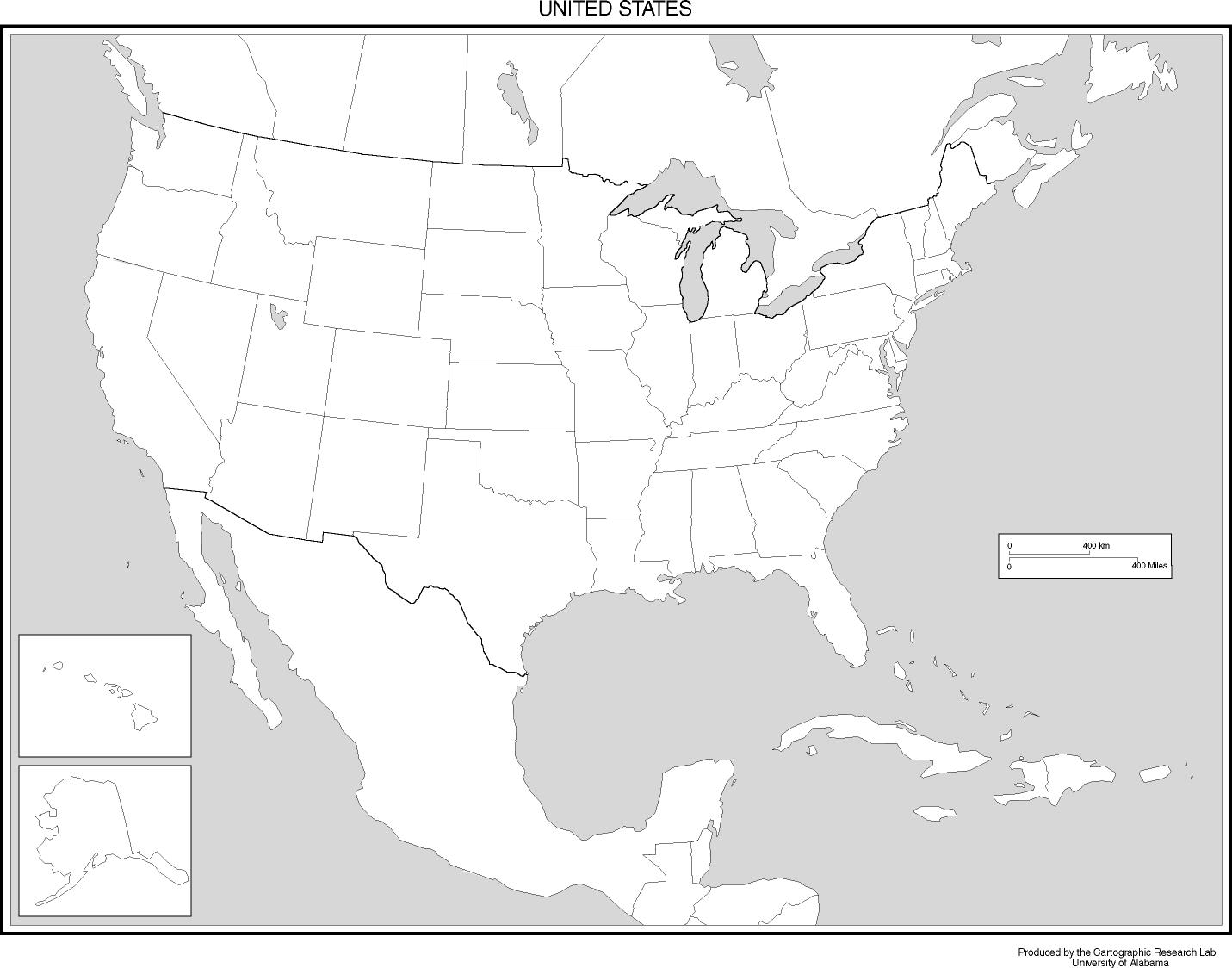
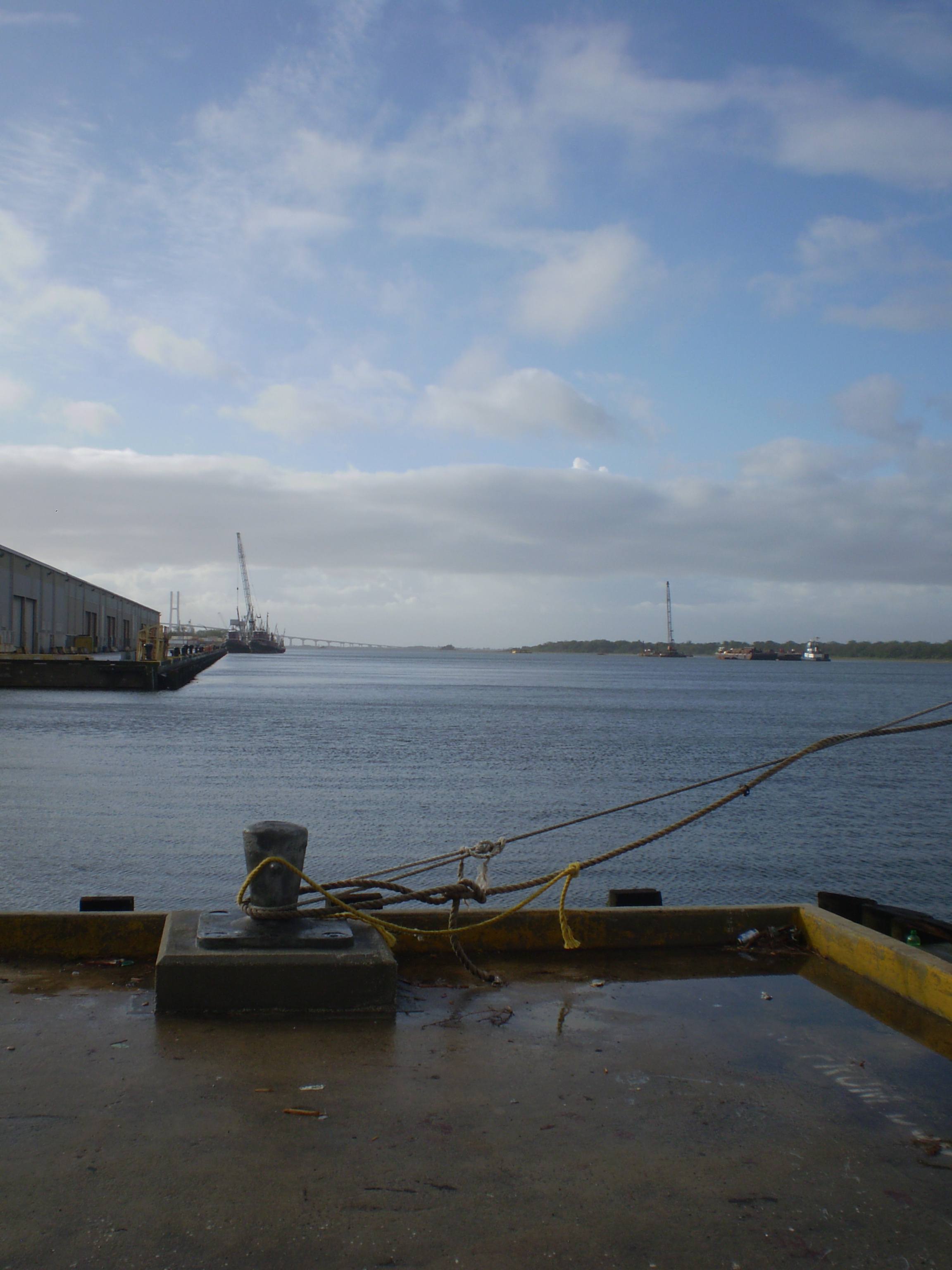
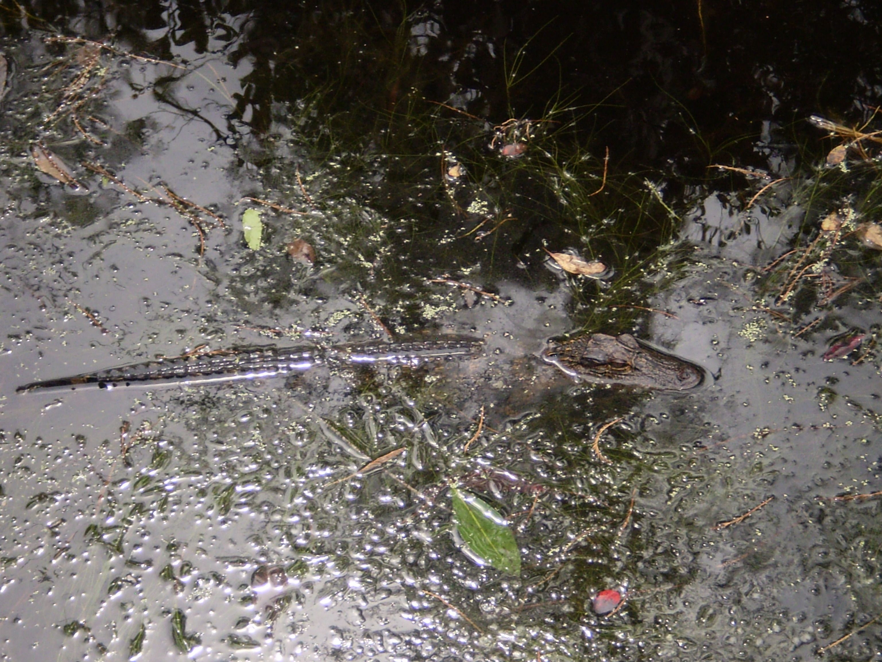
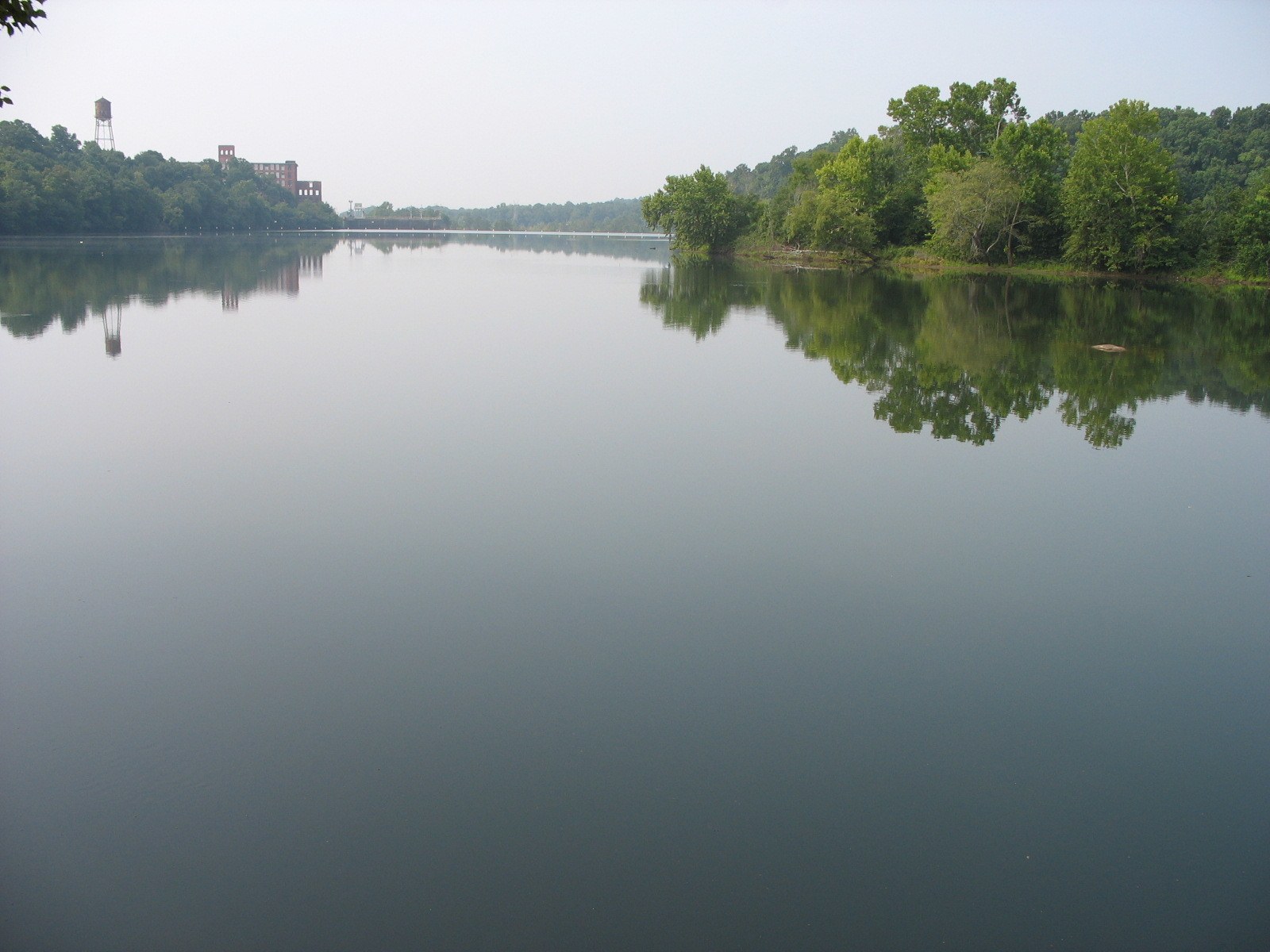
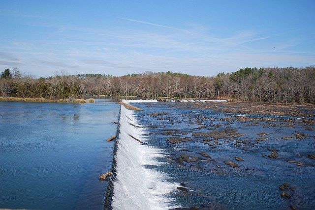
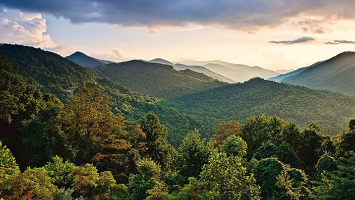
Which physical feature starts in Blue Ridge, Ga and runs between Georgia and Alabama?
Appalachian Mountains
Savannah RIver
TAG Region
Chattahoochee River
This physical feature starts in North Georgia and runs through the northern part of the USA.
Appalachian Mountains
Okefenokee Swamp
Savannah River
Fall Line
What is the region that is located between Blue Ridge and Appalachian Plateau?
Georgia
Florida
Alabama
Ridge and Valley
Which physical feature sits on the coast line of Savannah, Ga?
Appalachian Mountains
Blue Ridge Mountains
Barrier Islands
Okefenokee Swamp
What is the name of the region located above Coastal Plains? (Also has the cities of Macon and Atlanta)
Coastal Plains
Blue Ridge
Ridge and Valley
Piedmont
Which physical feature is located in the south right on the Georgia Florida line? It is the home of endangered species
Okefenokee Swamp
Barrier Islands
Appalachian Mountains
Atlanta Zoo
Which region is located in the top Northeast corner? This region also has Brasstown Bald located in it.
Blue Ridge
Ridge and Valley
Coastal Plains
Peidmont
Within the United States, what region is Georgia located in?
Northwestern
Southeast
Northeast
Southwest
What continent is Georgia located in?
(a)
Which 2 hemispheres are Georgia located in?
Southeastern
North; west
South; East
North
Which physical feature runs between Georgia and South Carolina?
Barrier Islands
Appalachian Mountains
Savannah River
Chattahoochee River
Name the physical feature that splits the Coastal and Piedmont Regions.
(a)
Which region is known as the TAG region and is located in the North West top corner?
Savannah
Appalachian Plateau
Savannah River
Chattahoochee River
Which Nation is Georgia located in?
(a)
This region is located between the piedmont region and Florida.
Barrier Island
Coastal Plains
Savannah River
Appalachian Mountains

Which Geographic Region is the smallest and called TAG corner?
Appalachian Plateau
Ridge and Valley
Blue Ridge
Piedmont
Which Geographic Region is the smallest and called TAG corner?
Appalachian Plateau
Ridge and Valley
Blue Ridge
Piedmont

Which region consists of several mountain ridges and the valleys created between them
Coastal Plains
Appalachian Plateau
Ridge and Valley
Blue Ridge

The Dahlonega Gold Rush occurred in what region?
Blue Ridge
Piedmont
Coastal Plain
Appalachian Plateau

Which region is know for it's red clay and had many cotton plantations?
Ridge and Valley
Blue Ridge
Piedmont
Coastal Plain

This region grows peanuts,onions cotton, and various other vegetable crops?
Ridge and Valley
Blue Ridge
Piedmont
Coastal Plain

The only region that had coal mining?
Piedmont
Coastal Plain
Appalachian Plateau
Ridge and Valley

Dalton Ga the world capital for the carpet industry is located in which region?
Ridge and Valley
Piedmont
Coastal Plain
Blue Ridge

Which region gets the most precipitation?
Ridge and Valley
Blue Ridge
Piedmont
Coastal Plain

Which region is the most populated region?
Blue Ridge
Piedmont
Coastal Plain
Appalachian Plateau

Which region has manufacturing, shipping, and fishing?
Piedmont
Coastal Plain
Blue Ridge
Ridge and Valley

