
NEW
Font size
 Worksheets
What is a Geographer?
Total questions: 56
Worksheet time: 28mins

What is a geographer?
A geographer is a scientist who studies Earth's land, water, and air, and how people live on it.
A geographer is a person who studies the stars and planets.
A geographer is someone who designs buildings and bridges.
A geographer is a scientist who studies animals in the wild.

Geographers study Earth's land, water, air, and _______.
people
cars
computers
books

What do geographers explore?
Geographers explore how our world works and changes.
Geographers explore only the history of ancient civilizations.
Geographers explore the rules of mathematics.
Geographers explore the structure of atoms.

A physical map shows natural features like mountains and rivers, while a political map shows boundaries and cities.
A physical map shows natural features, while a political map shows boundaries and cities.
A physical map shows population density, while a political map shows climate zones.
A physical map shows historical events, while a political map shows weather patterns.
A physical map shows economic activities, while a political map shows natural disasters.
What are mountains?
Tall landforms, like Himalayas.
Large bodies of water, like the Pacific Ocean.
Flat areas of land, like plains.
Deep holes in the ground, like caves.
What are rivers?
Flowing waterways, like Amazon River.
Mountains covered with snow.
Deserts with sand dunes.
Forests with tall trees.
What are climates?
Weather patterns, hot or cold.
Types of rocks found in mountains.
Different kinds of plants in a forest.
Shapes of clouds in the sky.
What are soils?
Ground types, e.g., fertile soil.
Types of water bodies.
Kinds of weather patterns.
Different animal species.

According to the passage, what do geographers study to understand human-made landscapes?
Animal migration patterns
Human activities and cultures
Weather changes
Ocean currents

Fill in the blank: Studying different building styles in a city like Paris helps geographers understand its _______.
history
weather
population
language

True or False: Geographers only study natural landscapes, not human-made ones.
True
False
What do geographers examine to understand how regions depend on each other?
They examine how people, ideas, and products move across the Earth.
They study only the physical features of the land.
They focus solely on the climate of each region.
They look at the population size of each country.
Geographers study how places connect, from local towns sharing resources to countries trading goods globally. True or False: Geographers only study the movement of products across the Earth.
True
False
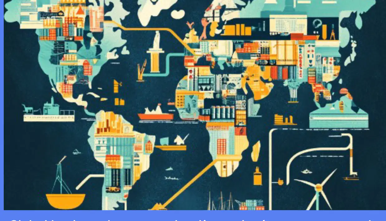
What is the main purpose of global trade routes?
To connect nations and share resources and products.
To limit communication between countries.
To increase travel restrictions.
To promote isolationism.

Sustainable water reuse in serene landscapes with agricultural fields is important because it:
conserves water resources and supports long-term agricultural productivity.
increases water pollution in farming areas.
reduces crop yields and soil fertility.
leads to excessive use of chemical fertilizers.
Fill in the blank: Making sense of space helps us see patterns, such as where ______ or forests grow.
cities
rivers
mountains
deserts
Fill in the blank: Making sense of space helps us track spread, such as how ______ or diseases move.
ideas
cars
buildings
mountains
Fill in the blank: Making sense of space helps us study changes, such as how ______ use shifts over time.
land
water
air
energy
Fill in the blank: Making sense of space helps us understand history, such as why ______ happened there.
events
buildings
rivers
mountains
What is latitude?
Latitude is a special rule used by geographers to create and update maps. It measures the distance north or south of the equator.
Latitude is the measurement of height above sea level.
Latitude is the distance east or west of the prime meridian.
Latitude is a type of map projection used in cartography.
What is longitude?
Longitude is a special rule used by geographers to create and update maps. It measures the distance east or west of the prime meridian.
Longitude is the measurement of height above sea level.
Longitude is the distance north or south of the equator.
Longitude is a type of map projection used in cartography.
What is elevation?
Elevation is a special rule used by geographers to create and update maps. It refers to the height above sea level.
Elevation is the process of drawing boundaries between countries.
Elevation is a type of weather pattern that affects rainfall.
Elevation is a method of measuring temperature in different regions.
What is a map scale?
A map scale is a special rule used by geographers to create and update maps. It shows the relationship between distances on the map and actual distances on the ground.
A map scale is a type of compass used to find directions on a map.
A map scale is a legend that explains the symbols used on a map.
A map scale is a tool for measuring the height of mountains on a map.

According to the passage, why do geographers create and update maps using special rules like latitude, longitude, elevation, and map scales?
To make maps look colorful
To help us understand how places looked in the past, which is key for history
To confuse people
To make maps bigger
What do geographers use GIS for?
To build digital maps
To plant trees
To write books
To travel the world
Fill in the blank: GIS is special computer software that helps geographers build ________ maps.
digital
paper
ancient
hand-drawn
Which of the following information can be layered on digital maps using GIS?
Population density
Land use
Both A and B
None of the above

According to the image, what is being analyzed with GIS in Industry 4.0?
Global data
Personal schedules
Local recipes
Historical novels
Fill in the blank: When researching our world, one important aspect is to study physical features like _______ and rivers.
mountains
cars
computers
books
Fill in the blank: When researching our world, it is important to observe human activities, specifically how _______ live.
people
animals
plants
machines
Fill in the blank: Analyzing economic patterns, jobs, and _______ is a key part of researching our world.
trade
weather
music
sports
Fill in the blank: Examining political organization helps us understand how places are _______.
governed
decorated
measured
traveled
According to the passage, what do geographers look at to understand connections?
Geographers look at collected data, like how much rain falls or where people live.
Geographers only study ancient maps to understand connections.
Geographers focus solely on animal migration patterns to understand connections.
Geographers rely exclusively on satellite images to understand connections.
How does analyzing data help geographers?
Analyzing data helps geographers solve important problems for people and places.
Analyzing data prevents geographers from using technology.
Analyzing data makes maps less accurate for geographers.
Analyzing data causes geographers to ignore physical features.
Geographers connect physical things, like rivers, to human actions, like building towns, to see important patterns.
True
False
Which of the following is NOT mentioned as a way geographers use data?
A) Planning new communities safely
B) Managing water resources
C) Building bridges
D) Solving important problems for people and places
Geographers help us understand how _______ shaped history. (Fill in the blank)
physical features
languages
technologies
governments
Geographers help us understand why past events happened where they did by:
studying the relationship between people, places, and environments
predicting future technological advances
focusing only on current events
ignoring the impact of location on history

According to the passage, why were rivers like the Nile important for ancient civilizations such as Egypt?
They provided gold and jewels
They provided water for farming and easy travel
They were used for building pyramids
They were a source of entertainment
Fill in the blank: These waterways provided water for _______ and easy travel, directly influencing where and how early societies thrived.
farming
hunting
mining
building roads
The passage states that rivers influenced where and how early societies thrived.
True
False
According to the passage, what role did tall mountains like the Himalayas play for ancient cultures?
They provided water for farming
They acted as natural walls and protected from invaders
They were used for building cities
They were sources of gold
Fill in the blank: Tall mountains, like the Himalayas, acted as natural ______. These barriers protected ancient cultures from invaders, helping them develop uniquely, like in ancient China.
walls
bridges
rivers
roads
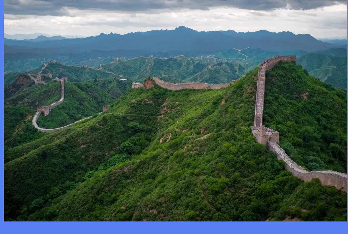
The Great Wall of China is an example of a historical barrier built through green mountains to protect ancient China from invaders.
True
False
Fill in the blank: Geographers study ancient ______ routes.
trade
weather
animal
language
Which of the following is a famous example of an ancient trade route?
The Silk Road
The Great Wall
The Nile River
The Colosseum
Fill in the blank: Geography shaped where ______ grew.
cities
rivers
mountains
forests
Goods, ideas, and cultures spread widely along trade routes.
True
False
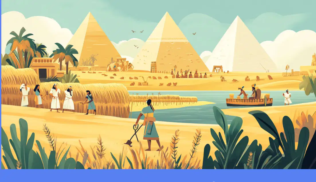
Why did ancient Egypt grow along the Nile River?
Because of its fertile land
Because of its mountains
Because of its forests
Because of its deserts
Geography helps us understand why history happened where it did.
True
False
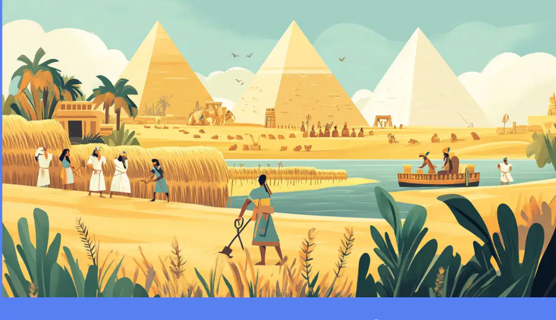
Fill in the blank: Ancient Egyptians thrived along the fertile ______ River.
Nile
Amazon
Yangtze
Mississippi
According to the passage, how do geographers help us understand Earth's history, what is happening now, and what might happen next?
By using tools like maps and data to study our planet.
By predicting the weather using only their intuition.
By traveling to every country in the world.
By creating fictional stories about the Earth.
Fill in the blank: Geographers study Earth's land, water, and _______.
people
cars
computers
books
Which of the following tools do geographers use?
Maps and digital tools like GIS
Only telescopes
Only compasses
Only satellites
Fill in the blank: Geography helps explain _______ events.
historical
musical
chemical
fictional
Geographers solve important real-world problems.
True
False

