
 Worksheets
2 replicates
Total questions: 50
Worksheet time: 27mins
Soil erosion is the ______ and ______ of soil particles by natural (i.e. water and wind) or anthropogenic (man-induced or man-related) causes.
detachment; transport
formation; deposition
growth; accumulation
hardening; compaction
Which of the following are considered eroding agents?
Rainfall/raindrop, runoff, wind
Sunlight, temperature, humidity
Animals, bacteria, fungi
Rocks, minerals, metals
What does Rainfall Erosivity refer to?
The capacity of rainfall to cause erosion
The ability of soil to absorb water
The rate at which plants use water
The amount of rainfall in a year
What is Soil Erodibility?
The susceptibility of the soil to be eroded
The ability of soil to retain water
The process of soil formation
The capacity of soil to support plant growth
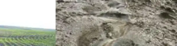
Which of the following is an on-site impact of soil erosion?
Increased crop productivity
Reduced crop productivity due to loss of topsoil
Enhanced infiltration rate
Decreased direct runoff
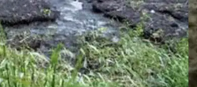
Soil erosion leads to reduced infiltration rate, percolation, and subsurface/aquifer recharge.
True
False
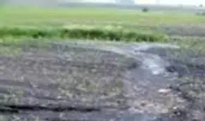
Fill in the blank: One of the on-site impacts of soil erosion is ________ direct runoff.
increased
decreased
unchanged
eliminated
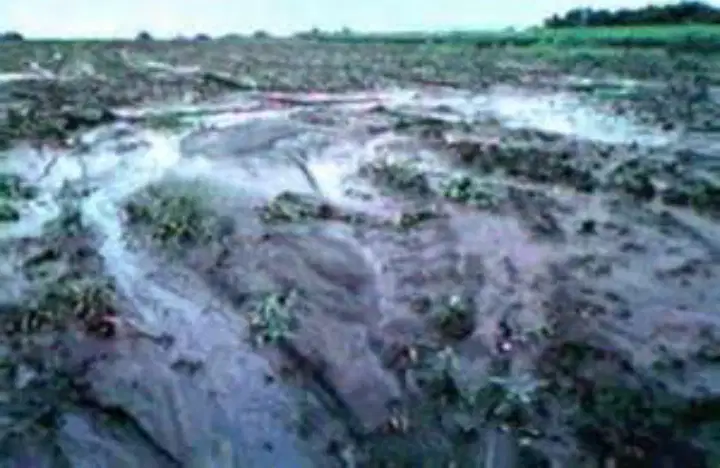
What is one on-site impact of land degradation shown in the image?
Increased land value
Decreased land value
Improved biodiversity
Decreased local temperature
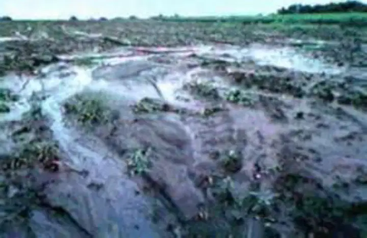
One on-site impact of land degradation is ________ local temperature.
increased
decreased
stabilized
unchanged
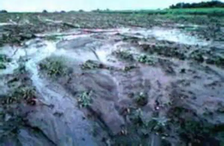
Which of the following is damaged as an on-site impact of land degradation?
Biodiversity (flora and fauna)
Urban infrastructure
Air quality
Water supply
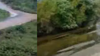
Which of the following is an off-site impact of siltation?
Increased water capacity in rivers
Siltation in farms, rivers, dams, canals, and other water channels
Improved water quality
None of the above
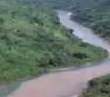
Reduced water capacity of rivers, water channels, and dams and other water reservoirs is an example of an ________ impact of siltation.
off-site
on-site
direct
temporary
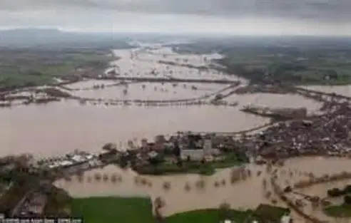
One of the off-site impacts of siltation is ________ of downstream.
Flooding
Erosion
Drought
Salinization
Forms and classification of erosion, which is based on nature of occurrence, erosion can be classified into which of the following types?
Natural or geologic erosion
Man-made or accelerated erosion
Chemical erosion
Biological erosion
Erosion that occurs due to human activities is called ________.
Man-made or accelerated erosion
Natural erosion
Glacial erosion
Wind erosion
Erosion that occurs naturally over time without human intervention is called ________.
Natural or geologic erosion
Accelerated erosion
Artificial erosion
Chemical weathering
Based on relative place of occurrence, what are the two types of erosion?
Surface erosion and Subsurface erosion.
Chemical erosion and Physical erosion.
Wind erosion and Water erosion.
Sheet erosion and Rill erosion.
Which type of erosion occurs on the land surface?
Surface erosion
Subsurface erosion
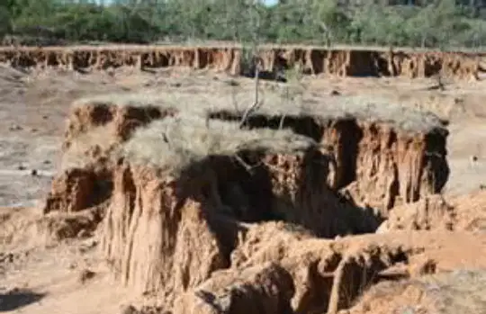
Observe the images provided. Which type of erosion is shown in the images with deep channels and gullies?
Surface erosion
Subsurface erosion
Based on the eroding agent, which of the following is NOT a type of erosion?
Water erosion
Wind erosion
Ice erosion
Rainfall erosion
_______ erosion includes rainfall erosion and runoff erosion.
Water
Wind
Glacial
Chemical
Which of the following is NOT a type of erosion based on sequential occurrence?
Sheet
Interill
Gully
Streambank
Wind
What is sheet erosion?
The removal of soil in thin layers from sloping land due to sheet or overland flow
The formation of deep channels in the soil
The accumulation of soil at the streambank
The movement of soil by wind
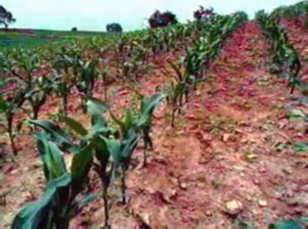
What is interill erosion?
It is a splash erosion
It is a sheet erosion
It is splash and sheet erosion combined
It is wind erosion
Rill erosion is the detachment of soil by a ________ flow of water.
concentrated
diffuse
gentle
slow
Which of the following is an example of rill erosion?
Cracked dry soil with a hand
Soil with small channels formed by water
Flat dry soil with cracks
What is gully erosion?
Erosion that produces channels smaller than rills
Erosion that produces channels larger than rills, called gullies, and which cannot be obliterated by normal tillage
Erosion that can be fixed by normal tillage
Erosion that does not produce channels
Fill in the blank: ________ erosion produces channels larger than rills, called gullies, and which cannot be obliterated by normal tillage.
Gully
Sheet
Splash
Wind

Which type of erosion is shown in the images?
Sheet erosion
Rill erosion
Gully erosion
Wind erosion
What is one type of soil erosion mentioned under the mechanics of soil erosion?
Rainfall erosion (or raindrop/splash)
Wind erosion (or deflation)
Glacial erosion (or abrasion)
Chemical erosion (or leaching)
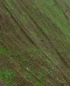
What is the material shown in the images called?
Geotextile
Plastic sheet
Metal mesh
Rubber mat
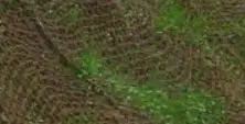
Geotextile is used to prevent ________ on slopes and soil surfaces.
erosion
sedimentation
compaction
fertilization
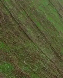
One benefit of using geotextile in soil management is:
It improves soil drainage and prevents erosion.
It increases soil acidity.
It reduces plant growth.
It attracts pests to the soil.
The following are the empirical equations and prediction models except:
USLE
RUSLE
SWAT
WEPP
One of the empirical equations and prediction models is _________
RUSLE
Bernoulli's Equation
Boyle's Law
Newton's Law
In the Universal Soil Loss Equation (E=RKLSCP), what does 'E' stand for?
annual soil erosion rate
evaporation rate
energy coefficient
erosion index
Which of the following is not a purpose of terracing?
To reduce soil erosion
For water conservation
For flood control
For soil fertility rejuvenation
None of the above
The following are on-site effects of erosion, except:
Reduced crop productivity
Reduced infiltration
Increased of direct runoff
Damaged biodiversity
None of the above
The following factors are represented in the USLE except:
Rainfall erodibility
Cover management
Slope length
Conservation practice
Relief
The detachment and transport of soil by a concentrated flow of water.
Sheet erosion
Rill erosion
Interill erosion
Streambank erosion
Cropping systems where strips of some grass or legume crop are laid out between strips of crops in the regular rotations; they may be even or irregular in width; they may be placed on critical slope areas of the field.
Buffer strip
Contour strip
Field strip
Random strip
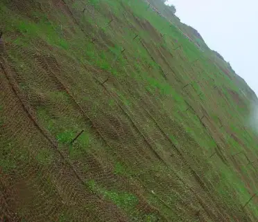
It is an organic or synthetic permeable cloth-like material used for soil conservation and erosion prevention.
Geotextile
Geosynthetics
Geomesh
Both a and b
All of the above
On a 10% hill slope, it is proposed to construct bench terraces of vertical cuts. If the vertical interval is 2 meters, what is the width of the terrace?
10 m
8 m
20 m
16 m
Which is a correct description of a soil erosion plot used to experimentally measure soil erosion?
Vegetated
9% slope
20 m long
7.26 ft high
What is the standard slope percentage used in soil erosion plots for measurement?
9%
5%
15%
20%
What is the standard length (in feet) of a soil erosion plot used for measurement?
24.2 yards
70 ft
20m
1 ha
What is the standard surface condition of soil erosion plots used for measurement?
bare fallow
grassy cover
mulched surface
cultivated land
It is the process by which land is left idle or uncropped for one or more seasons to accumulate moisture, destroy weeds and allow decomposition of crop residues.
Ratooning
Fallowing
Idling
Mulching
What are the two main types of soil and water conservation measures?
Vegetative and Natural Control Measures, Engineering-type Control Measures
Physical and Chemical Control Measures, Biological Control Measures
Mechanical and Organic Control Measures, Structural Control Measures
Agronomic and Hydrological Control Measures, Cultural Control Measures
Which of the following is a type of soil and water conservation measure?
Vegetative and Natural Control Measures
Engineering-type Control Measures
Both A and B
None of the above

