
 Worksheets
How Can You Read a Map?
Total questions: 20
Worksheet time: 10mins
What does a legend on a map help you understand?
What the map’s symbols mean
Where mountains are located
Which way the wind is blowing
How far places are apart
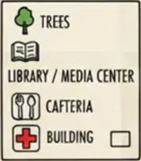
Look at a school map with paths, buildings, and icons. Which element makes this map useful by explaining the tree and cafeteria icons?
Compass rose for directions
Title banner for school name
Legend box for symbol meanings
Scale bar for measuring distance
A map has a title, symbols, a legend, a compass rose, and a scale. Which set of features best helps you plan a route from the entrance to the cafeteria?
Symbols and legend together
Scale and compass rose
Legend and compass rose
Title and legend together
Which statement best describes a map symbol?
A map scale showing real distances
A small picture, letter, line, or color
A long paragraph with detailed notes
A list of city names and addresses
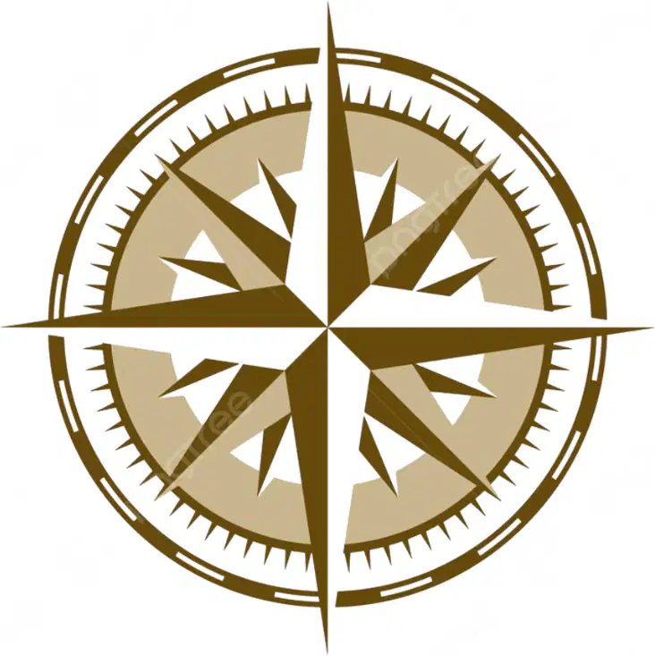
If N points upward on the compass rose, which direction is directly opposite it?
South below north
Northeast above north
East beside north
West beside north
Use the world map. A student plans a trip from Tokyo, Japan to Cairo, Egypt. Which ocean would they cross if they flew west from Japan toward Africa?
Indian Ocean
Pacific Ocean
Arctic Ocean
Atlantic Ocean
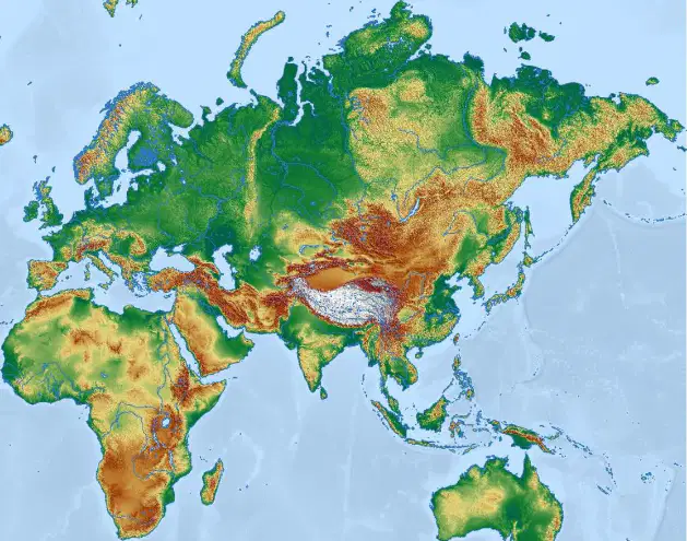
Which statement best describes what a physical map shows using colors and symbols?
It shows natural features like hills and rivers
It shows city borders and population numbers
It shows road names and traffic directions
It shows time zones and weather forecasts
Which feature would you expect to find on a road map legend?
Major road line types
Mountain height labels
Animal habitat zones
Historical battle sites
Which map is best for planning a walk to the library inside your city?
Ocean map of currents
Road map of interstates
Political map of nations
Street map of the city
You are looking for the fastest highway to reach the capital city. Which two map types together would help most?
Topographic map and street map
Street map and weather map
Road map and political map
Political map and star chart
Which map would show the border between Spain and France clearly?
Street map of a village
Political map of Europe
Road map of highways
Rainfall map of regions
A street map often labels places like parks, schools, and libraries. What is this mainly used for?
Helping people navigate
Predicting weather storms
Measuring mountain heights
Tracking wildlife movement
What do contour lines that are close together usually show?
Steeper land like hillsides
Deep oceans and coral reefs
Flatter land with gentle slopes
Low valleys with rivers
What does GPS help a device do?
Photograph distant stars
Pinpoint where it is
Predict next week’s weather
Measure ocean tides
What do the lines on a topographic map mainly represent?
Wind speed changes
Elevation and land shape
Population and age groups
Temperature over seasons
Local attractions maps are designed to highlight what?
Underground rock layers
Factory machine parts
Average yearly rainfall
Points of interest to visit
Which example fits best on a local attractions map?
Theme park and museum
Wind speeds by month
Types of soil horizons
Coal mine locations
You want to plan a family trip to interesting spots. Which map should you use?
Satellite cloud map
Local attractions map
Map of ocean currents
Resource map of minerals
A legend shows icons for oil, lumber, and fish. What does that legend belong to?
Calendar of holidays
Resource map legend
Art museum brochure
Bus route schedule
How could a student use a local attractions map in their town?
Track animal migrations
Count rainfall totals
Measure rock hardness
Find parks to visit

