

Ancient China Geography

Presentation
•
Social Studies
•
6th - 8th Grade
•
Practice Problem
•
Easy

Juvonna Chatman-Jenkins
Used 4+ times
FREE Resource
23 Slides • 25 Questions
1
2
3
Open Ended
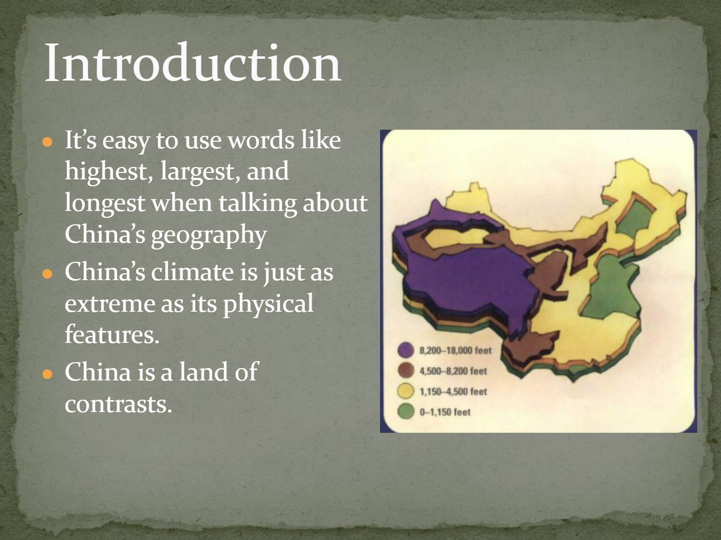
How do the extreme physical features and climate of China contribute to its reputation as a land of contrasts?
4
Multiple Choice
Why is the geography of ancient China considered significant in shaping its civilization?
Because it provided natural barriers and resources
Because it was similar to other ancient civilizations
Because it had no impact on daily life
Because it was mostly desert
5
6
7
Multiple Choice
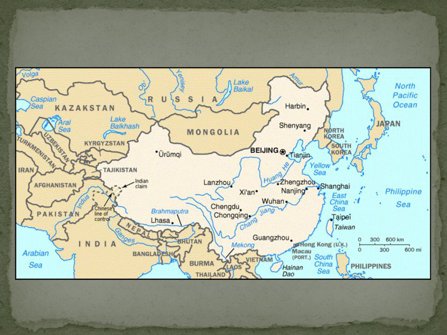
Which of the following countries shares a border with China?
India
Japan
Philippines
South Korea
8
9
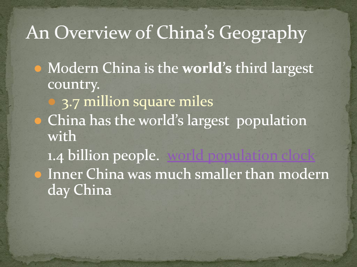
Open Ended
Explain how China's physical geography has influenced its population distribution.
10
11
12
Open Ended
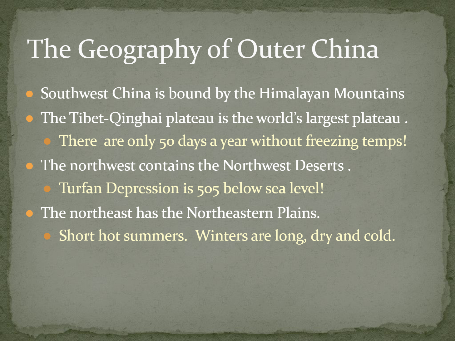
Compare the climates of the Northeastern Plains and the Tibet-Qinghai Plateau in Outer China.
13
Fill in the Blanks
The Turfan Depression is
Type answer...
14
Multiple Select
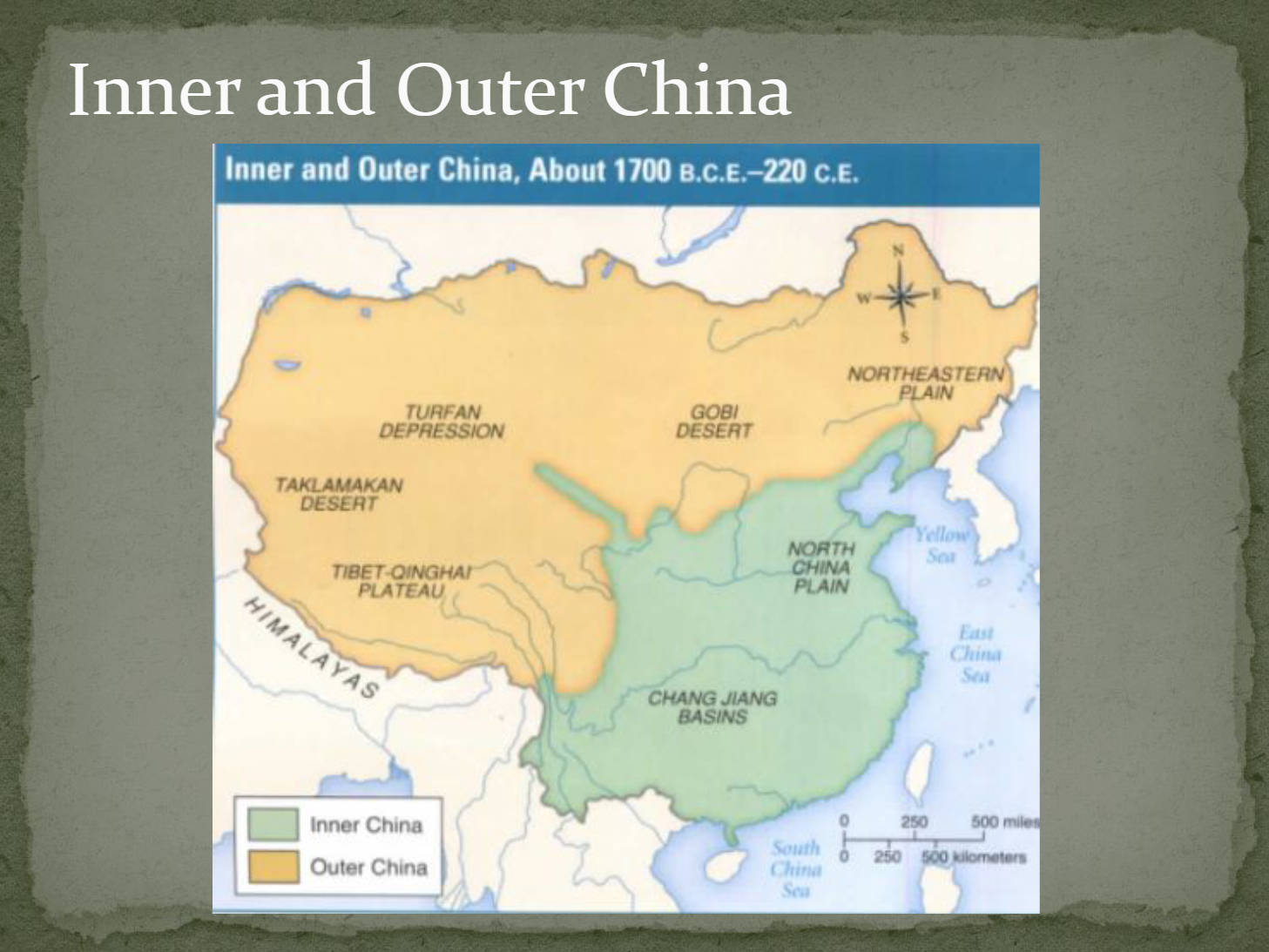
Which of the following are features of Outer China?
Tibet-Qinghai Plateau
North China Plain
Turfan Depression
Gobi Desert
15
16
Multiple Choice
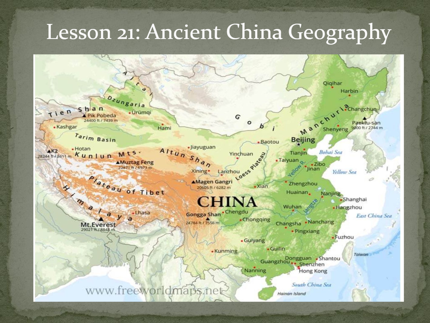
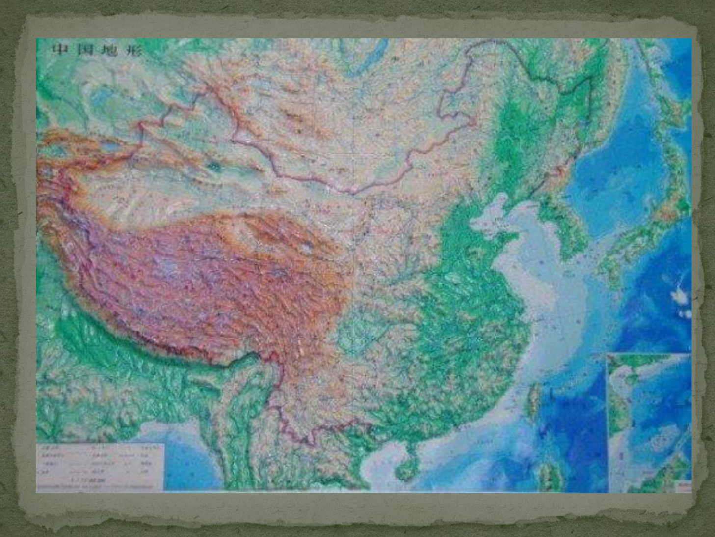
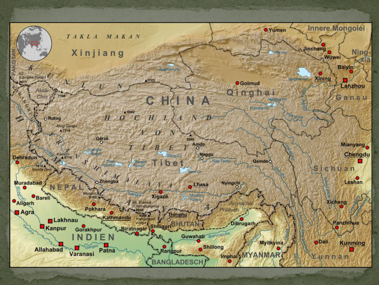
What is the world's largest plateau located in China called?
Gobi Plateau
Tibet-Qinghai Plateau
North China Plateau
Chang Jiang Plateau
17
18
Open Ended
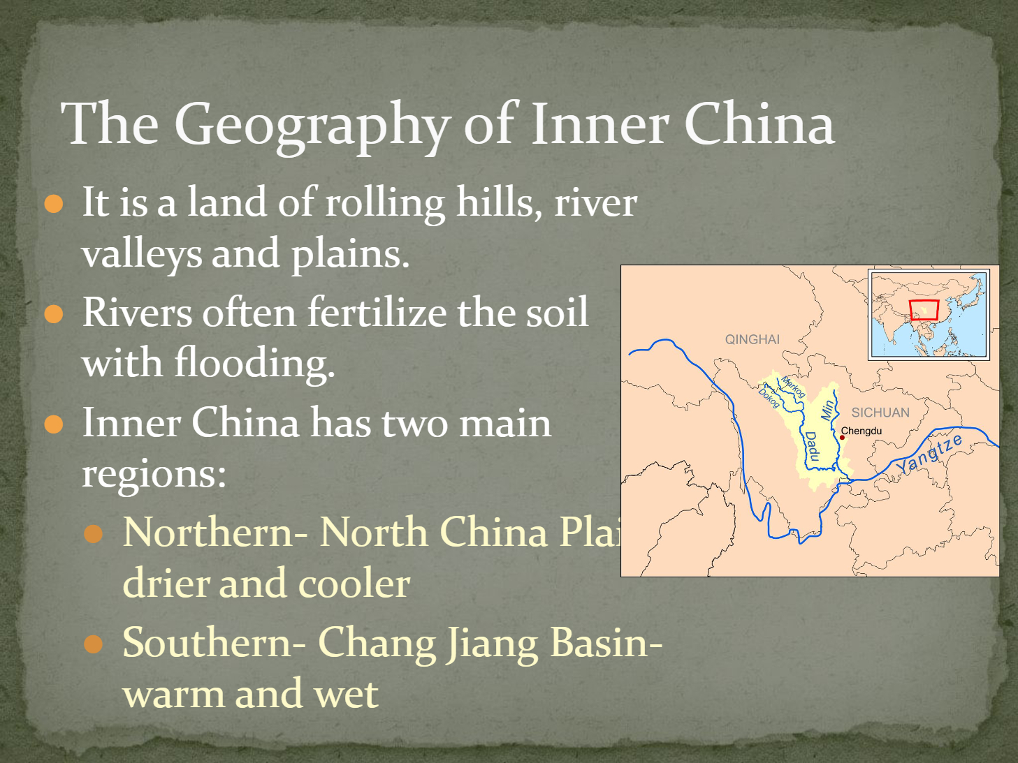
Explain how the geography of Inner China influences agriculture and settlement patterns.
19
Multiple Choice
Which region of Inner China is characterized by being drier and cooler?
Chang Jiang Basin
North China Plain
Sichuan Basin
Qinghai Plateau
20
21
Fill in the Blanks
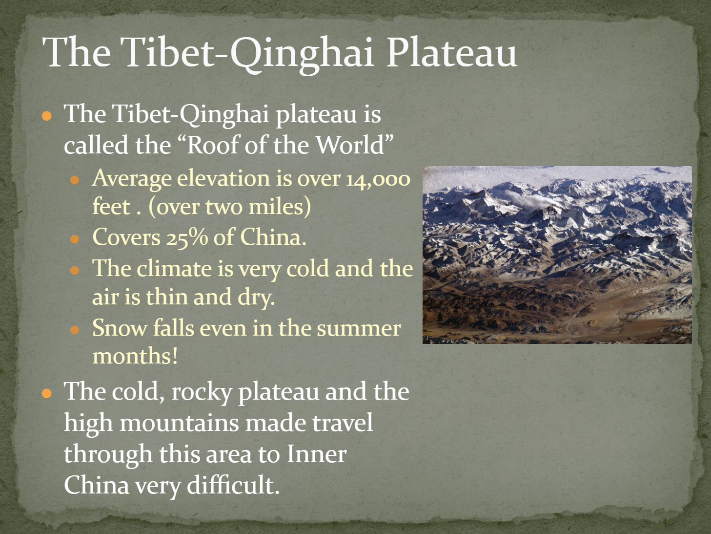
The Tibet-Qinghai Plateau is called the "
Type answer...
22
Multiple Choice
What are two major challenges faced by travelers crossing the Tibet-Qinghai Plateau?
Thin air and cold climate
Frequent flooding and fertile soil
Dense forests and heavy rainfall
Hot temperatures and sandy terrain
23
24
25
26
27
28
Open Ended
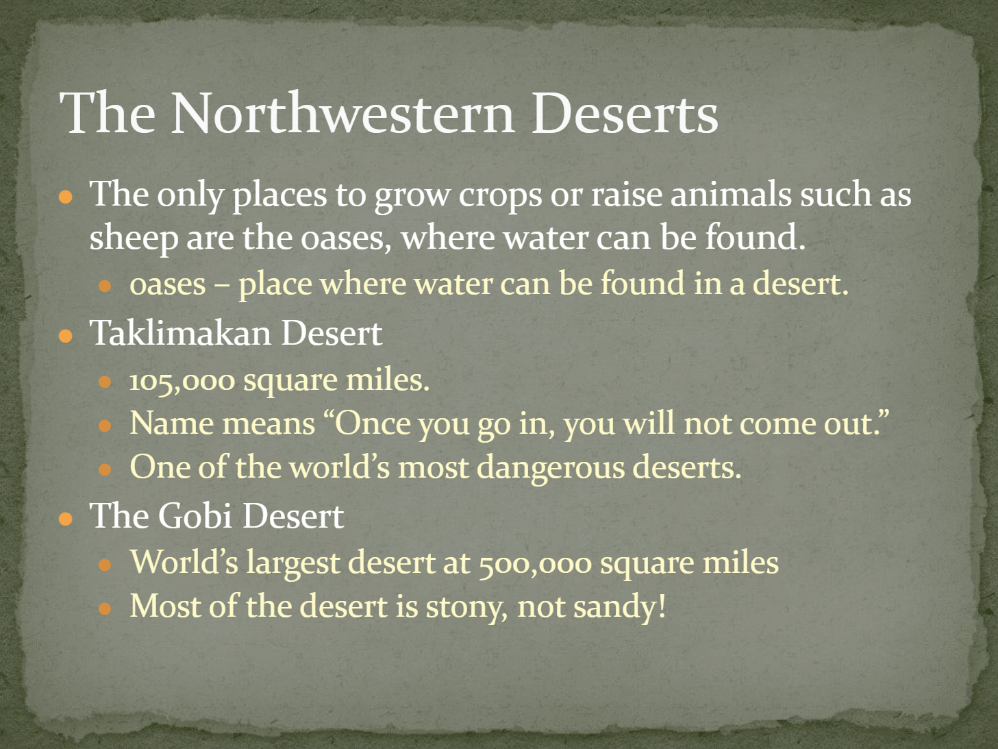
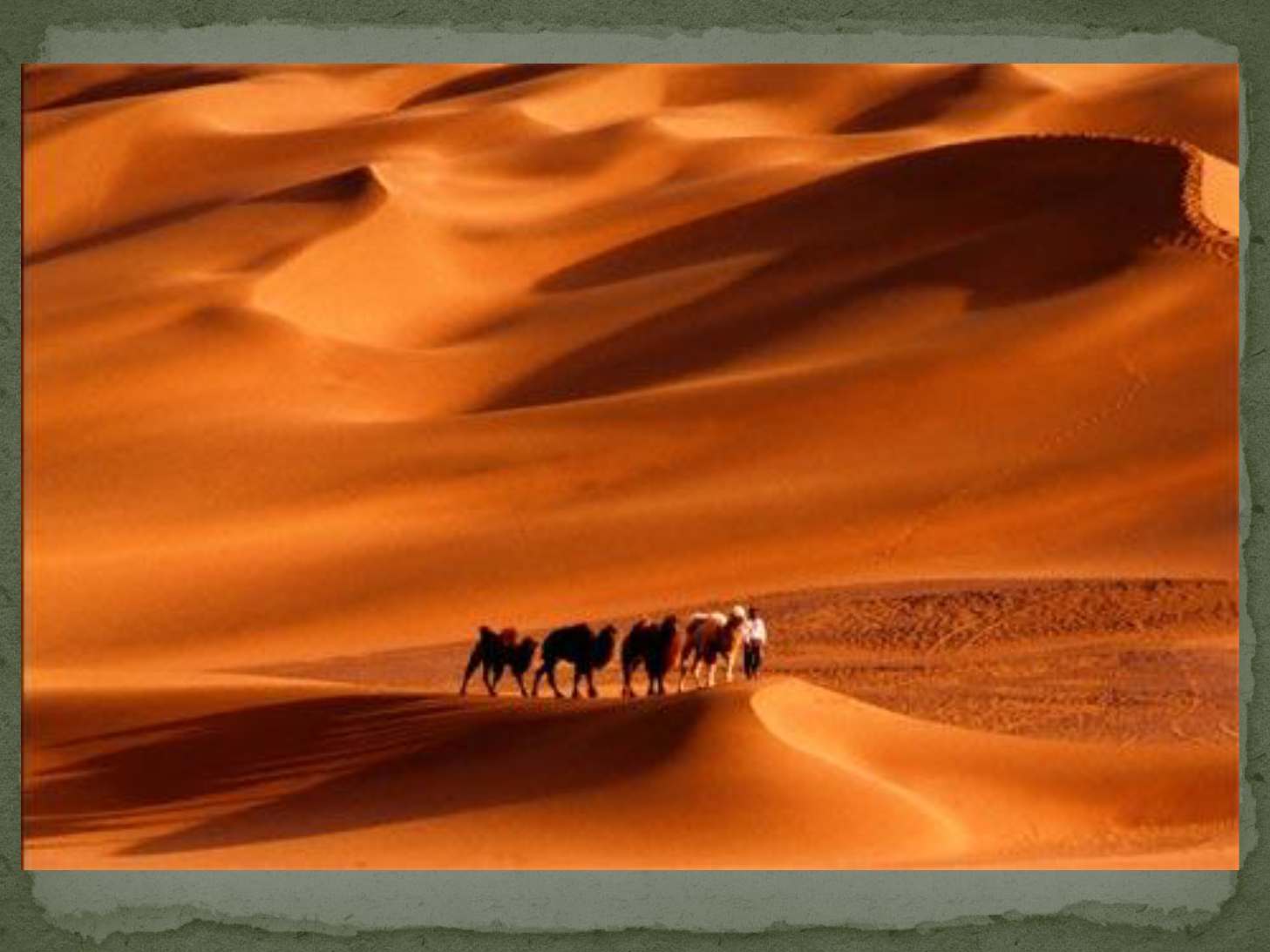
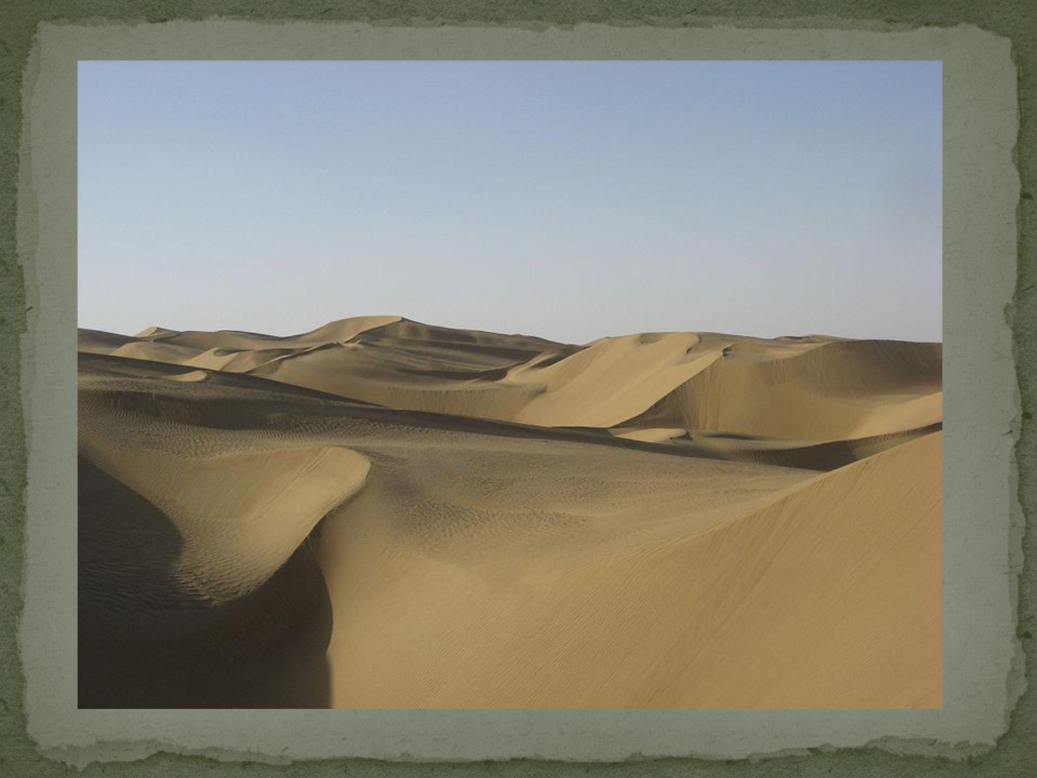
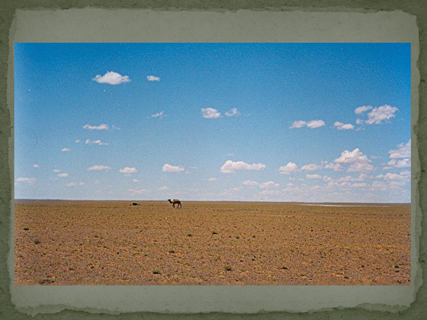
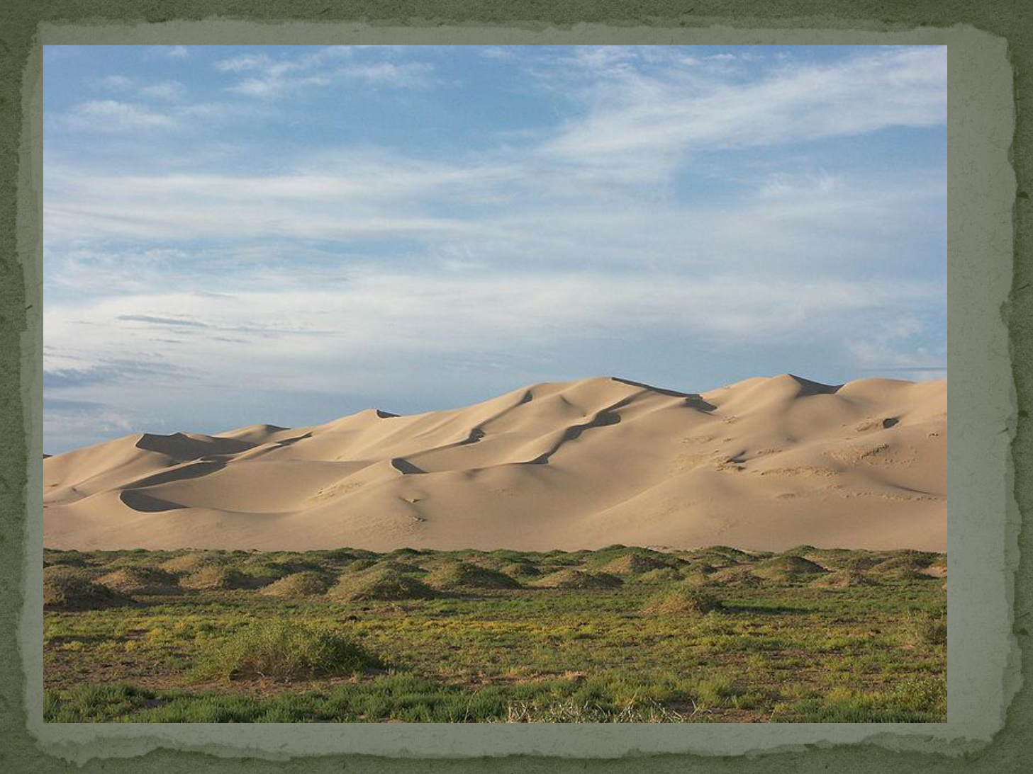
Compare the Taklimakan Desert and the Gobi Desert in terms of their size and terrain.
29
Multiple Choice
Which desert is known for being stony rather than sandy?
Taklimakan Desert
Sichuan Basin
Gobi Desert
North China Plain
30
31
Open Ended
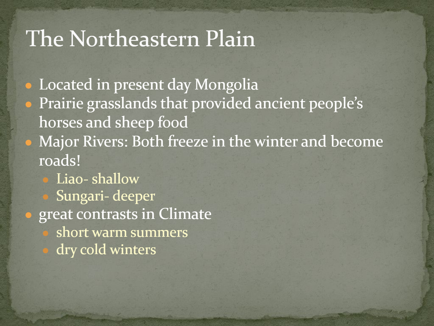
Explain how the climate and geography of the Northeastern Plain influenced ancient people's way of life.
32
33
Fill in the Blanks
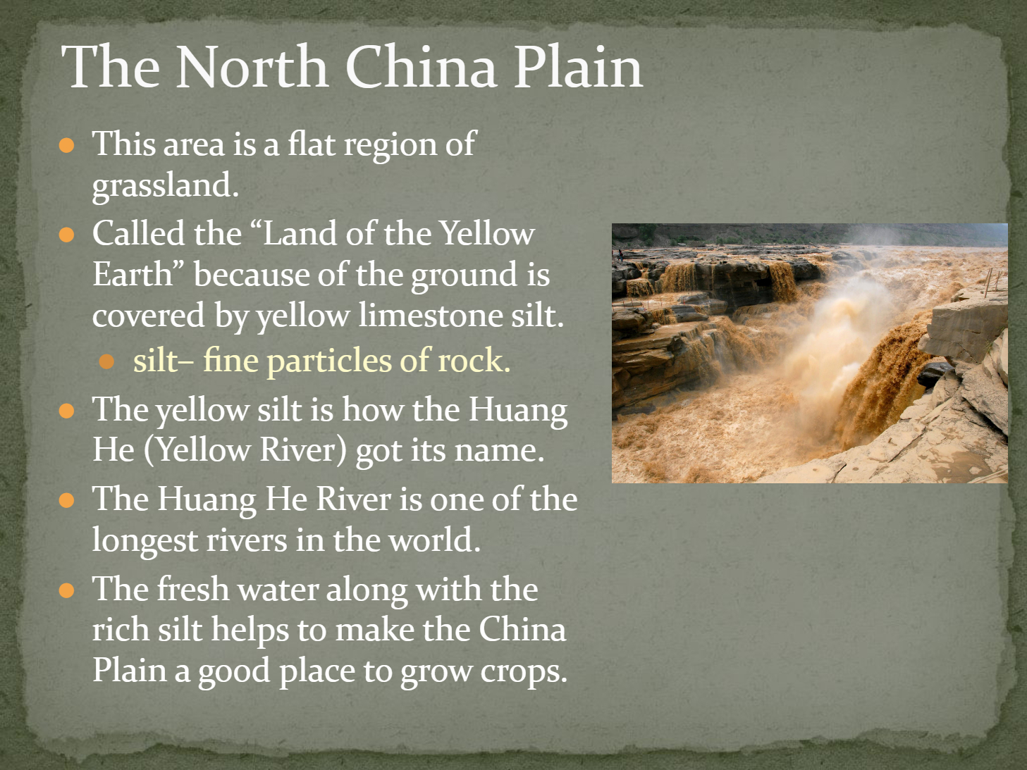
The Huang He River is one of the
Type answer...
34
Multiple Choice
Which river is known as the "Land of the Yellow Earth" due to its yellow limestone silt?
Yangtze River
Yellow River (Huang He)
Liao River
Sungari River
35
36
Multiple Choice
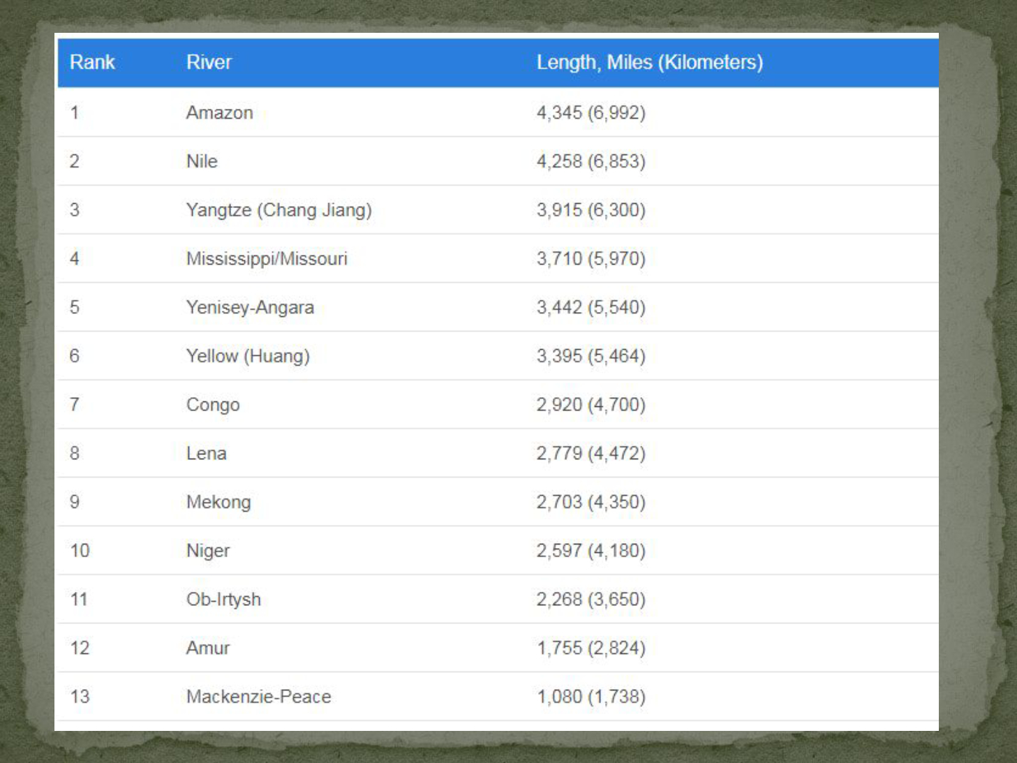
Based on the river length chart, which river is the longest in the world?
Nile
Amazon
Yangtze
Yellow (Huang)
37
38
Multiple Select
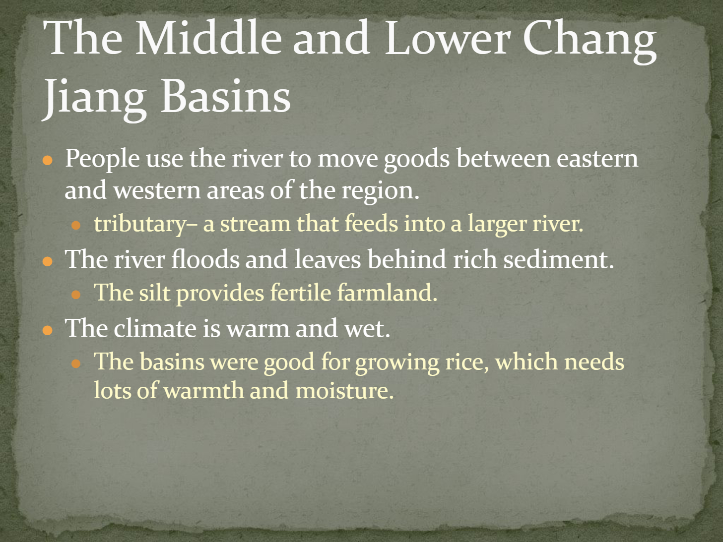
Which of the following statements about the Middle and Lower Chang Jiang Basins is/are correct?
The river floods and leaves behind rich sediment.
The climate is dry and cold.
The basins are good for growing rice.
People use the river to move goods between eastern and western areas.
39
40
Open Ended
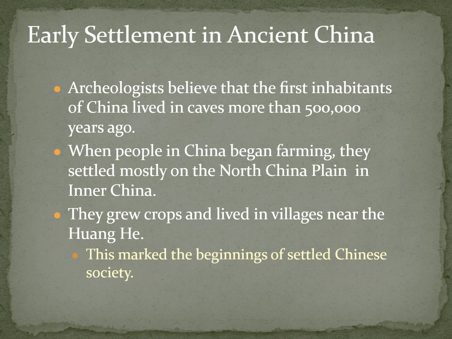
Describe how the development of farming on the North China Plain contributed to the beginnings of settled Chinese society.
41
42
Multiple Choice
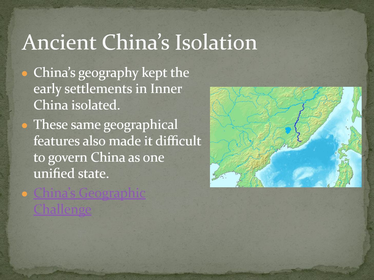
How did China's geography influence the development and governance of early settlements in Inner China?
It made communication and travel easy across regions.
It kept early settlements isolated and made unified governance difficult.
It encouraged frequent trade with neighboring countries.
It led to rapid urbanization throughout China.
43
44
Fill in the Blanks
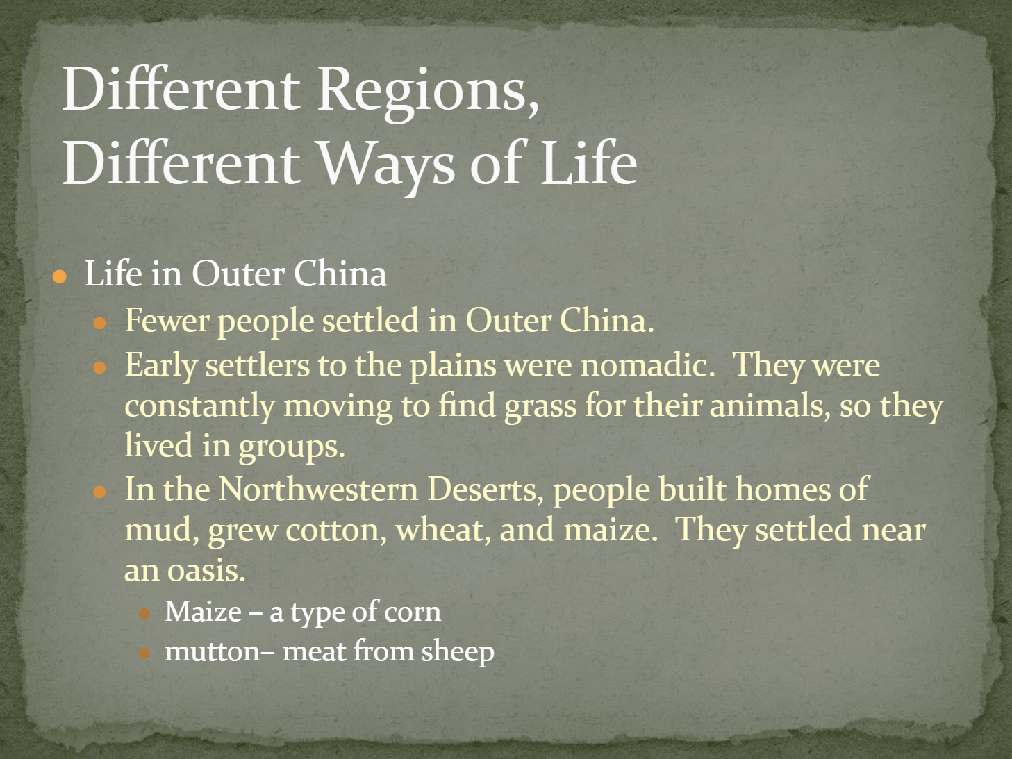
In the Northwestern Deserts of Outer China, people built homes of mud and grew crops such as cotton, wheat, and
Type answer...
45
46
Open Ended
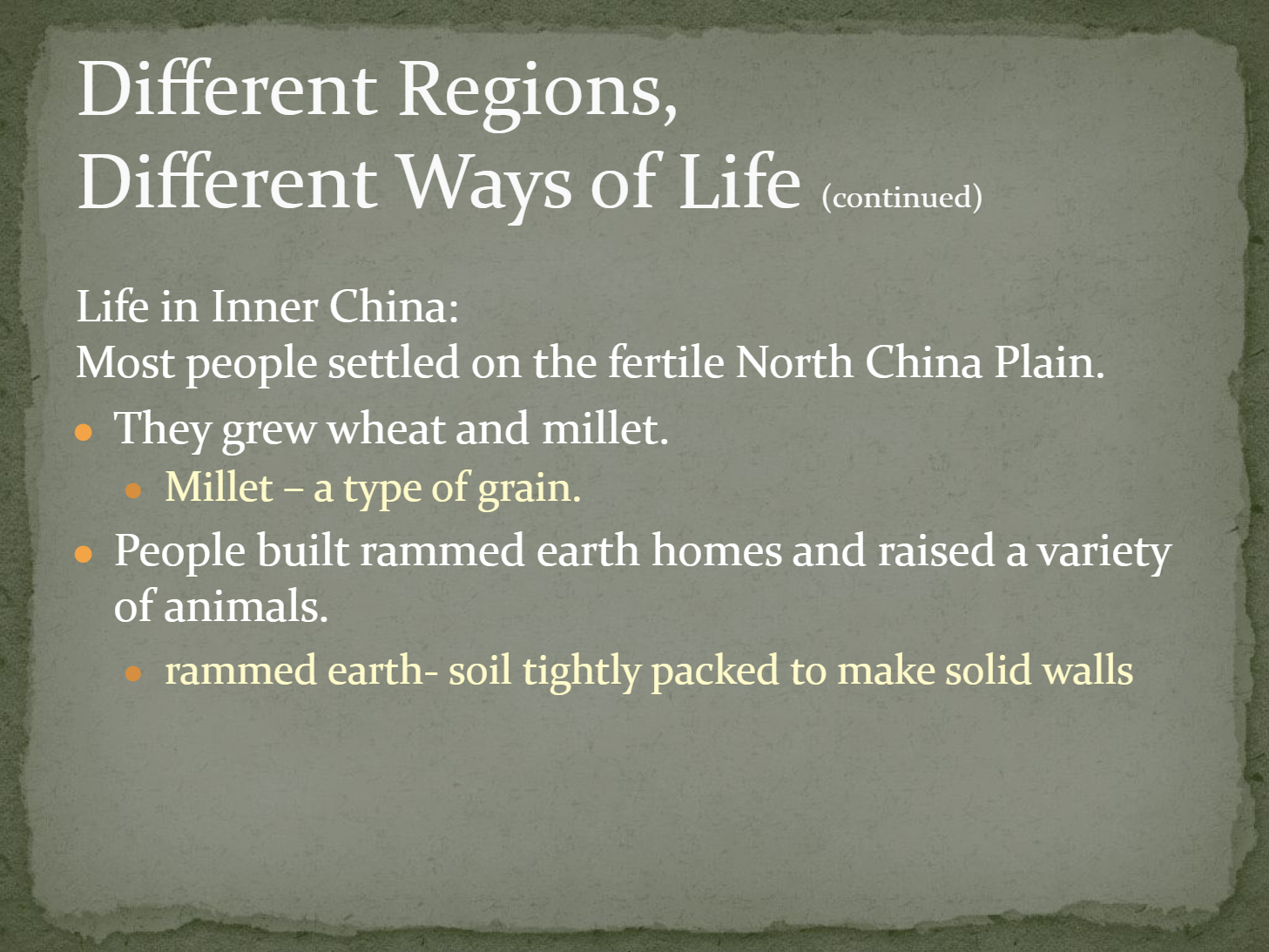
Compare the ways of life in Outer China and Inner China based on the information provided in the slides.
47
Multiple Choice
Which of the following statements best describes the geography of ancient China?
It is mostly flat and uniform.
It has extreme variations in elevation and climate.
It is entirely mountainous.
It is mostly desert.
48
Open Ended
How do China's physical features influence its climate and contribute to the country's land of contrasts?
Show answer
Auto Play
Slide 1 / 48
SLIDE
Similar Resources on Wayground

40 questions
Adjectives and Adverbs
Presentation
•
6th - 8th Grade
43 questions
History of Southwest Asia: Creation of Israel (SS7H2b)
Presentation
•
7th Grade
40 questions
Checks and Balances
Presentation
•
7th - 8th Grade
41 questions
Confusing Words
Presentation
•
6th - 8th Grade
40 questions
WWII
Presentation
•
6th - 8th Grade
42 questions
Ancient Greece
Presentation
•
6th - 8th Grade
42 questions
Wayground Copy of Roman Interaction - 2025
Presentation
•
6th - 8th Grade
44 questions
Rock Transformations Mini Review
Presentation
•
6th - 8th Grade
Popular Resources on Wayground
10 questions
How much do you know about our Portrait of an Eagle?

Quiz
•
10th Grade
10 questions
Fast Food Slogans
Quiz
•
6th - 8th Grade
21 questions
Continents and Oceans
Quiz
•
6th Grade
20 questions
Parts of Speech
Quiz
•
5th Grade
16 questions
Subject & Predicate
Quiz
•
5th Grade
25 questions
Multiplication Facts
Quiz
•
5th Grade
12 questions
Map Skills
Quiz
•
3rd Grade
22 questions
Continents and Oceans
Quiz
•
5th Grade
Discover more resources for Social Studies
10 questions
Exploring the Age of Exploration: Key Events and Figures

Interactive video
•
6th - 10th Grade
13 questions
13 Colonies Map Quiz
Quiz
•
6th - 8th Grade
20 questions
13 original colonies
Quiz
•
8th Grade
10 questions
Causes of the American Revolution
Quiz
•
8th Grade
19 questions
Unit 3 Spanish Colonial Era
Quiz
•
7th Grade
12 questions
7 Continents and 5 Major Oceans
Quiz
•
6th Grade
10 questions
Pillars of Free Enterprise
Quiz
•
6th - 8th Grade
26 questions
QA 1 Review
Quiz
•
6th - 8th Grade