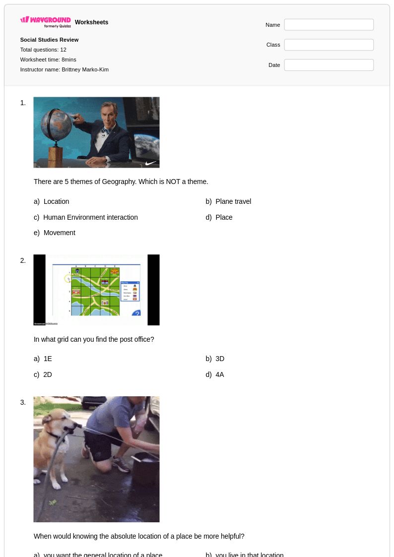
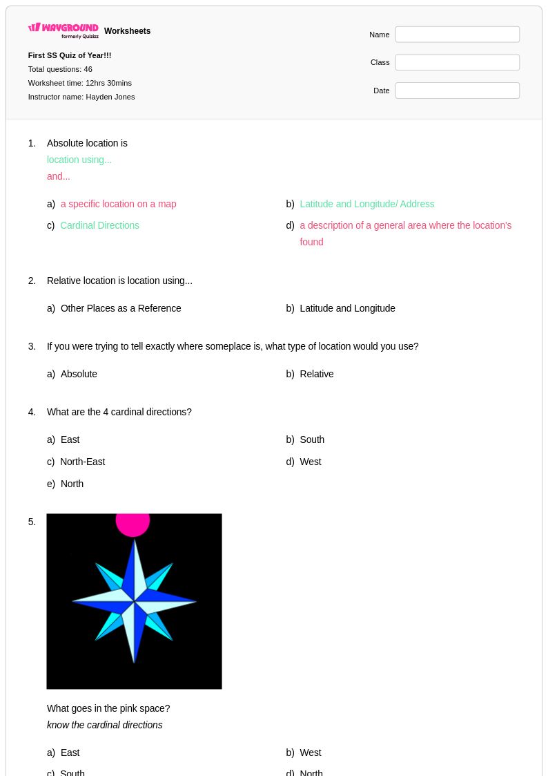
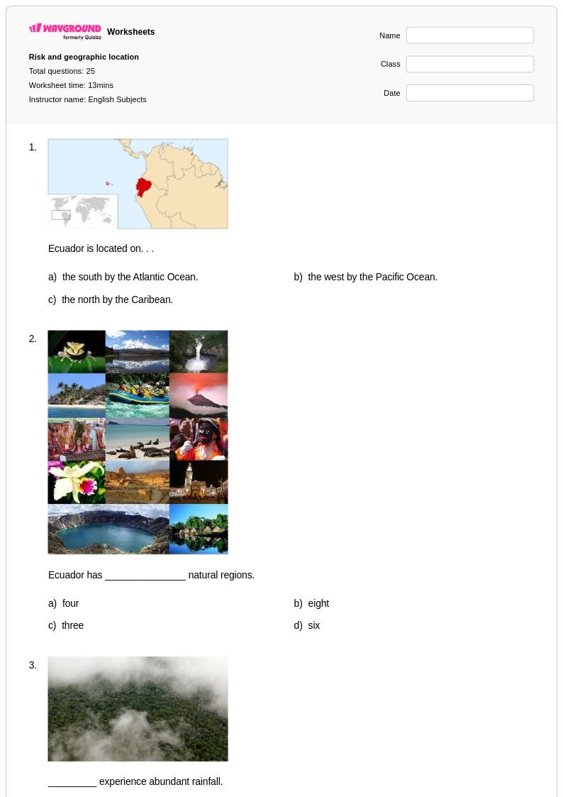
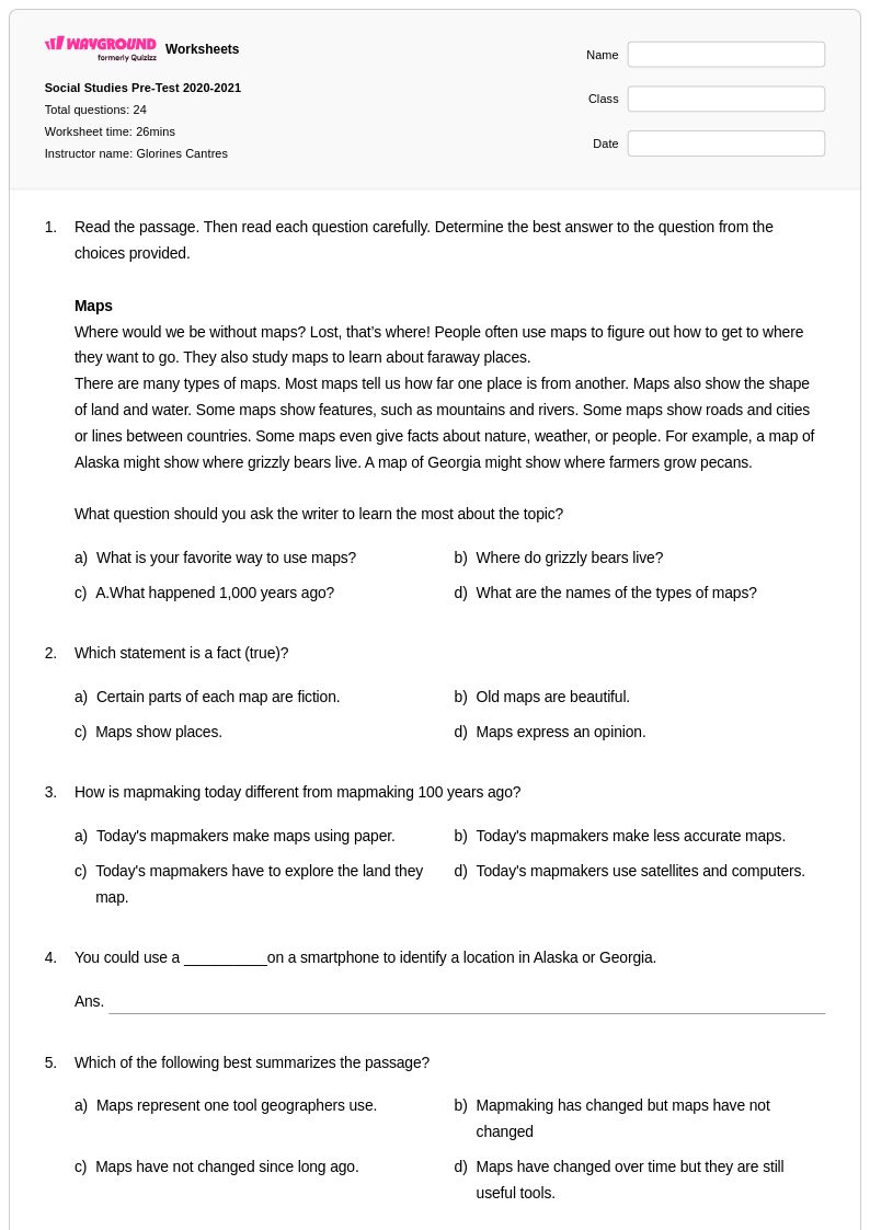
Free Printable Absolute Location Worksheets for Year 3
Year 3 absolute location geography worksheets from Wayground help students practice identifying exact places using coordinates and addresses through engaging printables, free PDF activities, and comprehensive answer keys for effective learning.
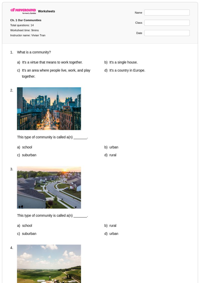
Explore printable Absolute Location worksheets for Year 3
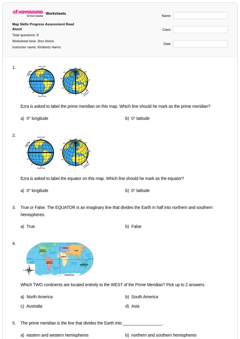
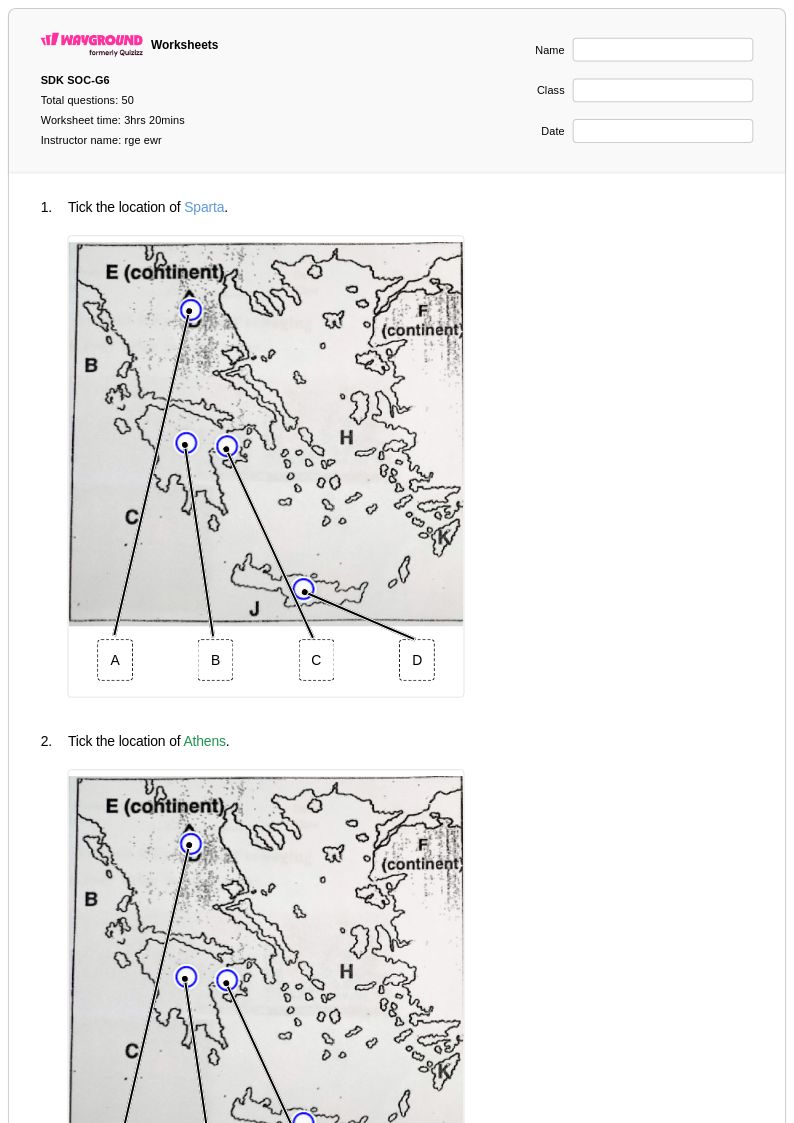
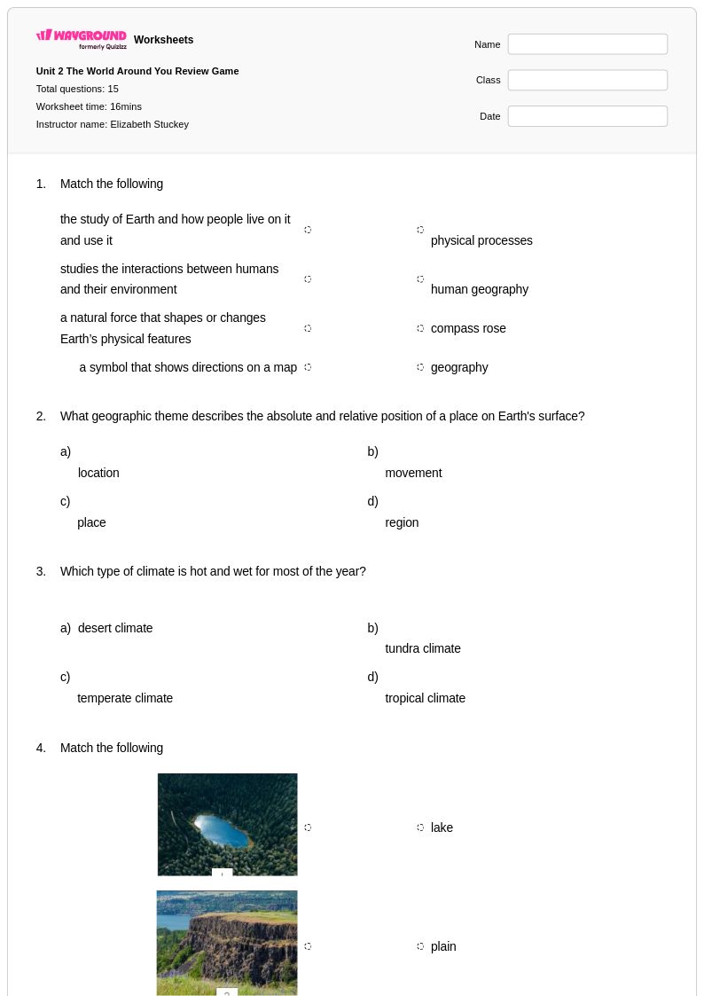
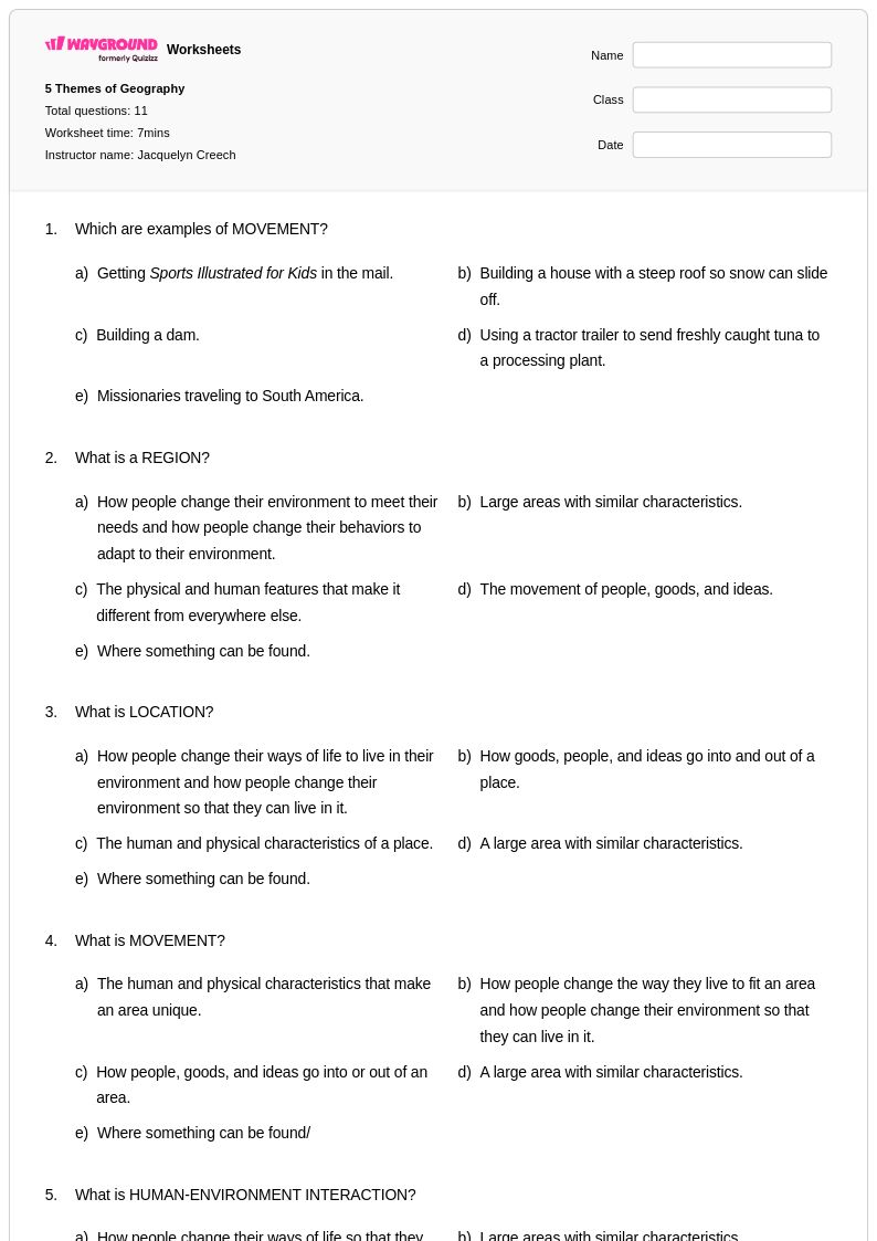
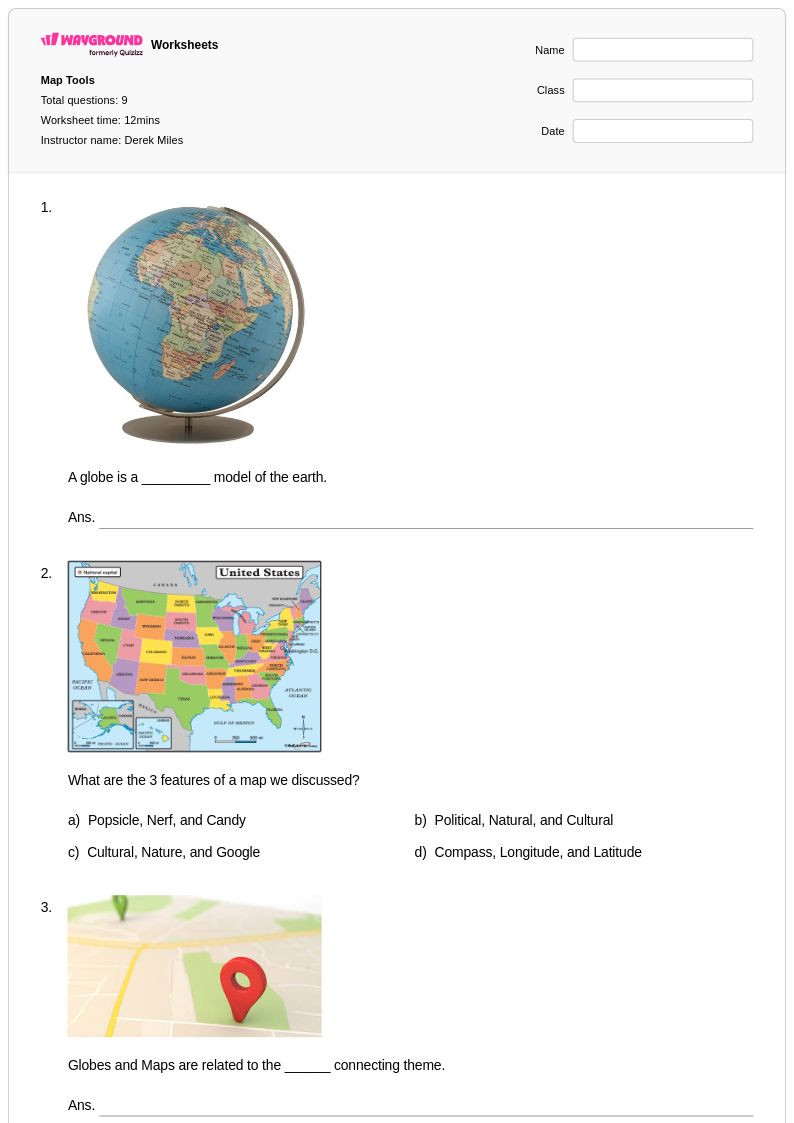
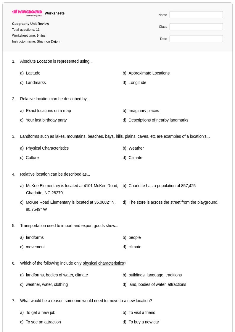
Absolute location worksheets for Year 3 students available through Wayground (formerly Quizizz) provide essential practice in understanding and using coordinate systems to identify exact positions on maps and globes. These carefully designed printables help young learners master the fundamental geography skill of locating places using latitude and longitude coordinates, grid references, and address systems. Each worksheet collection includes comprehensive practice problems that guide students through reading coordinate pairs, plotting points on grids, and identifying specific locations using precise geographic references. The accompanying answer key materials support both independent learning and teacher-led instruction, while the free pdf format ensures accessibility for classroom use and home practice. Students develop critical spatial reasoning abilities as they work through exercises that connect abstract coordinate concepts to real-world navigation and mapping applications.
Wayground (formerly Quizizz) empowers educators with millions of teacher-created absolute location resources that streamline lesson planning and enhance geographic instruction for Year 3 classrooms. The platform's robust search and filtering capabilities allow teachers to quickly locate worksheets aligned with state and national geography standards, ensuring content matches curriculum requirements and learning objectives. Differentiation tools enable educators to customize coordinate activities for diverse learning needs, while flexible formatting options provide both printable and digital versions that accommodate various teaching environments. These comprehensive worksheet collections support targeted remediation for students struggling with spatial concepts, enrichment opportunities for advanced learners, and systematic skill practice that builds confidence in using coordinate systems. Teachers can seamlessly integrate these resources into map skills units, assessment preparation, and cross-curricular activities that connect geography concepts with mathematics and critical thinking development.
FAQs
How do I teach absolute location to students?
Absolute location is best taught by first establishing what latitude and longitude lines represent on a globe or flat map, then having students practice reading coordinates in degrees. Start with well-known landmarks or capital cities so students can verify their answers intuitively. Once students grasp the coordinate system, introduce the distinction between absolute location and relative location to deepen geographic reasoning.
What exercises help students practice absolute location and coordinate systems?
Effective practice involves having students both read given coordinates to identify a place and reverse the process by finding the coordinates of a named location. Grid-based worksheets that require locating cities, landmarks, and geographic features using latitude and longitude reinforce both directions of the skill. Varied problem formats, including multiple choice, fill-in, and map-marking tasks, help build fluency across different question types.
What mistakes do students commonly make when working with latitude and longitude?
The most frequent error is reversing latitude and longitude, writing coordinates in the wrong order or confusing which axis each value describes. Students also commonly misread the degree scale on maps, especially when grid lines are spaced in increments larger than one degree. Another persistent misconception is conflating absolute location with relative location, using directional or landmark-based descriptions when a precise coordinate is required.
How do I differentiate absolute location instruction for students at different skill levels?
For students who are still developing map-reading skills, begin with simple whole-number coordinates on large-scale grids before introducing decimal degrees or minutes. More advanced students can work with coordinates that fall between labeled grid lines, requiring interpolation. On Wayground, teachers can apply accommodations such as reduced answer choices or read-aloud support to individual students, allowing the rest of the class to work with standard settings without any disruption.
How can I use Wayground's absolute location worksheets in my classroom?
Wayground's absolute location worksheets are available as printable PDFs for traditional classroom use and in digital formats for technology-integrated or remote learning environments. Teachers can also host the worksheets as a live quiz on Wayground, making it easy to assign as a formative check or graded activity. Each worksheet includes a complete answer key, which supports independent practice, homework assignments, and self-paced review.
How is absolute location different from relative location, and how do I teach both?
Absolute location identifies a place using a fixed coordinate system, specifically latitude and longitude, giving it a precise position that never changes regardless of perspective. Relative location describes where a place is in relation to other places, using language like 'north of' or 'near the river.' Teaching both concepts together is effective because the contrast clarifies why coordinates are necessary for precision, and comparing the two helps students recognize when each type of description is appropriate.