Explore Wayground's free Year 6 map scaling worksheets and printables that help students master geographic measurement concepts through engaging practice problems with comprehensive answer keys.
Explore printable Map Scaling worksheets for Year 6
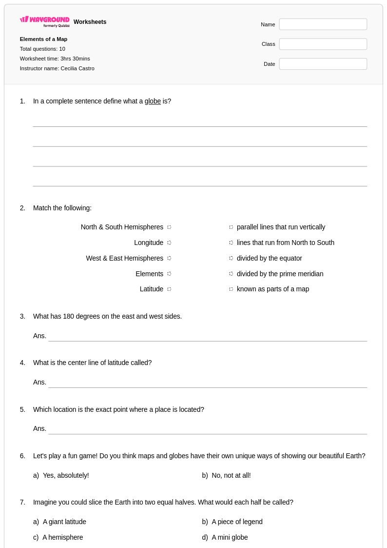
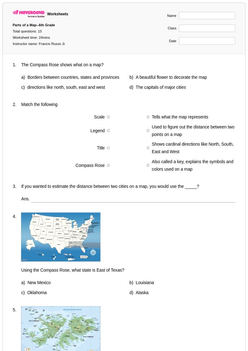
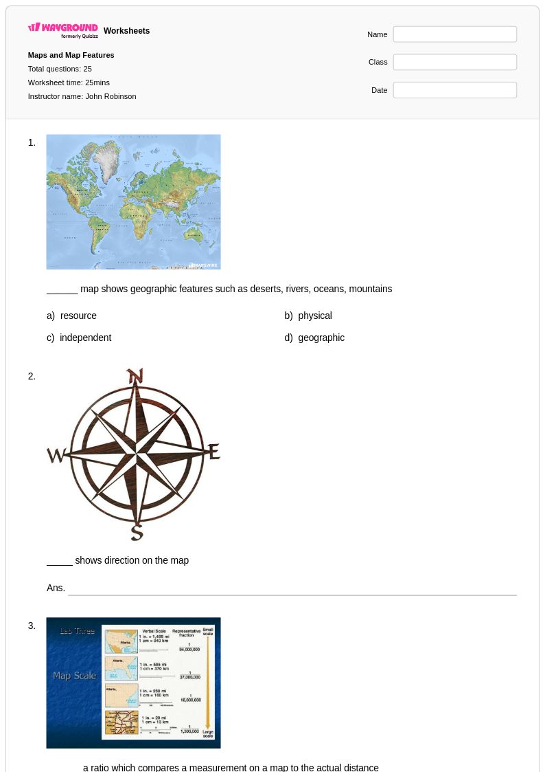
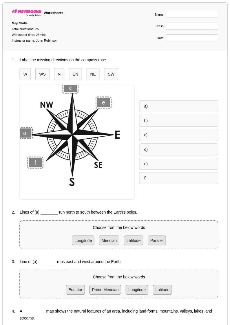
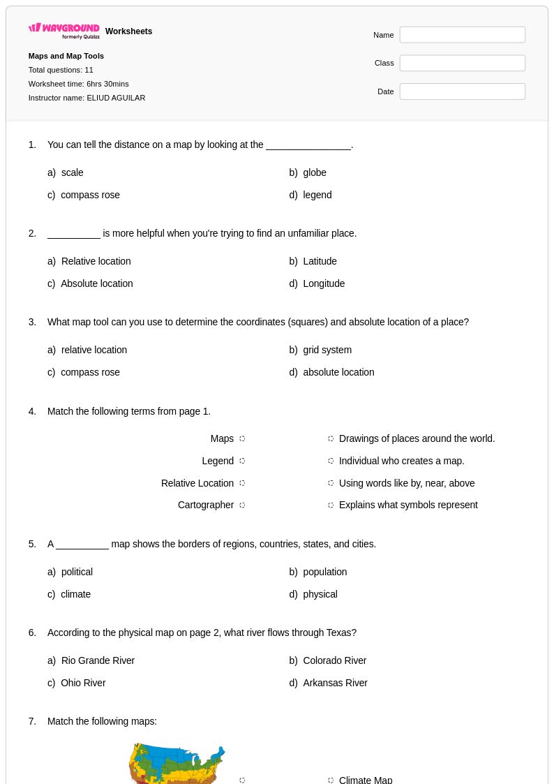
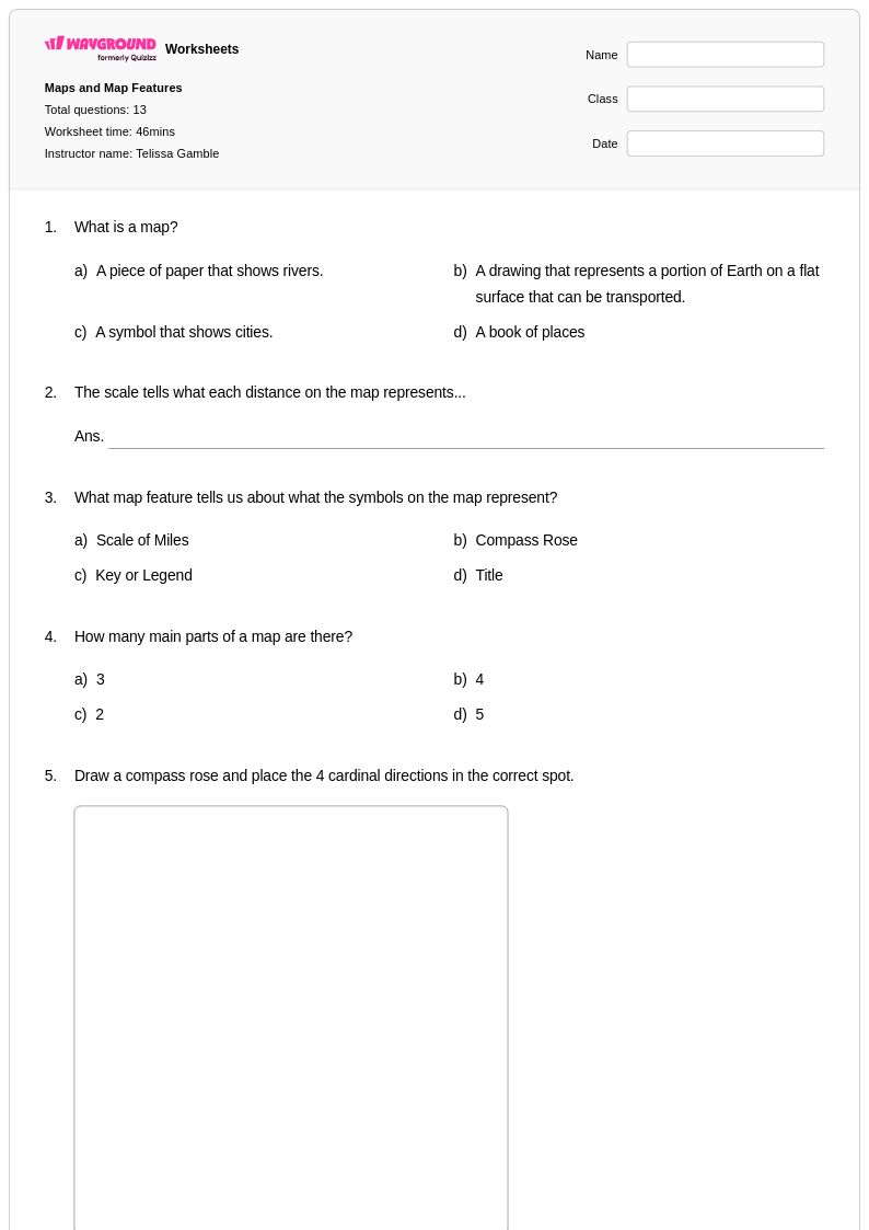
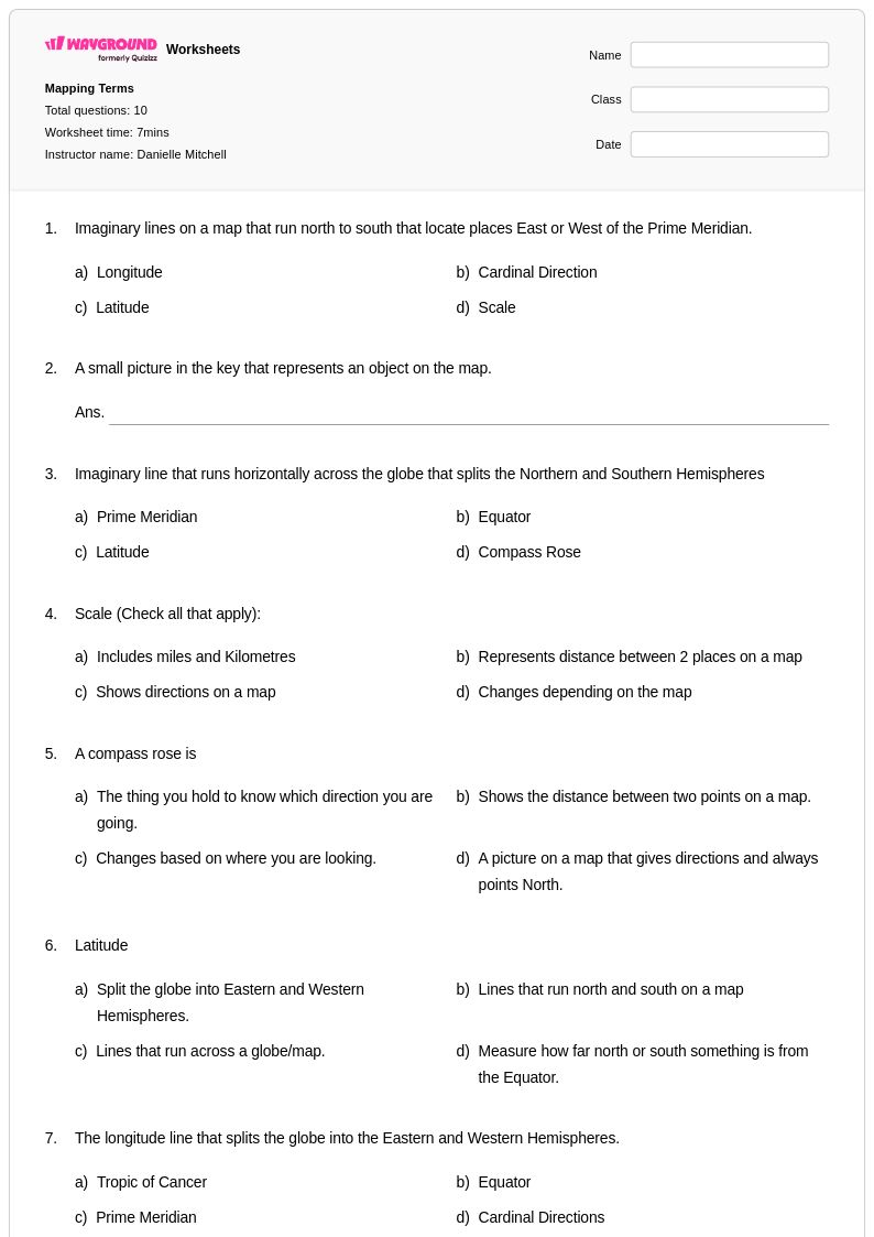
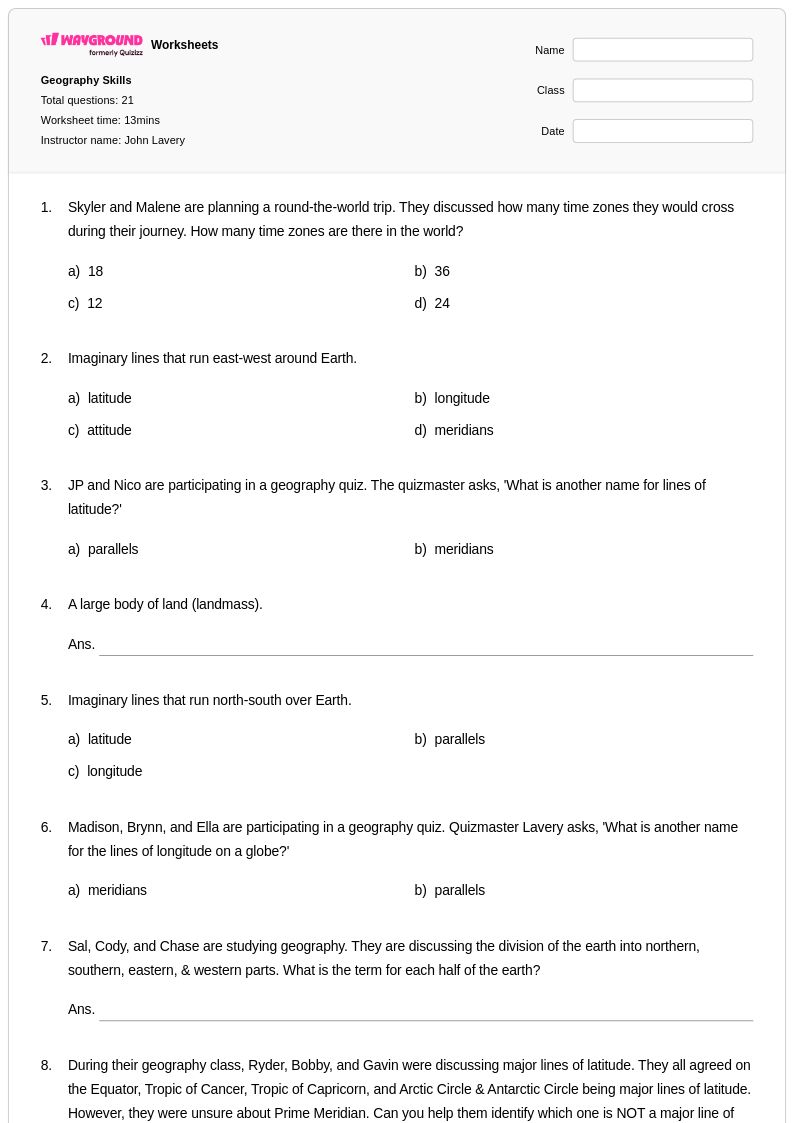
Map scaling worksheets for Year 6 students available through Wayground (formerly Quizizz) provide comprehensive practice in understanding and applying scale relationships on maps and diagrams. These educational resources strengthen critical geographic skills including calculating actual distances using map scales, converting between different scale formats, and interpreting scale ratios to solve real-world navigation problems. Students develop spatial reasoning abilities as they work through practice problems that require them to measure scaled distances, determine appropriate scales for different map purposes, and analyze how scale affects the level of detail shown on geographic representations. Each worksheet collection includes detailed answer keys and is available as free printables in pdf format, enabling teachers to seamlessly integrate map scaling instruction into their geography curriculum while providing students with the repetitive practice necessary to master these fundamental cartographic concepts.
Wayground (formerly Quizizz) supports educators with an extensive collection of teacher-created map scaling resources that can be easily searched, filtered, and customized to meet diverse classroom needs. The platform's millions of educational materials include worksheets aligned with geographic education standards, offering teachers the flexibility to differentiate instruction for students at varying skill levels within Year 6 geography programs. Advanced filtering tools allow educators to quickly locate resources that target specific map scaling competencies, while customization features enable teachers to modify existing worksheets or create new ones tailored to their lesson objectives. Available in both printable pdf formats and interactive digital versions, these resources support comprehensive lesson planning and provide teachers with versatile tools for skill practice, remediation sessions, and enrichment activities that deepen students' understanding of scale relationships in geographic contexts.
FAQs
How do I teach map scaling to students?
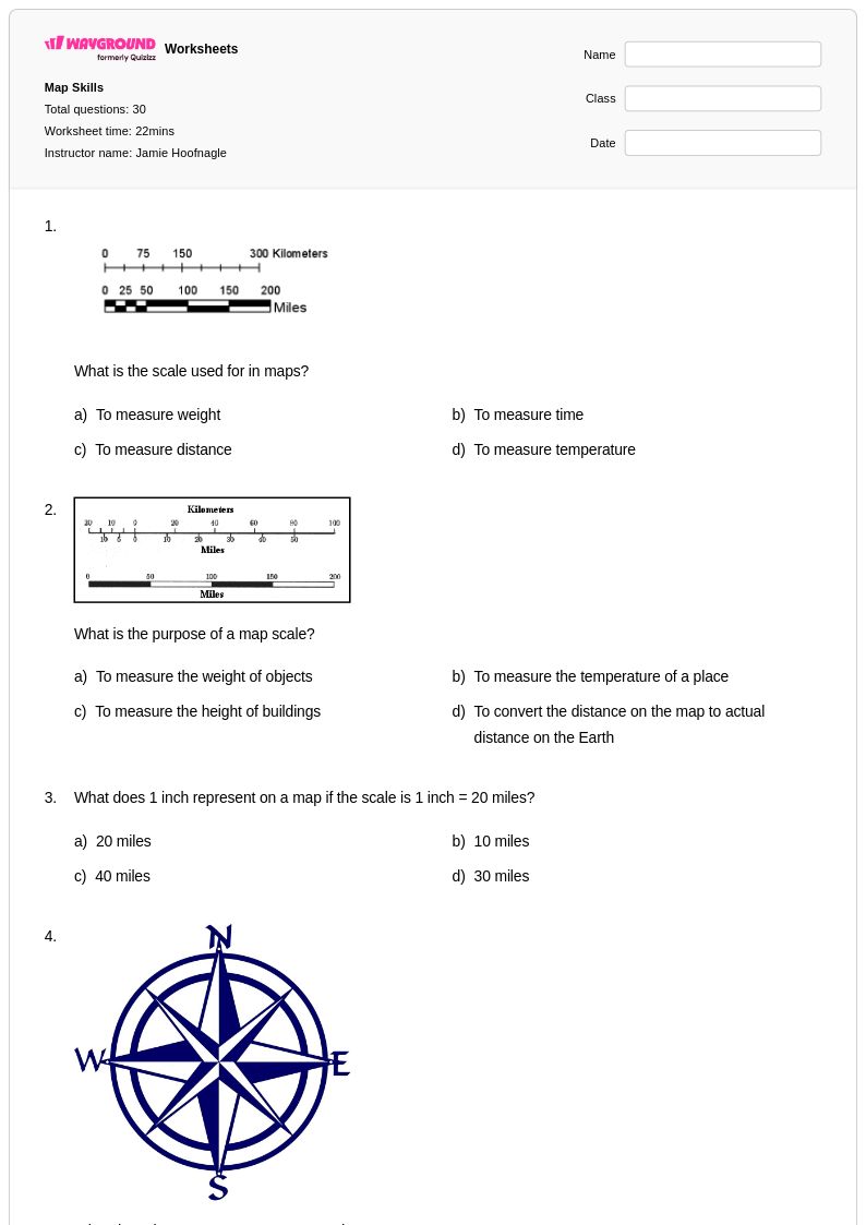
Start by introducing the three types of map scales: verbal scales (e.g., '1 inch = 10 miles'), graphic or bar scales, and representative fraction scales (e.g., 1:50,000). Use a familiar local map so students can anchor abstract scale concepts to real places they recognize. Progress from reading pre-labeled scales to having students calculate actual distances using a ruler and scale ratio. Concrete, hands-on measurement practice before abstract calculation significantly improves conceptual retention.
What exercises help students practice map scaling?
Effective practice exercises include measuring map distances with a ruler and converting them to real-world distances using a given scale, converting between verbal, graphic, and representative fraction scale formats, and working through multi-step problems that require students to determine the area or distance between two points. Worksheets that present all three scale types in a single problem set help students build fluency across formats rather than mastering only one representation.
What mistakes do students commonly make when working with map scales?
The most common error is unit confusion: students often forget to convert units consistently, such as applying a miles-based scale to a measurement taken in centimeters. A second frequent mistake is misreading bar scales by treating the entire graphic bar as one unit rather than reading the labeled increments correctly. Students also commonly invert the representative fraction, dividing map distance by actual distance instead of the reverse. Targeted practice problems that isolate each of these error types help students self-correct before the mistakes become habitual.
How do I differentiate map scaling instruction for students at different skill levels?
For students who are still building foundational skills, start with single-step problems using verbal scales before introducing graphic or representative fraction scales. More advanced learners can tackle multi-step problems that combine scale conversion with area calculation or route planning. On Wayground, teachers can apply accommodations such as reduced answer choices for students who need lower cognitive load, read-aloud support for those with reading challenges, and extended time settings for students who need additional processing time, all configurable per individual student without disrupting the rest of the class.
How can I use Wayground's map scaling worksheets in my classroom?
Wayground's map scaling worksheets are available as printable PDFs for traditional classroom use and in digital formats for technology-integrated learning environments, giving teachers flexibility depending on their instructional setup. Teachers can also host worksheets directly as a quiz on Wayground, allowing students to complete them interactively while the platform automatically grades responses using the included answer keys. This makes the worksheets equally effective for in-class practice, homework, or low-stakes formative assessment.
What is the difference between a verbal scale, a graphic scale, and a representative fraction on a map?
A verbal scale expresses the relationship between map distance and real-world distance in plain language, such as '1 centimeter equals 5 kilometers.' A graphic or bar scale shows this relationship visually as a labeled line or bar on the map itself, which remains accurate even if the map is resized. A representative fraction (RF) expresses the ratio numerically, such as 1:500,000, meaning one unit on the map equals 500,000 of the same units in reality. Students need to be comfortable working with all three formats because maps in textbooks, atlases, and digital tools use each one.