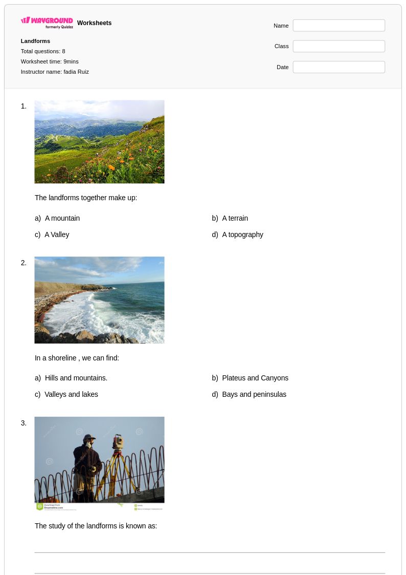
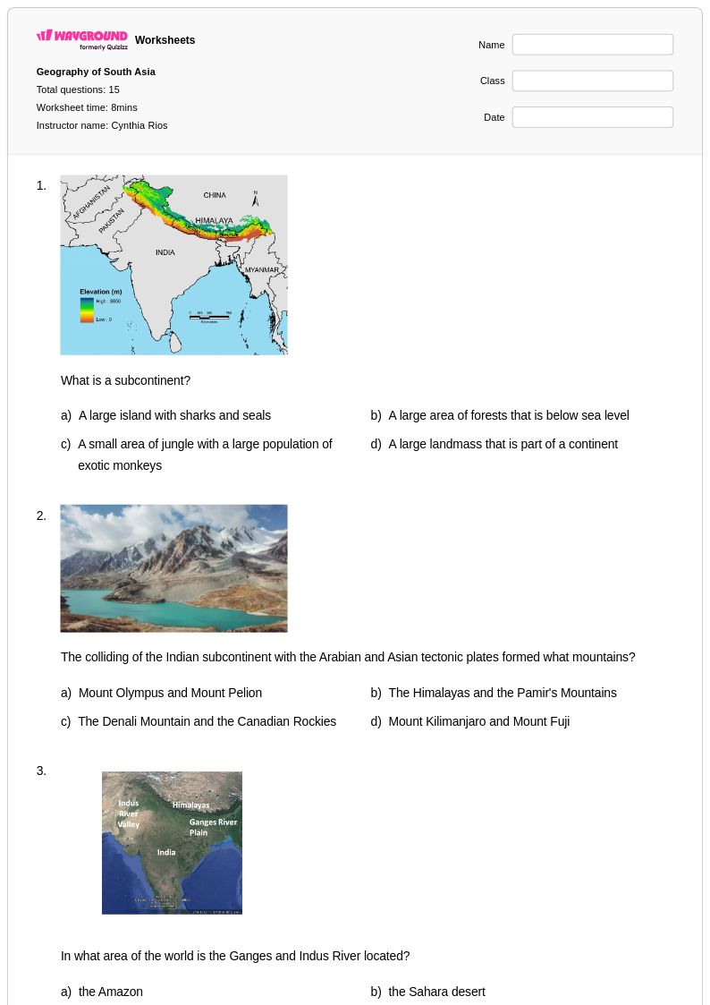
Year 5 mountains worksheets and printables help students explore mountain formation, types, and global ranges through engaging practice problems, free PDF downloads, and comprehensive answer keys for effective geography learning.
Mountains worksheets for Year 5 students through Wayground (formerly Quizizz) provide comprehensive educational resources that help young learners explore Earth's most dramatic landforms and understand their formation, characteristics, and global significance. These carefully designed worksheets strengthen essential geography skills including map reading, landform identification, understanding elevation and topography, and analyzing how mountains influence climate, ecosystems, and human settlement patterns. Students engage with practice problems that challenge them to identify major mountain ranges worldwide, compare volcanic and folded mountain formation processes, and examine how altitude affects weather and vegetation zones. Each worksheet comes with a detailed answer key to support independent learning and self-assessment, while the free printable pdf format ensures easy classroom distribution and homework assignments.
Wayground (formerly Quizizz) empowers educators with an extensive collection of teacher-created mountain geography resources, drawing from millions of high-quality worksheets that align with national social studies standards for fifth-grade learners. The platform's robust search and filtering capabilities allow teachers to quickly locate materials targeting specific mountain-related concepts, from basic landform vocabulary to more complex topics like orographic precipitation and mountain ecosystem adaptation. These differentiation tools enable seamless customization for diverse learning needs, whether supporting struggling students with foundational mountain identification exercises or challenging advanced learners with comparative analysis activities. Available in both printable and digital formats including downloadable pdfs, these versatile resources streamline lesson planning while providing flexible options for skill practice, remediation sessions, and enrichment activities that deepen students' understanding of how mountains shape our planet's physical and human geography.
FAQs
How do I teach mountain formation to students?
Teaching mountain formation works best when students can connect the three main formation types to the tectonic forces behind them: fold mountains form from colliding plates, fault-block mountains from fractures in the crust, and volcanic mountains from magma activity. Using cross-section diagrams alongside real-world examples like the Himalayas, Sierra Nevada, and Cascades helps students visualize processes that unfold over millions of years. Pairing visual models with structured note-taking or comparison activities reinforces the distinctions between formation types and prepares students for map and elevation work.
What exercises help students practice reading topographic maps of mountains?
Effective topographic map practice involves having students identify contour lines, calculate elevation changes between intervals, and determine slope steepness by analyzing how closely lines are spaced. Exercises that ask students to trace a hiking route and predict terrain changes, or to compare two mountain profiles side by side, build spatial reasoning alongside map literacy. Worksheets that integrate labeled diagrams with short-answer questions help students connect the abstract contour representation to real mountain terrain.
What common mistakes do students make when learning about mountain types?
The most frequent misconception is that all mountains are volcanic, since volcanic mountains are the most visually dramatic and culturally prominent. Students also commonly confuse fold mountains with fault-block mountains, failing to distinguish between compression forces and tension forces in the crust. Another error is conflating elevation with altitude effects on climate, not understanding why temperature decreases as elevation increases even in tropical mountain regions.
How does altitude affect climate and ecosystems in mountain regions?
As altitude increases, atmospheric pressure drops and temperatures decrease at a rate of roughly 3.5°F per 1,000 feet, which creates distinct vegetation zones from base to summit. This is why a single mountain can support tropical forest at its base, temperate woodland in the middle elevations, and alpine tundra near the summit. Teaching students to map these biome transitions vertically is an effective way to reinforce both climate science and ecosystem concepts simultaneously.
How do I use Wayground's mountains worksheets in my classroom?
Wayground's mountains worksheets are available as printable PDFs for traditional classroom use and in digital formats for technology-integrated learning environments, and teachers can also host them as a quiz directly on Wayground. This flexibility makes them suitable for in-class instruction, independent practice, homework assignments, or remote learning. Each worksheet includes a complete answer key, so teachers can use them for guided practice, self-assessment, or formative review without additional preparation.
How can I differentiate mountains worksheets for students with different learning needs?
On Wayground, teachers can apply individual student accommodations including extended time, read-aloud support for students who need questions read to them, and reduced answer choices to lower cognitive load for students who need it. Font size and display themes can also be adjusted through reading mode for accessibility. These settings are saved per student and reapply automatically in future sessions, so differentiation requires no repeated setup.