Free Printable Population Density Worksheets for Year 6
Free Year 6 population density worksheets and printables help students explore demographic patterns, analyze population distribution maps, and solve practice problems with detailed answer keys through engaging PDF activities.
Explore printable Population Density worksheets for Year 6
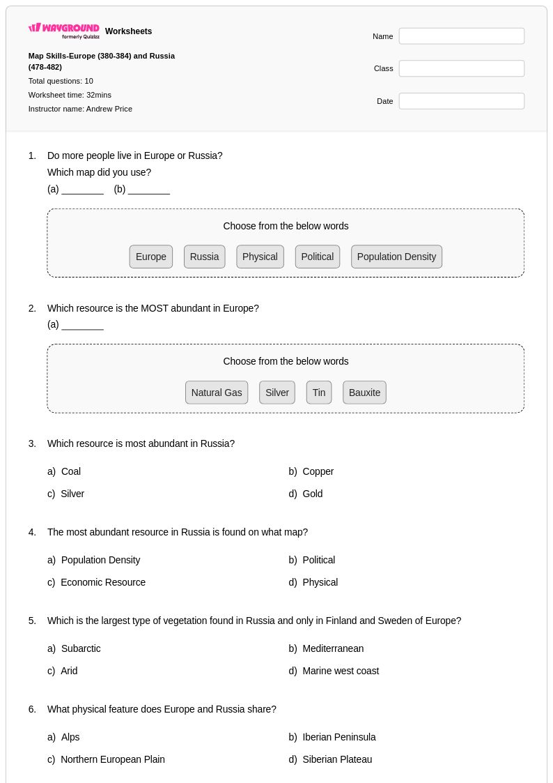
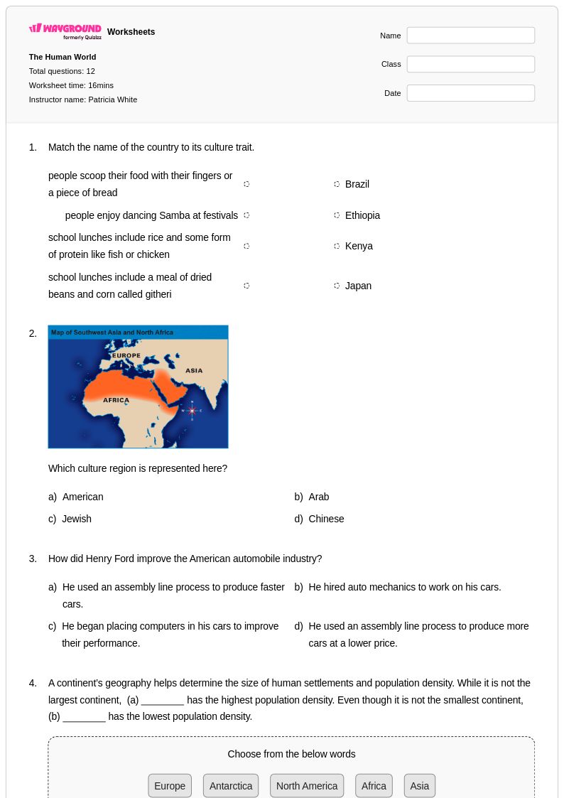
Population density worksheets for Year 6 students available through Wayground (formerly Quizizz) provide comprehensive practice in understanding how human populations are distributed across different geographic regions and the factors that influence these patterns. These educational resources strengthen critical analytical skills by engaging students with real-world data interpretation, map reading exercises, and mathematical calculations involving people per square mile or kilometer. Students work through practice problems that examine crowded urban centers versus sparsely populated rural areas, learning to identify the environmental, economic, and social factors that create these demographic variations. Each worksheet collection includes detailed answer keys and free printables that guide students through progressively challenging scenarios, from basic density calculations to complex comparisons between countries, states, and metropolitan regions.
Wayground (formerly Quizizz) supports educators with an extensive library of millions of teacher-created population density resources that streamline lesson planning and enhance classroom instruction for Year 6 social studies curricula. The platform's robust search and filtering capabilities allow teachers to quickly locate materials aligned with specific educational standards while accessing differentiation tools that accommodate diverse learning needs within the classroom. These customizable worksheets are available in both printable pdf formats and interactive digital versions, enabling flexible implementation for in-person instruction, homework assignments, or remote learning environments. Teachers utilize these comprehensive collections for targeted skill practice, remediation support for struggling learners, and enrichment opportunities for advanced students, ensuring that population density concepts are thoroughly mastered through varied instructional approaches and assessment methods.
FAQs
How do I teach population density to students?
Start by grounding students in the core formula: population density equals total population divided by land area. From there, use real-world examples that contrast dense urban areas like Manhattan with sparse rural regions to make the concept tangible. Layering in demographic maps helps students visualize how density varies across geographic space, which builds both spatial reasoning and quantitative skills simultaneously.
What exercises help students practice calculating population density?
Practice problems that use real-world data are most effective for building fluency with population density calculations. Students benefit from working through problems that require them to calculate density ratios, compare urban and rural distributions, and interpret demographic maps. Exercises that ask students to explain why certain regions are densely or sparsely populated add an analytical layer that reinforces geographic reasoning alongside the math.
What mistakes do students commonly make when calculating population density?
The most frequent error is confusing total population with population density, leading students to rank places by raw population rather than people per unit of area. Students also commonly misapply the formula by dividing land area by population instead of the reverse. A related misconception is assuming that a large country must have high population density, which targeted practice problems using contrasting examples can directly address.
How can I use population density worksheets to support different learners in my classroom?
Population density worksheets can be differentiated by adjusting the complexity of the data sets students work with, starting remedial learners with whole-number populations and simple land areas before progressing to multi-step problems. On Wayground, teachers can apply individual accommodations such as read aloud for students who need audio support, reduced answer choices to lower cognitive load, and extended time, all configurable per student without affecting the rest of the class.
How do I use Wayground's population density worksheets in my class?
Wayground's population density worksheets are available as printable PDFs for traditional classroom use and in digital formats for technology-integrated environments, giving teachers flexibility regardless of their classroom setup. Teachers can also host the worksheets as a live quiz directly on Wayground. Each worksheet includes a complete answer key, making it straightforward to use for guided practice, independent work, or assessment without additional prep.
How does population density connect to broader geography and social studies standards?
Population density sits at the intersection of human geography, quantitative reasoning, and spatial analysis, making it relevant across multiple curriculum standards. Understanding density patterns helps students analyze settlement decisions, resource distribution, urbanization trends, and the geographic implications of demographic change. This makes population density a high-leverage topic for building geographic literacy that transfers to broader units on migration, urban development, and environmental impact.