Explore Wayground's free Year 5 rivers worksheets and printables that help students learn about river systems, formations, and their geographic importance through engaging practice problems with comprehensive answer keys.
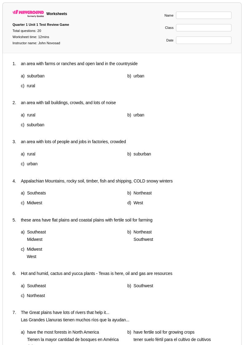
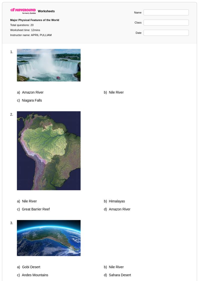
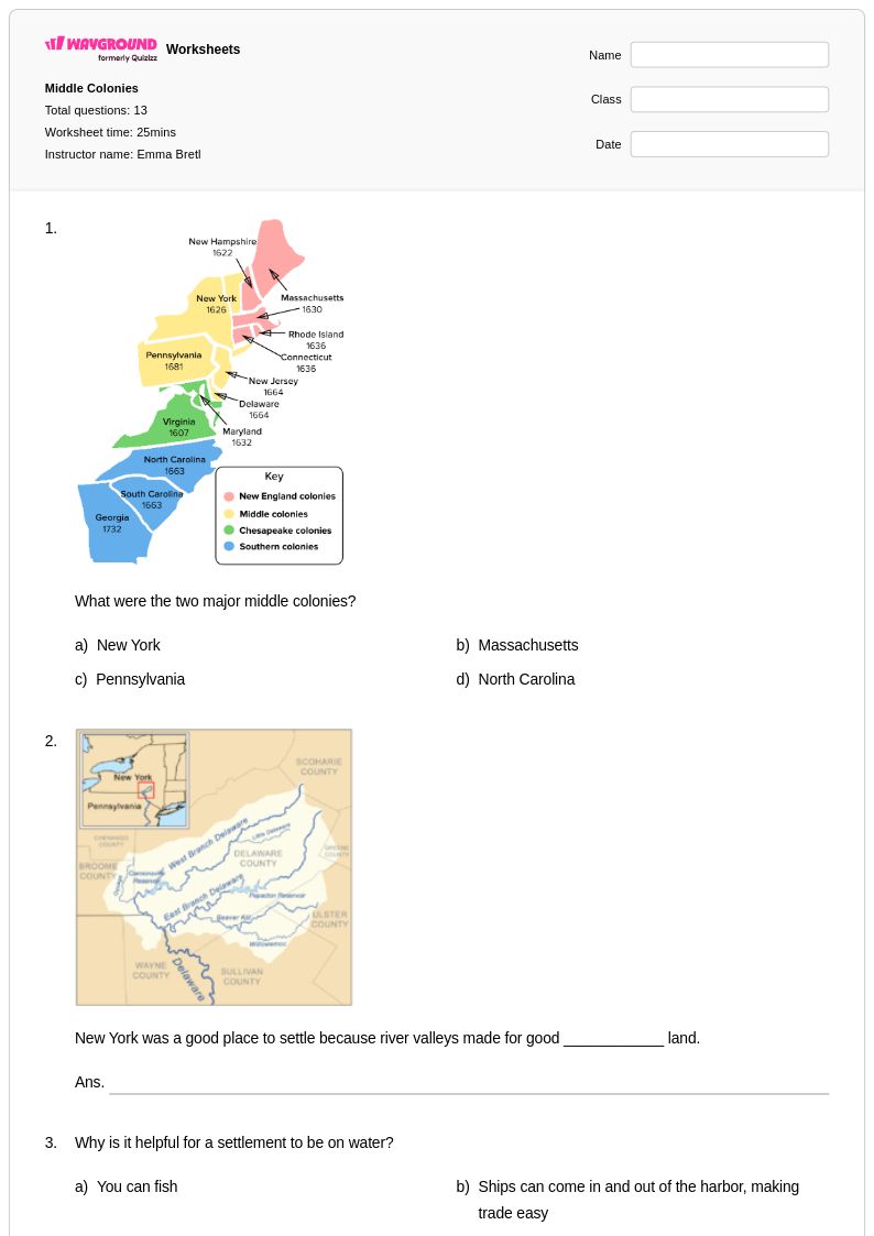
Rivers worksheets for Year 5 students available through Wayground (formerly Quizizz) provide comprehensive exploration of these vital water systems and their geographic significance. These educational resources strengthen students' understanding of river formation, flow patterns, major world rivers, and the critical role waterways play in shaping landscapes and human civilizations. The collection includes practice problems that challenge students to identify river features such as tributaries, deltas, and watersheds, while answer key materials support both independent learning and classroom instruction. Free printable worksheets cover topics ranging from the water cycle's connection to river systems to how rivers influence settlement patterns, agriculture, and transportation networks across different regions of the world.
Wayground (formerly Quizizz) supports educators with an extensive collection of teacher-created river geography resources, drawing from millions of high-quality materials that align with social studies standards for fifth-grade learners. The platform's robust search and filtering capabilities enable teachers to quickly locate worksheets that match specific curriculum requirements, whether focusing on local waterways or internationally significant rivers like the Nile, Amazon, or Mississippi. Differentiation tools allow instructors to customize content complexity for diverse learning needs, while flexible formatting options provide both digital and pdf printable versions for seamless integration into lesson plans. These features streamline instructional planning while offering targeted resources for remediation, enrichment activities, and systematic skill practice that helps students master essential geographic concepts about river systems and their global importance.
FAQs
How do I teach river systems and freshwater geography to students?
Teaching river systems effectively starts with building conceptual understanding of how rivers form through precipitation, runoff, and gravity before moving into watershed dynamics and erosion and deposition processes. Using topographic maps alongside direct instruction helps students connect physical geography concepts to real-world landscapes. Pairing map interpretation activities with lessons on how rivers have shaped human settlement patterns and economic development gives students a meaningful context for the physical processes they are learning.
What kinds of practice activities help students understand rivers in geography?
Effective practice for rivers geography includes analyzing river system diagrams, interpreting topographic maps to identify drainage basins and watershed boundaries, and examining case studies that connect river processes to human activity. Activities that ask students to trace the path of a river from source to mouth while identifying erosion and deposition zones reinforce the physical processes in a sequential, visual way. Practice problems that link river characteristics to settlement patterns or economic development also build the critical geographic literacy students need for assessments.
What mistakes do students commonly make when learning about rivers and watersheds?
A common misconception is that rivers always flow from north to south — students need explicit instruction that rivers flow downhill according to elevation, not compass direction. Students also frequently confuse erosion and deposition, struggling to identify which process is dominant at different points along a river's course, such as the upper course versus the floodplain. When working with watersheds, students often fail to recognize that all land within a drainage basin contributes runoff to the same river system, which requires careful map-reading practice to internalize.
How can I use rivers worksheets in both print and digital classroom settings?
Rivers worksheets on Wayground are available as printable PDFs, making them easy to distribute in traditional classroom settings, and in digital formats for technology-integrated environments. Teachers can also host them as a quiz directly on Wayground, which allows for streamlined digital assignment and immediate student response tracking. Each worksheet includes a complete answer key, supporting both self-paced independent study and teacher-led instruction regardless of the format used.
How do I differentiate rivers geography instruction for students with different learning needs?
For students who need additional support, reducing the complexity of map-reading tasks and providing labeled reference diagrams of river features can lower the cognitive barrier to entry. On Wayground, teachers can apply individual accommodations such as read-aloud support for students who struggle with text-heavy questions, extended time for students who need more processing time, and reduced answer choices to decrease cognitive load on selected assessments. These settings can be applied per student without affecting the experience of the rest of the class, making differentiation manageable within a single rivers unit.
How do I connect rivers geography to broader curriculum standards?
Rivers geography connects directly to physical geography and earth science standards covering erosion, landforms, and the water cycle, as well as human geography standards addressing settlement patterns, resource use, and economic development. When planning lessons, aligning river formation and watershed content to state or national geography standards ensures the material serves both conceptual learning goals and assessment preparation. Wayground's standards alignment features help teachers identify which worksheets match their specific curriculum requirements, reducing planning time.