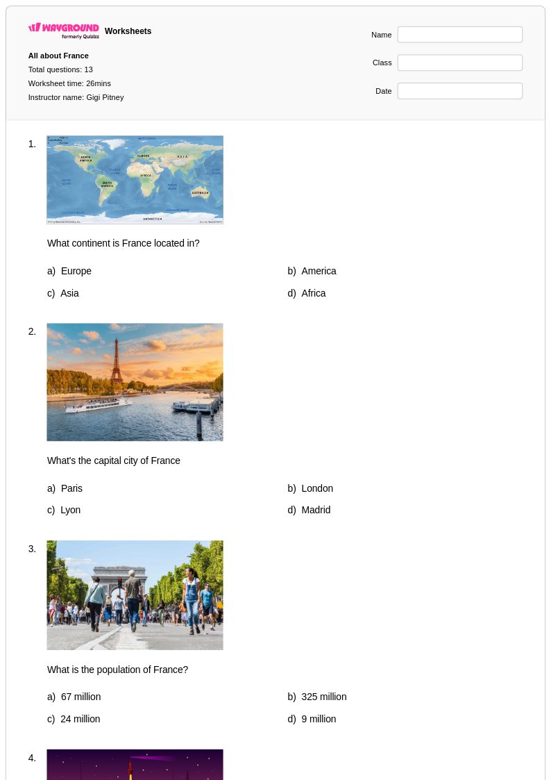
Explore Grade 1 France geography worksheets and printables through Wayground that help young students discover French culture, landmarks, and basic map skills with engaging practice problems and comprehensive answer keys.
France worksheets for Grade 1 students through Wayground (formerly Quizizz) introduce young learners to foundational geographic concepts about this European nation through age-appropriate activities and visual learning materials. These educational resources strengthen essential skills including basic map reading, cultural awareness, and geographic vocabulary development while building students' understanding of how people live in different places around the world. The collection includes engaging practice problems that help first graders identify France's location, recognize famous landmarks like the Eiffel Tower, and explore French customs and traditions. Teachers can access comprehensive materials with answer key support, and many resources are available as free printables in convenient pdf format, making classroom implementation seamless for educators seeking to expand their students' global awareness.
Wayground (formerly Quizizz) empowers teachers with millions of educator-created France geography resources specifically designed for Grade 1 learners, featuring robust search and filtering capabilities that allow instructors to quickly locate materials aligned with their curriculum standards and learning objectives. The platform's differentiation tools enable teachers to customize worksheets based on individual student needs, while flexible formatting options provide both printable and digital versions including downloadable pdf files for maximum classroom versatility. These comprehensive features support effective lesson planning by offering educators multiple pathways for skill practice, targeted remediation for students who need additional support, and enrichment opportunities for advanced learners, ensuring that all first graders can successfully engage with introductory concepts about French geography and culture at their appropriate developmental level.
FAQs
How do I teach France geography to students effectively?
Start with France's physical geography — its major rivers like the Seine and Rhône, mountain ranges like the Alps and Pyrenees, and coastal regions along the Mediterranean and Atlantic. From there, layer in political geography by having students locate major cities such as Paris, Lyon, and Marseille on maps. Connecting physical features to human settlement patterns helps students understand why French cities and regions developed where they did.
What exercises help students practice identifying French regions and landmarks?
Labeling maps of France's major cities, rivers, and mountain ranges is one of the most effective practice formats because it builds both recall and spatial reasoning simultaneously. Worksheets that ask students to match physical features to their geographic descriptions or place them within the broader European context reinforce terminology and location knowledge together. Practice problems that connect landmarks to their regions — such as the Alps to southeastern France or the Loire Valley to central France — help students move beyond memorization toward meaningful geographic understanding.
What mistakes do students commonly make when learning about France's geography?
A frequent misconception is treating France as a single uniform landscape when it actually spans several distinct physical regions, from alpine terrain in the east to flat coastal plains in the west and northwest. Students also commonly confuse France's major rivers — particularly the Seine, Loire, and Rhône — misidentifying which cities sit along which waterways. Another common error is underestimating France's size and geographic diversity relative to its neighbors, which affects students' ability to interpret its regional influence within Europe.
How can I use France geography worksheets in my classroom?
France geography worksheets on Wayground are available as printable PDFs for traditional classroom use and in digital formats for technology-integrated environments, making them suitable for in-person, hybrid, and remote settings. Teachers can also host the worksheets as a quiz directly on Wayground, which allows for real-time student responses and easier progress tracking. Each worksheet includes a complete answer key, reducing prep time and making them practical for both guided instruction and independent practice.
How does France's location in Europe make it an important topic in geography class?
France's position at the western edge of continental Europe gives it borders with eight countries, including Germany, Spain, and Italy, making it a natural focal point for lessons on European political geography and trade routes. Its diverse terrain — spanning the Alps, the Pyrenees, major river systems, and two coastlines — makes it an ideal case study for connecting physical geography to human activity. Teaching France's geographic significance helps students build a transferable framework for analyzing how location and landscape shape a nation's role in regional and global contexts.
How do I differentiate France geography worksheets for students at different skill levels?
For students who are still building foundational skills, start with basic map labeling tasks focused on major cities and borders before introducing physical features or regional analysis. More advanced learners can be challenged with questions that connect France's geography to its economic activity, cultural regions, or historical significance. On Wayground, teachers can apply accommodations such as read aloud support, reduced answer choices, and extended time to individual students, ensuring that differentiation is built into the assignment rather than managed separately.