Free Printable Countries in Europe Worksheets for Class 3
Class 3 students can explore Countries in Europe through our free printable worksheets and practice problems, featuring engaging activities with answer keys to build geography knowledge and cultural awareness.
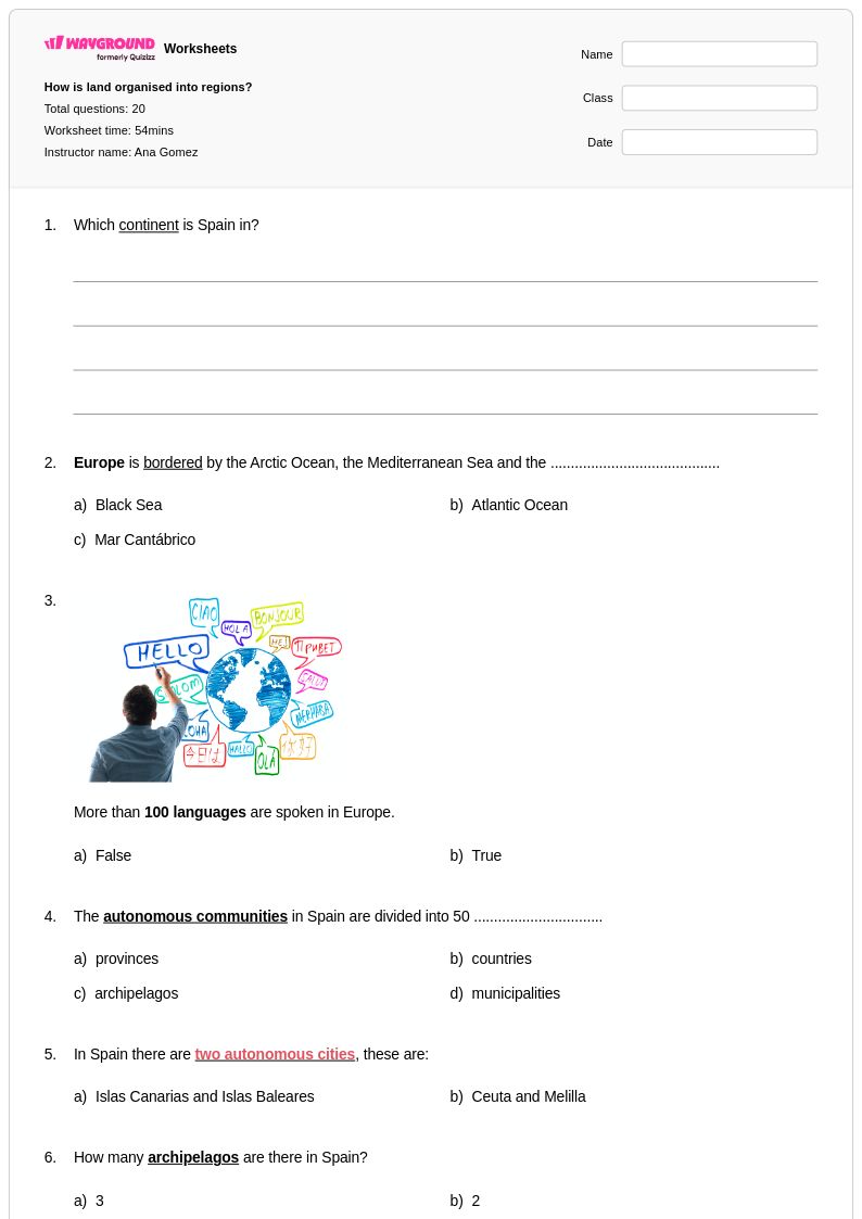
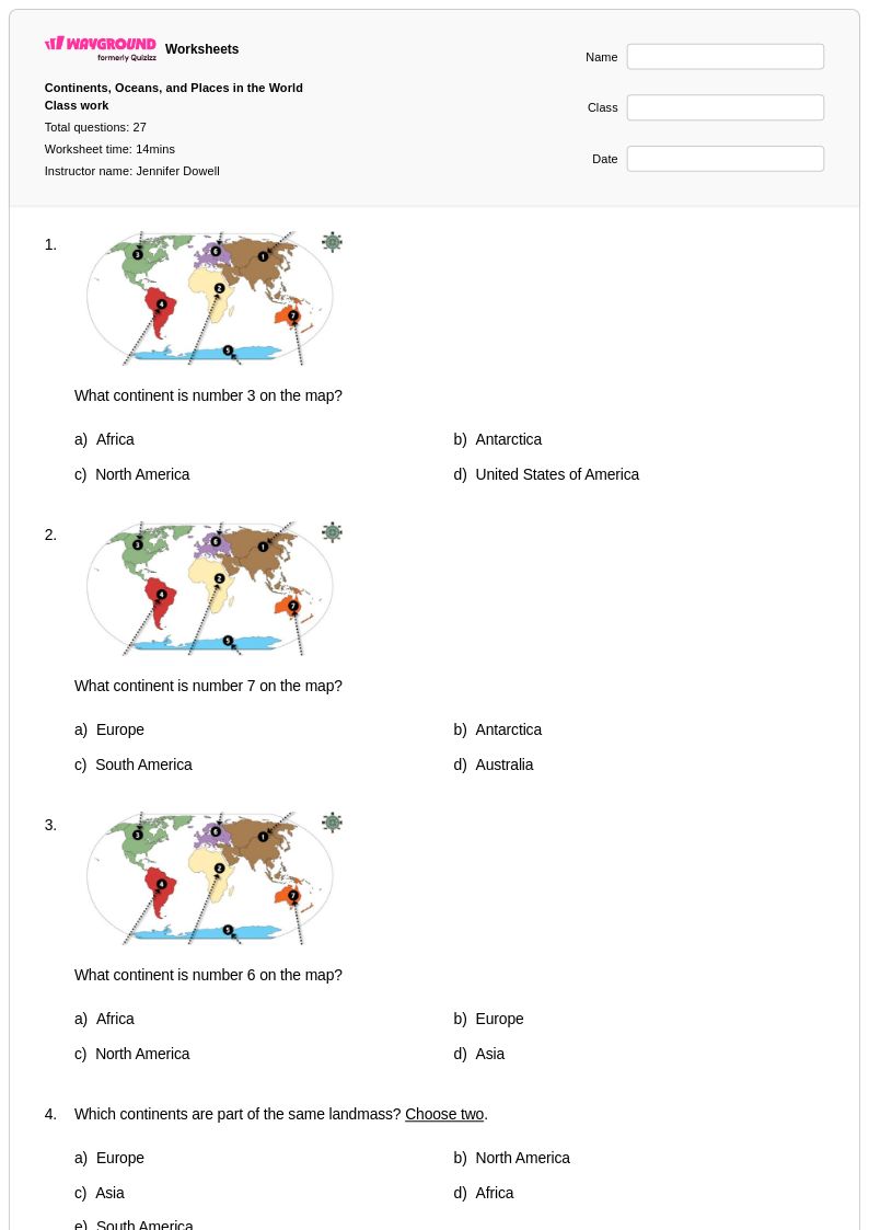
Explore printable Countries in Europe worksheets for Class 3
Countries in Europe worksheets for Class 3 students available through Wayground (formerly Quizizz) provide comprehensive learning opportunities that introduce young learners to the diverse nations that make up the European continent. These educational materials strengthen essential geography skills including map reading, country identification, capital city recognition, and basic cultural awareness through engaging practice problems that make learning about European geography both accessible and enjoyable. The worksheet collection includes various formats such as printable pdf resources with corresponding answer keys, allowing teachers to seamlessly integrate these free materials into their classroom instruction while supporting different learning styles and assessment needs.
Wayground (formerly Quizizz) supports educators with an extensive collection of teacher-created resources focused on European countries, drawing from millions of high-quality educational materials that can be easily accessed through robust search and filtering capabilities. These worksheets align with grade-level geography standards and offer flexible customization options that enable teachers to differentiate instruction for diverse learners, whether they need additional practice with basic country identification or enrichment activities exploring European cultures and landmarks. Available in both printable and digital formats including downloadable pdf versions, these resources streamline lesson planning while providing effective tools for remediation, skill reinforcement, and formative assessment in elementary geography education.
FAQs
How do I teach students to identify countries in Europe?
Start by introducing Europe's major regions — Western, Eastern, Northern, Southern, and Central — and anchor country identification to landmarks, borders, and capitals rather than isolated memorization. Using labeled and blank map exercises progressively builds spatial awareness, so students first locate countries with visual support before working independently. Pairing map work with brief country profiles that highlight capitals, borders, and distinctive characteristics gives students multiple memory hooks for each nation.
What exercises help students practice locating countries in Europe?
Blank map fill-in exercises are among the most effective tools for practicing European country identification because they require active recall rather than passive recognition. Comparative exercises that ask students to identify shared borders, group countries by region, or match capitals to nations deepen spatial reasoning beyond simple labeling. Repeated low-stakes practice through varied formats — such as map quizzes, country-matching tasks, and region-sorting activities — reinforces retention over time.
What mistakes do students commonly make when learning European countries?
Students frequently confuse geographically close countries with similar shapes, such as Austria and Switzerland, or conflate the Baltic states — Estonia, Latvia, and Lithuania. Another common error is misidentifying capitals, particularly for smaller or less frequently studied nations like Slovenia or Moldova. Students also tend to underestimate the number of countries in Europe and may group regions incorrectly, placing Eastern European nations into Central Europe or vice versa.
How can I differentiate European geography instruction for mixed-ability learners?
For students who need additional support, begin with a limited set of larger or more recognizable countries before expanding to the full continent, and provide partially labeled maps as scaffolding. For advanced learners, extend tasks to include comparative analysis of regions, border changes over time, or connections between geography and culture. On Wayground, teachers can apply accommodations such as reduced answer choices or read-aloud support to individual students, allowing differentiated practice within the same assignment without disrupting the rest of the class.
How do I use Countries in Europe worksheets from Wayground in my classroom?
Wayground's Countries in Europe worksheets are available as printable PDFs for traditional classroom use and in digital formats for technology-integrated environments, giving teachers flexibility for homework, in-class review, or quiz preparation. Digital worksheets can also be hosted as a quiz directly on Wayground, enabling real-time tracking of student responses. Each worksheet includes a complete answer key, which supports both self-paced independent learning and efficient teacher-led correction.
How do I help students remember European capitals alongside country locations?
Teaching capitals in context — paired with the country's location on a map — is more effective than memorizing them as a separate list. Associative strategies, such as connecting a capital's name to a memorable word or linking it to a geographic feature nearby, help students retain information longer. Regular mixed-format practice that alternates between identifying countries and their capitals reinforces both skills simultaneously and prevents students from learning them as disconnected facts.