Free Printable Mapping Skills Worksheets for Class 8
Class 8 mapping skills worksheets from Wayground help students master essential geographic techniques through engaging printables and practice problems that develop map reading, scale interpretation, and coordinate system understanding with comprehensive answer keys.
Explore printable Mapping Skills worksheets for Class 8
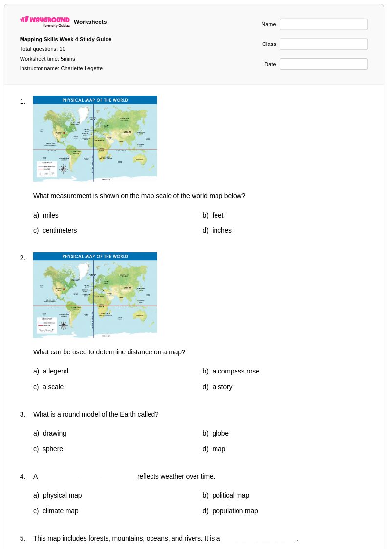
Class 8 mapping skills worksheets available through Wayground (formerly Quizizz) provide comprehensive practice in essential cartographic competencies that form the foundation of geographic literacy. These expertly designed resources strengthen students' abilities to interpret coordinate systems, analyze topographic features, calculate scale and distance, and decode various map symbols and legends. The worksheet collections include detailed practice problems covering latitude and longitude identification, contour line interpretation, and map projection understanding, all accompanied by comprehensive answer keys that facilitate both independent study and classroom instruction. Available as free printable resources and downloadable pdf formats, these materials systematically build proficiency in reading physical, political, and thematic maps while developing critical spatial reasoning skills essential for advanced geographic analysis.
Wayground (formerly Quizizz) empowers educators with an extensive library of millions of teacher-created mapping skills resources specifically curated for Class 8 social studies instruction. The platform's robust search and filtering capabilities allow teachers to quickly locate worksheets aligned with state and national geography standards, while built-in differentiation tools enable seamless customization for diverse learning needs and ability levels. These comprehensive collections are available in both printable and digital formats, including easily downloadable pdf versions, making them ideal for classroom instruction, homework assignments, remediation support, and enrichment activities. The flexible customization features allow educators to modify existing worksheets or combine multiple resources to create targeted practice sessions that address specific mapping concepts, whether for whole-class instruction, small group work, or individualized skill development in geographic analysis and cartographic interpretation.
FAQs
How do I teach map reading and mapping skills to students?
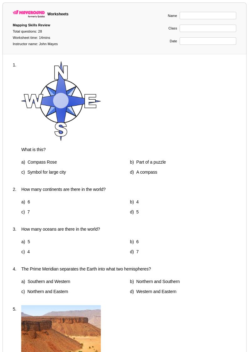
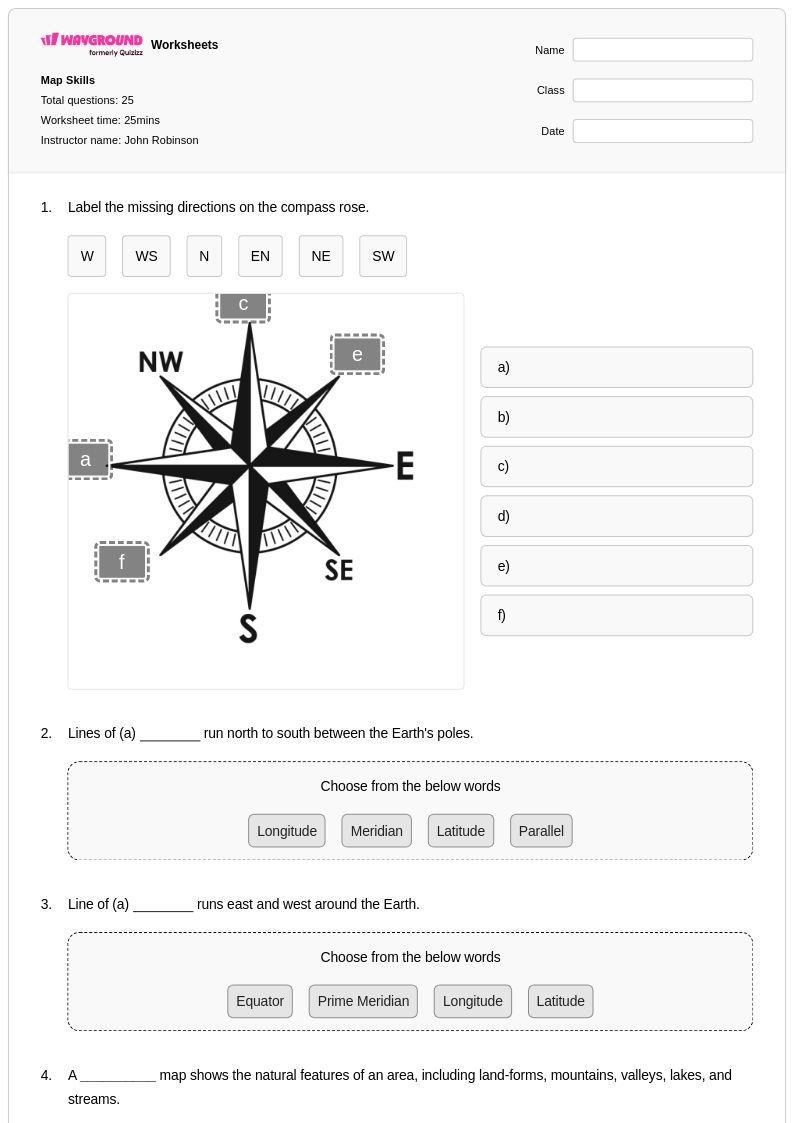
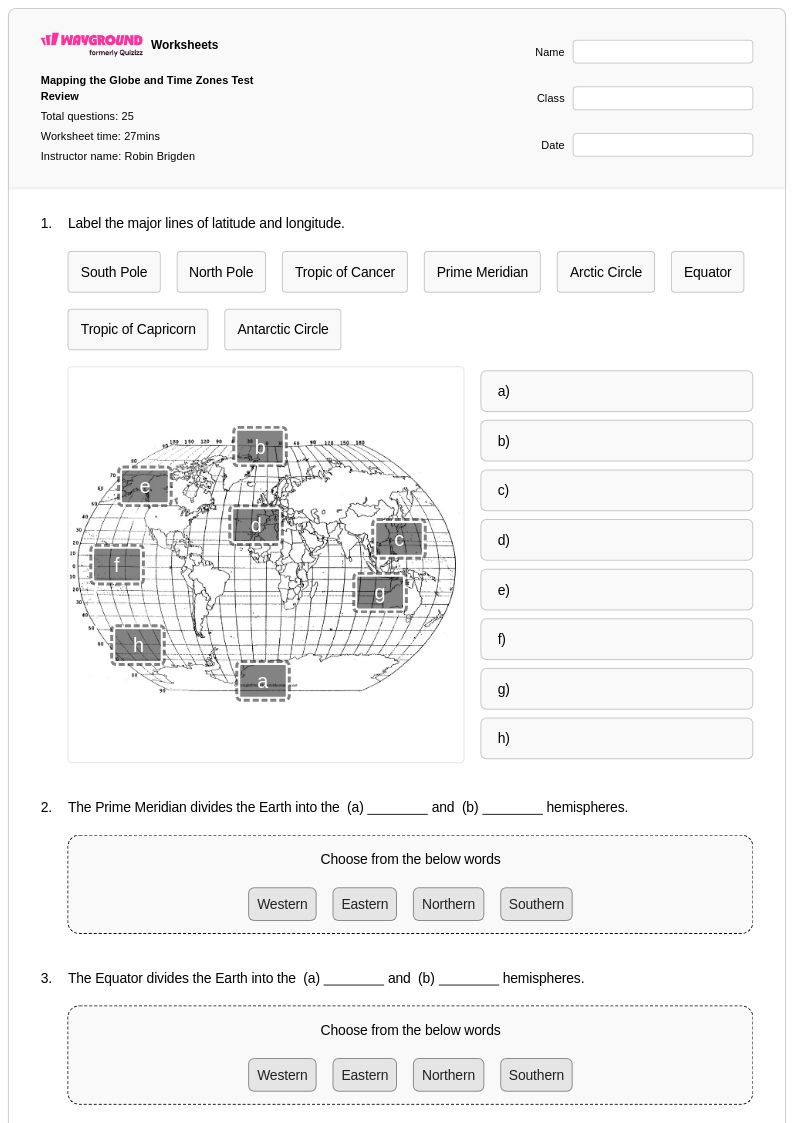
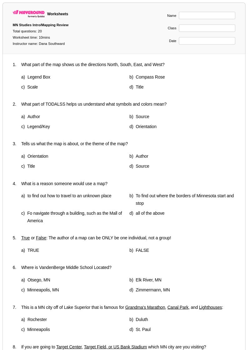
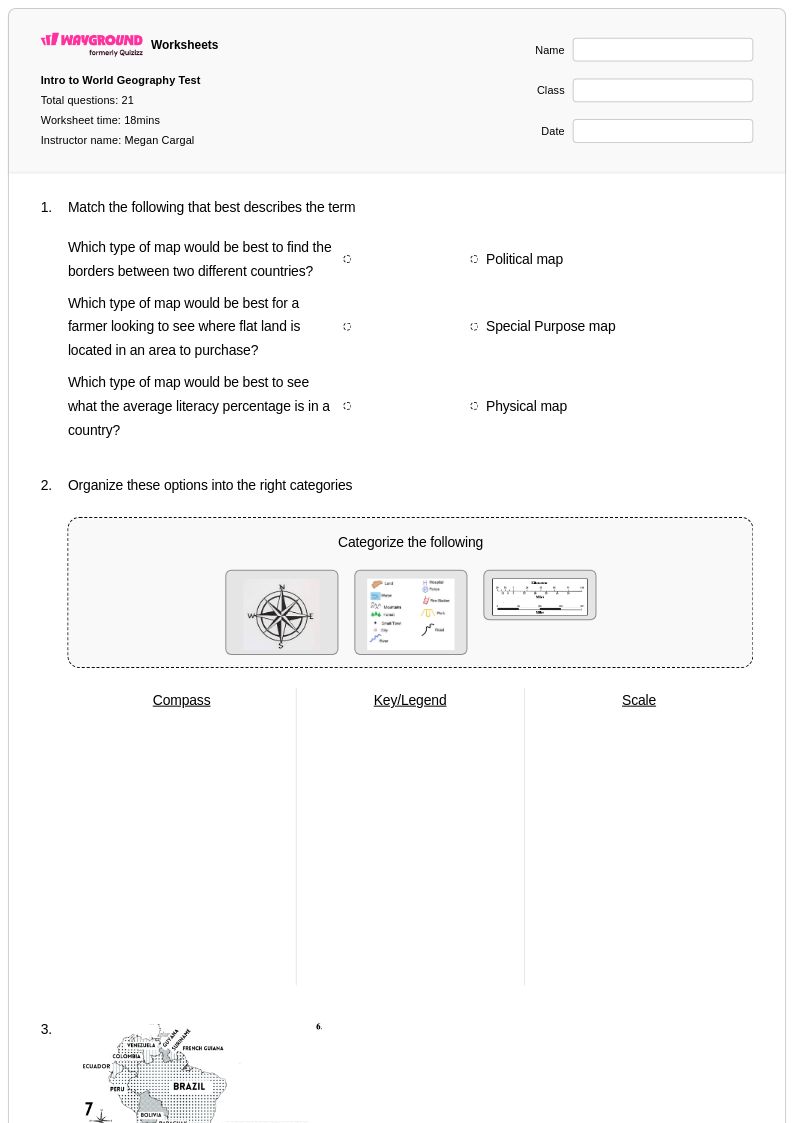
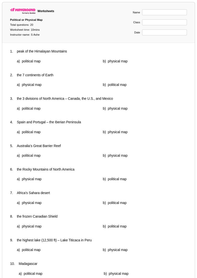
Effective mapping skills instruction begins with foundational concepts: map symbols and legends, cardinal and intermediate directions, and basic scale interpretation. From there, teachers build toward coordinate systems, grid references, and reading topographic or thematic maps. Anchoring each concept in real-world examples, such as reading a local transit map before moving to political or physical maps, helps students connect abstract cartographic ideas to practical spatial reasoning.
What exercises help students practice mapping skills?
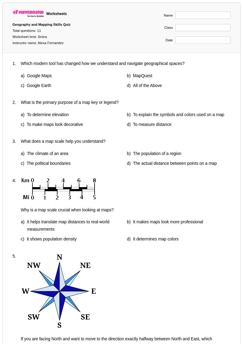
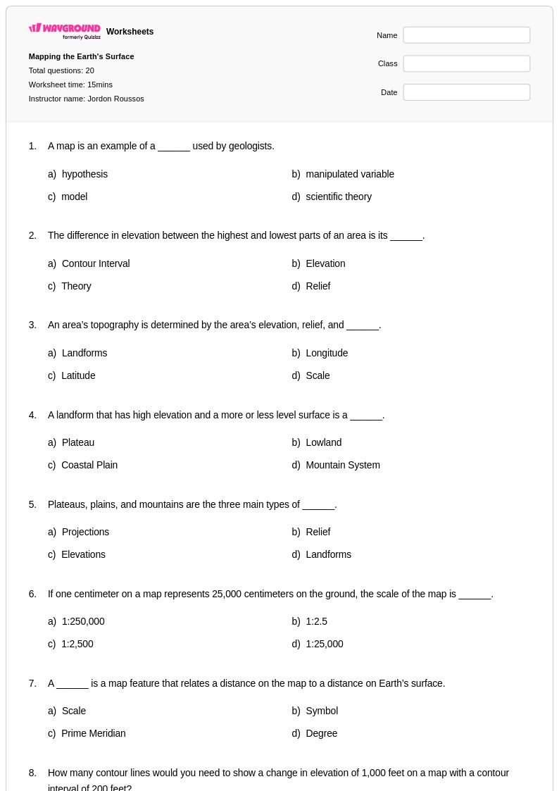
Strong mapping practice exercises include labeling map symbols and legends, calculating real-world distances using scale bars, plotting and identifying coordinates on grid maps, and interpreting contour lines on topographic maps. Varied task types, from basic map reading to comparative analysis across political and thematic maps, ensure students develop both foundational literacy and more complex spatial analysis skills.
What common mistakes do students make when reading maps?
One of the most frequent errors is misapplying map scale, where students confuse the ratio or fail to convert units accurately when calculating distances. Students also commonly misread compass directions by defaulting to cardinal directions and ignoring intermediate ones, or misinterpret contour lines by assuming closer lines mean lower elevation rather than steeper terrain. Addressing these misconceptions explicitly during instruction, before independent practice, significantly reduces persistent errors.
How do I differentiate mapping skills instruction for students at different levels?
For students still building foundational skills, start with single-concept exercises such as identifying symbols on a legend or plotting points on a simple coordinate grid before introducing multi-step tasks. More advanced learners can engage with complex topographic analysis, GIS concepts, or cross-referencing multiple map types. On Wayground, teachers can apply accommodations such as reduced answer choices or read-aloud support to individual students, allowing the same worksheet to serve a range of learners without disrupting the rest of the class.
How do I use Wayground's mapping skills worksheets in my classroom?
Wayground's mapping skills worksheets are available as both printable PDFs and in digital formats, making them suitable for traditional classroom use, homework assignments, and technology-integrated learning environments. Teachers can also host worksheets as a quiz directly on Wayground, giving students an interactive experience while automatically collecting results. Each worksheet includes a detailed answer key, so teachers can use them for guided practice, independent work, or remediation without additional preparation.
How do I help students understand map scale and distance calculations?
Students often struggle with scale because it requires connecting a symbolic ratio to a physical measurement, a two-step abstraction. Teaching scale through a consistent process, identify the scale bar or ratio, measure the map distance, then apply the conversion, reduces errors. Providing structured practice problems that progress from simple bar scale readings to ratio-based calculations helps students internalize the process before applying it independently on assessments.