Explore free meridians and parallels worksheets and printables that help students master coordinate systems, latitude and longitude concepts, and global positioning skills through engaging practice problems with complete answer keys.
Explore printable Meridians and Parallels worksheets
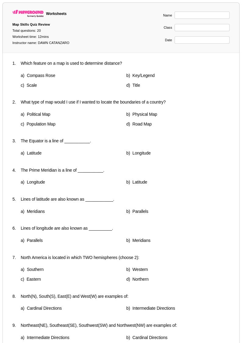
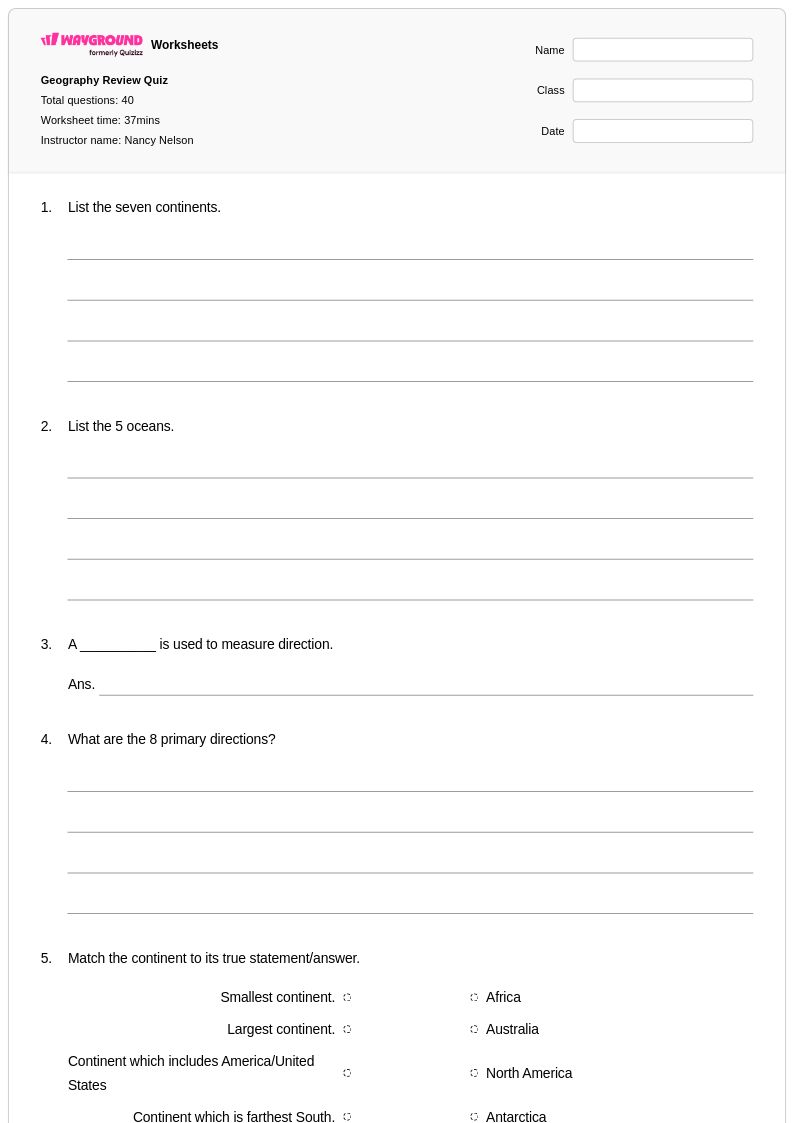
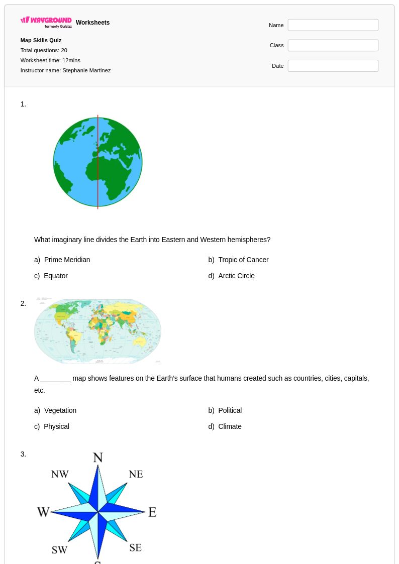
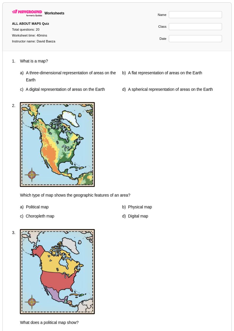
Meridians and parallels worksheets available through Wayground (formerly Quizizz) provide students with comprehensive practice in understanding Earth's coordinate system and global positioning concepts. These educational resources focus on developing essential geographic literacy skills, including identifying lines of longitude and latitude, calculating distances and time zones, and interpreting global coordinates on maps and globes. The worksheet collections feature a diverse range of practice problems that reinforce key concepts such as the Prime Meridian, International Date Line, Equator, and Tropic lines, while comprehensive answer keys enable both independent study and guided instruction. Students engage with free printable activities that build spatial reasoning abilities and strengthen their understanding of how meridians and parallels create the foundation for global navigation, weather pattern analysis, and geographic reference systems used in advanced social studies coursework.
Wayground (formerly Quizizz) supports educators with an extensive library of millions of teacher-created meridians and parallels resources that streamline lesson planning and differentiated instruction. The platform's robust search and filtering capabilities allow teachers to quickly locate worksheets that align with specific curriculum standards and accommodate diverse learning needs within their classrooms. These customizable materials are available in both printable pdf formats for traditional classroom use and digital versions for interactive learning environments, providing flexibility for various teaching approaches and technology integration requirements. Teachers utilize these comprehensive worksheet collections for targeted skill practice, remediation support for struggling learners, and enrichment activities for advanced students, while the platform's differentiation tools enable seamless adaptation of content complexity to meet individual student needs and support mastery of fundamental geographic coordinate concepts.
FAQs
How do I teach meridians and parallels to students?
Start by anchoring instruction to familiar reference lines: the Equator (0° latitude) and the Prime Meridian (0° longitude). Use physical globes or interactive maps to help students trace how parallels run horizontally and meridians run vertically, forming a grid across Earth's surface. Once students can identify these foundational lines, introduce coordinates by having them locate real cities using latitude and longitude pairs. Connecting the coordinate system to practical applications like time zones and navigation helps students understand why this system matters beyond memorization.
What exercises help students practice reading latitude and longitude coordinates?
Coordinate identification exercises are the most effective starting point — give students a map and have them name the latitude and longitude of marked locations, or conversely, plot coordinates onto a blank map. Practice problems that incorporate the Prime Meridian, International Date Line, Equator, and Tropic lines reinforce how the full coordinate system fits together. Distance and time zone calculation problems add a layer of applied reasoning that moves students beyond simple identification toward functional geographic literacy.
What mistakes do students commonly make when learning meridians and parallels?
The most frequent error is confusing latitude and longitude — students often mix up which lines run horizontally (parallels/latitude) and which run vertically (meridians/longitude). A related misconception is treating the two values as interchangeable rather than understanding that latitude measures distance north or south of the Equator while longitude measures distance east or west of the Prime Meridian. Students also struggle to interpret coordinates correctly, sometimes reversing the order of latitude and longitude when reading or writing a coordinate pair.
How do I use Wayground's meridians and parallels worksheets in my classroom?
Wayground's meridians and parallels worksheets are available as printable PDFs for traditional classroom use and in digital formats for technology-integrated learning environments, giving teachers flexibility regardless of their setup. You can also host any worksheet directly as a quiz on Wayground, which allows students to complete the activity digitally while you track responses in real time. For students who need additional support, Wayground offers built-in accommodations such as read aloud, extended time, and reduced answer choices, which can be assigned to individual students without disrupting the rest of the class.
How do meridians and parallels connect to broader geography and social studies standards?
Meridians and parallels form the coordinate foundation for nearly every geographic skill students encounter in social studies — from reading political and physical maps to understanding time zones, navigation routes, and climate zones defined by lines like the Tropics and the Arctic Circle. Mastery of this system also supports analysis of global events, since news and scientific data are routinely referenced by geographic coordinates. Building fluency with latitude and longitude early gives students a durable framework they will apply throughout advanced social studies and earth science coursework.
How can I differentiate meridians and parallels instruction for students at different skill levels?
For students who are still developing basic map literacy, begin with single-hemisphere maps and limit coordinate practice to whole-number values before introducing decimals or minutes. More advanced students can work with precise coordinate pairs, time zone calculations, and problems involving the International Date Line. On Wayground, teachers can apply reduced answer choices to selected students to lower cognitive load on practice problems, while other students receive the standard version — all within the same assignment and without singling anyone out.