Free Printable Northeast States Worksheets for Class 6
Explore Class 6 Northeast States geography worksheets featuring printable PDF activities that help students master regional landmarks, capitals, and cultural characteristics with comprehensive practice problems and answer keys.
Explore printable Northeast States worksheets for Class 6
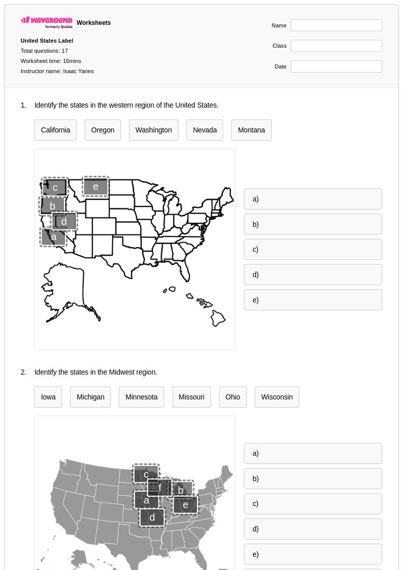
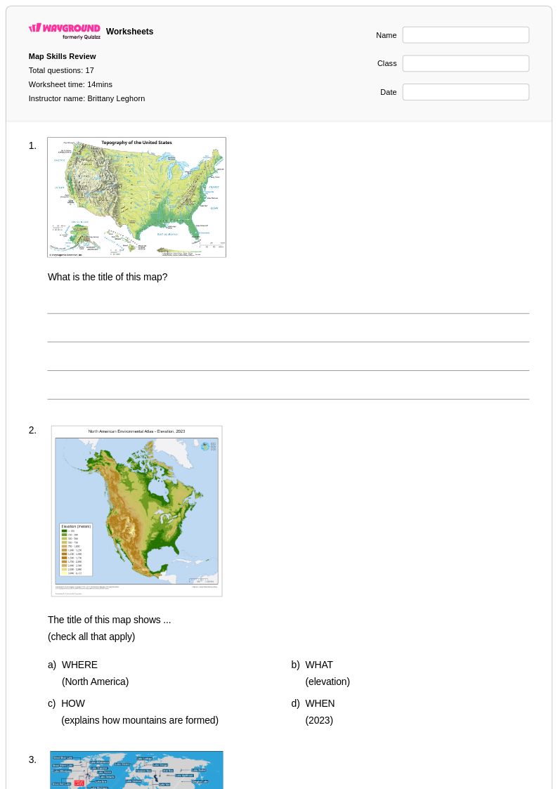
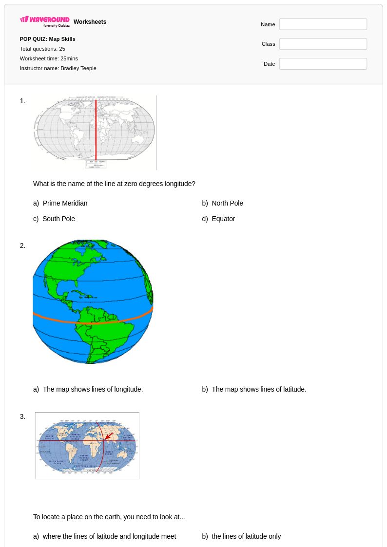
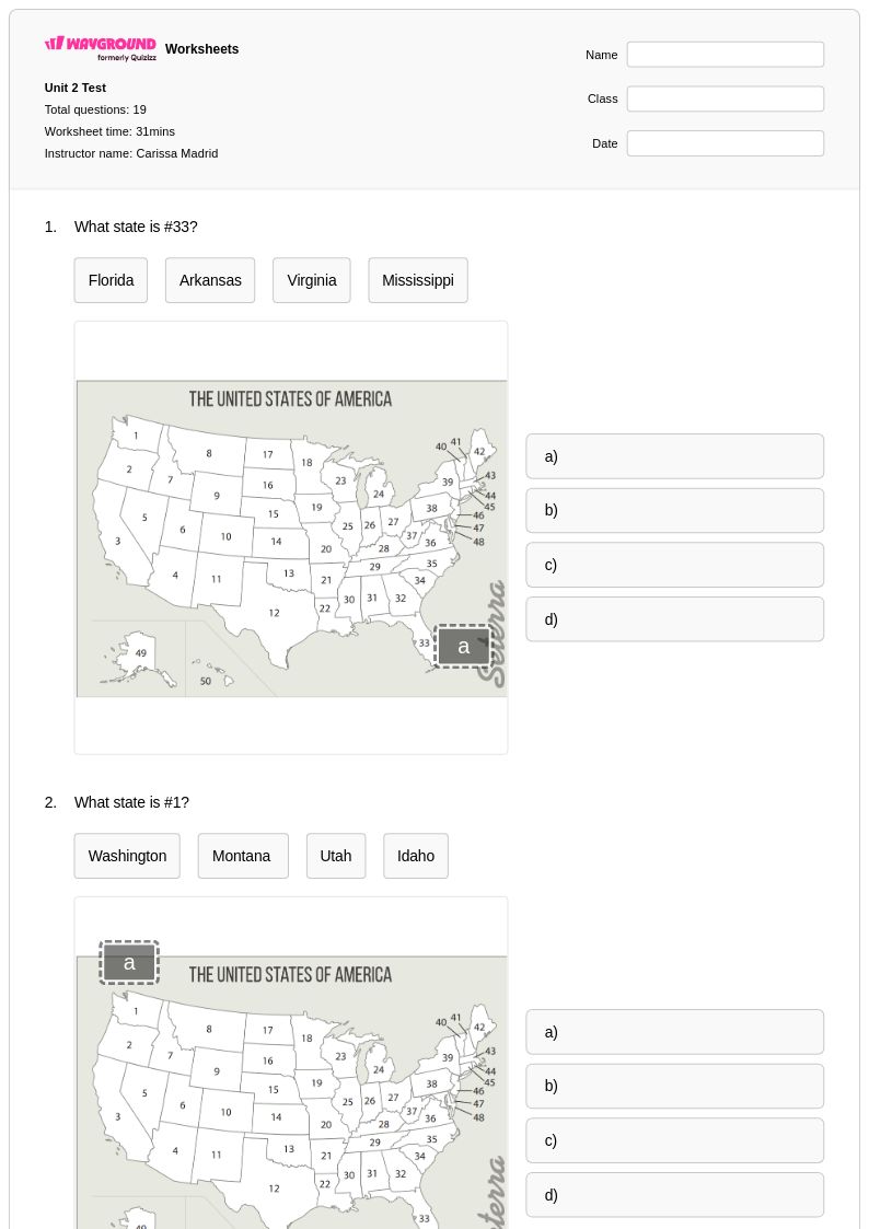
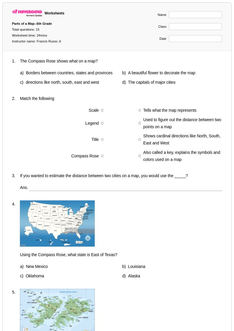
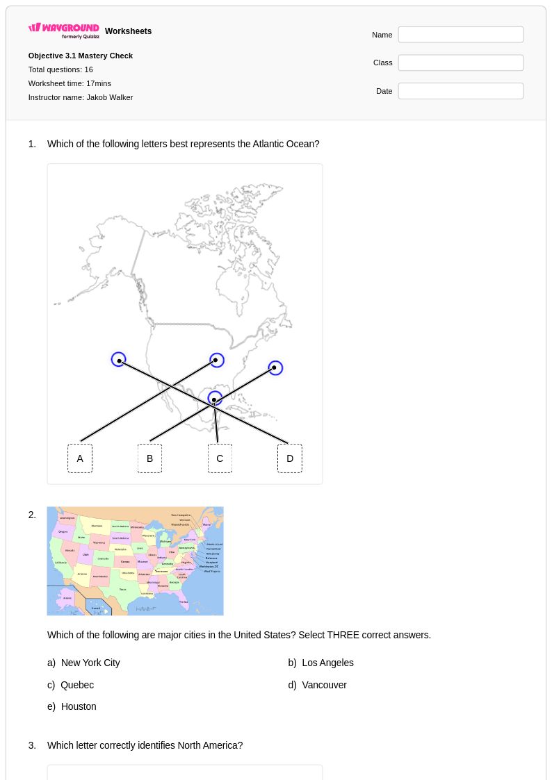
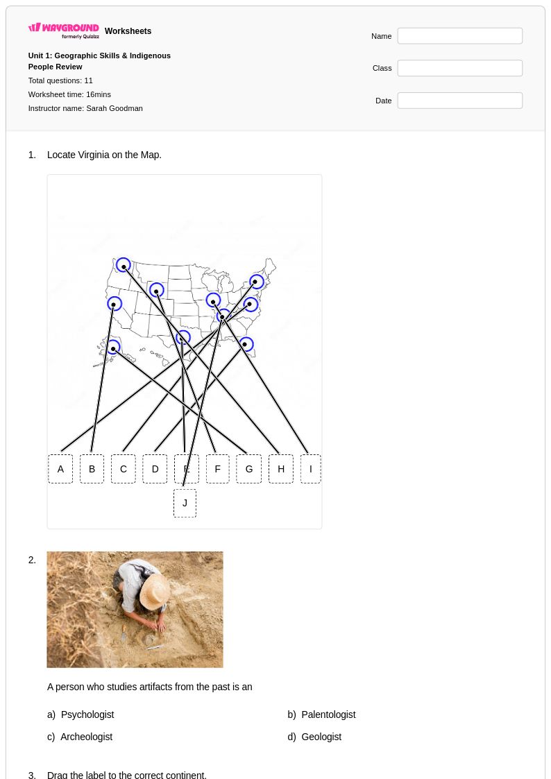
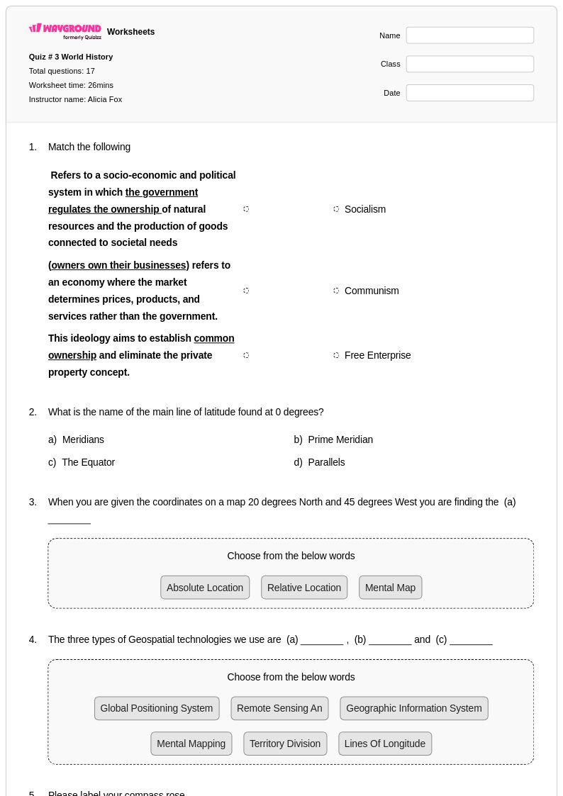
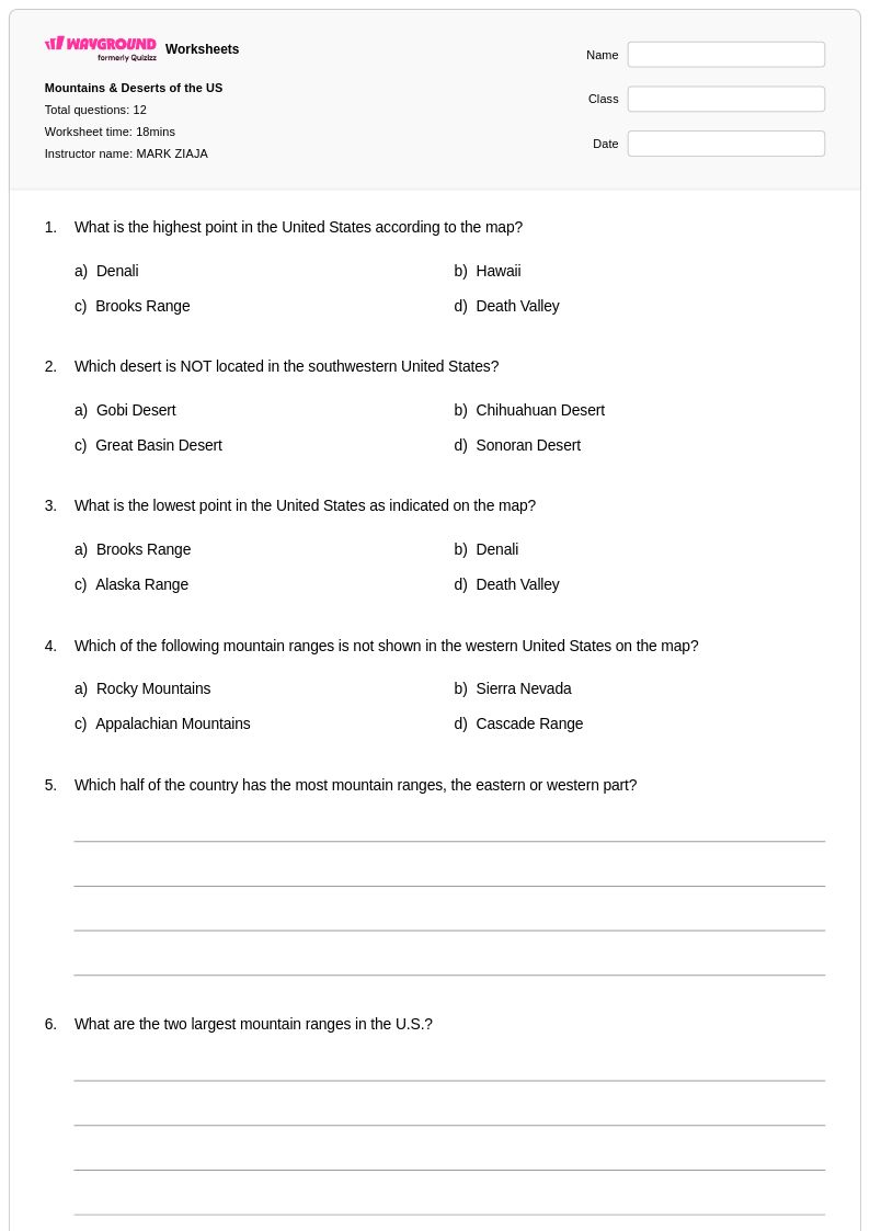
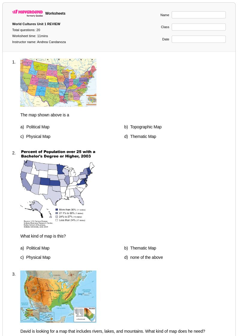
Northeast States worksheets for Class 6 provide comprehensive coverage of the geographical features, historical significance, and cultural characteristics of America's northeastern region. These educational resources help students master essential geography skills including map reading, state identification, capital cities, major landforms, climate patterns, and economic activities that define states like Maine, New Hampshire, Vermont, Massachusetts, Rhode Island, Connecticut, New York, New Jersey, and Pennsylvania. The worksheets feature diverse practice problems that reinforce learning through activities such as labeling maps, analyzing population data, comparing regional resources, and exploring the relationship between geography and human settlement patterns. Each printable resource includes an answer key to support both independent study and classroom instruction, with free pdf formats making them accessible for immediate use in any learning environment.
Wayground, formerly Quizizz, empowers educators with an extensive collection of teacher-created Northeast States geography worksheets designed specifically for Class 6 social studies instruction. The platform's robust search and filtering capabilities allow teachers to quickly locate resources aligned with curriculum standards, while differentiation tools enable customization based on individual student needs and learning objectives. These flexible materials are available in both printable and digital formats, including downloadable pdf versions that facilitate seamless integration into lesson plans for remediation, enrichment, or regular skill practice. With millions of educator-contributed resources at their fingertips, teachers can efficiently plan engaging geography lessons that deepen students' understanding of the Northeast region's unique geographical characteristics, from the Appalachian Mountains and Atlantic coastline to major river systems and urban centers that have shaped this historically significant area of the United States.
FAQs
How do I teach the Northeast states to elementary or middle school students?
Teaching the Northeast states is most effective when you anchor instruction in spatial reasoning — start with a blank regional map and have students locate and label each state before introducing capitals and geographic features. Layering content progressively, from physical geography to historical significance to economic activity, helps students build a coherent mental model of the region rather than memorizing disconnected facts. Connecting landmarks like the Appalachian Mountains or the Great Lakes to settlement and trade patterns gives students a framework for understanding why the Northeast developed the way it did.
What exercises help students practice identifying the Northeast states and their capitals?
Map labeling exercises are the most effective practice format for the Northeast states because they require active recall rather than recognition. Students benefit from repeated exposure through fill-in-the-blank state and capital matching, blank map activities where they locate states from memory, and cumulative review that reintroduces previously learned states alongside new ones. Rotating between different exercise types across multiple sessions builds both fluency and retention for a region where many state boundaries are small and closely clustered.
What do students commonly get wrong when learning the Northeast states?
The most frequent errors involve the six New England states — Maine, Vermont, New Hampshire, Massachusetts, Rhode Island, and Connecticut — because their borders are compact and their relative positions are easy to confuse. Students also commonly misplace Pennsylvania and New York, underestimating how far west these states extend. Confusing state names with city names (e.g., New York the state vs. New York City) is another persistent misconception that benefits from explicit instruction and visual reinforcement.
How do I use Northeast States worksheets in my classroom?
Northeast States worksheets on Wayground are available as printable PDFs for traditional classroom use and in digital formats for technology-integrated environments, including the option to host them as a quiz on Wayground. Printable versions work well for independent practice, map labeling activities, and homework assignments, while digital formats allow for immediate feedback during class. All worksheets include complete answer keys, making them practical for self-paced work, peer review, or teacher-led correction. Wayground also supports student-level accommodations such as read aloud, extended time, and reduced answer choices, which can be applied individually so all learners can access the same geographic content.
How do I differentiate Northeast States instruction for students at different skill levels?
For students who are still developing map literacy, reduce the cognitive load by starting with a word bank and a partially labeled map before moving to full recall tasks. More advanced students can extend their learning by analyzing how geographic features like the Atlantic coastline or the Appalachian range influenced historical migration, industrialization, and trade across the Northeast. On Wayground, teachers can apply individual accommodations — including reduced answer choices and read aloud — to specific students without disrupting the experience for the rest of the class, making differentiation manageable within a single assignment.
How do Northeast States worksheets connect to broader social studies standards?
Northeast States geography is a foundational component of U.S. regional geography standards and connects directly to content in U.S. history, civics, and economics. Understanding state locations, capitals, and geographic features supports map reading skills that appear across grade levels and standardized assessments. The Northeast's historical role in early American settlement, the Industrial Revolution, and immigration also makes it a natural entry point for interdisciplinary connections to history and culture coursework.