
 Worksheets
AP HG U1
Total questions: 60
Worksheet time: 30mins
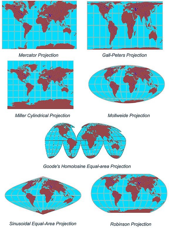


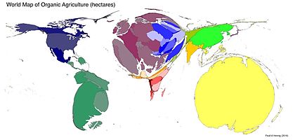
Roughly where is the international dateline?
West of Ireland
Through The Middle of the Pacific Ocean
East of Japan
Just off the Coast of California

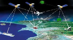
The acquisition of data about Earth's surface from a satellite, spacecraft, or specially equipped high-altitude balloon is
remote sensing
GIS
USFL
IPMPCW
The frequency an object appears in a given area is its
concentration
pattern
density
diffusion
Lines of ________ are drawn as east and west circles on the globe and yet they measure distances north and south of the ________.
longitude, Prime Meridian
longitude, equator
latitude, Prime Meridian
latitude, equator
Which of the following is not a formal culture region?
The distribution network for USA Today newspaper
A wheat-growing county in Kansas
A Haitian neighborhood in Miami, Florida
The part of Italy called “Lombardy”
A French-language region in Canada
That the physical environment causes social development is the core concept of
Cultural relativism
Possibilism
Cultural ecology
Environmental determinism
The division of the United States into nine regions by the Census Bureau is an example of a…
vernacular region
formal region
functional region

The visible imprint that humans leave on a landscape:
natural landscape
cultural landscape

Maps in our minds of places that we have been to and places we have only heard of:
reference maps
thematic maps
mental maps
activity spaces

Geotechnology used to map and analyze spatial data:
Global Positioning System (GPS)
Geographic Information System (GIS)
remote sensing

The further the time and distance from the hearth, the less likely an innovation is to be adopted:
time-distance decay
time-space compression
The 3Ws are:
Where is it?
Why is it there?
What difference does it make?
When is it there?
How did it come to be?
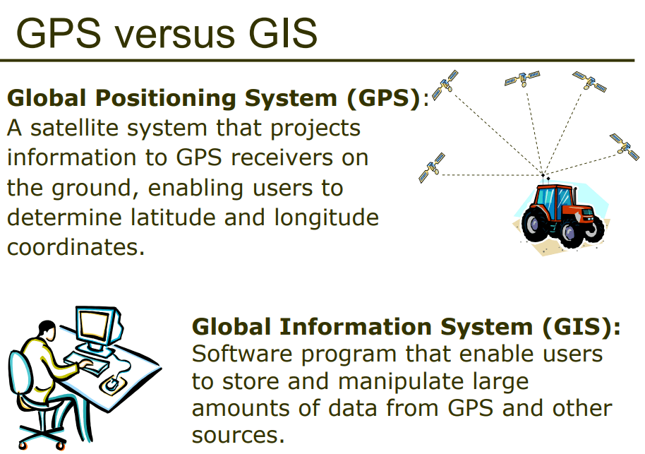
GPS and GIS are examples of contemporary mapping tools that rely on ______ technology.
remote sensing/satellite
computer
smart phone/satellite
International Space Station



