
 Worksheets
WED/Topo Maps Review
Total questions: 50
Worksheet time: 50mins

The natural chemical or physical processes that breaks down rock on Earth's surface.
weathering
erosion
deposition
hammering

This type of weathering occurs when rock is physically broken down into smaller pieces of rock.
Physical(mechanical) weathering
chemical weathering
erosion weathering
deposition

The process by which water, ice, wind or gravity moves weathered rock and soil from one place to another.
weathering
erosion
deposition
dumptruck

This type of weathering occurs when rocks weaken then break down due to chemical changes in the composition of the rock.
mechanical weathering
chemical weathering
erosion weathering
deposition

How might a weathered mountain appear different than an unweathered mountain?
Weathered mountain would be taller.
Weathered mountain would be rounder and less jagged.
Weathered mountain would be more jagged and less rounded.
Weathered mountain would have no trees.

What is sediment?
the process of rocks being broken down and carried away
bits of rock and sand caused by the weathering of rocks
the top layer of the soil
decaying plant or animal material

How does freezing water cause the weathering of rocks? The freezing water—
keeps the rocks in place
makes the rocks last longer
expands cracks and breaks rocks
causes rocks to fall in landslides

the part of the erosion process in which sediment travels to a new location and is put down or dropped off
chemical weathering
mechanical weathering
erosion
deposition

Which profile best shows the general depositional pattern that occurs when water from a stream enters
the ocean?


The diagrams shows a rock with water trapped in the cracks during the day and at night.
Which statement best explains why this process results in weathering?
frozen water acts as a solute
water expands when it freezes
the mass of water increases when it freezes
frozen water dissolves most types of rock
Which landforms can be created by deposition?
plateaus and mesas
canyons and valleys
prairies, plains
sand dunes and deltas
Which of the following is not a form of weathering?
Cows grazing in the fields
Rocks rubbing against each other
A tree roots growing through the concrete
Snow and Ice breaking a rock
The major cause of erosion along coasts is:
tornadoes
earthquakes
clouds
wave action and storm surge
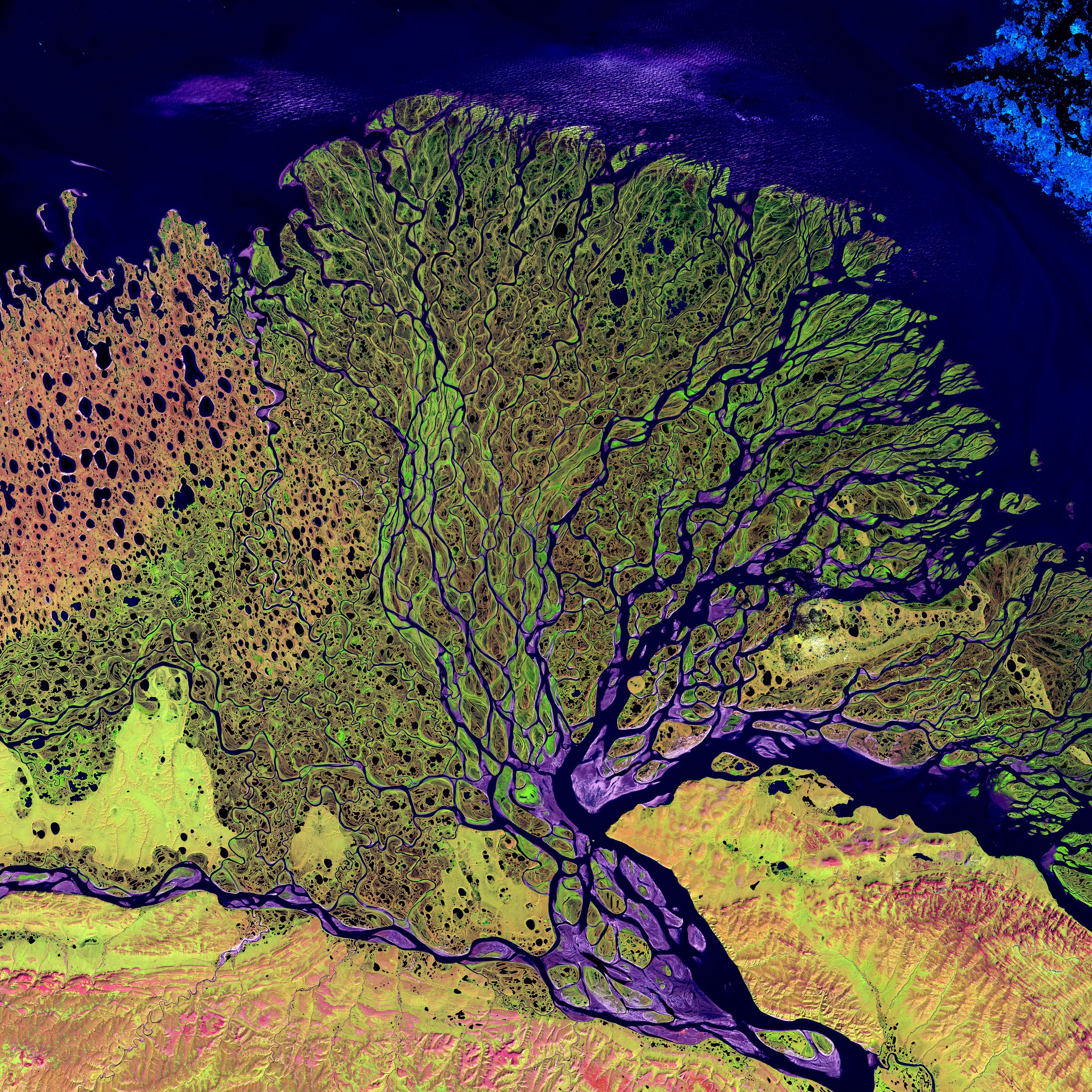
Deltas are mainly created by the process of -
deposition
weathering
waves
erosion

How did the Colorado River make the Grand Canyon?
wind erosion
water erosion
glacier erosion
big huge earthquake

How are sand dunes made?
water and waves drop sand
wind drops sand
gravity drops sand
glaciers melt
What is something that will not help sand dunes form?
Wood Fence
Grass and Bushes
Digging Holes
Old Xmas Trees
What eco region in TX has the most wind erosion from the Gulf of Mexico?
Gulf Prairies and Marshes
Pineywoods
Edwards Aquifer
Australia
What type of land formation would you find at the mouth of a river as it reaches the Gulf of Mexico?
delta
aquifer
stone sculptures
mountains
What is the primary agent of erosion in the High Plains?
Water
Gravity
Wind
James Bond
Which one of the following is an outcome of deposition?
Formation of an island
Ice Wedging
Creation of Arches
Rivers being carved out of rock
Plants prevent erosion by
going through photosynthesis to make oxygen
formation of seeds
anchoring soil in place
None of these are true
TX eco regions include
beaches
mountains
swamps
all of these
This TX eco region is located in the eastern portion of the state and is the wettest region in Texas
Piney Woods
Blackland Prairie
Edwards Plateau
Gulf Prairies and Marshes


The image shows a topographic map.
Which statement best describes the location marked by the X?
It is at the bottom of a large pit.
It is at the top of a hill.
It is on the side of a mountain.
It is in a deep cave.



The steepest slope on this hill can be found on the side that is facing which direction?




