
 Worksheets
APHUG Unit 1
Total questions: 63
Worksheet time: 36mins

Which map projection consists of an equal area projection?
Peters Projection
Mercator Projection
Goode Homosoline Projection
Robinson Projection

Which projection greatly distorts area near the poles?
Goode Homosoline
Peters
Robinson
Mercator

Which projection is hard to navigate with because shapes are distorted?
Robinson
Mercator
Peters
Goode Homosoline
Which line of longitude does the International Date Line run on?
0° Latitude
180° Longitude
180° Latitude
0° Longitude

How many different time zones are there?
24
12
6
48
What is a synonym for a uniform region?
Vernacualar Region
Nodal Region
Functional Region
Formal Region
What is a place in which an innovation originates?
Location
Diffusion
Site
Hearth
How many degrees represents one time zone
50°
15°
24°
30°

What is another name for 0° Latitude
Prime Meridian
Meridian
International Date Line
Equator

What is another name for 0° Longitude?
Prime Meridian
International Date Line
Equator
Greenwich Mean Time
What is the master reference time for all points on earth?
International Date Line
Prime Meridian
Equator
Greenwich Mean Time

Which is not an example of space-time compression?
How long it takes to walk to the store
How long it takes to drive to school
How long a flight is from Minnesota to Florida
How long McDonald´s is open till
The ability to be maintained at a certain rate or level is which of the following?
Possibilism
Environmental Determinism
Sustainability
Mercator and Galls Peters Projections

What type of map is this?
Cartogram
Dot Distribution
Isoline
Choropleth
Graduated Symbol
Scale is
the system used by geographers to transfer locations from a globe to a map.
the extent of spread of a phenomenon over a given area.
the difference in elevation between two points in an area.
the relationship between the length of an object on a map and that feature on the landscape.
the relationship between the portion of Earth being studied, and the Earth as a whole.
The spread of a feature or trend from one key person or node of authority to other persons or places.
Contagious diffusion
Hierarchical diffusion
Stimulus diffusion
Distribution
Uneven development
Space-time compression describes
How long it takes for a GPS satellite to be enter space after launch.
The arithmetic density of a vernacular region.
The concentration of a phenomena in a space.
The reduction in time it takes for something to reach another place.
The measure of hierarchical diffusion of a phenomena.
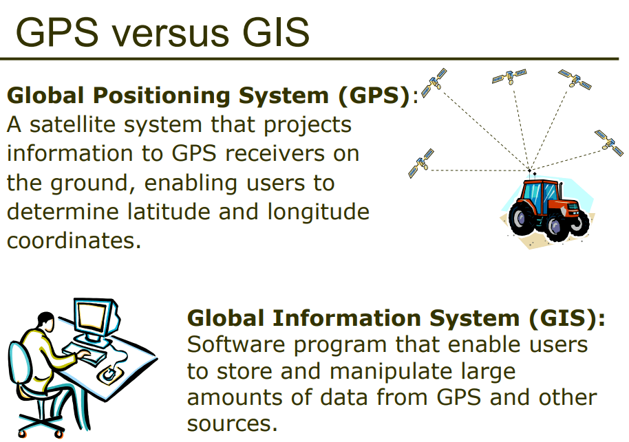
GPS and GIS are examples of contemporary mapping tools that rely on ______ technology.
remote sensing/satellite
computer
smart phone/satellite
International Space Station
Dothan's ________ is approximately 60 miles south of Troy and 85 miles north of Panama City.
location
site
situation
toponym


The diffusion of the idea of the hamburger to India but with a vegetable patty instead of the religiously prohibited beef is an example of:
cultural mimicry.
cultural barrier.
stimulus diffusion.
independent invention.
Place is defined as ...
A specific place on earth distinguished by particular characteristics
A point between two points on the earths surface
The space above the lithosphere
The movement between two objects
The view of two areas over a given point
The process by which a feature spreads from one place to another in known as
Diffusion
Preservation
distribution
Uneven development
Hearth
The science of taking measurements of the Earth's surface from photographs is known as
Photogrammetry
Geotagging
Cartography
Isoline Map
projections
A map that overlays data from one source on top of a map provided by a mapping service is known as a
Map Scale
Map overlay
Pattern
Syncretism
Toponym
Syncretism is BEST defined
The combining of elements of two groups into a new cultural feature
An area distinguished by one or more distinctive characteristics
The spread of a trend ir feature from one key [erson or node authority to another person or place
A map that connects places of particular value
The rime in the zone encompassing the Prime Meridian
What map scale would a cartographer choose if one inch of road on a map represents 54,000 inches on the ground?
2:27,000
24,000:1
1:54,000
54,000:1
1:24,000
What term refers to the physical gap between two objects?
site
place
scale
space
density
Which map scale shows the most detail?
1:10,000
1:62,500
1:100,000
1:250,000
1:2,500,000
A projection is the method of transferring locations from Earth's surface to a flat map. What is NOT one of the types of distortion that can occur in this transfer?
The shape of an area can be distorted.
The distance between two points can be incorrect.
The relative size of different areas can be altered.
The direction from one place to another can be distorted.
The elevation of Earth’s surface can be altered.
What term describes the relationship between humans and the physical environment as being a range of compatible adjustments in response to various environmental limitations?
possibilism
environmental determinism
spatial diffusion
ecosystem
sustainability
Lines of __________are drawn as east and west circles on the globe, and they measure distances north and south of the __________.
longitude; equator
latitude; prime meridian
latitude; equator
latitude; International Date Line
longitude; prime meridian
Wall Street, the financial world's economic focal point, is what kind of region?
nodal
formal
homogeneous
vernacular
uniform
What term specifically describes the reduction in the time it takes for something to travel from one place to another?
transportation
space-time compression
space-time interaction
hub-and-spokes network
distance decay

Wide spread diffusion of a feature or trend
Contagious Diffustion
Diffusion
Globalization
Distribution

The yellow area is where Domino's delivers
Formal Region
Functional Region
Perceptual Region
Distance Decay
Something that inhibits a phenomenon from spreading across space, objects in the environment, sociocultural factors, or psychological barriers that prohibit interaction
Barriers to diffusion
Human Environment Interaction
distance decay
time-space compression
Which of the following best explains why printed images are geometrically distorted representations of Earth’s surface?
Printed maps change the sense of place that people can have about a location.
Some maps only show the actual coloration of Earth’s surface and vegetation.
GIS can only display 2-dimensional layers.
The planet’s poles are not located at the poles of Earth’s axis.
The 3 dimensions of Earth’s surface are displayed on a 2-dimensional page.
Which of the following is a characteristic of the Mercator projection?
The size and shape of countries in the higher latitudes are greatly exaggerated.
The size of all countries is accurate, but the shape is distorted.
Countries near the Equator appear 50 percent larger than countries in the middle latitudes.
The projection is designed to maintain distorted outlines of landmasses.
Distances on the Mercator projection are real and accurate.
A formal region defines an area in which
a core dominates its surrounding hinterland
there is uniformity in one or more physical or human characteristics
a transportation network links different types of land use
a unified government system has been established
there are significant geographic variations in physical or human characteristics
According to the theory of environmental determinism, which of the following areas would have the most productive settlements?
Tropical regions
Temperate regions
Mountainous regions
Arctic regions
Arid regions
Watershed: A region in which all rainfall eventually flows downhill through a system of streams and tributaries into the same body of water, such as the catchment basin of a river or lake.
Milkshed: A region in which fresh milk is produced and can be delivered without spoilage for sale and consumption. A dairy farm sits at the center of an area, the size of which is determined by how far fresh milk can be shipped and still maintain shelf-life for consumers.
Given the definitions, watersheds and milksheds can best be classified as what type of region?
vernacular
formal
cultural
functional
Which of the following map scales would be most useful for studying the details of geographic features in the landscape of Landmark Park?
1:10,000
1:25,000
1:50,000
1:100,000
Why would a Dothan's city planner use a map at the 1:24,000 scale rather than a map at the 1:250,000 scale?
The map at the 1:24,000 scale shows a much larger area.
The map at the 1:24,000 scale is easily converted to non-metric measurements.
The map at the 1:24,000 scale shows the town close-up in more detail.
The map at the 1:250,000 scale shows too small of an area to see the whole town.

