
 Worksheets
Introduction Geography and Mapping Skills
Total questions: 66
Worksheet time: 39mins
Choose the correct statement - A climate graph:
displays only temperature statistics for a particular location
displays yearly temperature and precipitation statistics for a particular location
displays only precipitation statistics for a particular location
displays temperature variation and precipitation totals for a single location and for a single year only
Choose the correct statement - Topographic maps:
show isobars which highlight warm and cold fronts, high and low pressure systems, rainfall and other weather related events
show various events or features related to human activity such as population distribution, crop type and distribution and biome distribution
show shape of the land, different types of natural features such as rivers and vegetation and cultural features such as roads and houses
are really fun, yay!
The cardinal points of a compass are
north and south
east and west
north, south, east and west
north - north east - east - south east - south - south west - west - north west
In relation to area and grid references
vertical grid lines are called eastings
vertical grid lines are called northings
horizontal grid lines are called eastings
horizontal grid lines are called westings
Which of the following statements is true
Area references are 6 digit numbers
Grid references are 6 digit numbers
Grid references are 4 digit numbers
A grid reference is obtained by combining the 2 digits from the northings reading and the two digits from the eastings reading only.
When referring to contour lines in a topographic map which statement is not true
Relief is a term geographers use to describe the shape of the land, including height and steepness.
Contour Lines join points of equal height above sea level.
Contour interval refers to the difference in height between two adjacent (next to) contours lines.
A single contour line can represent different heights above sea level on particularly steep mountains

Compass Rose is -
a map which shows different continents and oceans
a paper clip to hold a map together
a symbol on a map which indicates the direction for a map
a flower that blooms during the spring season

Prime Meridian
Divides the moon into quarters
Shows which way to go during a storm.
Divides the Earth into East and Western Hemisphere.
Divides the Earth into North and South Hemisphere.
Geography is
The study of space aliens
The study of spatial characteristics of the world's land and people.
The study of the earth.
Means the belief in our culture.
Longitude -
Lines that measure distance east and west of the Prime Meridian.
LInes that run east to west around the earth.
Ms. Mirelez's coffee favorite flavor.
Study of plants and animals.
Equator -
A line that divides the highway.
A line that divides the Earth into northern and southern halves.
An imaginary line that does north to south.
The name of a football team.
Latitude
the line that divides the earth and moon.
lines above and below the equator.
Lines and run north to south.
a name for an attitude that describes an angry soccer player.
The 0 degree line of latitude is the ___________.
Equator
Prime Meridian
International Date Line
Contour Line
What is the name of the line at zero degrees longitude?
Equator
Prime Meridian
North Pole
South Pole

The map show the lines of longitude.
The map shows the lines of latitude.
The study of the earth and its people is called
topography
geography
climate
archaeology
The Atlantic Ocean is (a) of North America.

Which type of map shows where mountains and plains are located?
physical
political
population
elevation

What do we call the largest areas of land?
Islands
Continents
Countries
Peninsula

This kind of map shows the earth's features, such as mountains and plains, as well as elevations:
political map
distribution map
climate map
physical map

To find the distance between two places on a map, you would use:
a scale
line of latitude
a symbol
a line of longtitude

A map's key shows the:
length of the equator
map's time zone
meaning of symbols used on the map
location of the sun at different times

Which continent is labeled with the letter A?
Asia
Australia
South America
North America
Which ocean is labeled with the letter H?
Atlantic
Indian
Pacific
Arctic

What continent is highlighted in RED?
Africa
Australia/Oceania
North America
Antarctica
Asia

What OCEAN is located in the RED area?
Indian
Arctic
Pacific
Southern
Atlantic

What OCEAN is located in the RED area?
Indian
Arctic
Pacific
Southern
Atlantic

Which of the following is NOT one of the 5 Themes of Geography according to MR HELP?
Movement
Region
Human Environment
Location
Pickles
Which type of thematic map would tell you the kinds of industry seen in a country?
Economic Activity
Population Density
Climate
Physical
Which type of thematic map would illustrate the amount of people living in a specific area of a country?
Mental Map
Economic Activity
Population Density
Climate
Which type of thematic map would show you mountains, deserts, oceans, etc.?
Physical
Political
Climate
Elevation
What does a star generally indicate on a map?
Major City
Hollywood
Capital City
Town/Village
Geographers who produce maps are called _____?
Climatologists
Cartographers
Publishers
Environmentalists
An Atlas is
a Greek God
a Book of Maps
a statue
a mountain range in North Africa
What is a scale on a map?
a tool that allows you to measure your body weight
a way to balance the weights of the land and oceans
a ratio of the distance on the map to the actual distance
a piece of skin found on reptiles like snakes
What does the title show on a map?
shows the person who made the map
attracts the reader's attention
shows the purpose of the map
shows important information about the size
Which choice is the legend or key of a map?


Which map is a 'political map'?


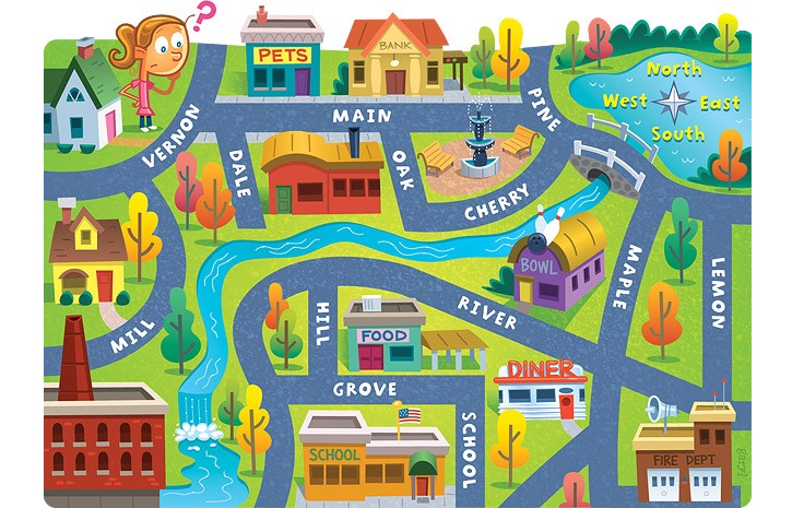
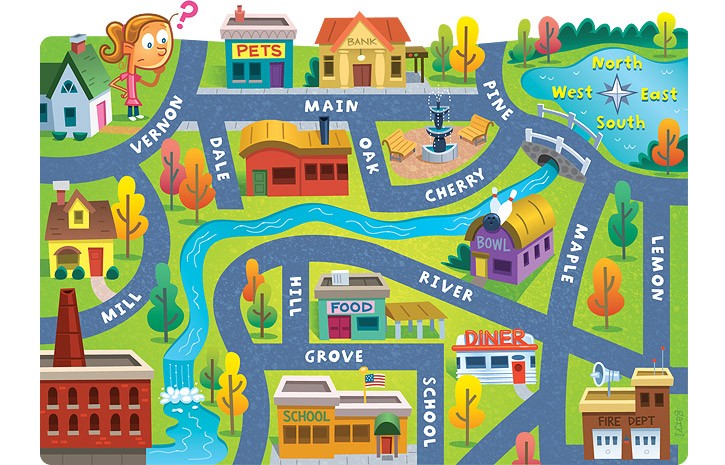


What type of slope is from A to B?
steep
gentle

What is the elevation at line C?
800
780
760

What is the contour interval on this map?
50
10
100

What landform is represented at letter B?
river
hill
valley

Which letter represents the highest point on the map?
F
B
D

Which letter represents a steep slope?
Q
E
F
C

Look at the contour image of the mountain range and pick the correct side view (profile)


Look at the contour image of the mountain range and pick the correct side view (profile)


A contour interval is the
difference in distance between one contact line and the next
difference in color between one contour line and the next
difference in elevation between one contour line and the next

Look at the contour image of the mountain range and pick the correct side view (profile)


What is the contour interval on this map?
100
10
20


What would you find at 536168?
Camping
Bridge
Library
Hill Croft Farm

What would you find at 566169?
Campsite
Public House
Farm
Bridge

Give the six-figure grid reference for New House Farm ...
547161
555677
540677
540177

Give the six-figure grid reference for Oddington Grange.
548912
545167
577902
567123
Give the six-figure grid reference for Oddington Grange.
548912
545167
577902
567123

