
Political Maps Presentations
This presentation explains key concepts of political maps through visual learning and structured lesson slides. Students will explore how political boundaries, territories, and governmental divisions are represented on maps through clear instructional content.
15 questions
Physical and Political Maps
Presentation
•
5th Grade

15 questions
Physical and Political Maps
Presentation
•
4th - 5th Grade

20 questions
L6- Map Skills- Physical & Political Maps
Presentation
•
4th Grade
15 questions
Political vs Physical Maps
Presentation
•
5th Grade

13 questions
Types of Maps
Presentation
•
4th - 6th Grade

21 questions
Political Boundaries
Presentation
•
5th Grade
17 questions
3.1.7 Live- Map Skills Review
Presentation
•
4th Grade
21 questions
Map Skills Lesson
Presentation
•
4th Grade
22 questions
Types of Maps
Presentation
•
5th Grade
27 questions
Maps!
Presentation
•
4th - 5th Grade
9 questions
Precipitation Maps
Presentation
•
4th Grade
13 questions
Exploring the World: Maps and Geography
Presentation
•
5th Grade
Explore Political Maps Presentations
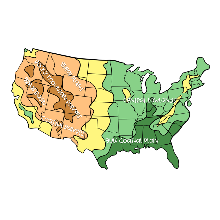
Political Maps presentations on Wayground (formerly Quizizz) provide comprehensive educational resources that enable students to develop critical geographic literacy skills through structured visual instruction. These expertly crafted presentations deliver concept explanation of boundary types, sovereignty principles, and territorial divisions while supporting visual learning through detailed cartographic examples and interactive elements. Students engage with fundamental concepts including national borders, administrative divisions, capital cities, and geopolitical relationships through carefully sequenced instructional content that builds understanding progressively from local to global scales. Wayground (formerly Quizizz) empowers educators with access to millions of teacher-created Political Maps presentations that can be seamlessly integrated into geography curricula through robust search and filtering capabilities. Teachers benefit from standards-aligned content that supports differentiation through customizable presentation elements, allowing instruction to be tailored for diverse learning needs and academic levels. The platform's flexible digital delivery formats enable educators to facilitate both synchronous classroom instruction and asynchronous student review, supporting comprehensive lesson planning while providing targeted resources for remediation and enrichment activities that reinforce essential map-reading and political geography skills.
Accessibility
Features
Wayground Super
School & District
Wayground for Business
Create a quiz
Create a presentation
Wayground AI
Subjects
Mathematics
Social Studies
Science
Physics
Chemistry
Biology
About
Our Story
Wayground Blog
Media Kit
Careers
Support
F.A.Q.
Help & Support
Privacy Policy
Terms of Service
Teacher Resources
2026 Wayground


Get our app

