
Physical Maps
Presentation
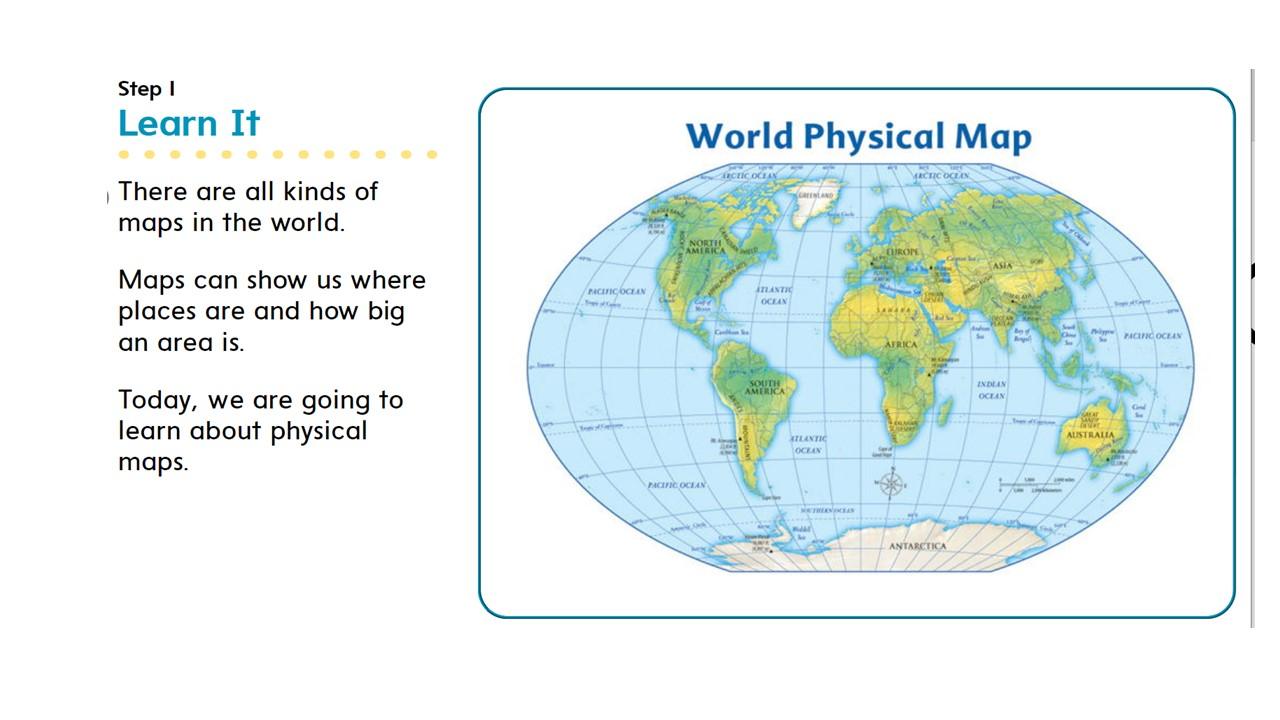
•
Social Studies
•
3rd Grade
•
Easy
Used 199+ times
FREE Resource
9 Slides • 10 Questions
1
Physical Maps

2

3
4

5
Multiple Choice

What is the title of this map?
6
Multiple Choice

Which part of the map helps you identify what you are looking at?
7

8

9

10

11
Multiple Choice

Which area has many lakes together.
12
Multiple Choice
Which area landform is very dry and has little rainfall?
13
Multiple Choice

What does the color green represent on the map?
14
Multiple Choice
Which areas of the map would have the higher elevation?
15
Multiple Choice

Which area would have the least plant life?
16
Multiple Choice
Where would you find low rolling hills and grasses?
17
Multiple Choice
Which area of the map is rocky and steep?
18
19
Open Ended
Physical Maps
Show answer
Auto Play
Slide 1 / 19
SLIDE
