
5th Grade Types of Maps Presentations
This Grade 5 presentation explains the different types of maps through visual learning and structured lesson slides. Students will discover physical maps, political maps, thematic maps, and topographic maps with clear examples and illustrations.

13 questions
Types of Maps
Presentation
•
4th - 6th Grade

22 questions
Types of Maps
Presentation
•
5th Grade

17 questions
Types of Maps
Presentation
•
5th Grade

11 questions
LEARNING ALL ABOUT MAP
Presentation
•
KG - 12th Grade
15 questions
Physical and Political Maps
Presentation
•
5th Grade

21 questions
Basic Map Skills
Presentation
•
5th - 9th Grade
15 questions
Physical and Political Maps
Presentation
•
4th - 5th Grade
32 questions
map skills
Presentation
•
5th Grade
15 questions
Political vs Physical Maps
Presentation
•
5th Grade
Explore 5th Grade Types of Maps Presentations
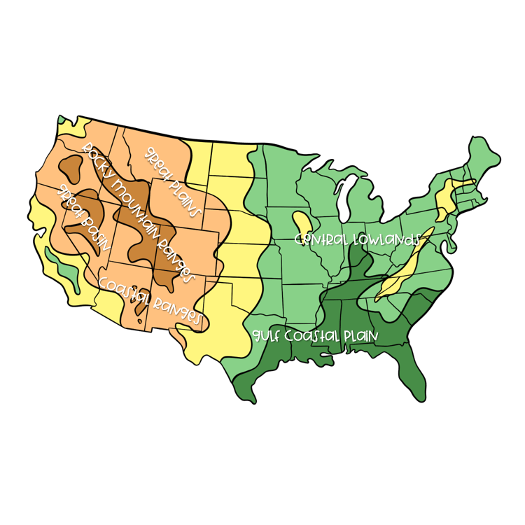
Types of maps form a fundamental component of Grade 5 geography education, requiring students to understand the purpose, characteristics, and applications of different cartographic representations. Wayground presentations deliver comprehensive concept explanation and visual learning experiences that introduce students to political maps, physical maps, thematic maps, and topographic maps through structured instruction. These educational resources develop critical spatial thinking skills as students learn to identify map symbols, interpret legends, understand scale relationships, and recognize how different map types serve specific purposes for navigation, research, and geographical analysis. The visual learning approach helps students grasp abstract concepts like elevation representation, boundary distinctions, and data visualization techniques used in modern cartography. Wayground supports geography educators with access to millions of teacher-created presentation resources that can be easily discovered through robust search and filtering capabilities aligned to state and national geography standards. Teachers can customize existing presentations or create differentiated versions to meet diverse learning needs, incorporating interactive elements and multimedia components that enhance student engagement with cartographic concepts. The platform's flexible digital delivery formats enable seamless integration into classroom instruction, remote learning environments, and hybrid educational models while supporting various teaching strategies from direct instruction to student-led exploration. These comprehensive tools empower educators to effectively plan sequential lessons, provide targeted remediation for students struggling with map interpretation skills, offer enrichment opportunities for advanced learners, and continuously reinforce essential geographical literacy concepts throughout the academic year.
Accessibility
Features
Wayground Super
School & District
Wayground for Business
Create a quiz
Create a presentation
Wayground AI
Subjects
Mathematics
Social Studies
Science
Physics
Chemistry
Biology
About
Our Story
Wayground Blog
Media Kit
Careers
Support
F.A.Q.
Help & Support
Privacy Policy
Terms of Service
Teacher Resources
2026 Wayground


Get our app

