Resource Type

Subjects
5th Grade Maps Presentations
This Grade 5 Maps presentation provides structured lesson slides that explain essential cartographic concepts through visual learning and clear instruction. Students will explore map elements, symbols, and navigation skills with engaging slides designed to build foundational geography knowledge.

13 questions
Types of Maps
Presentation
•
4th - 6th Grade
15 questions
Physical and Political Maps
Presentation
•
5th Grade

22 questions
Types of Maps
Presentation
•
5th Grade

10 questions
Maps
Presentation
•
5th - 8th Grade
27 questions
Maps!
Presentation
•
4th - 5th Grade

7 questions
Maps - Lesson 3
Presentation
•
5th Grade
31 questions
5th GBES Maps Intro Lesson
Presentation
•
5th Grade
22 questions
Solving Problems With Maps
Presentation
•
5th Grade
49 questions
Map Skills Lesson - U1L2
Presentation
•
5th Grade
32 questions
map skills
Presentation
•
5th Grade
17 questions
Types of Maps
Presentation
•
5th Grade
15 questions
Physical and Political Maps
Presentation
•
4th - 5th Grade
Explore 5th Grade Maps Presentations
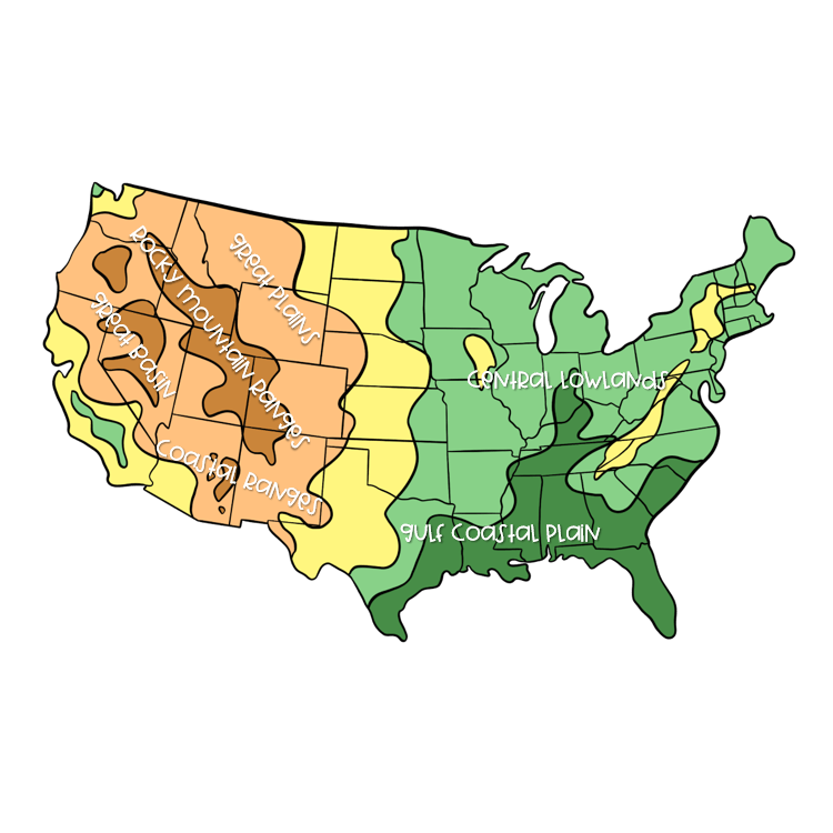
Maps presentations for Grade 5 students provide comprehensive visual learning experiences that develop essential geographic literacy and spatial thinking skills. These teacher-created resources from Wayground (formerly Quizizz) guide students through structured instruction covering map elements, coordinate systems, scale interpretation, and symbol recognition. Through concept explanation and interactive visual components, these presentations help fifth-grade learners understand how to read topographic maps, political boundaries, climate zones, and population density representations. Students develop critical geographic skills including directional orientation, distance measurement, and the ability to extract meaningful information from various map types used in social studies and science contexts. Wayground's extensive collection of millions of teacher-created map presentations supports educators with robust search and filtering capabilities that align with state geography standards and curriculum requirements. Teachers can easily locate age-appropriate content for Grade 5 students and customize presentations to match diverse learning needs through built-in differentiation tools. The platform's digital-first delivery format enables seamless classroom integration via interactive whiteboards, student devices, or hybrid learning environments. These flexible presentation resources support comprehensive lesson planning while providing targeted remediation for students struggling with spatial concepts and enrichment opportunities for advanced learners ready to explore complex cartographic skills, ensuring all fifth-grade students develop foundational map literacy competencies essential for geographic understanding.
Accessibility
Features
Wayground Super
School & District
Wayground for Business
Create a quiz
Create a presentation
Wayground AI
Subjects
Mathematics
Social Studies
Science
Physics
Chemistry
Biology
About
Our Story
Wayground Blog
Media Kit
Careers
Support
F.A.Q.
Help & Support
Privacy Policy
Terms of Service
Teacher Resources
2026 Wayground


Get our app

