Explore Year 4 erosion worksheets and printables that help students understand how wind, water, and ice shape Earth's surface through engaging practice problems with answer keys available as free PDF downloads.
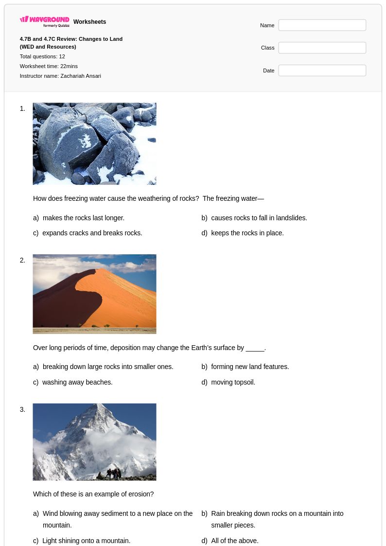
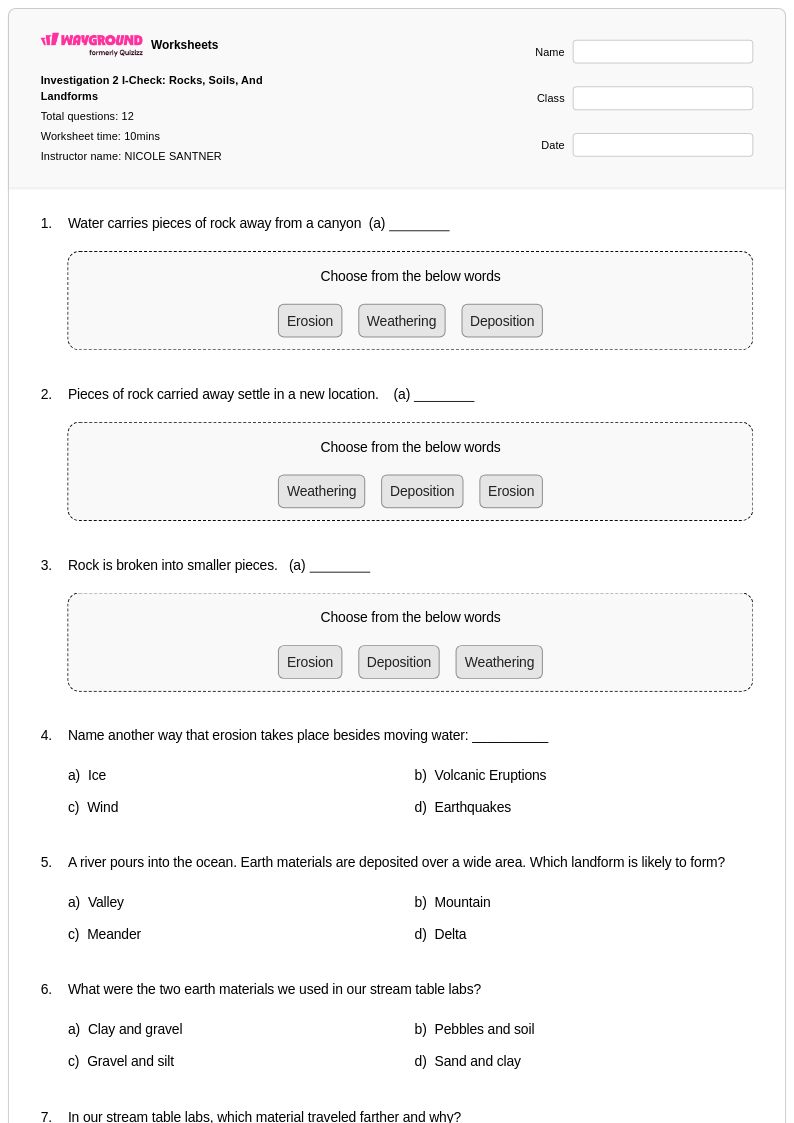
Year 4 erosion worksheets available through Wayground (formerly Quizizz) provide comprehensive coverage of how wind, water, ice, and gravity shape Earth's surface over time. These educational resources strengthen students' understanding of weathering processes, landform changes, and the scientific concepts behind erosion and deposition. The worksheet collection includes practice problems that guide fourth graders through identifying different types of erosion, analyzing before-and-after scenarios of landscape changes, and connecting erosion to real-world examples they observe in their environment. Each printable resource comes with a detailed answer key, allowing teachers to efficiently assess student comprehension while providing immediate feedback on concepts such as how rivers carve valleys, coastal erosion creates new shorelines, and glacial movement transforms mountain regions. These free pdf materials incorporate hands-on activities and visual learning opportunities that make abstract geological processes accessible to elementary learners.
Wayground (formerly Quizizz) supports educators with millions of teacher-created erosion resources that feature robust search and filtering capabilities, enabling quick discovery of materials aligned with specific learning objectives and educational standards. The platform's differentiation tools allow teachers to modify worksheet difficulty levels, customize content for diverse learning needs, and select from both printable pdf formats and interactive digital versions. These features streamline lesson planning by providing ready-to-use materials for introducing new erosion concepts, reinforcing classroom instruction, and addressing individual student needs through targeted remediation or enrichment activities. Teachers can efficiently organize skill practice sessions, create assessment opportunities, and build comprehensive unit plans using the platform's flexible customization options that accommodate different classroom environments and instructional approaches.
FAQs
How do I teach erosion to middle school students?
Start by grounding students in the difference between weathering and erosion, since conflating the two is one of the most common early misconceptions. From there, connect erosion to its agents — water, wind, ice, and gravity — using real-world landform examples like river deltas, sand dunes, and glacial valleys. Hands-on simulations, such as pouring water over a soil tray to model runoff erosion, help students visualize sediment transport and deposition as a connected sequence rather than isolated events.
What exercises help students practice identifying types of erosion?
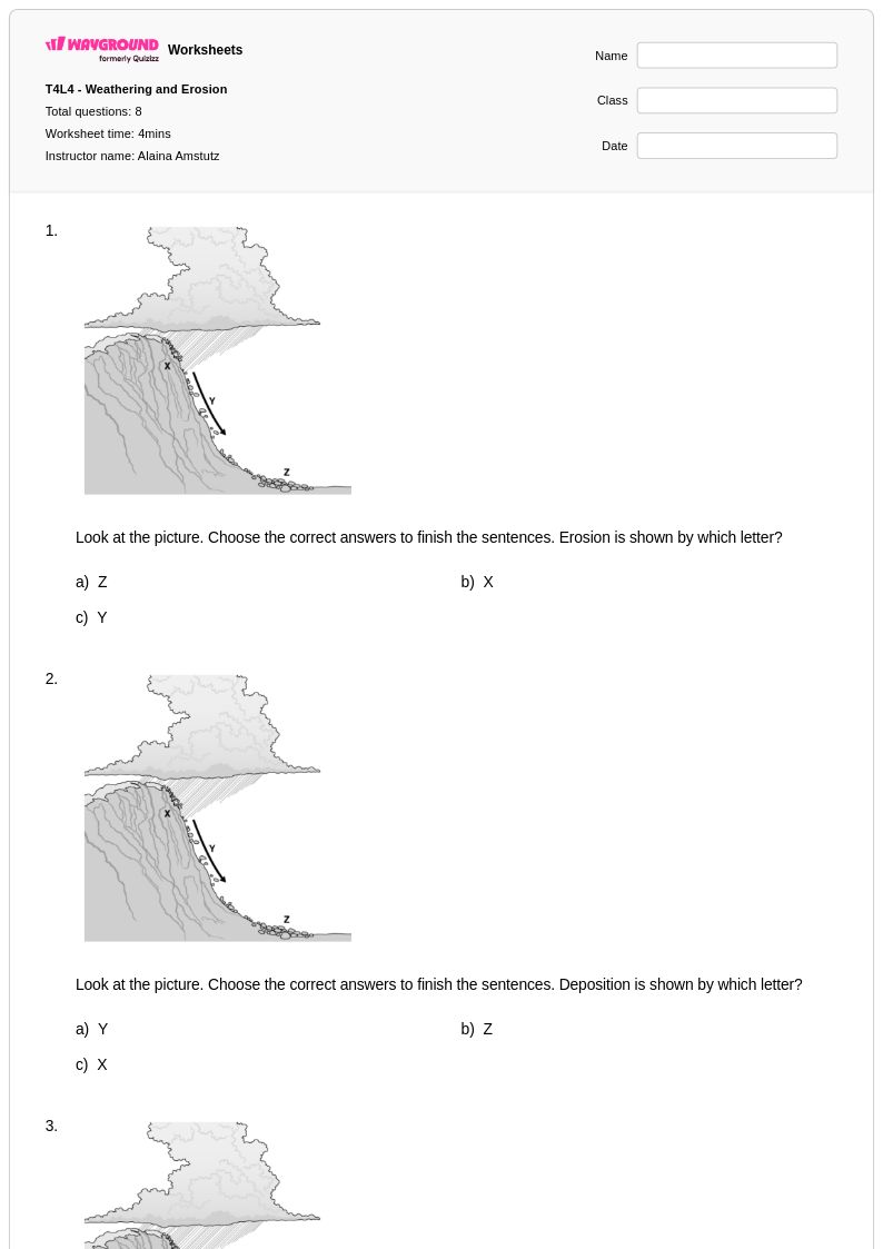
Effective practice tasks ask students to analyze landform images or data and attribute the erosion type responsible, rather than simply matching vocabulary terms to definitions. Problem sets that present scenarios — such as a coastal cliff retreating or a river bend widening — and require students to predict future landscape changes build the analytical reasoning that erosion instruction aims to develop. Practice problems that connect erosion type to its agent (e.g., glacial erosion carving U-shaped valleys vs. water erosion forming V-shaped valleys) reinforce conceptual distinctions through applied comparison.
What are common misconceptions students have about erosion?
The most persistent misconception is that weathering and erosion are the same process. Students often use the terms interchangeably, not recognizing that weathering breaks material down in place while erosion involves the movement of that material. A second common error is assuming erosion is always slow and gradual — students are often surprised to learn that flash floods, landslides, and wave action can reshape landforms rapidly. A third misconception is underestimating human impact; students frequently overlook how deforestation, agriculture, and construction significantly accelerate natural erosion rates.
How do I explain the relationship between erosion and deposition to students?
Erosion and deposition are two halves of the same process: eroded material is transported by an agent and then deposited when that agent loses energy. A useful classroom framing is to follow a single sediment particle — picked up by a river during heavy rain, carried downstream, and eventually deposited as a delta where the river slows. This narrative approach helps students see erosion not as a standalone event but as part of a continuous cycle that reshapes Earth's surface over time.
How can I use erosion worksheets to support students at different skill levels?
Erosion worksheets can be differentiated by adjusting the complexity of the task — lower-level tasks might ask students to label erosion agents on a diagram, while higher-level tasks require interpreting erosion data or evaluating prevention strategies. On Wayground, teachers can apply individual student accommodations such as reduced answer choices to lower cognitive load for students who need additional support, or enable Read Aloud for students who benefit from audio delivery of questions. These settings can be configured per student and reused across sessions, making it practical to maintain differentiated instruction without rebuilding materials each time.
How do I use Wayground's erosion worksheets in my classroom?
Wayground's erosion worksheets are available as free printable PDFs for traditional classroom use and in digital formats for technology-integrated environments, giving teachers flexibility in how they assign and collect student work. Digital versions can be hosted as a quiz directly on Wayground, allowing teachers to track student responses and review results in one place. The worksheets include detailed answer keys, which makes them practical for independent practice, homework assignments, or review sessions where students self-check their work.