Free Printable Ocean Currents Worksheets for Year 12
Explore Year 12 ocean currents worksheets and printables that help students master Earth & Space Science concepts through engaging practice problems, free PDF resources, and comprehensive answer keys.
Explore printable Ocean Currents worksheets for Year 12
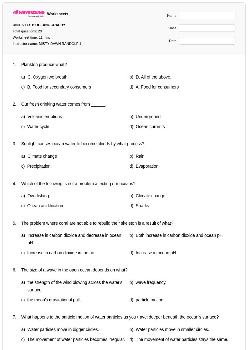
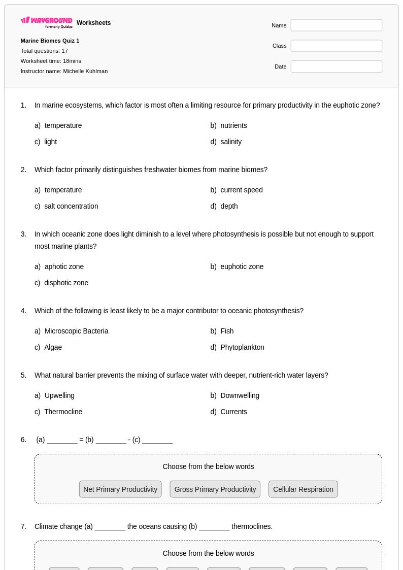
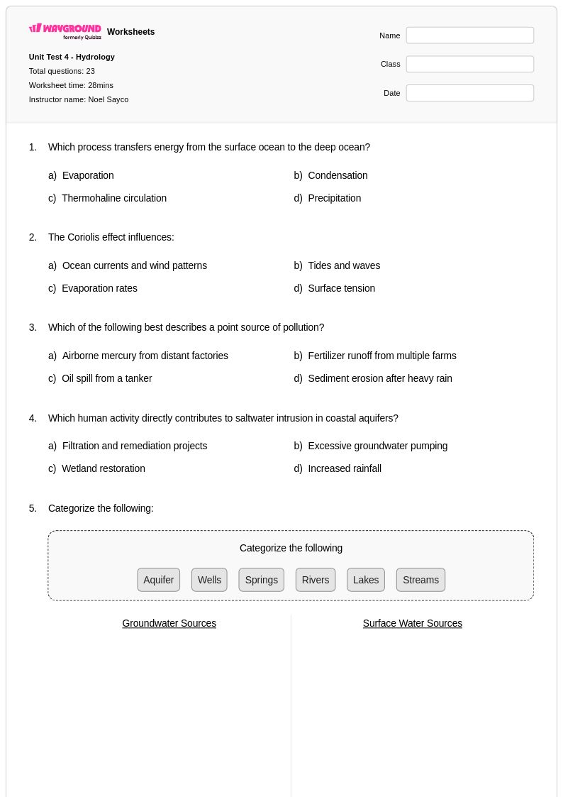
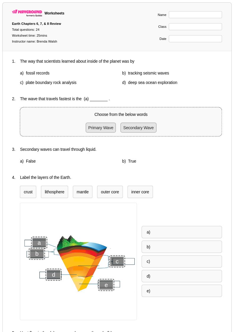
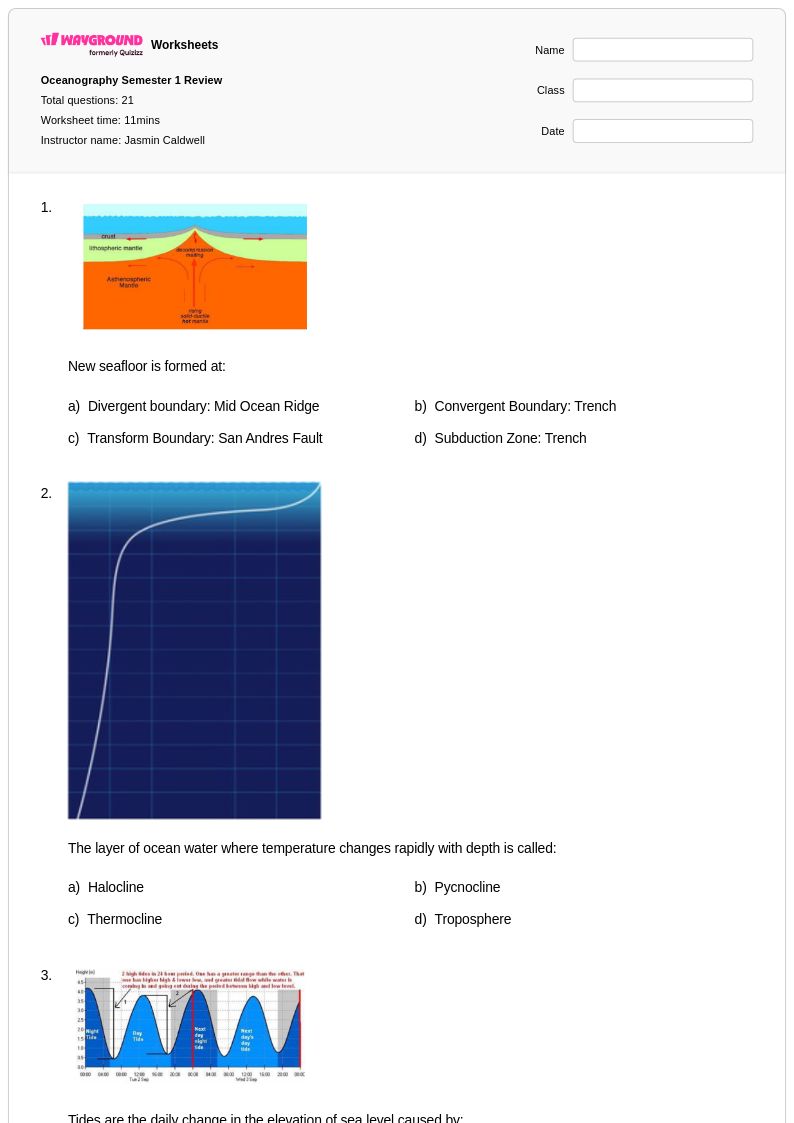
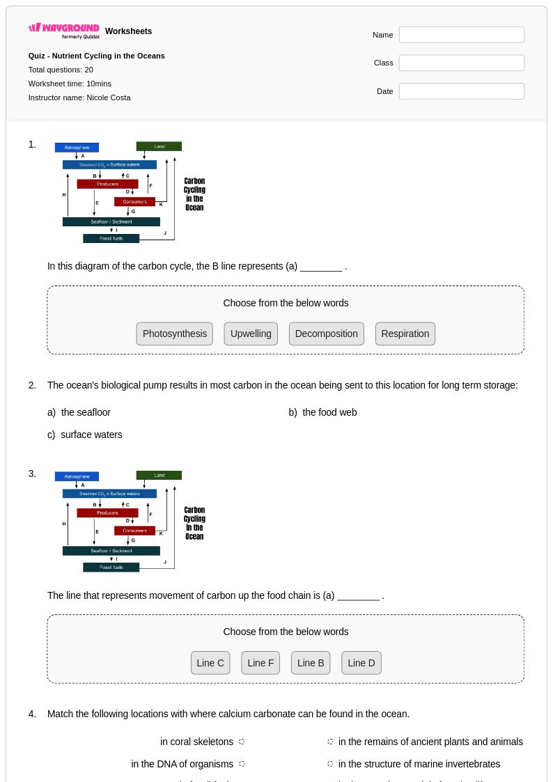
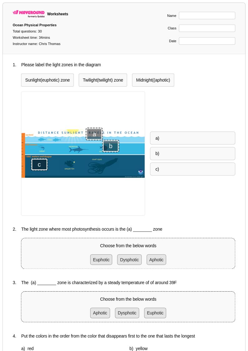
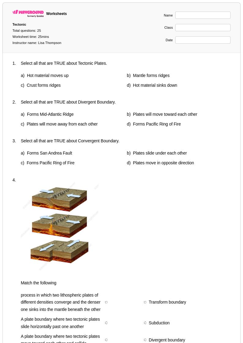
Ocean currents worksheets for Year 12 students available through Wayground (formerly Quizizz) provide comprehensive coverage of this fundamental Earth and Space Science concept that governs global climate patterns and marine ecosystems. These expertly crafted educational resources strengthen students' understanding of thermohaline circulation, surface currents driven by wind patterns, and the complex interactions between temperature, salinity, and density that create deep water masses. The worksheets feature detailed practice problems that challenge students to analyze current maps, interpret oceanographic data, and connect ocean circulation to broader climate systems including El Niño and La Niña phenomena. Each resource includes a complete answer key and is available as free printables in pdf format, making them accessible for both classroom instruction and independent study sessions.
Wayground (formerly Quizizz) supports educators with an extensive collection of millions of teacher-created ocean currents worksheets specifically designed for advanced high school science instruction. The platform's robust search and filtering capabilities allow teachers to quickly locate materials aligned with specific curriculum standards and learning objectives, while differentiation tools enable customization for students with varying academic needs. These resources are available in both printable pdf format and interactive digital versions, providing flexibility for traditional classroom settings and technology-enhanced learning environments. Teachers can efficiently plan comprehensive units on ocean circulation, create targeted remediation materials for struggling students, develop enrichment activities for advanced learners, and design skill practice sessions that reinforce critical concepts in marine science and global climate systems.
FAQs
How do I teach ocean currents in a way students actually understand?
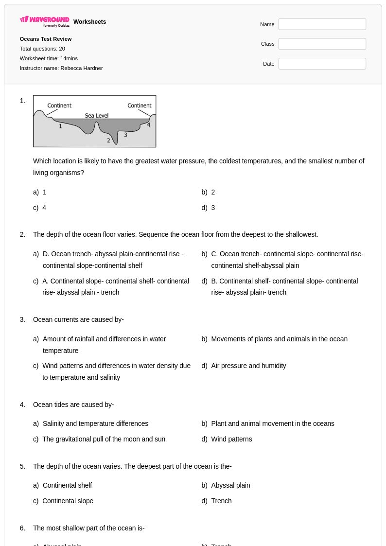
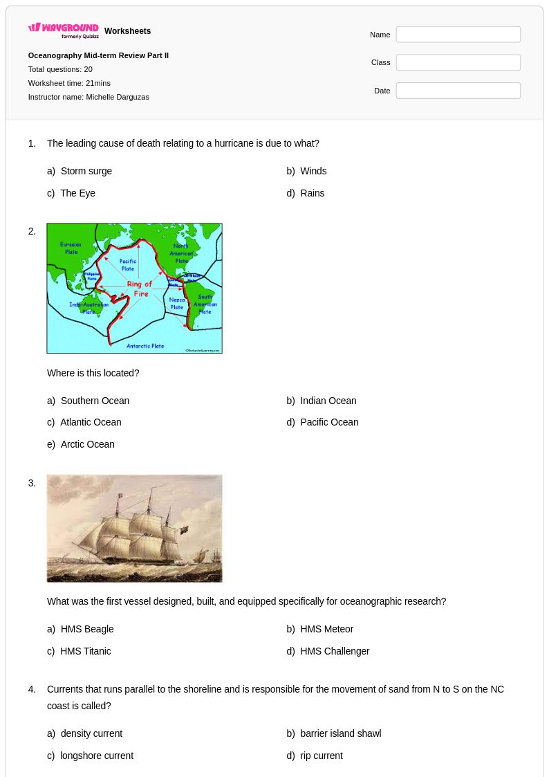
Start by distinguishing between surface currents, which are driven by wind patterns and the Coriolis effect, and deep-water currents, which are driven by differences in temperature and salinity through thermohaline circulation. Using visual aids like global current maps alongside structured worksheets helps students connect abstract circulation patterns to real-world phenomena like the Gulf Stream and its effect on regional climates. Grounding lessons in concrete examples, such as how upwelling brings cold, nutrient-rich water to the surface and supports marine food webs, makes the concept more tangible.
What types of practice problems help students understand ocean currents?
Effective practice problems ask students to analyze how temperature and salinity differences create density gradients that drive deep-ocean circulation, interpret current maps to trace the movement of warm and cold water masses, and explain the role of the Coriolis effect in deflecting surface currents. Questions that connect ocean currents to climate outcomes, such as how the Gulf Stream moderates temperatures in Western Europe, push students to apply conceptual understanding rather than just recall definitions. Varied formats including diagram labeling, short-answer analysis, and data interpretation build a fuller range of skills.
What mistakes do students commonly make when learning about ocean currents?
A frequent misconception is that all ocean currents behave the same way, when in fact surface currents and deep-water thermohaline currents have fundamentally different drivers. Students often conflate wind as the sole cause of ocean movement, overlooking how salinity and temperature differences create density-driven flow in the deep ocean. Another common error is misapplying the Coriolis effect, with students struggling to correctly predict whether currents deflect to the right or left depending on the hemisphere.
How do ocean currents affect climate and marine ecosystems?
Ocean currents redistribute heat energy around Earth, meaning they significantly moderate coastal climates far from the equator. The Gulf Stream, for example, carries warm tropical water northward and keeps much of Western Europe warmer than its latitude would otherwise allow. Upwelling currents bring cold, nutrient-rich water to the surface, creating highly productive marine zones that support large fish populations and the broader food web. Teaching students these connections helps them see ocean circulation as a planetary-scale system rather than an isolated topic.
How do I use Wayground's ocean currents worksheets in my classroom?
Wayground's ocean currents worksheets are available as printable PDFs for traditional classroom use and in digital formats for technology-integrated or remote learning environments, and can also be hosted as a quiz directly on Wayground. Each worksheet includes a complete answer key, supporting both teacher-led instruction and independent student practice. For students who need accommodations, Wayground allows teachers to enable features such as read aloud, extended time, and reduced answer choices on a per-student basis, ensuring all learners can access the material without singling anyone out.
How can I differentiate ocean currents instruction for struggling or advanced students?
For struggling students, focus first on surface currents and wind patterns before introducing the more complex thermohaline circulation system, and use labeled diagrams to reduce abstract thinking demands. Wayground supports individual accommodations such as read aloud for students who need audio support, reduced answer choices to lower cognitive load, and extended time, all configurable per student without notifying the rest of the class. For advanced learners, enrichment tasks might include analyzing how disruptions to thermohaline circulation, such as melting ice caps altering salinity levels, could affect global climate patterns.