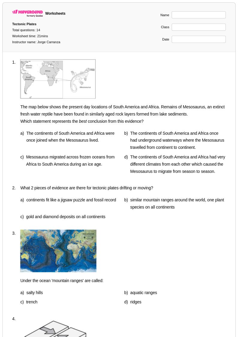
Free Printable Plate Boundaries Worksheets for Class 7
Class 7 plate boundaries worksheets from Wayground provide free printables and practice problems with answer keys to help students explore tectonic plate interactions, convergent and divergent boundaries, and geological processes that shape Earth's surface.
Explore printable Plate Boundaries worksheets for Class 7
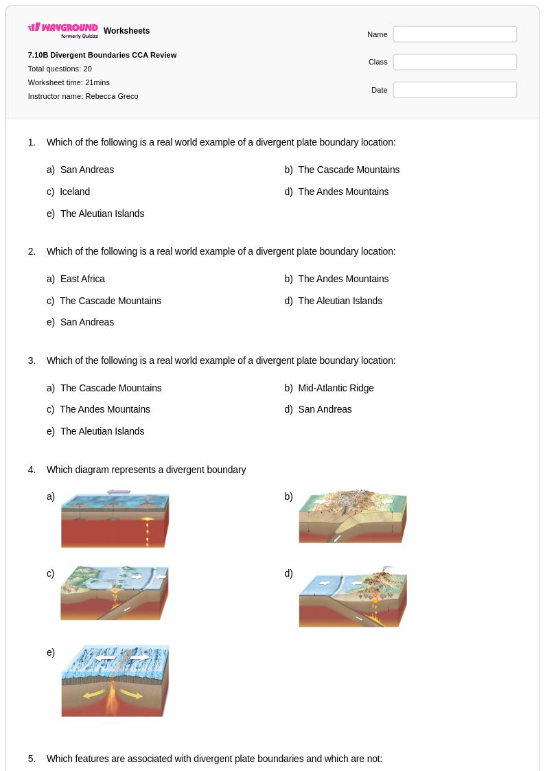
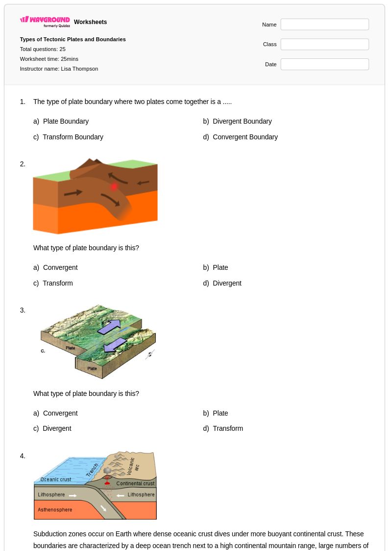
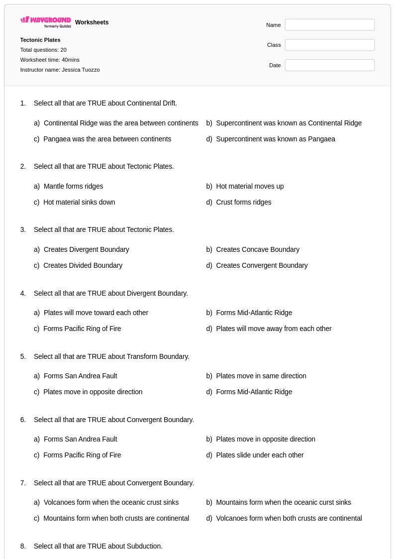
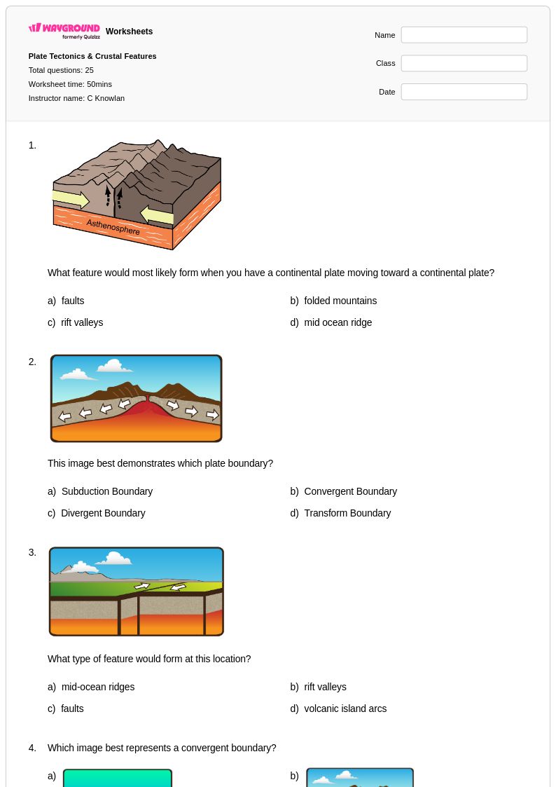
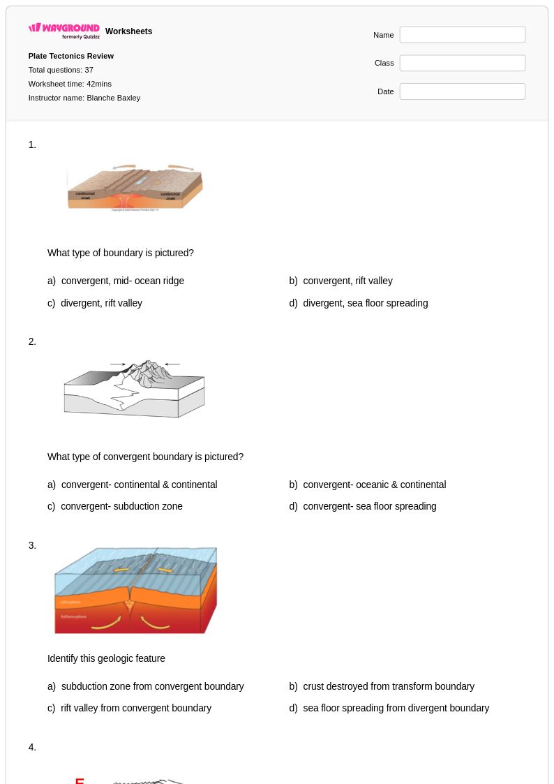
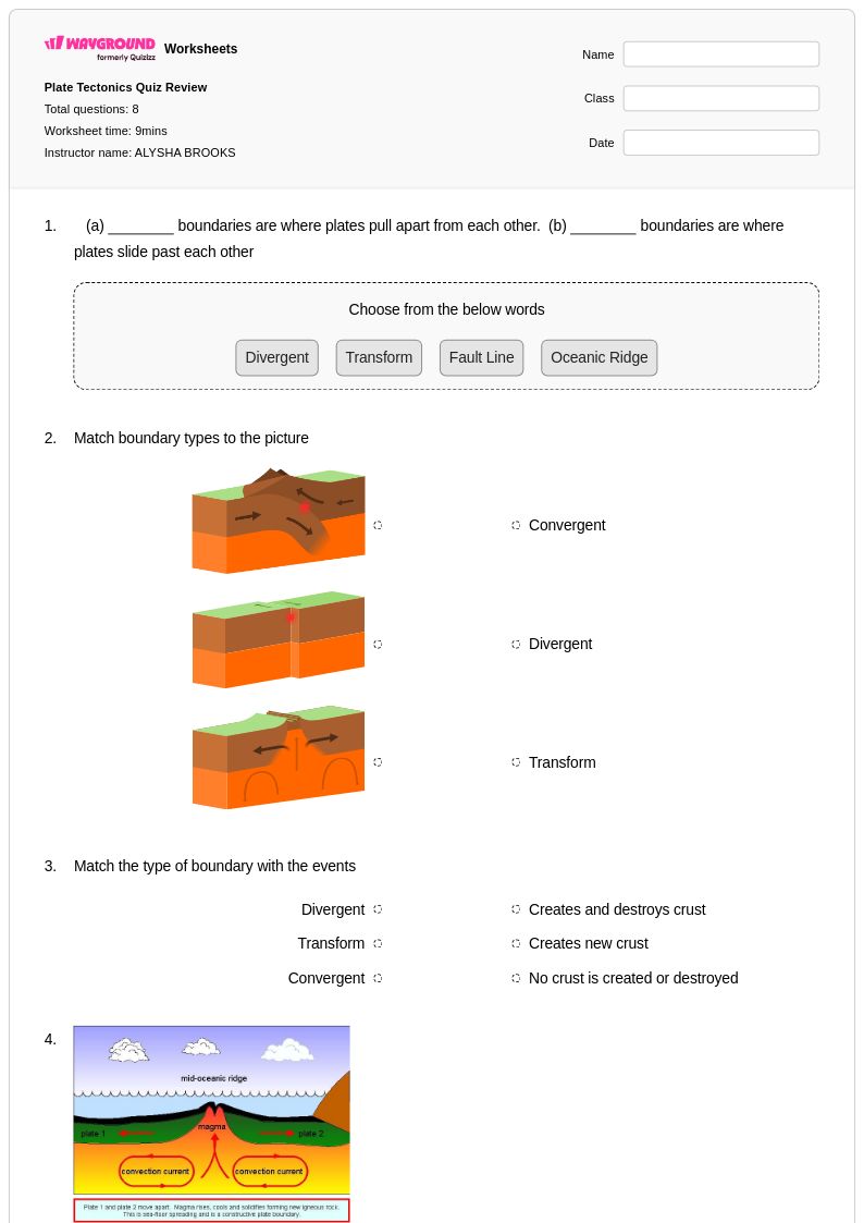
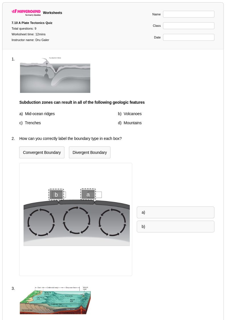
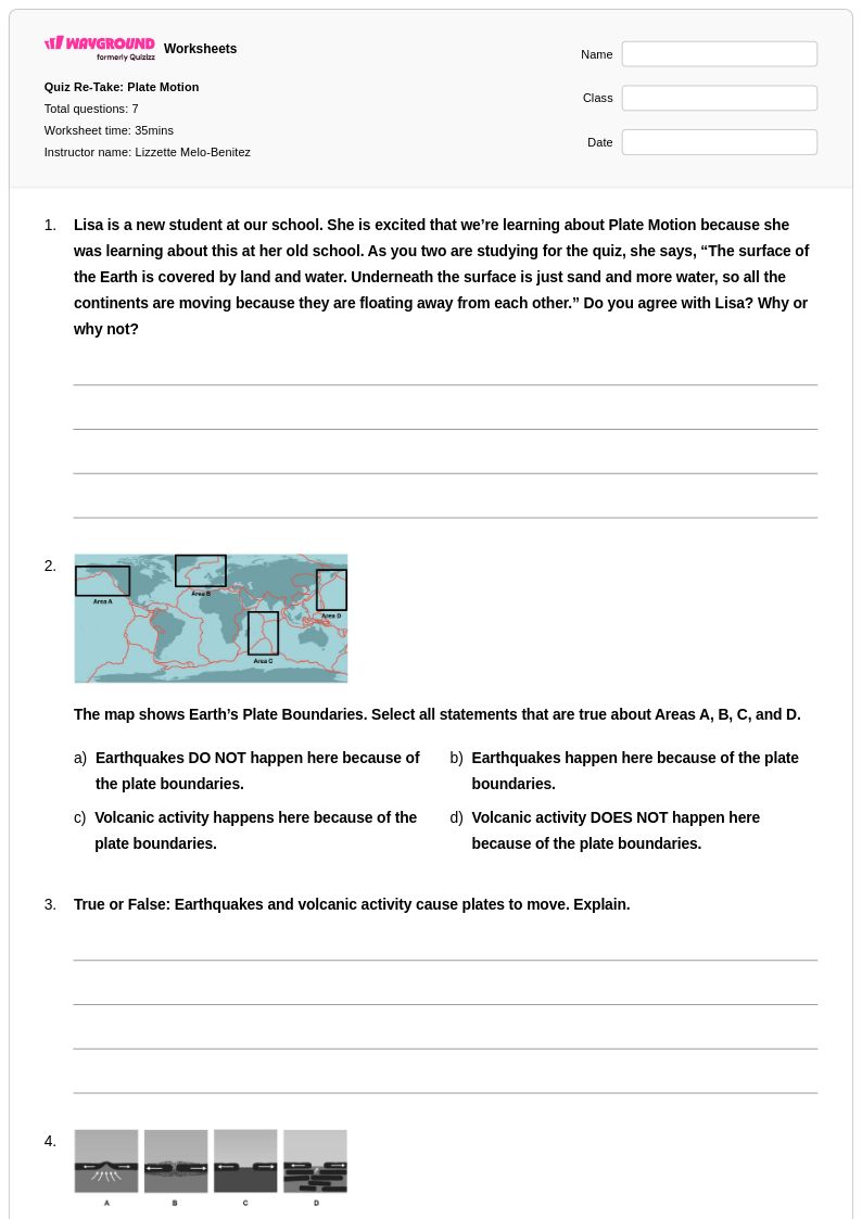
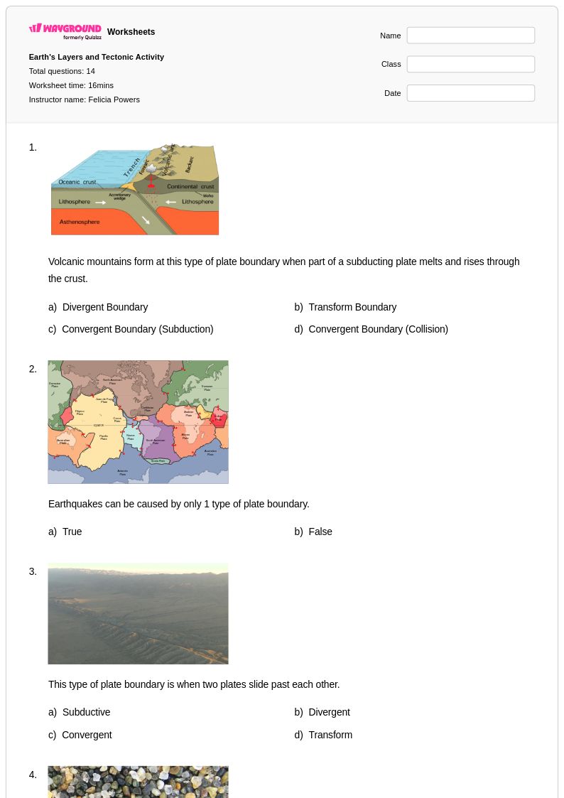
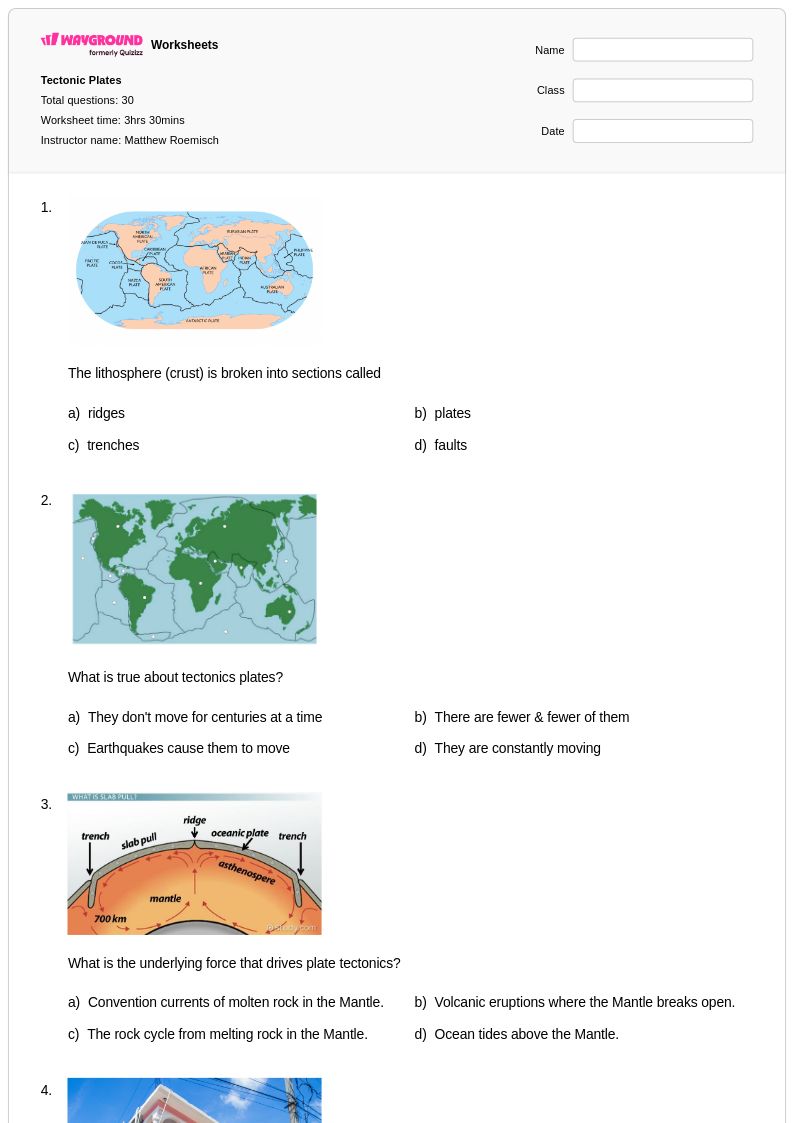
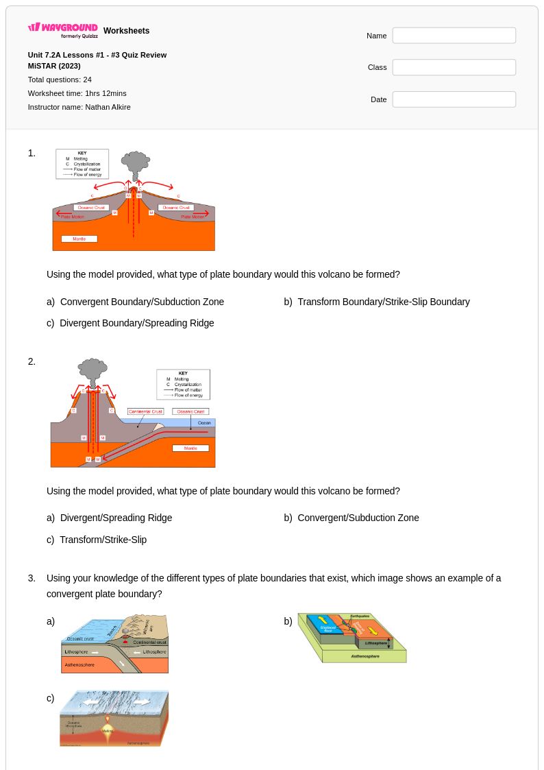
Class 7 plate boundaries worksheets available through Wayground (formerly Quizizz) provide comprehensive coverage of the dynamic interactions between Earth's tectonic plates, helping students master this fundamental concept in earth science. These carefully designed resources strengthen critical thinking skills as students analyze the three main types of plate boundaries—divergent, convergent, and transform—while exploring real-world examples such as the Mid-Atlantic Ridge, Himalayan Mountains, and San Andreas Fault. Each worksheet collection includes detailed answer keys and features a variety of practice problems that challenge students to identify boundary types, predict geological outcomes, and connect plate movement to phenomena like earthquakes, volcanic activity, and mountain formation. Available as free printables in convenient PDF format, these resources enable students to visualize complex geological processes and develop a deeper understanding of how plate tectonics shape our planet's surface features.
Wayground (formerly Quizizz) empowers educators with an extensive library of millions of teacher-created plate boundaries worksheets, offering robust search and filtering capabilities that allow quick identification of resources perfectly matched to Class 7 learning objectives and standards alignment requirements. The platform's differentiation tools enable teachers to customize content complexity, ensuring that struggling students receive appropriate scaffolding while advanced learners encounter enriching challenges that extend their geological knowledge. These versatile worksheet collections are available in both printable and digital formats, including downloadable PDFs, making them ideal for classroom instruction, homework assignments, remediation sessions, and independent skill practice. Teachers can efficiently plan comprehensive plate boundaries units by accessing resources that span from basic concept introduction through advanced application problems, supporting diverse learning needs while maintaining academic rigor in earth and space science instruction.
FAQs
How do I teach the three types of plate boundaries to middle or high school students?
Start by grounding students in the concept of tectonic plates as massive crustal segments in constant motion before introducing the three boundary types: divergent, convergent, and transform. Use real-world anchors like the Mid-Atlantic Ridge (divergent), the Himalayas (convergent), and the San Andreas Fault (transform) to make each type concrete. Having students map boundary types onto a world map and match them to corresponding geological features like volcanoes, trenches, and rift zones builds the spatial reasoning needed to understand plate tectonics as a system.
What exercises help students practice identifying plate boundary types?
Effective practice exercises ask students to classify boundary types from diagrams, cross-sections, and real-world geographic examples rather than just definitions. Tasks that connect boundary type to geological outcome, such as identifying whether a boundary would produce a volcano, earthquake, or mountain range, reinforce cause-and-effect reasoning. Practice problems that reference specific locations like the Cascadia Subduction Zone or the East African Rift help students move beyond memorization toward applied understanding.
What mistakes do students commonly make when learning about plate boundaries?
A common misconception is that all plate boundaries produce volcanic activity, when in fact transform boundaries typically do not generate volcanoes. Students also frequently confuse oceanic-oceanic convergence with oceanic-continental convergence, missing that the denser plate subducts in both cases but the surface results differ. Another recurring error is treating divergent boundaries as purely oceanic phenomena, overlooking continental rift examples like the East African Rift Valley.
How can I differentiate plate boundaries instruction for students at different skill levels?
For students who need additional support, reduce the complexity of diagrams and focus on one boundary type at a time before comparing all three. Advanced learners benefit from analyzing seismic and volcanic data maps to infer boundary locations without being told where they are. On Wayground, teachers can apply accommodations such as read aloud support and reduced answer choices for individual students, while the rest of the class works under default settings, making differentiation seamless without drawing attention to individual needs.
How do I use plate boundaries worksheets from Wayground in my classroom?
Wayground's plate boundaries worksheets are available as printable PDFs for traditional classroom use and in digital formats for technology-integrated or remote learning environments. Teachers can also host the material as a quiz directly on Wayground, enabling real-time student responses and immediate feedback. Both formats come with complete answer keys, so the worksheets work equally well for guided instruction, independent practice, or homework assignments.
How does plate boundary type connect to earthquake and volcanic activity patterns?
Convergent boundaries, particularly subduction zones, are associated with the most powerful earthquakes and explosive volcanic eruptions due to the stress and melting generated as one plate descends beneath another. Divergent boundaries produce moderate seismic activity and effusive volcanic eruptions, as magma fills the gap created by separating plates. Transform boundaries like the San Andreas Fault generate significant earthquakes from lateral plate grinding but lack the pressure-release mechanism needed for volcanic activity.