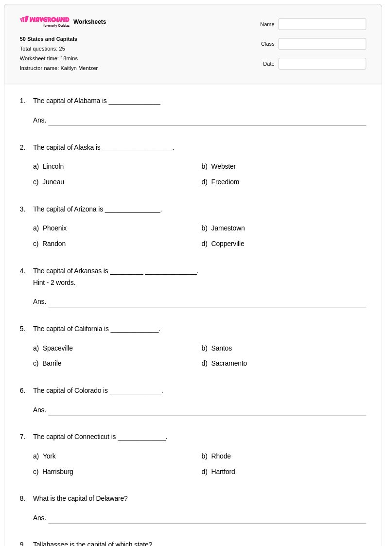
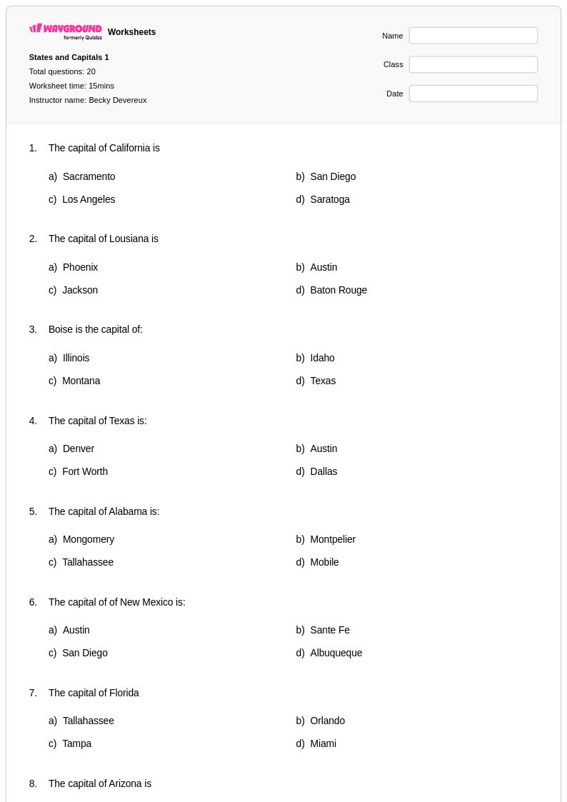
Master states and capitals with Wayground's comprehensive collection of free geography worksheets, featuring engaging printables, practice problems, and answer keys to help students confidently identify and memorize all 50 U.S. states and their capitals.
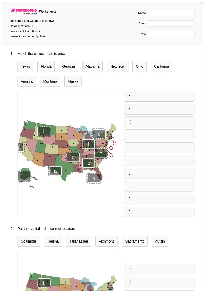
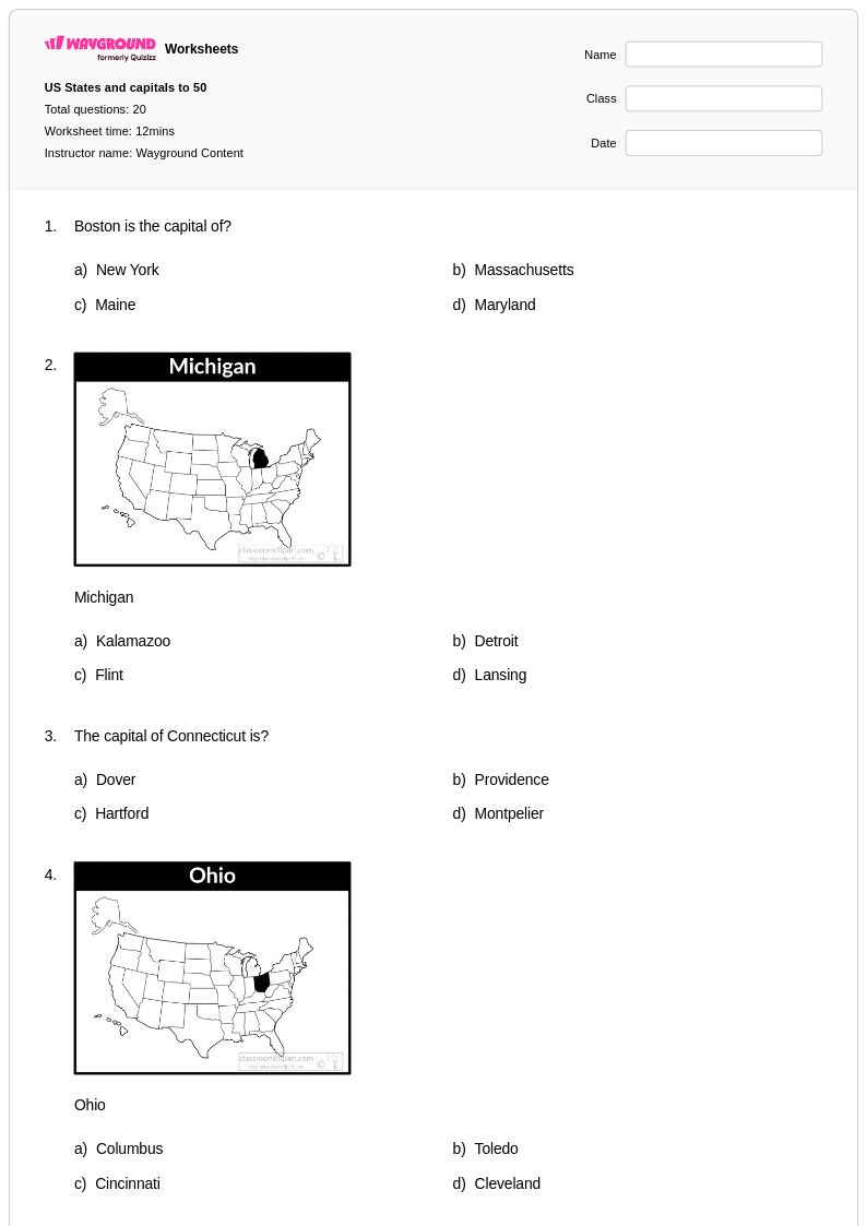
States and capitals worksheets available through Wayground (formerly Quizizz) provide comprehensive practice for students learning essential geographic knowledge about the United States. These educational resources strengthen critical skills including memorization techniques, spatial awareness, and foundational geography concepts that serve as building blocks for more advanced social studies learning. The worksheet collection features diverse practice problems ranging from basic matching exercises to more complex activities that require students to identify state locations, recall capital cities, and understand regional relationships across America. Teachers can access complete answer keys alongside each printable resource, ensuring efficient grading and immediate feedback opportunities. These free materials support both classroom instruction and independent study, offering students multiple pathways to master this fundamental geographic content through repeated practice and reinforcement.
Wayground (formerly Quizizz) empowers educators with millions of teacher-created resources specifically designed for states and capitals instruction, featuring robust search and filtering capabilities that allow quick identification of appropriate materials for any classroom need. The platform's standards alignment ensures that worksheets meet curriculum requirements while differentiation tools enable teachers to customize content for diverse learning levels and abilities. These versatile resources are available in both printable pdf formats for traditional classroom use and digital formats for technology-integrated learning environments, providing maximum flexibility for lesson planning and implementation. Teachers utilize these comprehensive collections for targeted skill practice, remediation support for struggling learners, and enrichment opportunities for advanced students, creating a complete instructional ecosystem that adapts to individual classroom dynamics and student needs throughout the academic year.
FAQs
What are the best strategies for teaching students to memorize all 50 states and capitals?
Chunking states by region is one of the most effective approaches — teach the Northeast, Southeast, Midwest, Southwest, and West as separate units before combining them. Pairing each state with its capital through repetition, mnemonics, and visual mapping helps students build durable memory rather than short-term recall. Frequent low-stakes practice, such as matching exercises and fill-in-the-blank drills, reinforces retention over time.
What kinds of worksheet exercises help students practice states and capitals?
Matching exercises that pair state names with capitals are a strong starting point, particularly for initial exposure. As students gain confidence, fill-in-the-blank activities, labeled map exercises, and region-based identification tasks build deeper spatial and factual recall. Varied practice formats prevent rote memorization from stalling and push students toward flexible, retrieval-based knowledge.
What mistakes do students commonly make when learning states and capitals?
Students frequently confuse state capitals with the largest or most well-known city in that state — for example, assuming New York City is New York's capital or Los Angeles is California's capital. Regional groupings also cause errors, as students mix up similarly named or geographically close states like Indiana and Illinois or Montana and Minnesota. Targeted practice that explicitly addresses these common confusions is more effective than general review.
How can I differentiate states and capitals instruction for students at different skill levels?
For students who are still building foundational knowledge, start with a single region and use matching activities with visual map support before expanding to the full 50 states. More advanced students can be challenged with blank map labeling, timed recall exercises, or regional grouping tasks without prompts. On Wayground, teachers can apply accommodations such as reduced answer choices for students who need less cognitive load, or enable Read Aloud so questions are read to students who benefit from audio support.
How do I use Wayground's states and capitals worksheets in my classroom?
Wayground's states and capitals worksheets are available as printable PDFs for traditional classroom use and in digital formats for technology-integrated environments, giving teachers flexibility in how they deploy the materials. Teachers can also host worksheets directly as a quiz on Wayground, enabling real-time student responses and immediate feedback. Each worksheet includes a complete answer key, which reduces grading time and allows teachers to return scored work quickly.
At what grade level should students be expected to know all 50 states and capitals?
Most U.S. curriculum frameworks introduce state and capital identification in grades 4 and 5, with full mastery of all 50 states and capitals typically expected by the end of middle school. However, introductory exposure often begins in third grade through regional geography units. Pacing varies by state standards, so aligning worksheet practice to your specific curriculum scope and sequence is important.