Free Printable River Valley Civilizations Worksheets for Class 3
Class 3 River Valley Civilizations free worksheets and printables help students explore ancient Mesopotamia, Egypt, and Indus Valley through engaging practice problems with answer keys available as downloadable PDFs.
Explore printable River Valley Civilizations worksheets for Class 3
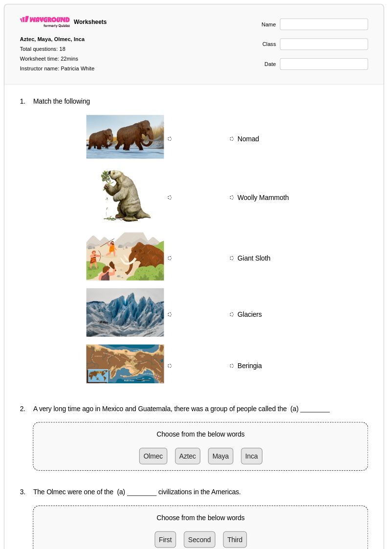
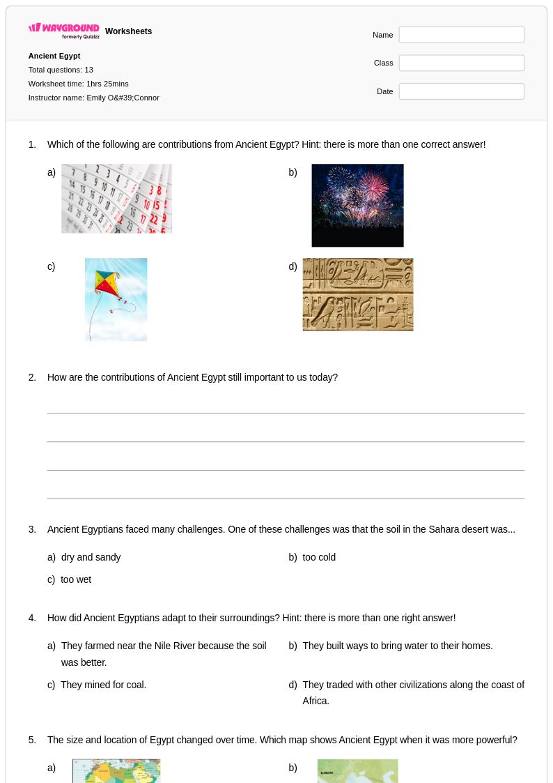
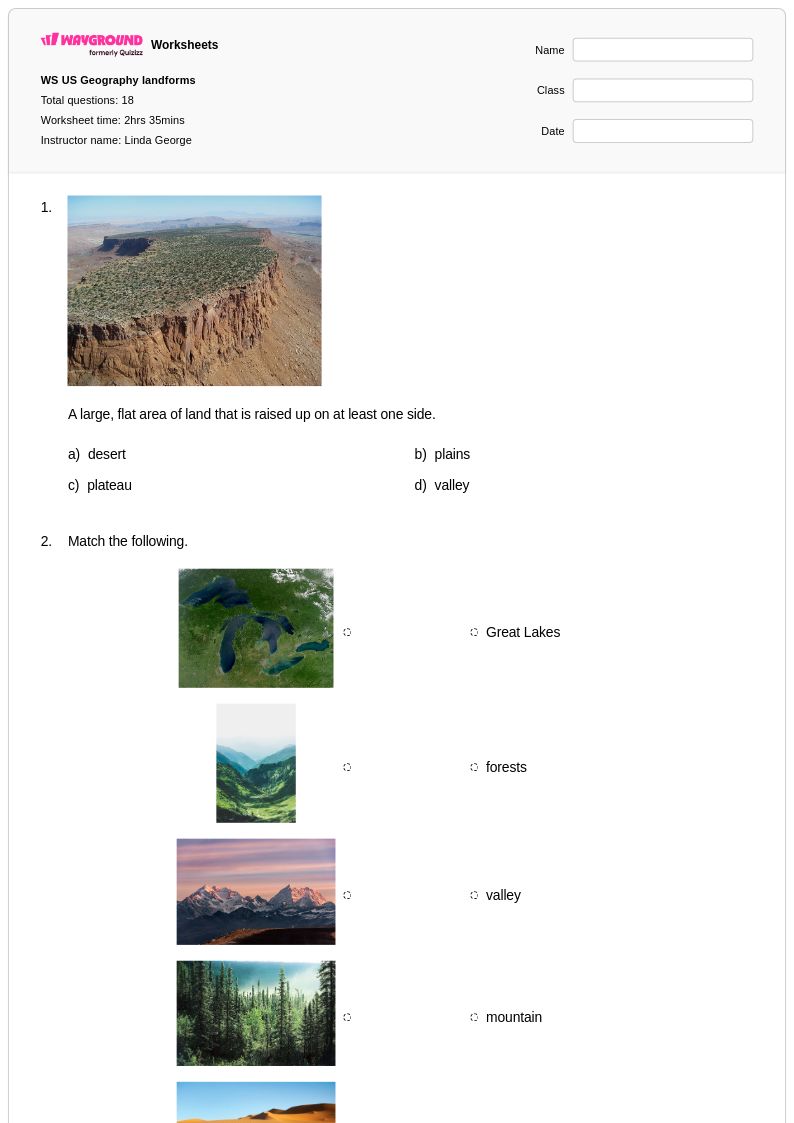
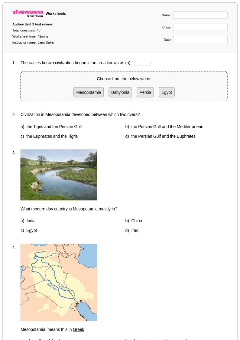
River Valley Civilizations worksheets for Class 3 through Wayground provide young learners with engaging activities that explore humanity's earliest complex societies along the Nile, Tigris-Euphrates, Indus, and Yellow Rivers. These carefully designed printables strengthen students' understanding of how geography influenced ancient settlement patterns, agricultural development, and the emergence of organized communities. Each worksheet collection includes comprehensive answer keys and focuses on developing critical thinking skills as students analyze maps, compare civilizations, and examine primary source materials adapted for third-grade reading levels. The free pdf resources feature practice problems that help students identify key characteristics of river valley societies, including their innovations in writing, governance, and technology, while building essential social studies vocabulary and analytical skills.
Wayground's extensive library contains millions of teacher-created River Valley Civilizations resources specifically aligned with Class 3 social studies standards, offering educators unprecedented flexibility in lesson planning and student support. The platform's advanced search and filtering capabilities enable teachers to quickly locate materials that match their specific curriculum requirements, whether for whole-class instruction, small group activities, or individual practice sessions. These differentiated worksheets support diverse learning needs through customizable difficulty levels and multiple format options, including both printable and digital versions that facilitate seamless integration into various teaching environments. Teachers rely on these comprehensive collections for targeted skill practice, remediation support for struggling learners, and enrichment opportunities for advanced students, ensuring that every third-grader develops a solid foundation in understanding how ancient civilizations shaped human development along the world's great rivers.
FAQs
How do I teach river valley civilizations to middle or high school students?
Teaching river valley civilizations effectively starts with establishing geographic context — students need to understand why rivers like the Tigris, Euphrates, Nile, Indus, and Yellow River made complex societies possible before examining the civilizations themselves. A strong sequence moves from physical geography and agricultural conditions into governmental structures, religious beliefs, and technological innovations. Comparative studies that ask students to identify shared patterns across Mesopotamia, Egypt, the Indus Valley, and early China help develop the analytical thinking this topic demands.
What exercises help students practice comparing ancient river valley civilizations?
Map analysis, primary source interpretation, and structured comparative charts are the most effective practice formats for this topic. Students benefit from exercises that ask them to connect geographic factors — river flooding patterns, soil fertility, trade routes — to specific social and political developments in each civilization. Practice problems that address agricultural innovations, religious systems, and early governance across multiple civilizations simultaneously help students move beyond memorization toward genuine analytical comparison.
What mistakes do students commonly make when studying river valley civilizations?
The most common error is treating each civilization in isolation rather than recognizing the shared geographic logic that underlies all four. Students also frequently conflate Mesopotamia with a single culture, overlooking that it encompassed successive societies including the Sumerians, Akkadians, and Babylonians. Another persistent misconception is underestimating the role of geography — students often attribute civilizational development solely to cultural factors without understanding how river systems directly enabled agricultural surplus, population growth, and state formation.
How can I use river valley civilizations worksheets to support different skill levels in the same class?
Worksheets that combine map analysis with written response questions naturally allow differentiation — lower-level tasks like labeling geographic features can be paired with higher-order prompts asking students to explain causal relationships between geography and societal development. On Wayground, teachers can apply student-level accommodations such as read aloud support, reduced answer choices, and extended time to individual students without disrupting the rest of the class, making it practical to run differentiated assignments from the same resource.
How do I use Wayground's river valley civilizations worksheets in my classroom?
Wayground's river valley civilizations worksheets are available as printable PDFs for traditional classroom use and in digital formats for technology-integrated or remote learning environments. Teachers can host worksheets directly as a quiz on Wayground, allowing students to complete them online while the teacher tracks responses in real time. Each worksheet includes a complete answer key, supporting both independent student practice and teacher-led review sessions.
How do geographic factors connect to the rise of early civilizations, and how do I help students understand this relationship?
River valleys provided three conditions essential for complex societies: reliable freshwater, fertile floodplain soil, and natural transportation corridors for trade. Helping students understand this relationship requires moving beyond the statement that 'rivers were important' toward specific causal analysis — for example, why annual Nile flooding produced predictable agricultural surpluses that freed labor for monumental construction, or why the less predictable flooding of the Tigris and Euphrates influenced Mesopotamian religious worldviews. Map-based exercises and comparative primary source work are particularly effective at making these geographic-to-social connections visible.