Explore Wayground's free Northeast Region geography worksheets and printables that help students master the states, capitals, landforms, and cultural features of America's northeastern states through engaging practice problems and comprehensive answer keys.
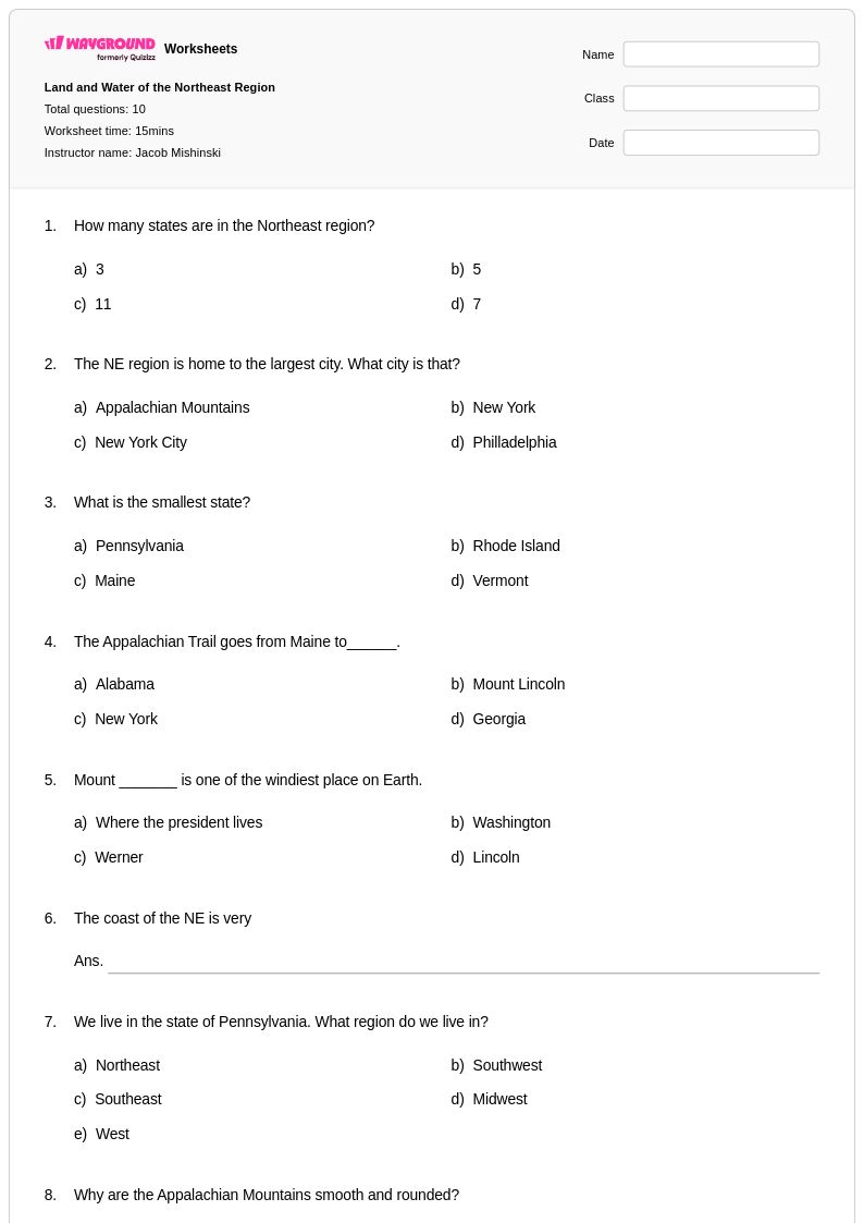
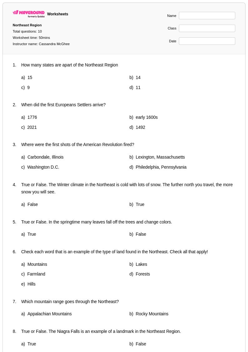
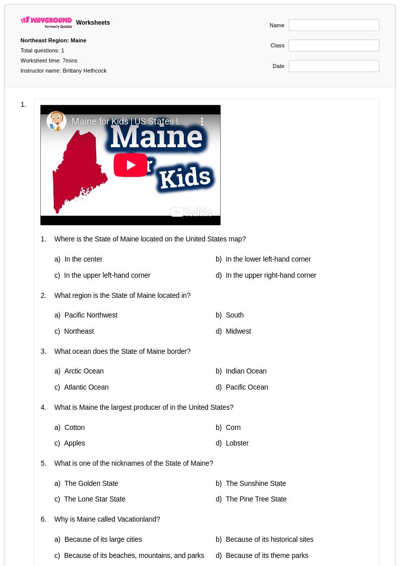
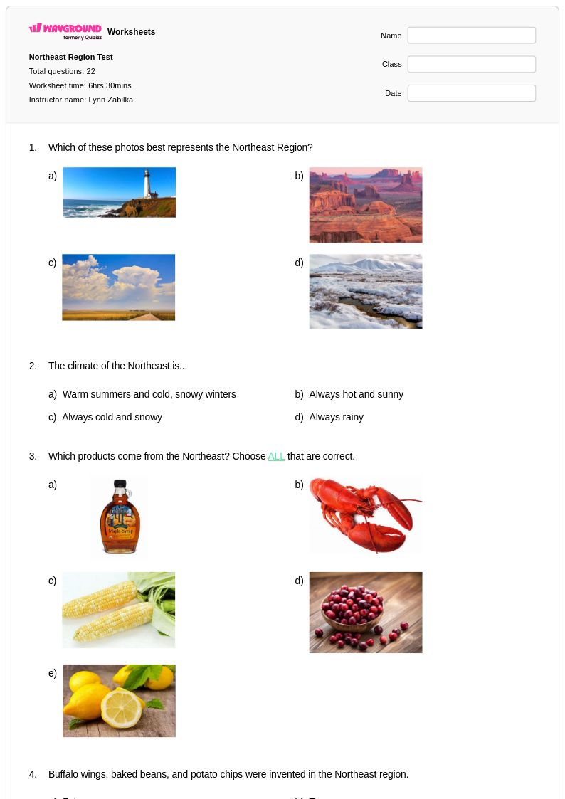
Northeast Region worksheets available through Wayground (formerly Quizizz) provide comprehensive educational resources that help students explore the geographical characteristics, cultural diversity, and economic foundations of America's northeastern states. These expertly crafted materials strengthen essential skills including map reading, data analysis, regional comparison, and critical thinking about human-environment interactions. Students engage with practice problems covering everything from the Appalachian Mountains and Atlantic Coastal Plain to major metropolitan areas like Boston, New York City, and Philadelphia. Each worksheet collection includes detailed answer keys and is available as free printables in convenient pdf format, allowing educators to seamlessly integrate authentic geographical learning experiences into their curriculum while building students' understanding of this economically and historically significant region.
Wayground (formerly Quizizz) supports educators with an extensive collection of teacher-created Northeast Region resources, drawing from millions of high-quality materials that undergo rigorous review and standards alignment. The platform's advanced search and filtering capabilities enable teachers to quickly locate worksheets that match specific learning objectives, whether focusing on physical geography, state capitals, industrial development, or demographic patterns. Differentiation tools and flexible customization options allow educators to modify content difficulty and scope to meet diverse classroom needs, while both printable and digital pdf formats ensure accessibility across various teaching environments. These comprehensive features streamline lesson planning while providing targeted resources for remediation, enrichment, and skill practice, empowering teachers to deliver engaging and effective Northeast Region geography instruction that builds students' regional literacy and spatial reasoning abilities.
FAQs
How do I teach the Northeast Region of the United States?
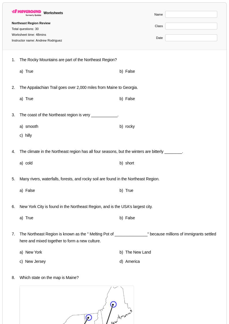
Start by anchoring instruction in physical geography — the Appalachian Mountains, Atlantic Coastal Plain, and major river systems — before connecting landforms to historical settlement and economic development. From there, move into cultural and demographic patterns, using case studies of cities like Boston, New York City, and Philadelphia to illustrate how geography shapes urbanization. Map-reading activities that ask students to identify state boundaries, capitals, and landforms simultaneously build spatial reasoning alongside content knowledge.
What exercises help students practice identifying Northeast states and capitals?
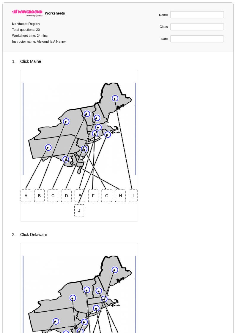
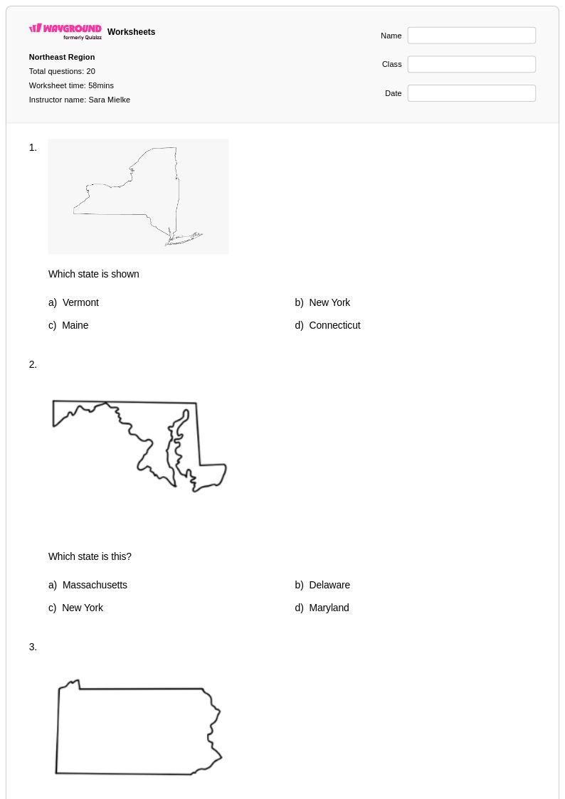
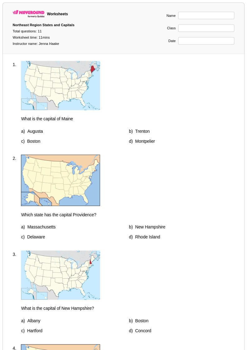
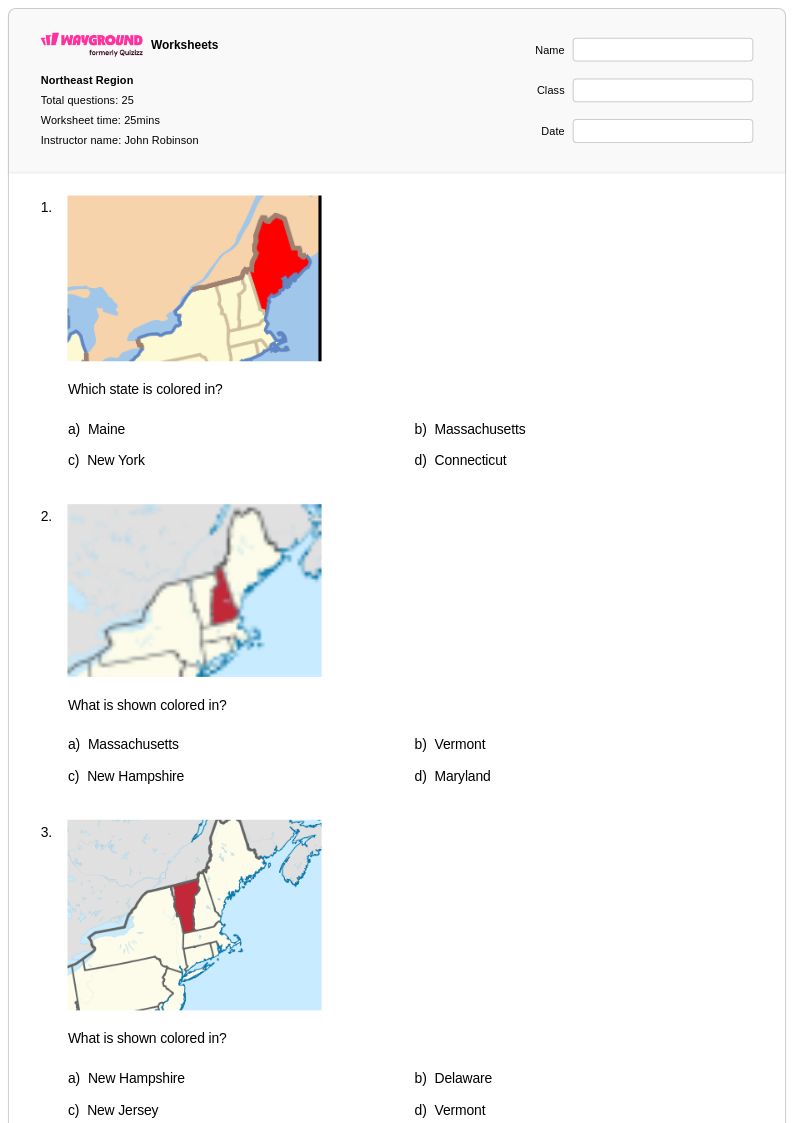
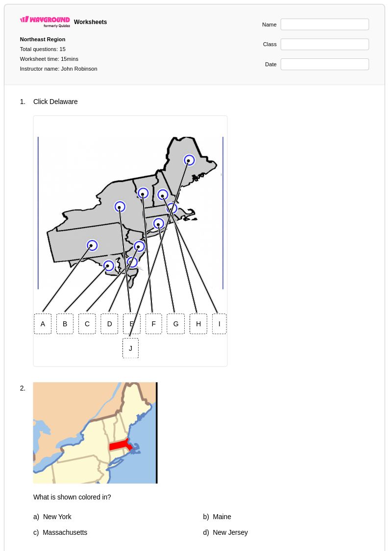
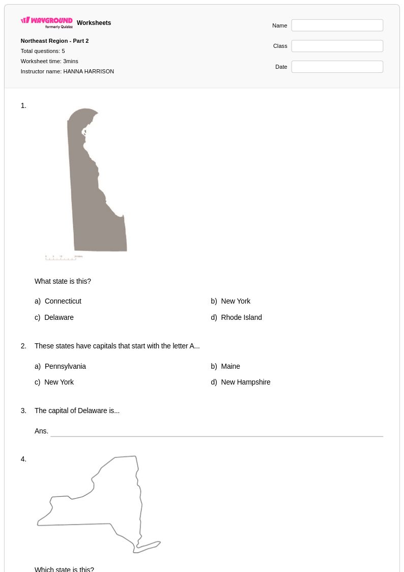
Blank map labeling exercises are among the most effective tools for building state and capital recognition, because the act of placing names spatially reinforces memory better than rote lists. Pair these with data analysis tasks that compare population density or economic output across northeastern states to give capitals and locations meaningful context. Regional comparison worksheets that contrast the Northeast with other U.S. regions also help students retain distinctions rather than memorizing in isolation.
What mistakes do students commonly make when learning about the Northeast Region?
Students frequently conflate New England with the entire Northeast, overlooking Mid-Atlantic states like New Jersey, Pennsylvania, and Delaware. Another common error is treating the Northeast as culturally uniform, when in fact it spans distinct historical, linguistic, and demographic subregions. Students also tend to underestimate the region's physical geography, reducing it to cities, so direct instruction on the Appalachians, coastal plains, and river systems is essential to building accurate mental maps.
How can I use Northeast Region worksheets to support different skill levels in my class?
Northeast Region worksheets can be differentiated by adjusting the complexity of tasks — for example, providing labeled reference maps for struggling learners while requiring advanced students to draw and annotate maps from memory. When using Wayground's digital format, teachers can apply accommodations such as read aloud for students who need audio support, reduced answer choices to lower cognitive load for select students, or extended time settings configured per student. These accommodations are saved and reusable across sessions, so setup stays minimal while support stays consistent.
How do I use Northeast Region worksheets from Wayground in my classroom?
Wayground's Northeast Region worksheets are available as printable PDFs for traditional classroom use and in digital formats for technology-integrated environments, including the option to host them as a quiz directly on Wayground. Teachers can use them as standalone practice, warm-up reviews, or formative assessment checkpoints within a broader geography unit. Each worksheet includes a complete answer key, which reduces grading time and makes the materials suitable for independent work, centers, or homework assignments.
How does the Northeast Region connect to broader U.S. geography standards?
The Northeast Region is a strong entry point for teaching human-environment interaction, one of the five geographic themes, because the region's dense urbanization, industrial history, and coastal geography illustrate how people both shape and adapt to their environment. It also supports standards around regional comparison, economic geography, and cultural diversity, making it a versatile anchor for units that extend into national or global geographic thinking. Connecting northeastern industrialization to Appalachian resource extraction, for example, helps students see geography as a system rather than a set of isolated facts.