
 Worksheets
Americas Geography Review Exam
Total questions: 129
Worksheet time: 1hrs 29mins

What map feature is circled in the picture?
Title
Compass Rose
North America
Directions

What river is shown below?
Mississippi River
Rio Grande River
Atlantic Ocean
Pacific Ocean

What river is shown below?
Mississippi River
Rio Grande River
Atlantic Ocean
Pacific Ocean

What lakes are shown in blue?
Large Lakes
Big Lakes
Great Lakes
North America Lakes
The Mississippi River is the longest river in North America.
True
False

Which mountain range is shown in red?
Appalachian Mountains
Rocky Mountians
Great Mountains
North America Mountains

Which mountain range is shown in red?
Appalachian Mountains
Rocky Mountains
Great Mountains
North America Mountains
The Rio Grande River is on the boundary of the United States and _______.
North America
South America
Canada
Mexico
The continent we live on is _______.
North America
South America
Europe
Asia

United States and Canada were colonized by --
Asia
Africa
South America
Europe

Which number on the map represents the Pacific Ocean?
5
1
6
4

What is the name of the body of water labeled number 1?
Gulf of Mexico
Arctic Ocean
Pacific Ocean
Great Lakes

Which mountain range stretches from Alaska to the North of Mexico?
Rocky Mountains
Appalachian Mountains
Great Basin & Range
Cascade Mountains


What mountain range is in the EASTERN part of the U.S.?
K. Garcia's Mountains
Appalachian Mountains
Rocky Mountains
Sierra Nevada Mountains

Which state can claim to have the highest spot in the United States?
California
Washington
Colorado
Alaska

Which mountain range is pictured here?
Appalachian Mtns.
Rocky Mtns.
Andes Mtns.
Ural Mtns.

Which mountain range is pictured here?
Rocky Mtns.
Andes Mtns.
Appalachian Mtns.
Canadian Mtns.

Which country is marked by the letter A?
Greenland
Canada
The United States
Mexico
Which country is marked by the letter B?
Greenland
Canada
The United States
Mexico
Which country is marked by the letter C?
Greenland
Canada
The United States
Mexico
Which country is marked by the letter D?
Greenland
Canada
The United States
Mexico

What are the landforms marked by E, F, H, J and I known by in the United States and Canada?
The Great Lakes
The Riotous Rivers
The Border Lakes
The Border Rivers

What landform is represented by letter B?
Rio Grande River
Canadian Rocky Mountains
Mississippi River
Appalachian Mountains
What landform is represented by letter D?
Rio Grande River
West Texas Canal
Mississippi River
Missouri River
What landform is represented by letter C?
Rio Grande River
West Texas Canal
Mississippi River
Missouri River
Which of the following would you expect to find on a PHYSICAL MAP? Select ALL that apply.
mountains
capitol cities
oceans
country borders
Which of the following would you expect to find on a POLITICAL MAP? Select ALL that apply.
deserts
major cities
rivers
country borders


This type of map shows landforms and bodies of water.
Physical Map
Political Map

This map shows borders and boundaries.
Physical Map
Political Map
Appalachian Mtns.
Rocky Mtns.
The Great Plains
Rio Grande River
Mississippi River
Cascade Mtns.
Sonoran Desert
Click on the Gulf of Mexico.
Which countries border the Great Lakes?
Canada
United States
Mexico
Greenland
Match the following
United States
Washington D.C.
Canada
Ottawa
Mexico
Mexico City
Greenland
Nuuk
Click on the Baja Peninsula.

Which number on the map is the Appalachian Mountains?
1
4
5
6

Which number on the map is the Canadian Shield?
2
3
4
7

Which number on the map is the Cascade Range?
1
4
5
6

Which number on the map is the Colorado River?
12
13
14
15

Which number on the map is the Great Lakes?
7
8
9
10

Which number on the map is the Great Plains?
2
3
4
5

Which number on the map is the Hudson Bay?
7
8
9
10

Which number on the map is the Mississippi River?
10
11
12
13

Which number on the map is the Missouri River?
10
11
12
13

Which number on the map is the Ohio River?
10
11
12
13

Which number on the map is the Rio Grande?
12
13
14
15

Which number on the map is the Rocky Mountains?
1
4
5
6

Which number on the map is the Sierra Nevada Mountains?
1
4
5
6

Which number on the map is the St. Lawrence River?
9
10
11
12

Which number on the map is the Tennessee River?
10
11
12
13
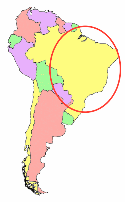
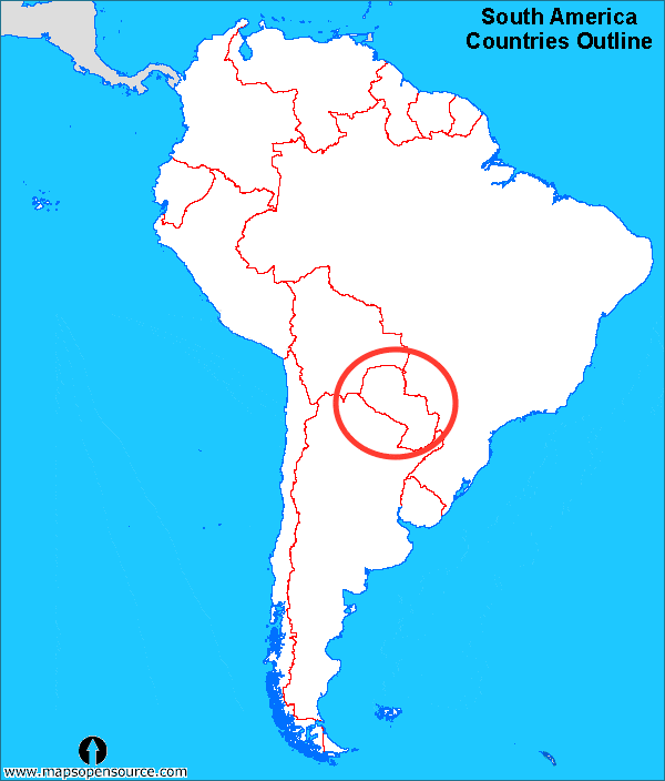
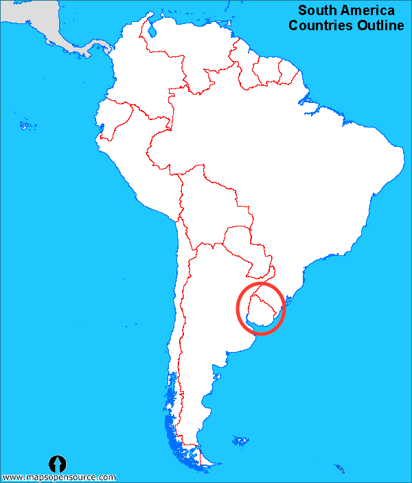
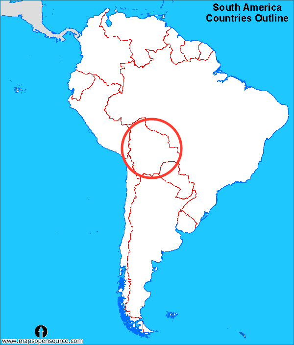
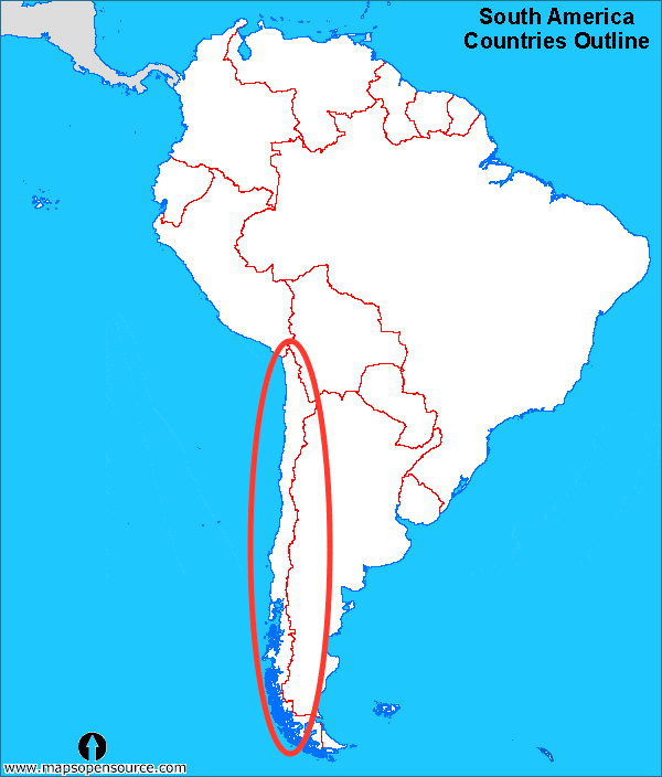
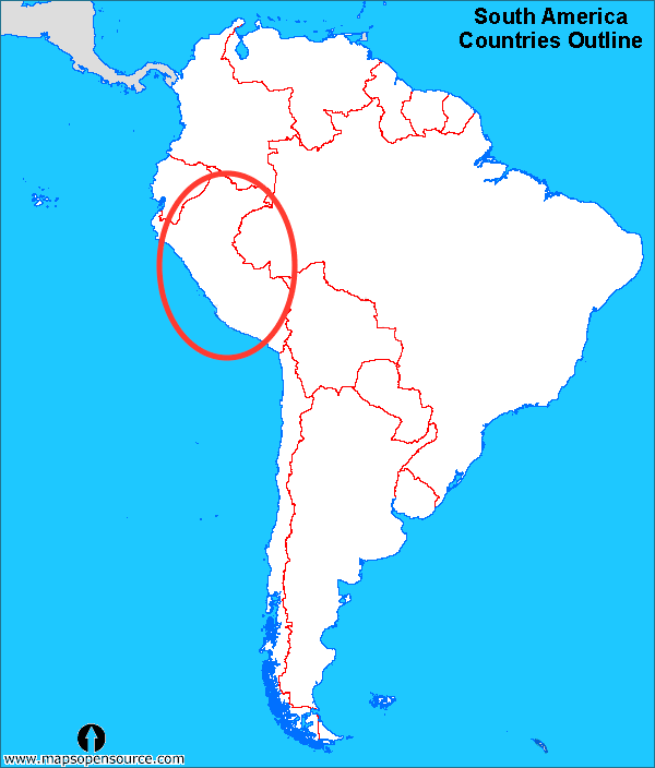
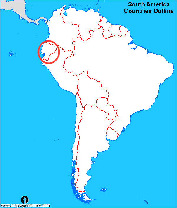
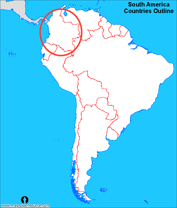
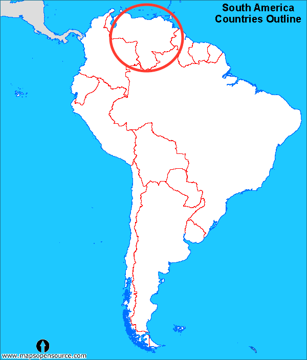
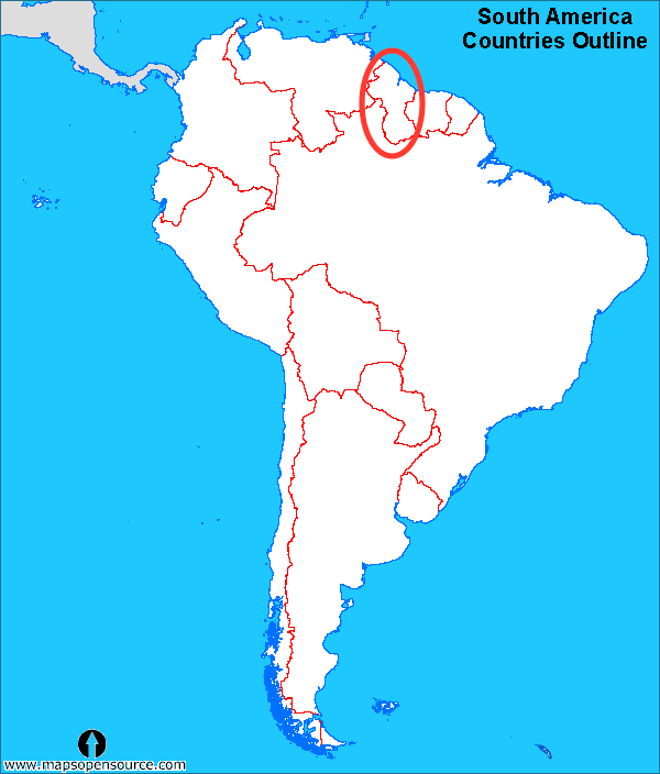
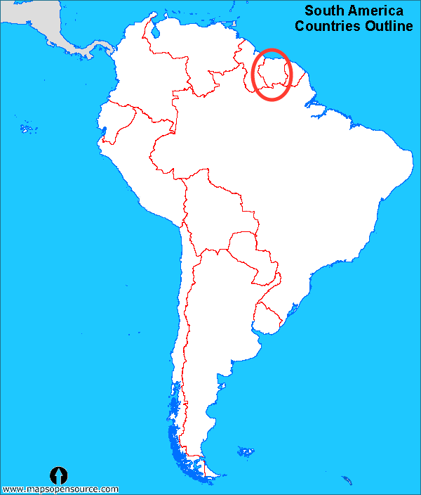
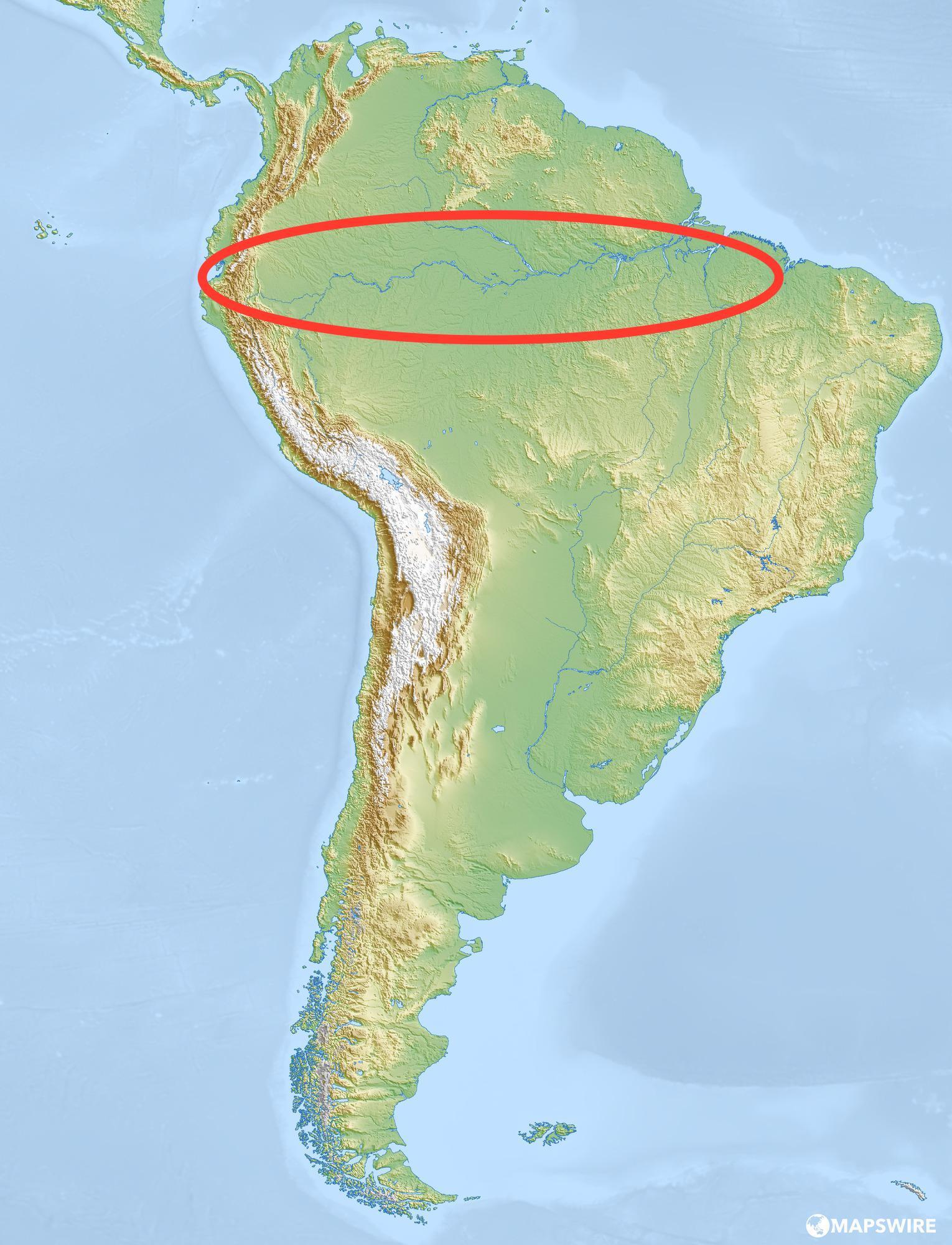
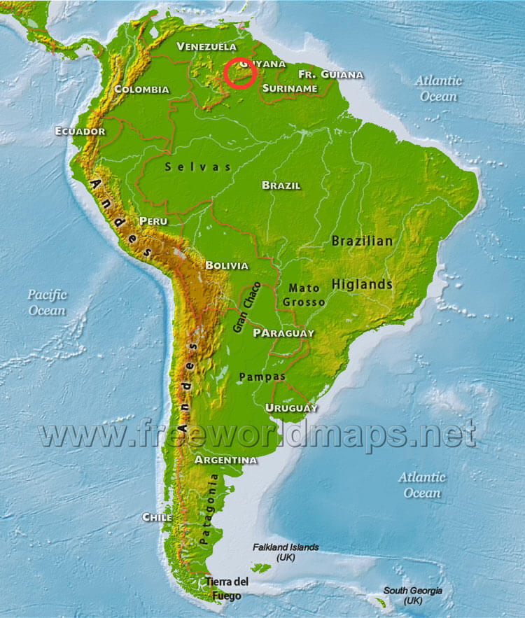
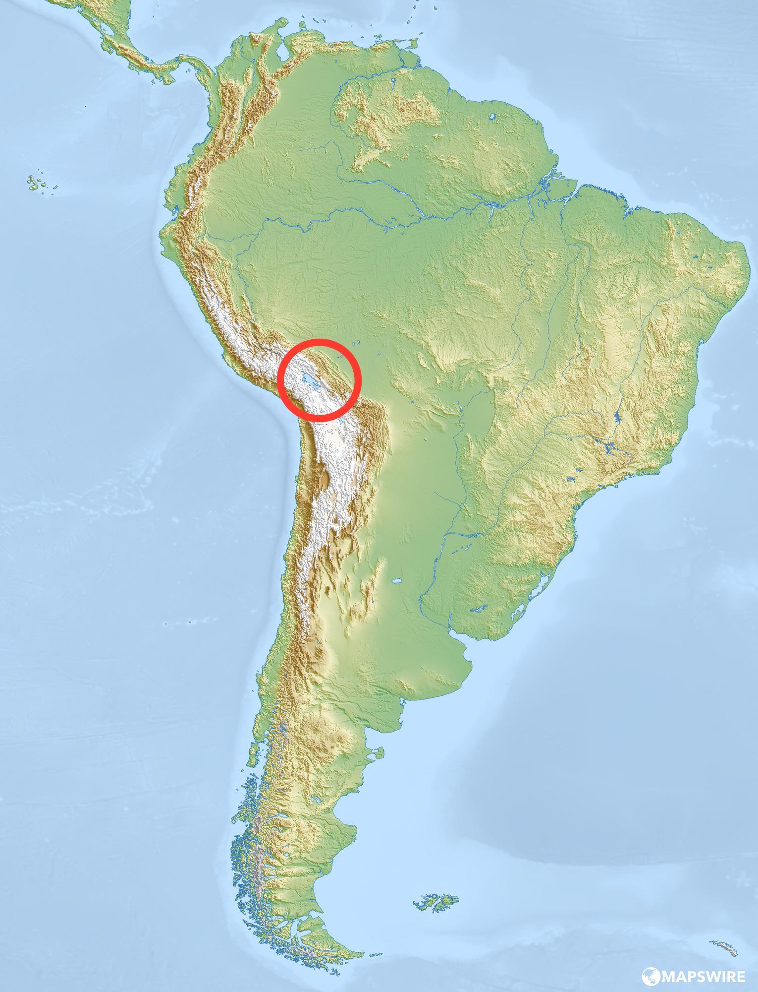

What country is this?
Uruguay
Argentina
Peru
What does the Atacama Desert refer to?
An annual festival in Brazil
A land formation having steep walls and a flat top
The major landforms and bodies of water in a region
A large desert in Northern Chile
Which term describes the official language of Brazil?
Carnival
Portuguese
Subtropical Climate
Exports
What is the Amazon Rainforest known for?
The clearing of a forest area of plants
A member of a South American people living in the central Andes before the Spanish conquest
The Lost City of the Incas on the top of a mountain outside of Cusco
World's largest tropical rainforest, covering almost 2 million square miles (mostly in Brazil)
Which of these biomes is NOT in South America?
Tropical Rainforest
Grasslands
Desert
Tundra
How are the seasons in the Northern and Southern hemispheres different?
One hemisphere never snows.
The seasons are the opposite.
There is no difference.
It only rains in the Southern hemisphere.
What word best describes South America's landscape?
Varied
Flat
Grassy
Dry
Which country has the majority of the tallest mountains in South America?
Chile
Brazil
Argentina
Bolivia
Which of these is NOT a geographic area in South America?
Andes Mountains
Brazilian Highlands
Cape Horn
Rocky Mountains
Tropical rainforests are found ______.
At the North Pole
On or near the equator
On the ocean floor
Only in the Southern Hemisphere
physical features
Major landforms and bodies of water in a region.
an annual festival held in Brazil that features song, dance, costumes, parades, and food.
a land formation having steep walls and a flat top
Goods sent to another country to be sold there.
hot, humid summers and mild, chilly winters.
the clearing of a forest area of plants
a member of a South American people living in the central Andes before the Spanish conquest
The Lost City of the Incas” on the top of a mountain outside of Cusco
Countries in South America
2 rivers in South America:
Amazon and Uruguay
Uses for the rainforest plants
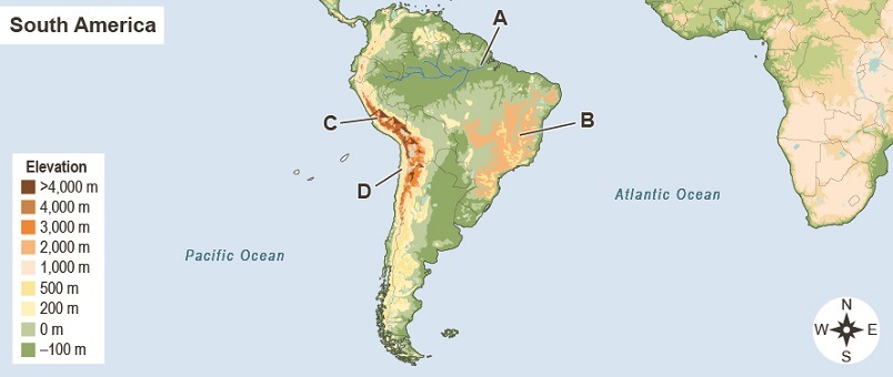
Which letter on the map identifies the location of the Andes Mountains?
A
B
C
D

What country is highlighted?
Bolivia
Uruguay
French Guiana
Guyana

What country is highlighted?
French Guiana
Bolivia
Uruguay
Paraguay

What country is highlighted?
Bolivia
Argentina
Uruguay
Columbia

What country is highlighted?
Chile
Argentina
Peru
Brazil

What country is highlighted?
Ecuador
Chile
Columbia
Bolivia

What country is highlighted?
Uruguay
Peru
Paraguay
Chile

What country is this?
Chile
Argentina
Peru
Brazil

Never Gonna Give You Up
Never gonna give you down
Never gonna let you down
never gonna THATS IT!!!
I GIVE YOU UP!!!!!!
Oop its an op quizziz!!

YOU WERE JUST
(a)
Second-longest river in the world; located in the Amazon Rainforest:
Amazon Rainforest
Amazon River
Nile River
Brazilian River

The ocean on the west coast of South America:
Atlantic Ocean
Pacific Ocean
Indian Ocean
Amazon River
What is topography?
What does the word "Mestizo" mean?
Which sentence uses the word "coup" correctly?
What does the word "monopoly" mean?
What country do Quechua people live in?

What geographic feature is marked as A on the map
Gulf of Panama
Atlantic Ocean
Gulf of Mexico
Caribbean Sea
Pacific Ocean
What geographic feature is marked as B on the map
Gulf of Panama
Atlantic Ocean
Gulf of Mexico
Caribbean Sea
Pacific Ocean
What geographic feature is marked as C on the map
Gulf of Panama
Atlantic Ocean
Gulf of Mexico
Caribbean Sea
Pacific Ocean
What geographic feature is marked as D on the map
Gulf of Panama
Atlantic Ocean
Gulf of Mexico
Caribbean Sea
Pacific Ocean
What geographic feature is marked as E on the map
Gulf of Panama
Atlantic Ocean
Gulf of Mexico
Caribbean Sea
Pacific Ocean

What place or feature is marked as A on the map
the Caribbean
United States
Mexico
South America
Tropic of Cancer
What place or feature is marked as B on the map
the Caribbean
United States
Mexico
South America
Tropic of Cancer
What place or feature is marked as C on the map
the Caribbean
United States
Mexico
South America
Tropic of Cancer
What place or feature is marked as D on the map
the Caribbean
United States
Mexico
South America
Tropic of Cancer
What place or feature is marked as E on the map
the Caribbean
United States
Mexico
South America
Tropic of Cancer

What is marked as A on the map
Yucatan Peninsula
Baja California Peninsula
Cozumel
the Bahamas
What is marked as C on the map
Yucatan Peninsula
Baja California Peninsula
Cozumel
the Bahamas
What is marked as D on the map
Yucatan Peninsula
Baja California Peninsula
Cozumel
the Bahamas
What is marked as B on the map
Pico de Orizaba
Pico Duarte
Lake Nicaragua
Rio Grande/Rio Bravo
What is marked with a triangle on the map
Pico de Orizaba
Pico Duarte
Volcan Tajumulco
Rio Grande/Rio Bravo

Using the map, match the countries to
Country A
Cuba
Country B
Jamaica
Country C
Haiti
Country D
Dominican Republic
Country E
Puerto Rico
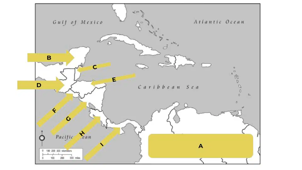
What is marked as A on the map
Mexico
South America
Panama
Costa Rica
What is marked as B on the map
Mexico
South America
Panama
Costa Rica
What is marked as I on the map
Mexico
South America
Panama
Costa Rica
What is marked as H on the map
Mexico
South America
Panama
Costa Rica
Match the labeled countries with their names
Country C
Belize
Country D
Guatemala
Country E
Honduras
Country F
El Salvador
Country G
Nicaragua
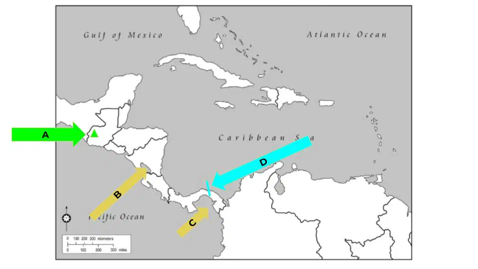
Match the following places on the map to their name
Letter A/Triangle
Volcan Tajumulco
Letter B
Lake Nicaragua
Letter C
Gulf of Panama
Letter D
Panama Canal
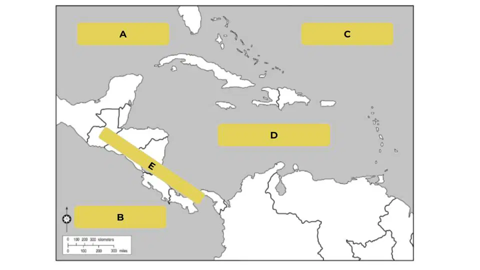
Match the following places on the map to their name
Letter A
Gulf of Mexico
Letter B
Pacific Ocean
Letter C
Atlantic Ocean
Letter D
Caribbean Sea
Letter E
Central America
Match the following vocab words to their definition
Isthmus
narrow strip of land
Cloud Forest
area with low clouds
Panama Canal
man made waterway
Volcan Tajumulco
highest point in Central Am.
Mesoamerican Reef
largest reef in the western hem.
Match the following vocab words to their definition
region between Panama and Columbia
Darien Gap
blending of beliefs and practices
syncretism
using the natural environment for tourism
ecotourism
based around crops like coffee and sugar
one crop economy
Mayans
ancient Mesoamerican Empire

