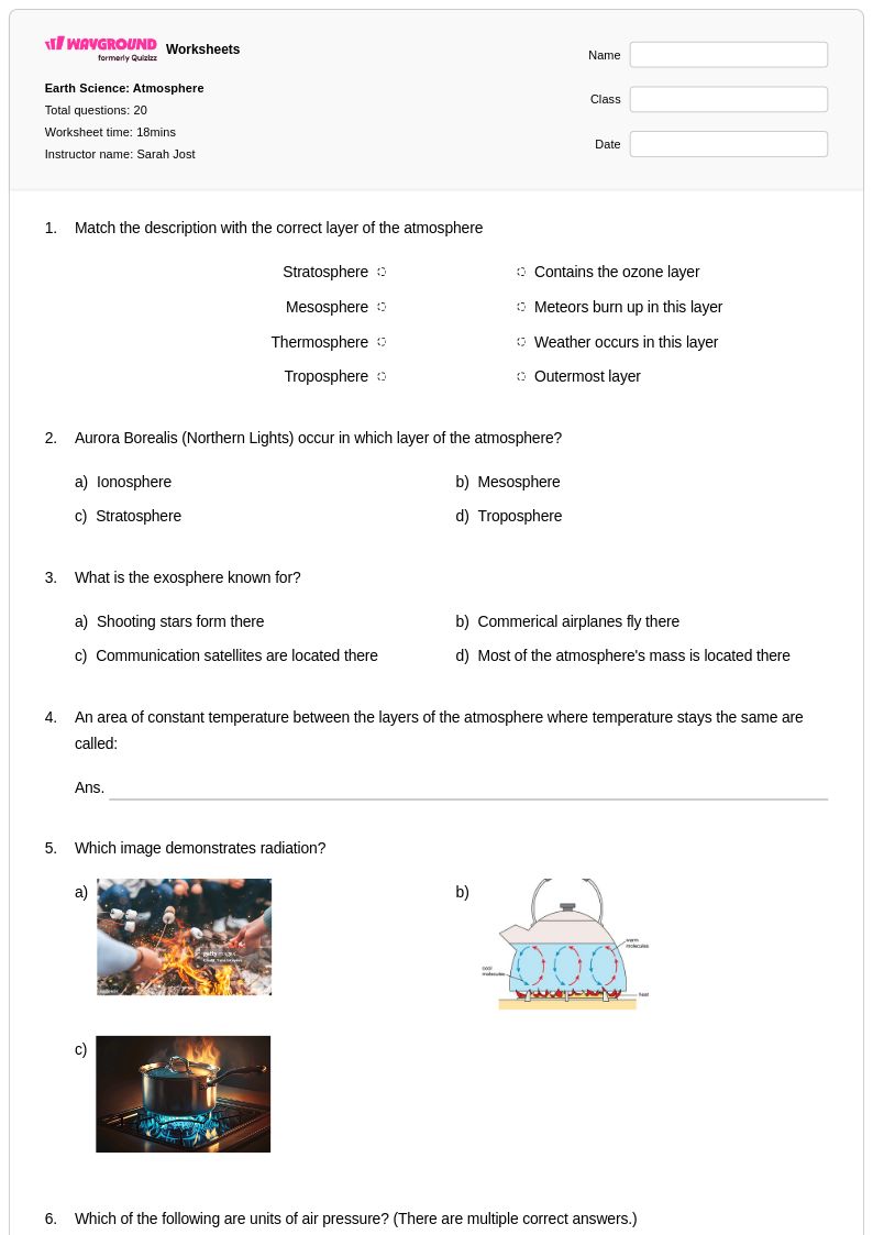
Explore Wayground's comprehensive collection of free Global Wind Patterns worksheets and printables that help students master atmospheric circulation, trade winds, and planetary wind systems through engaging practice problems and detailed answer keys.
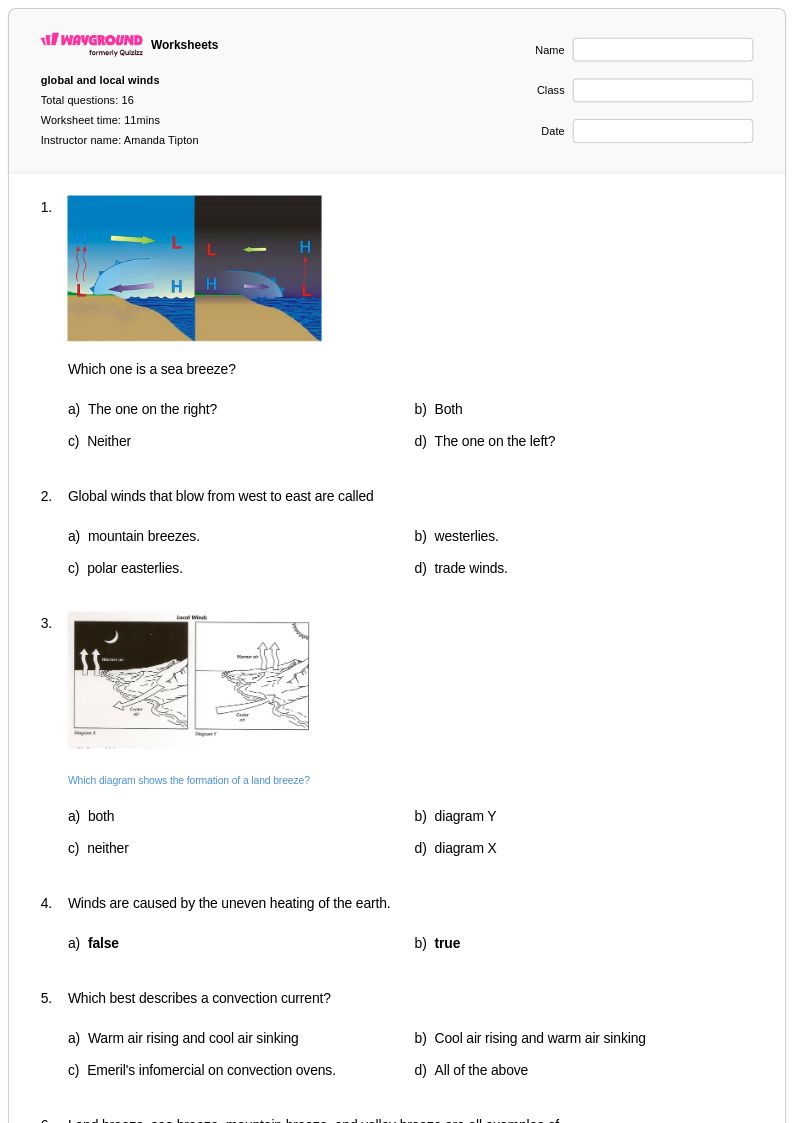
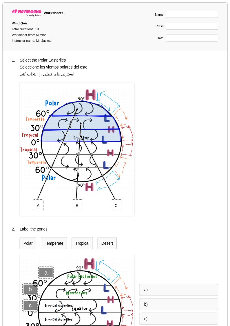
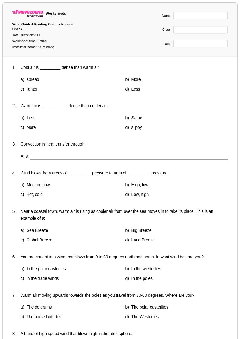
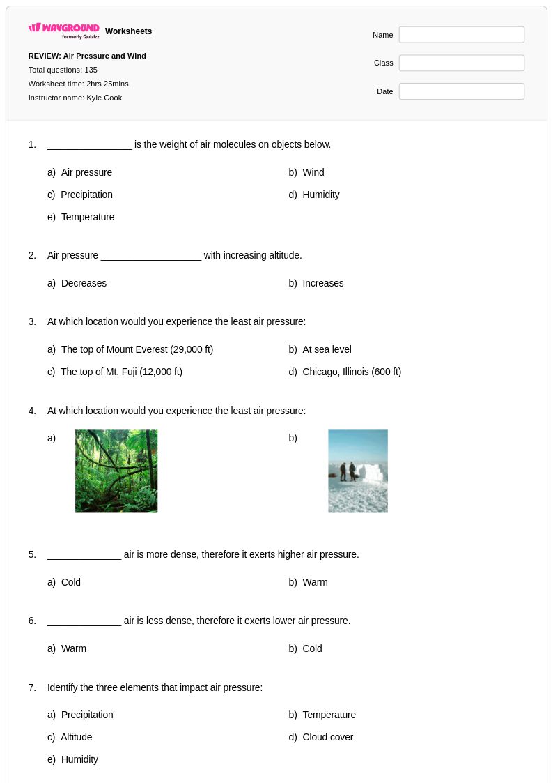
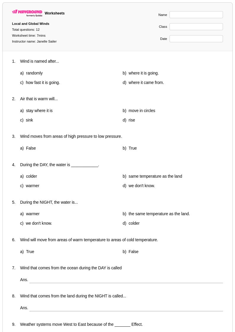
Global wind patterns worksheets available through Wayground (formerly Quizizz) provide comprehensive educational resources that help students understand the complex atmospheric circulation systems that drive weather and climate across our planet. These expertly designed worksheets guide learners through the fundamental concepts of global air circulation, including the formation of trade winds, westerlies, and polar easterlies, while exploring how the Coriolis effect, temperature gradients, and pressure systems create predictable wind belts around Earth. Students engage with practice problems that challenge them to analyze wind direction changes, interpret atmospheric pressure maps, and connect global wind patterns to regional climate characteristics. Each worksheet includes detailed answer keys that support independent learning and self-assessment, with free printables available in convenient pdf format to accommodate diverse classroom needs and study preferences.
Wayground (formerly Quizizz) empowers educators with millions of teacher-created resources specifically focused on global wind patterns and broader Earth and space science concepts, featuring robust search and filtering capabilities that allow instructors to quickly locate materials aligned with specific learning standards and curriculum requirements. The platform's differentiation tools enable teachers to customize worksheets for various skill levels, supporting both remediation for struggling learners and enrichment opportunities for advanced students who need additional challenges in understanding atmospheric dynamics. Available in both printable and digital formats including downloadable pdf files, these resources streamline lesson planning while providing flexible options for in-class activities, homework assignments, and assessment preparation. Teachers can efficiently adapt content to meet individual student needs, whether focusing on basic wind pattern identification or advancing to complex analysis of how global circulation affects regional weather phenomena and long-term climate trends.
FAQs
How do I teach global wind patterns to middle or high school students?
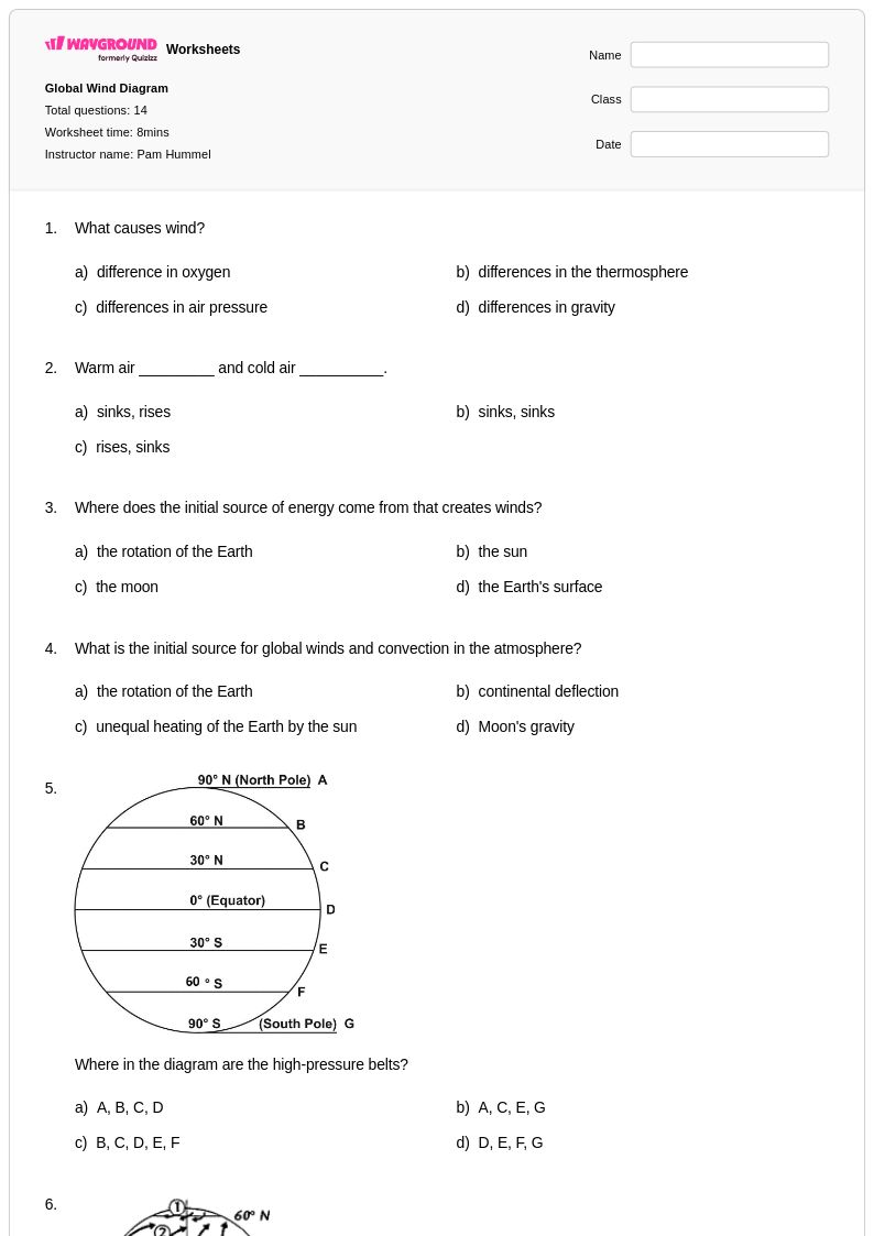
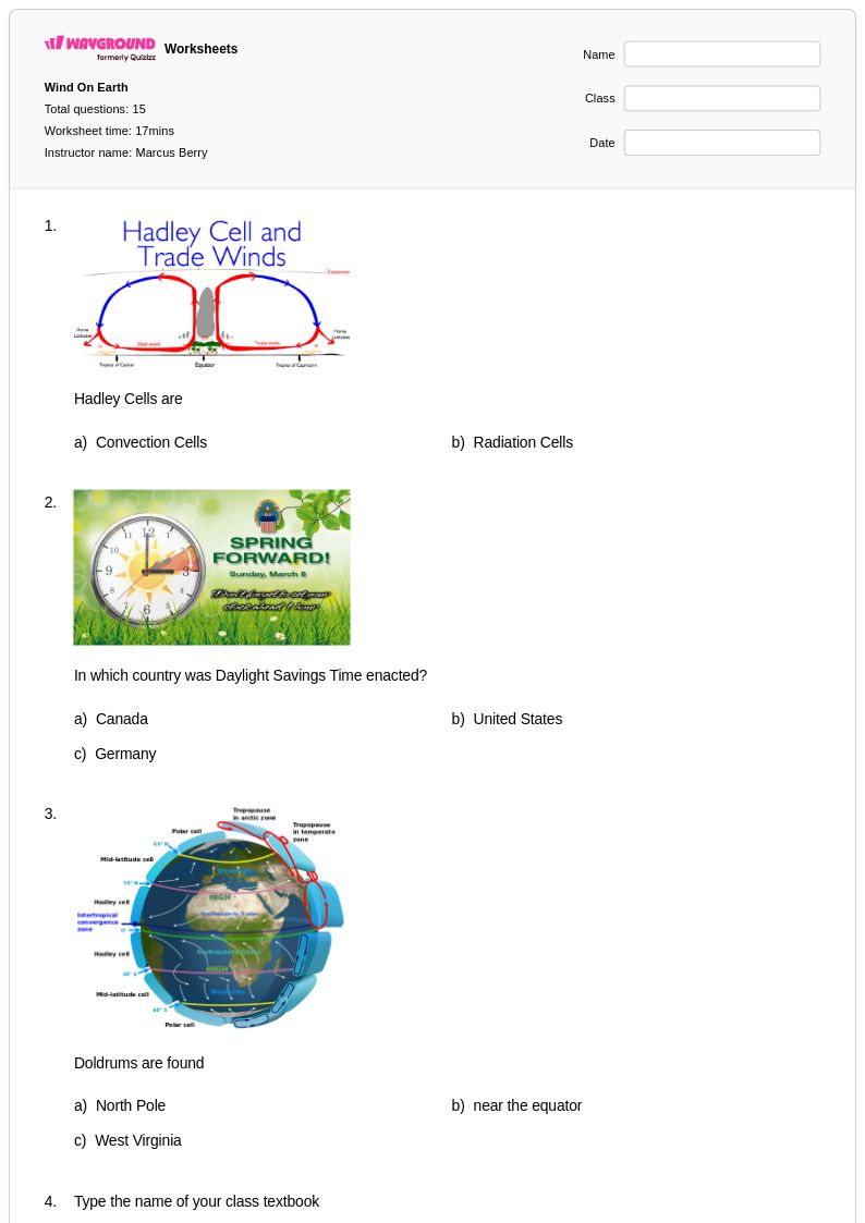
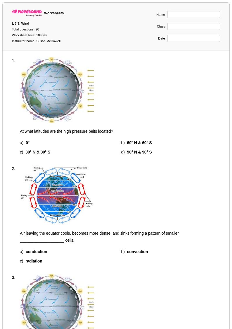
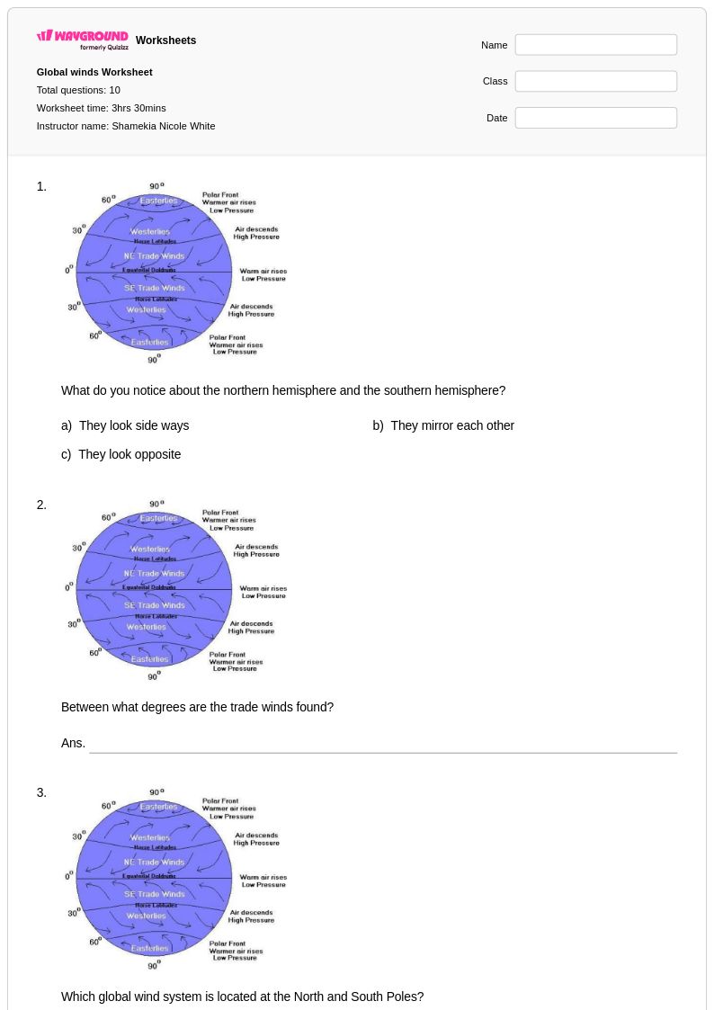
Start by grounding students in the unequal heating of Earth's surface, which drives atmospheric circulation. From there, introduce the three major wind belts — trade winds, westerlies, and polar easterlies — and explain how the Coriolis effect deflects moving air masses. Using pressure maps and labeled diagrams alongside direct instruction helps students visualize why these patterns are predictable and globally consistent.
What exercises help students practice identifying global wind patterns?
Effective practice exercises include labeling blank Earth diagrams with wind belt locations, interpreting atmospheric pressure maps to predict wind direction, and analyzing how the Coriolis effect influences air movement in each hemisphere. Connecting wind pattern identification to real-world climate characteristics — such as why trade winds bring moisture to tropical coastlines — deepens conceptual understanding and moves students beyond rote memorization.
What misconceptions do students commonly have about global wind patterns?
A frequent misconception is that wind simply moves from hot regions to cold regions in a straight line, overlooking the role of Earth's rotation and the Coriolis effect. Students also often confuse the direction of deflection between the Northern and Southern Hemispheres. Another common error is treating the three wind belts as isolated systems rather than understanding them as part of a continuous, interconnected atmospheric circulation driven by pressure gradients.
How does the Coriolis effect relate to global wind patterns, and how do I explain it clearly?
The Coriolis effect causes moving air masses to deflect to the right in the Northern Hemisphere and to the left in the Southern Hemisphere due to Earth's rotation. This deflection is what gives trade winds, westerlies, and polar easterlies their characteristic directions rather than flowing directly north or south. A useful classroom strategy is to have students trace airflow paths on a rotating globe model or diagram, which makes the deflection tangible and easier to internalize than a verbal explanation alone.
How can I use global wind patterns worksheets to differentiate instruction for different skill levels?
For students who need additional support, begin with structured worksheets that provide labeled diagrams and guided questions focused on identifying the three main wind belts and their locations. More advanced students can work with atmospheric pressure map analysis and open-ended questions that ask them to connect global wind patterns to regional climate phenomena. On Wayground, teachers can also apply accommodations such as read aloud, reduced answer choices, or extended time to individual students when assigning digital versions of these worksheets, ensuring every learner can access the material at an appropriate level.
How do I use Wayground's global wind patterns worksheets in my classroom?
Wayground's global wind patterns worksheets are available as printable PDFs for traditional classroom use and in digital formats for technology-integrated environments, giving teachers flexibility for in-class activities, homework, and assessment prep. In digital mode, teachers can host worksheets as a quiz directly on Wayground, enabling instant feedback and streamlined grading. Answer keys are included with every worksheet, supporting both teacher-led review and independent student self-assessment.