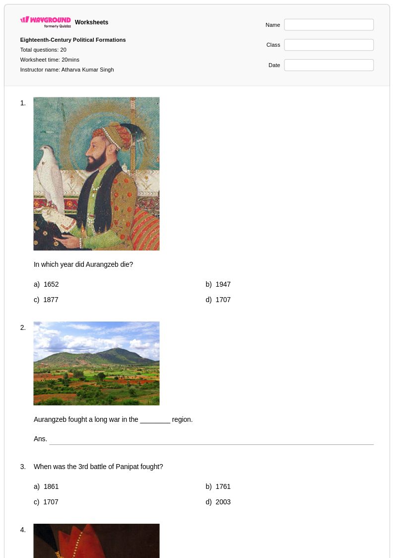
Free Printable 1763 Territorial Boundaries Worksheets for Class 7
Class 7 students can explore 1763 territorial boundaries through Wayground's comprehensive collection of free worksheets, printables, and practice problems with answer keys that help master this pivotal period in U.S. History.
Explore printable 1763 Territorial Boundaries worksheets for Class 7
Seventh grade students exploring 1763 territorial boundaries will find comprehensive worksheet collections through Wayground that illuminate this pivotal moment in American colonial history. These carefully designed resources help students analyze the complex territorial changes following the French and Indian War, including the Proclamation of 1763 and its impact on colonial expansion westward. The worksheets strengthen critical thinking skills through map analysis activities, primary source document examination, and comparative studies of pre- and post-war territorial claims. Students engage with practice problems that require them to identify key geographical boundaries, understand the political motivations behind territorial decisions, and evaluate the consequences for both colonists and Native American populations. Each worksheet comes with a detailed answer key to support independent learning, and the printable pdf format ensures easy access for both classroom instruction and homework assignments, making these free educational resources invaluable for mastering this foundational period in U.S. history.
Wayground's extensive platform provides educators with millions of teacher-created resources specifically aligned with social studies standards, offering robust search and filtering capabilities to locate the most relevant 1763 territorial boundaries materials for grade 7 instruction. Teachers can efficiently differentiate instruction by selecting from various complexity levels and worksheet formats, whether they need remediation materials for struggling learners or enrichment activities for advanced students. The platform's flexible customization tools allow educators to modify existing worksheets or combine multiple resources to create comprehensive lesson packets that address specific learning objectives. Available in both digital and printable formats, these worksheet collections seamlessly integrate into any teaching environment, supporting diverse instructional approaches from traditional paper-based practice to interactive digital assignments. This comprehensive resource library streamlines lesson planning while ensuring students receive targeted skill practice in analyzing territorial changes, understanding geographical concepts, and connecting historical events to their lasting impact on American development.
FAQs
How do I teach the 1763 territorial boundaries to my history students?
Start by grounding students in the outcome of the French and Indian War before introducing the Treaty of Paris (1763) and its redistribution of North American territories. Use annotated maps to show Britain's acquisition of French lands east of the Mississippi, Spain's control of Louisiana Territory, and the Proclamation Line of 1763. Connecting these boundary changes to colonial tensions — particularly settler frustration with the Proclamation Line — helps students see geography as a driver of political conflict rather than a static fact to memorize.
What exercises help students practice interpreting the 1763 territorial changes?
Map-labeling activities are especially effective for building fluency with the 1763 boundaries, requiring students to identify and distinguish British, Spanish, and French-ceded territories. Pairing map work with primary source excerpts from the Treaty of Paris or the Proclamation of 1763 pushes students to connect visual geography with documentary evidence. Analytical questions that ask students to evaluate why specific boundary decisions were made add a layer of critical thinking beyond simple identification.
What mistakes do students commonly make when learning about the 1763 territorial boundaries?
A frequent misconception is conflating the Treaty of Paris (1763) with the Treaty of Paris (1783), which ended the American Revolution — students often confuse which war each treaty resolved and which boundaries each established. Students also tend to overlook Spain's role entirely, focusing only on British gains and missing that France ceded Louisiana Territory to Spain rather than Britain. Another common error is treating the Proclamation Line as a permanent border rather than a temporary measure that immediately generated colonial resistance.
How does the 1763 Proclamation Line connect to later events like the American Revolution?
The Proclamation Line of 1763 prohibited British colonists from settling west of the Appalachian Mountains, which generated significant resentment among land-hungry settlers and speculators who had expected territorial rewards after the war. This restriction became one of several grievances colonists cited against British authority in the years leading up to the Revolution. Teaching this connection helps students understand that the Revolution was not a sudden rupture but the result of accumulated tensions, with the 1763 boundaries serving as an early flashpoint.
How can I use 1763 Territorial Boundaries worksheets in my classroom?
These worksheets are available as printable PDFs for traditional classroom use and in digital formats for technology-integrated environments, including the option to host them as a quiz on Wayground. Printable versions work well for structured map activities or document analysis during direct instruction, while digital formats support independent practice, homework assignments, or flipped classroom models. For students who need additional support with map interpretation, Wayground's Read Aloud and reduced answer choices accommodations can be applied individually without disrupting the rest of the class.
How do I differentiate 1763 territorial boundary instruction for different skill levels?
For students still building foundational map skills, begin with simplified territorial outlines and focus on identifying only the major boundary shifts before introducing nuanced analysis. Advanced learners benefit from tasks that ask them to evaluate the long-term consequences of the 1763 boundaries on westward expansion, Native American displacement, and colonial political identity. On Wayground, teachers can assign extended time or reduced answer choices to individual students, allowing differentiation to happen quietly in the background while all students work from the same core materials.